
Quick report
- Cracking
- isolated
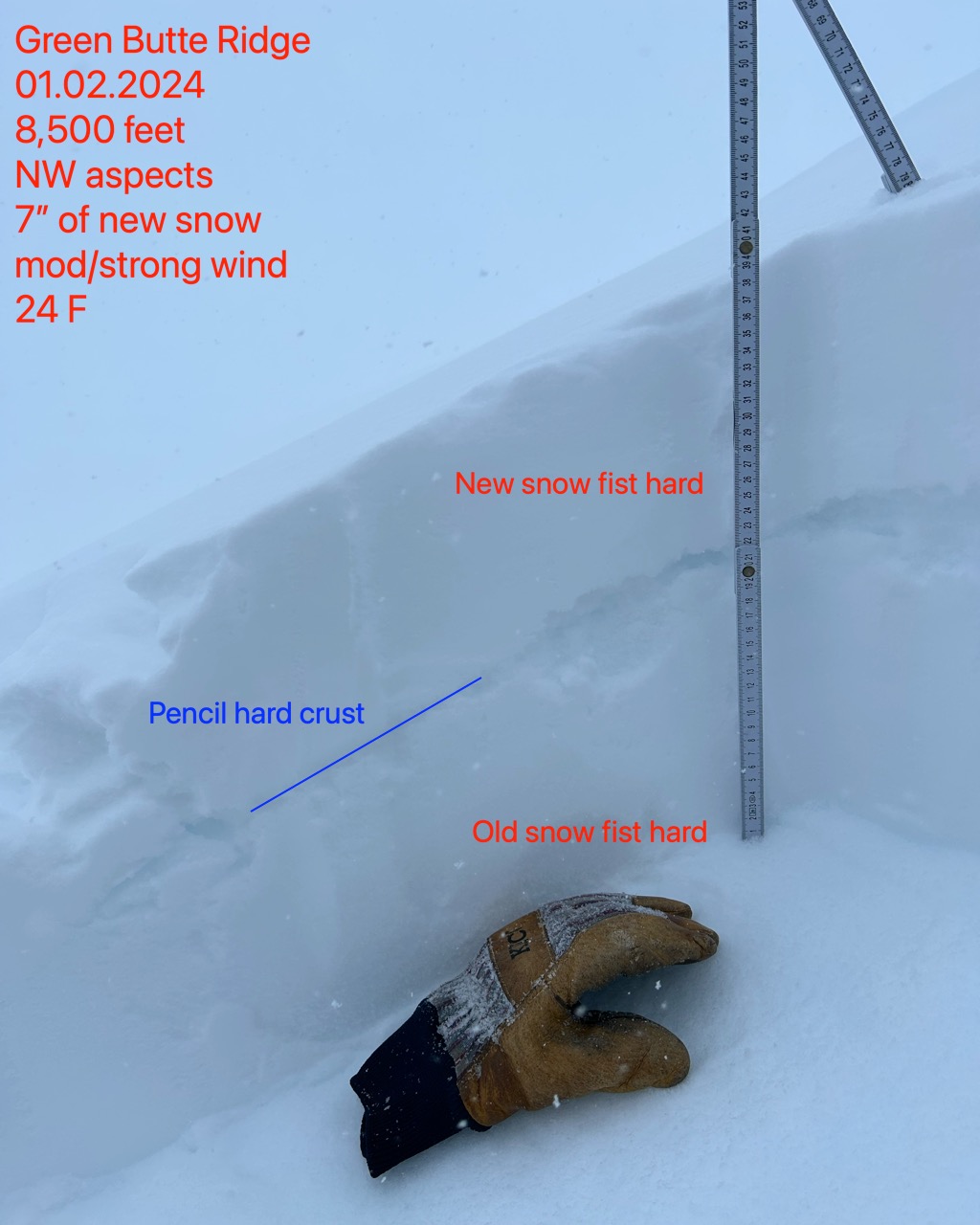
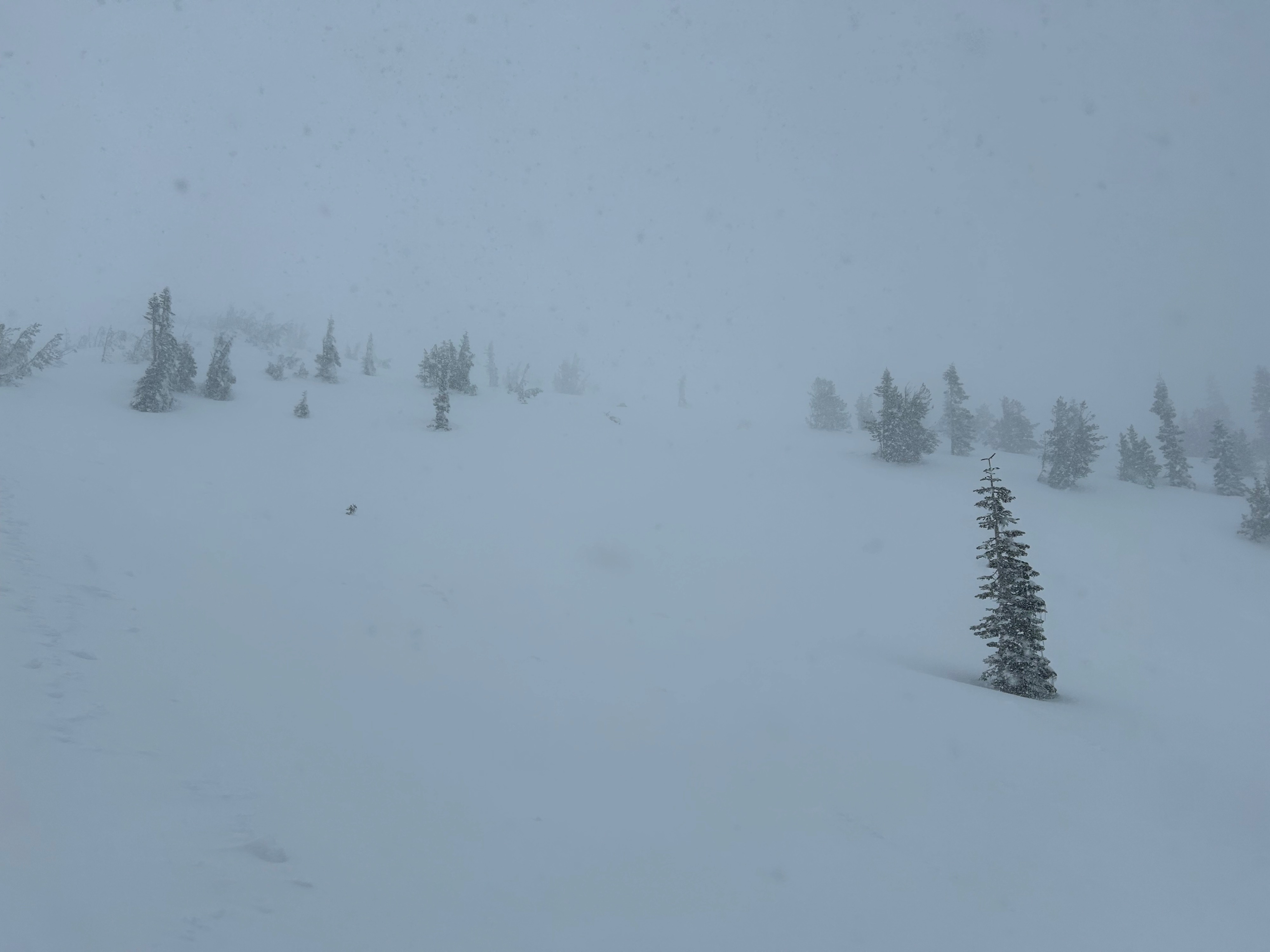
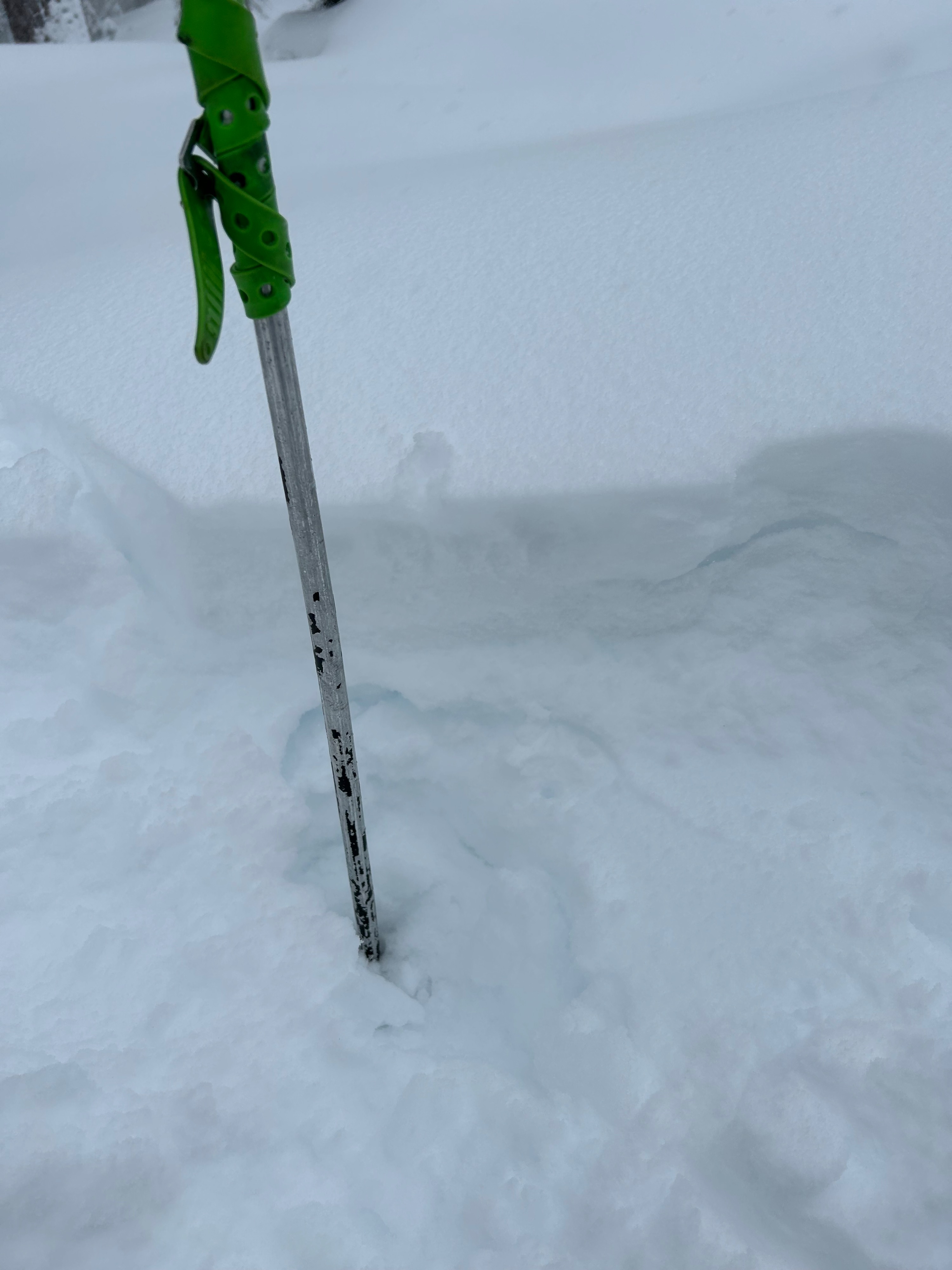
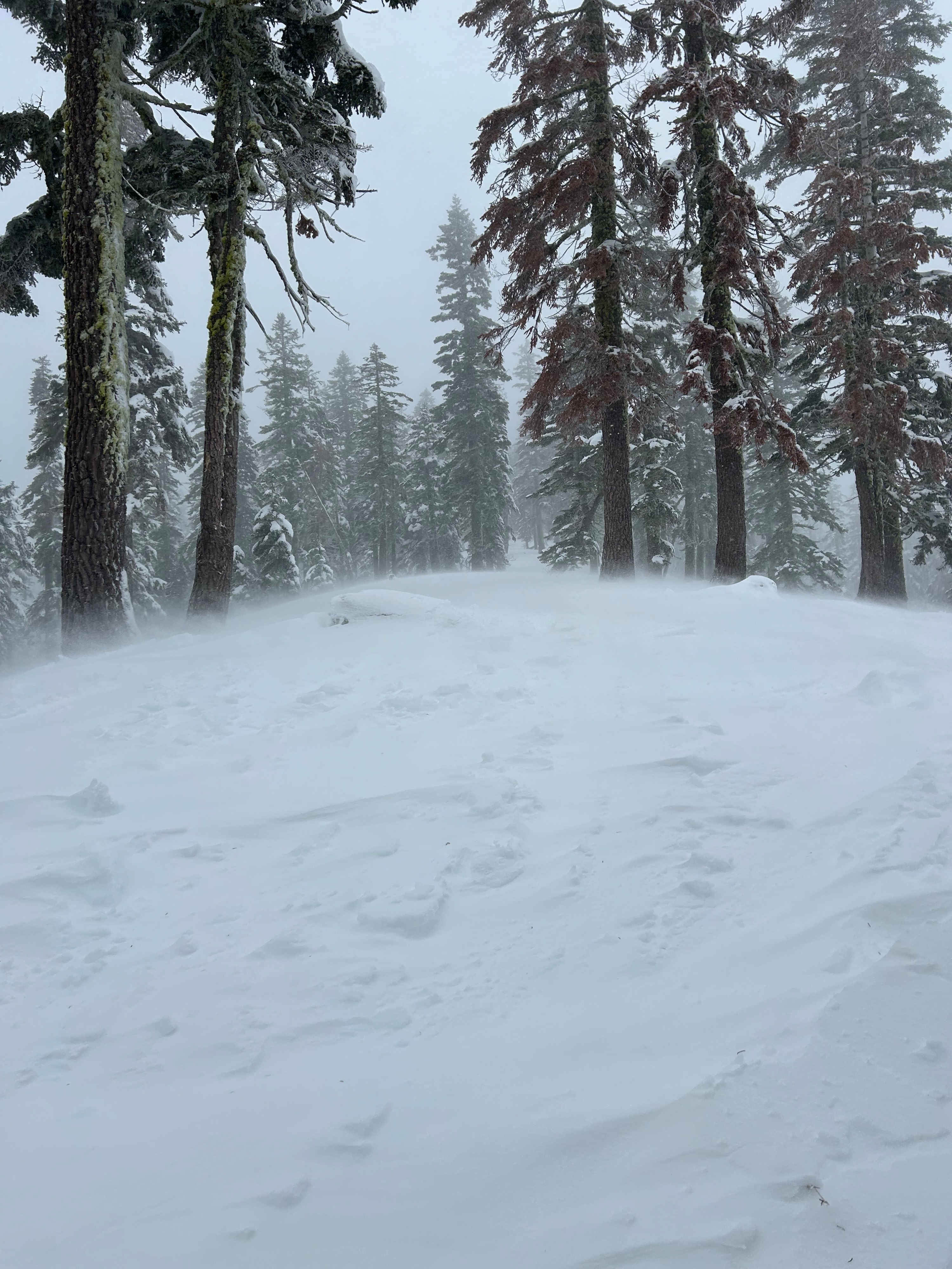
Today, I toured up to near treeline on Green Butte Ridge to stick my face in the storm and see what I could see. Which, wasn't much considering how much snow was blowing around and the terrible visibility. Blowing snow was observed loading and cross-loading slopes on all aspects. Below treeline, the visibility was better and winds were still transporting snow. For mid and lower elevations, a breakable crust ranging in thickness is now sandwiched in between old snow and new. This crust was hosting as a planer bed surface for the new snow to slide on, which I discovered through several hasty pits dug along my tour. All in all, lots of dry snow is available for the wind to transport, with limited visibility and feedback from the storm thus far.
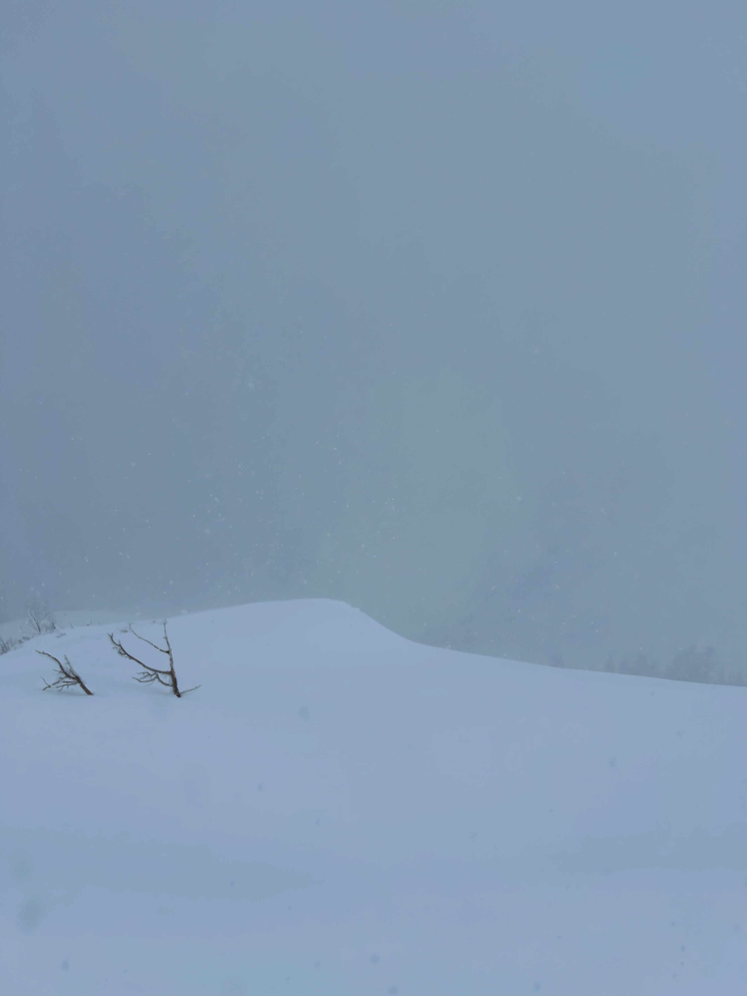
A large shooting crack five to seven feet long was observed on a leeward northwest ridge near treeline.Weather
- Air Temp
- 24
- Cloud Cover
- obscured
- Wind Loading
- intense
- Recent Snowfall
- 17
- Snow Avail For Transport
- large amounts
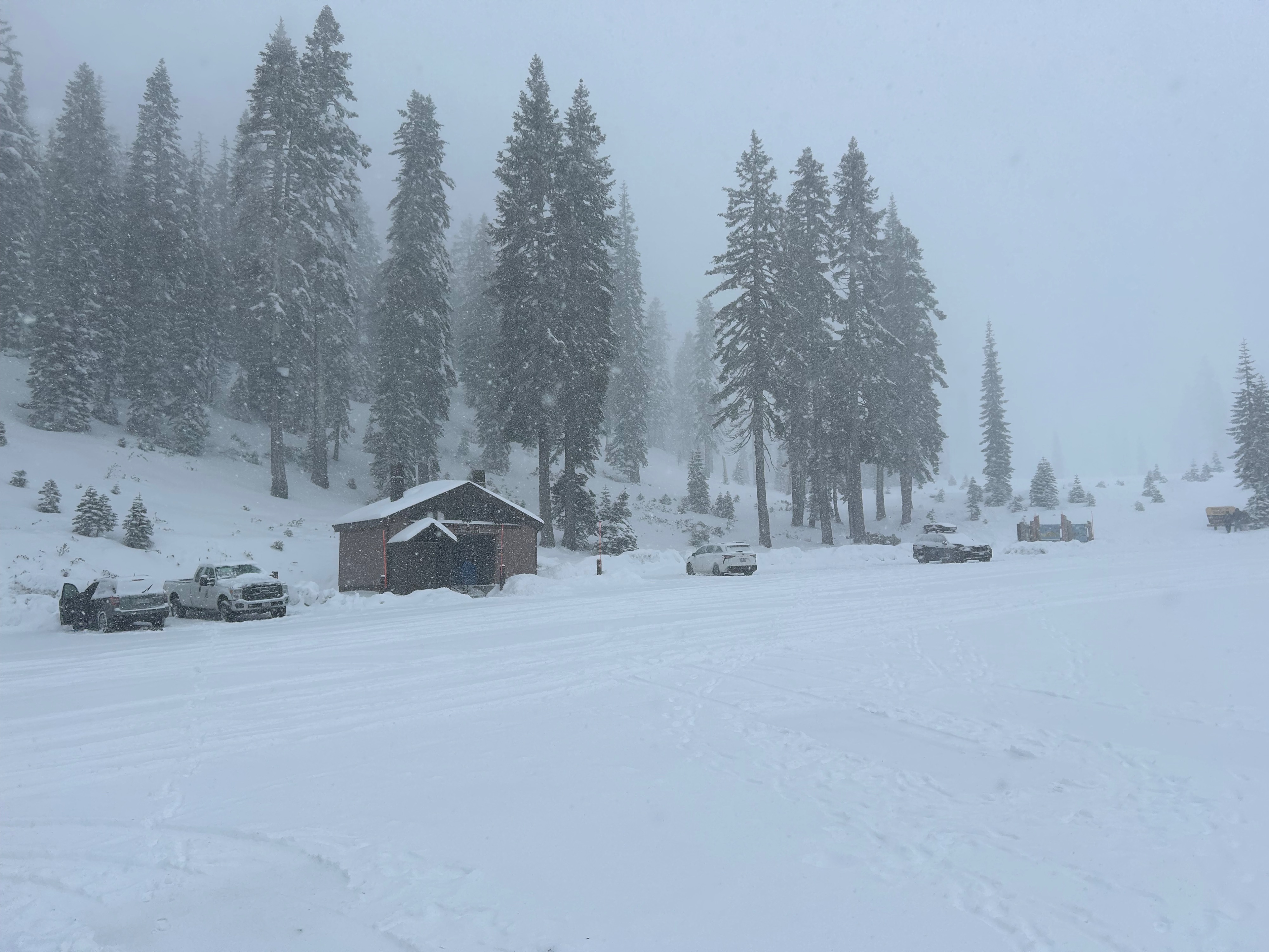
The day was full of blowing snow from variable directions at moderate to strong speeds. Snow fell for the entirety of the outing at S3-S4 rates. Temperatures remand below freezing with a brisk wind chill.
Snowpack
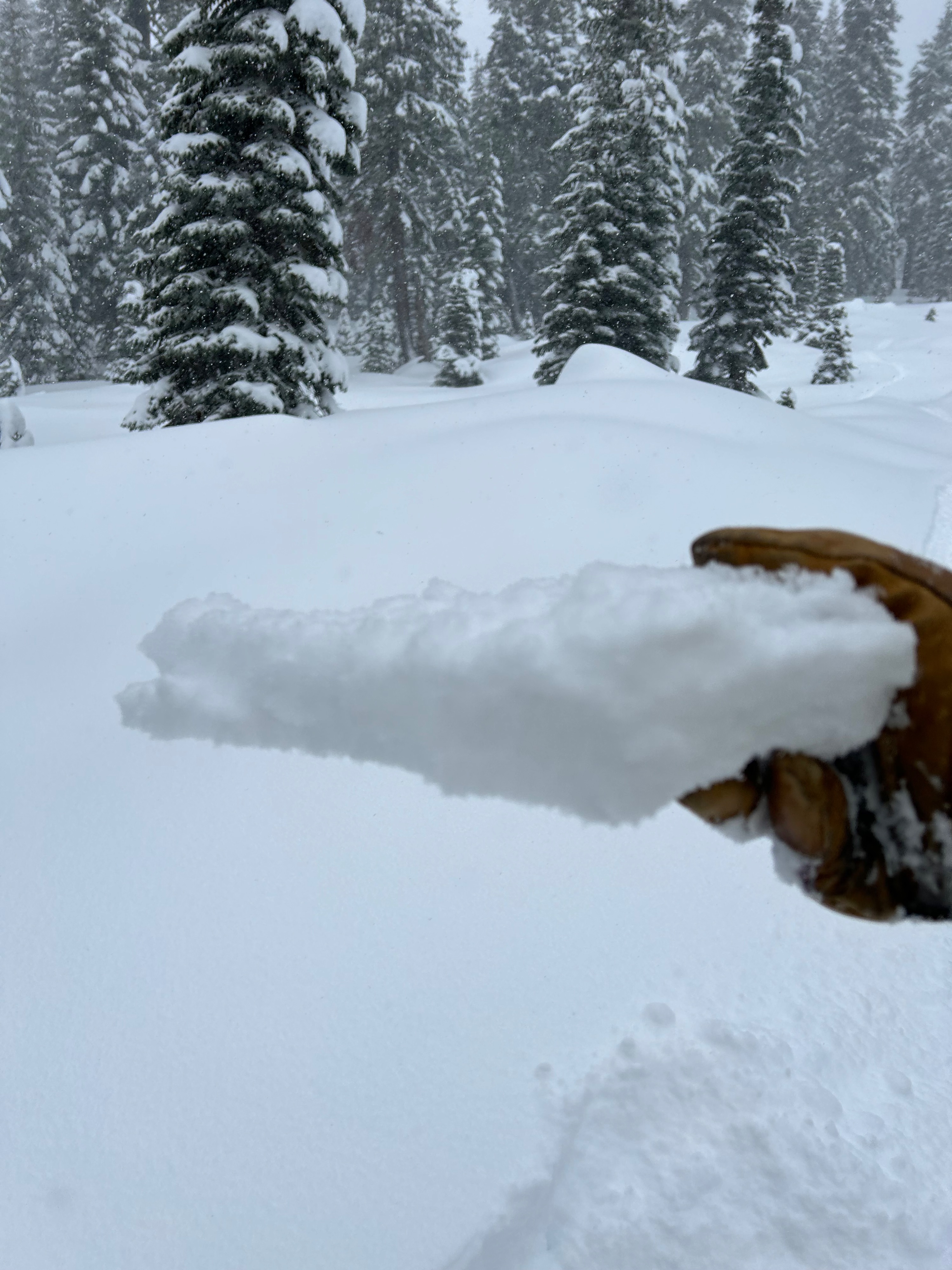
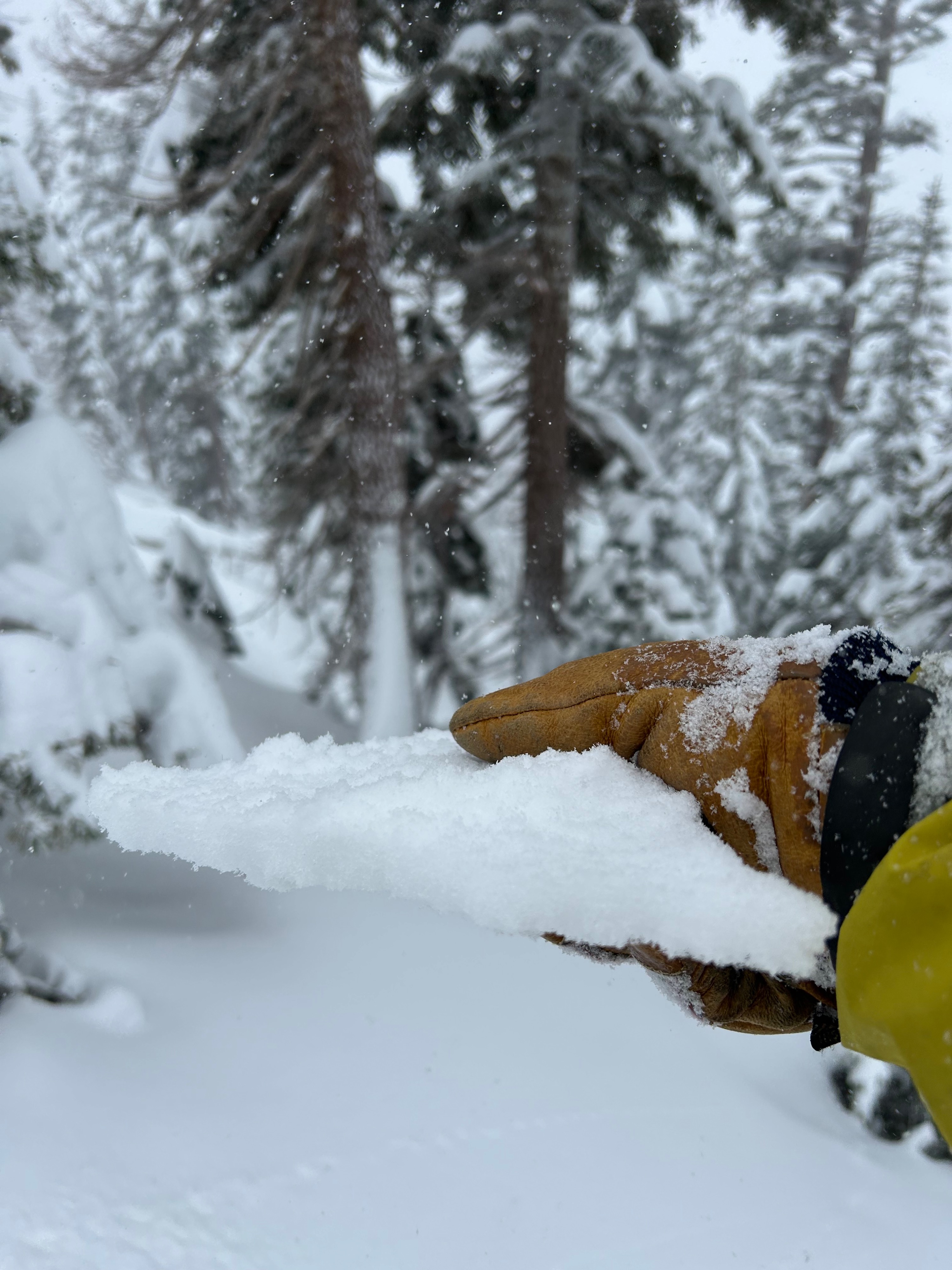
Below treeline, five inches (12 cm) of new snow was observed above a one-inch thick breakable crust. Near treeline, seven inches (15 cm) of new snow was observed above a 2 cm thick breakable crust. Beneath the crust, is another 7 inches (15 cm) of soft snow above a bulletproof snowpack (see photo). The higher I traveled, the less pronounced the underlying crust became. The new snow was light and of dry quality.