
Quick report
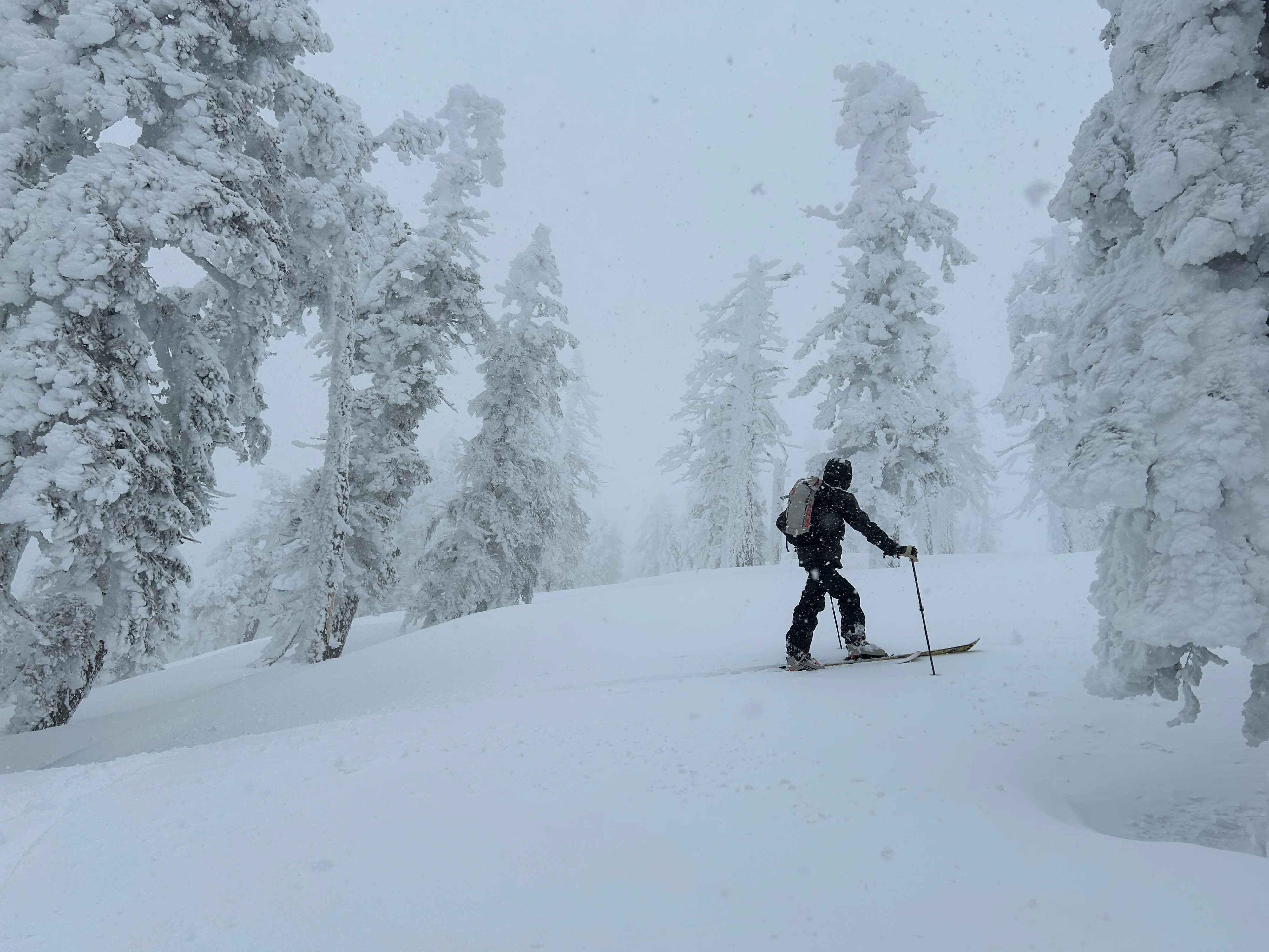
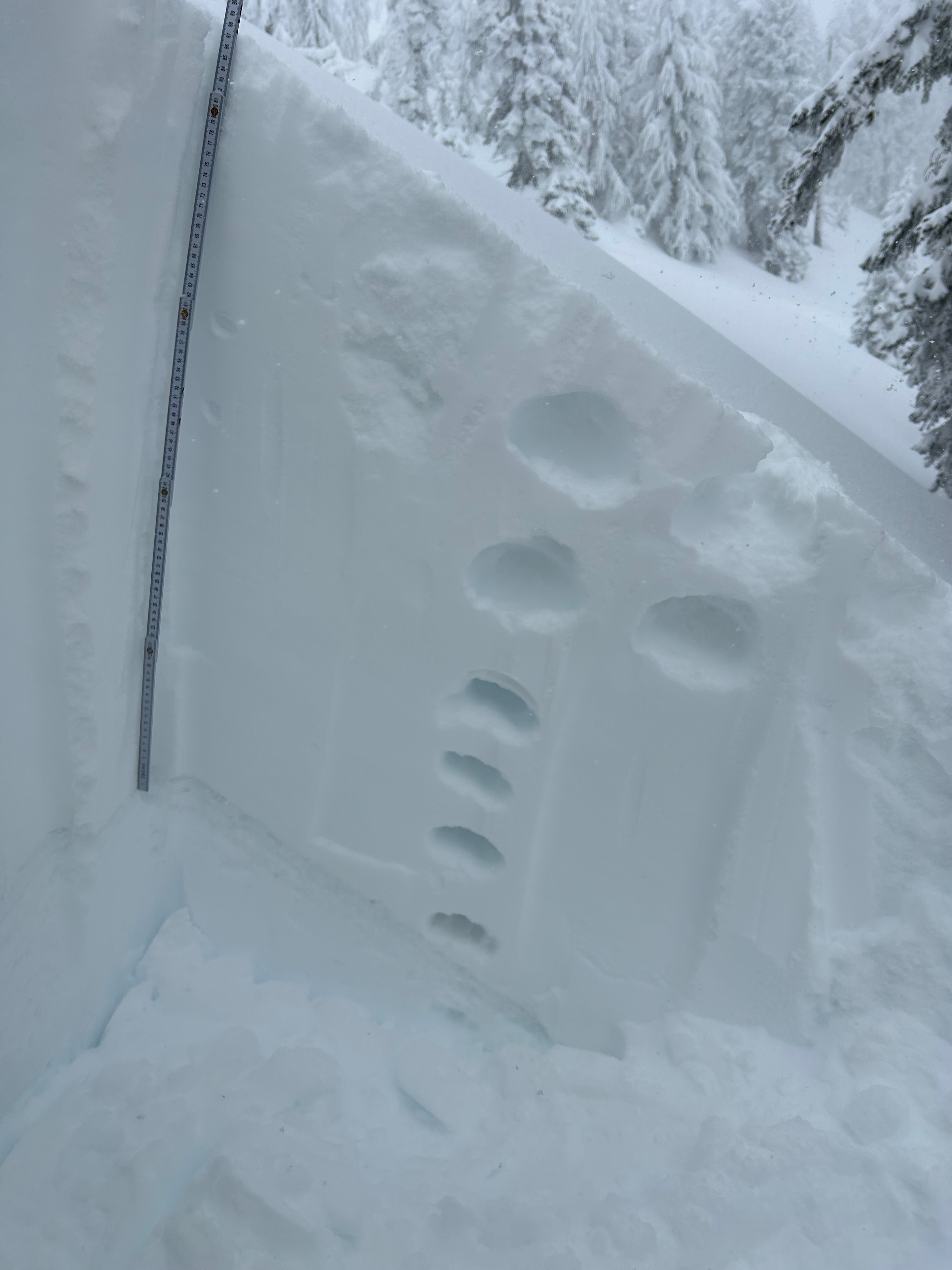
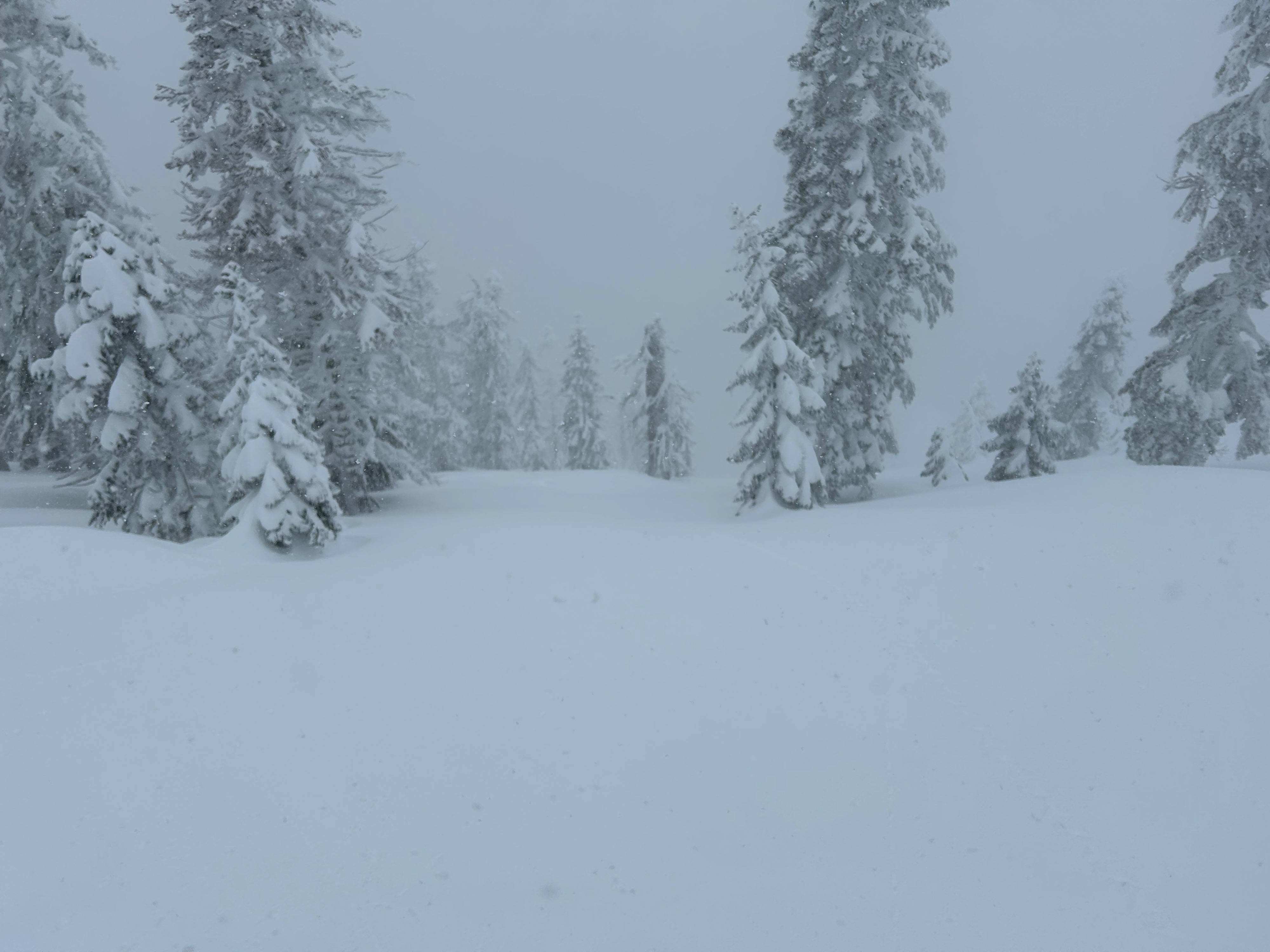
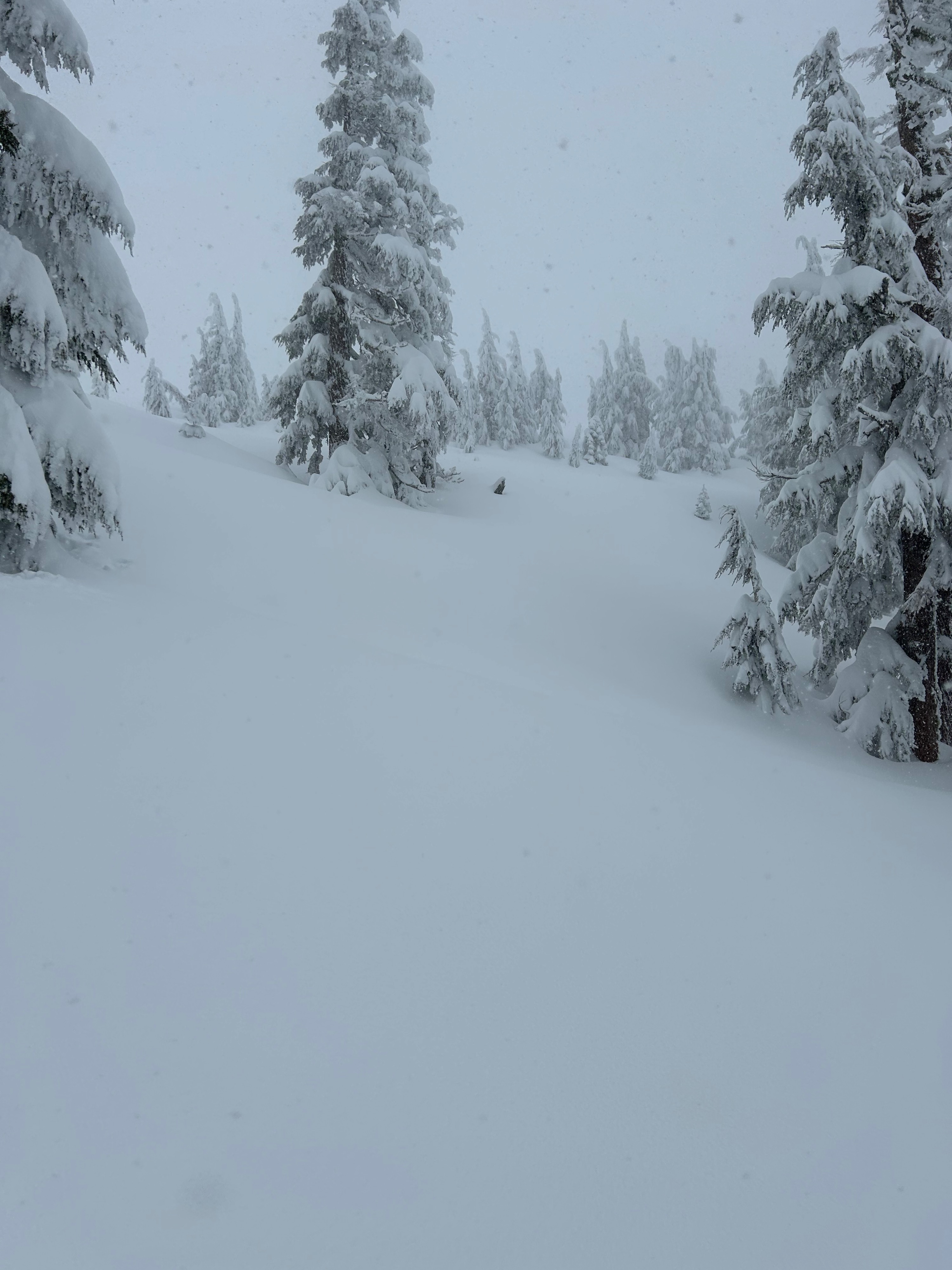
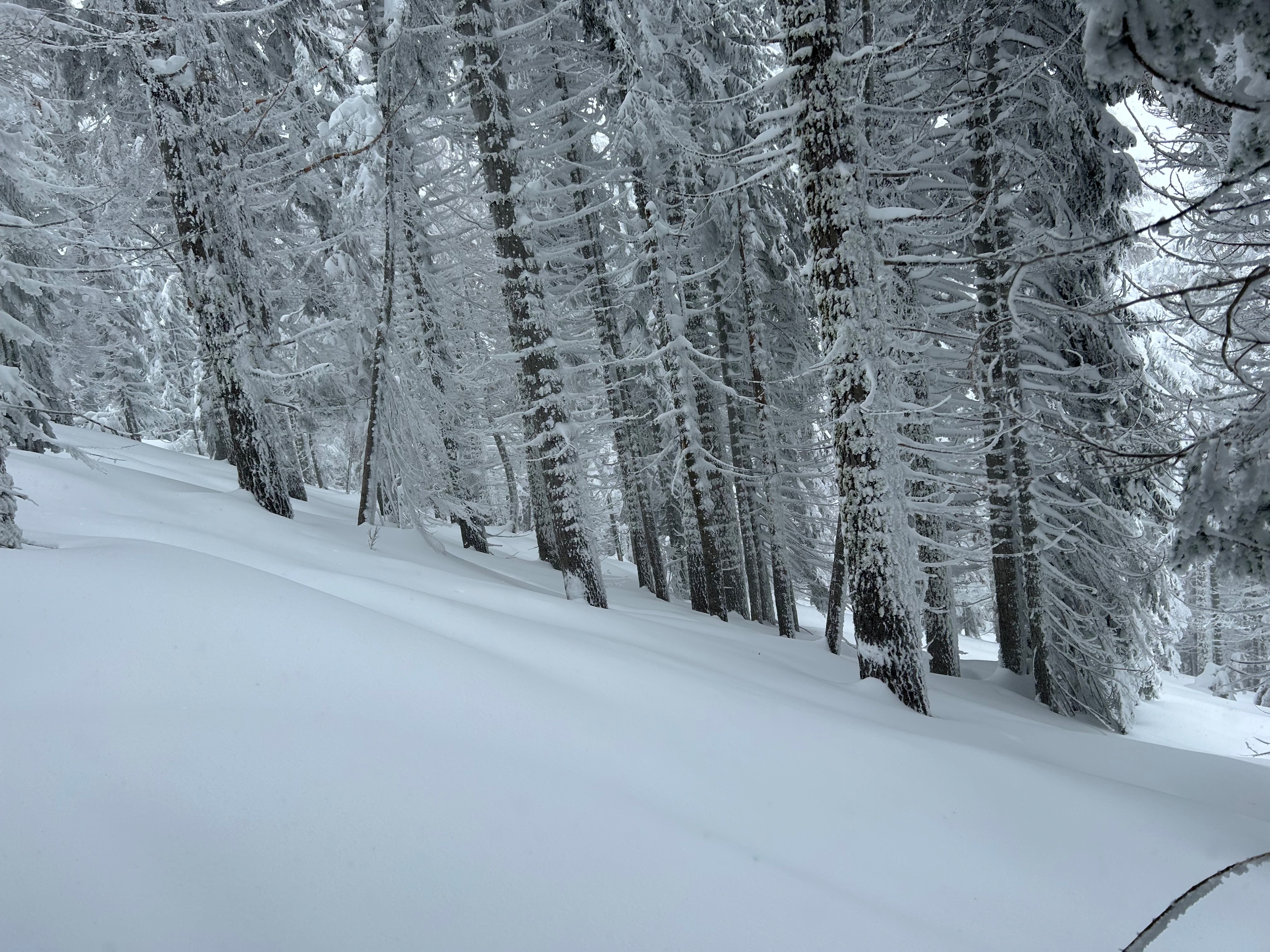
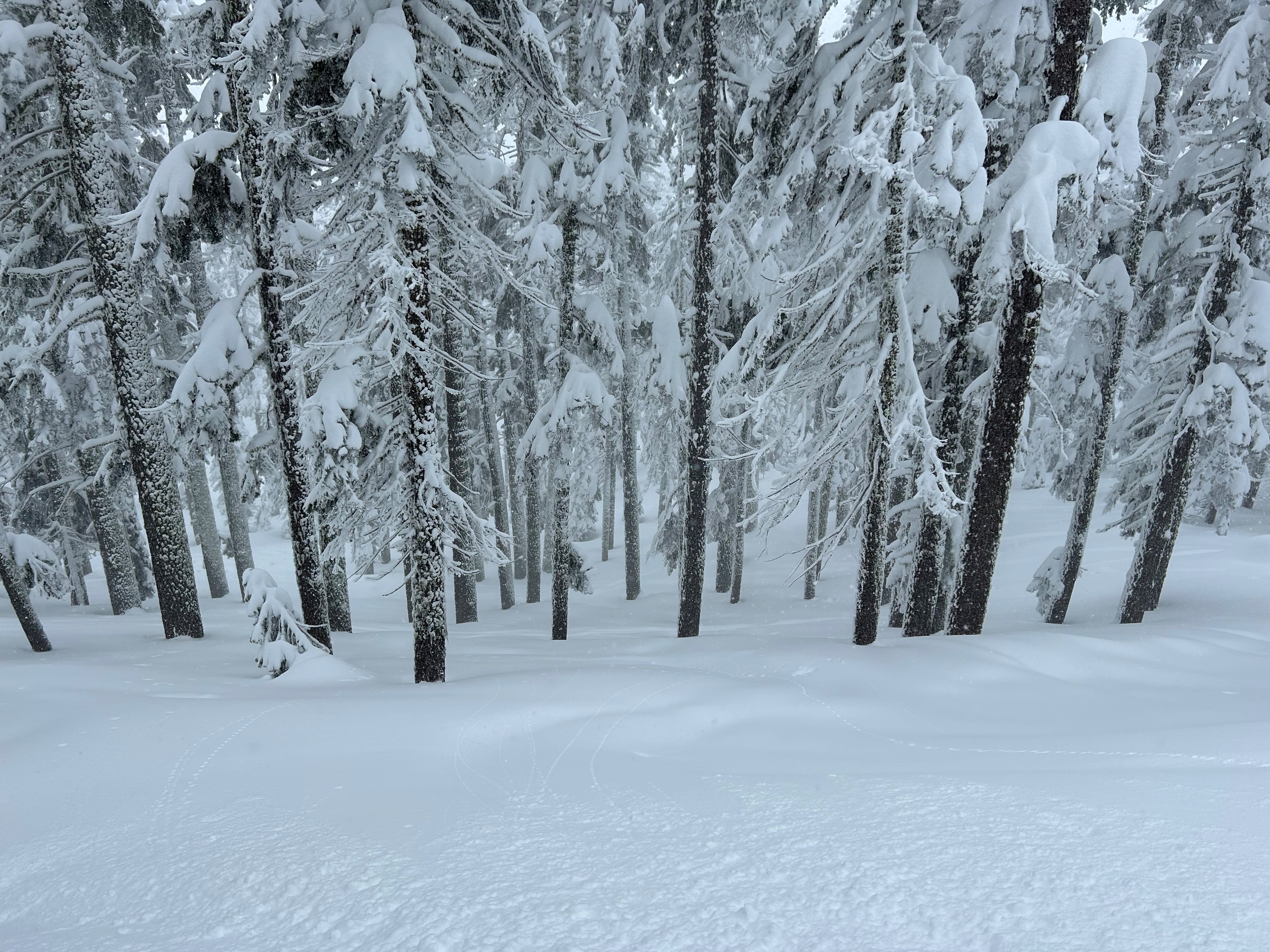
Today, two others and I quested into the storm to assess storm conditions, the bonding of new snow to old, and wind activity. I'm pleased to say that the new snow is bonding well, and it's hard to differentiate where the new snow ends and the old snow begins. Snow surfaces were very supportive for walking and skiing on, and no density changes were discovered. The wind was most present near treeline and drifting snow was observed off ridgelines. Surfaces below treeline remained unscathed from the wind. Surfaces near treeline on exposed (S-SW-W) windward aspects hosted less snow overall, with denser and more textured surfaces. Leeward (E-NE) aspects held large amounts of wind deposited snow, some of which was observed forming into soft wind slabs below ridgelines and cornices. Above treeline was not observed.
No cracking or collapsing was observed or achieved during todays tour.Weather
- Air Temp
- 26
- Cloud Cover
- obscured
- Wind Loading
- moderate
- Rain Elevation
- 4,000
- Recent Snowfall
- 10
- Snow Avail For Transport
- large amounts
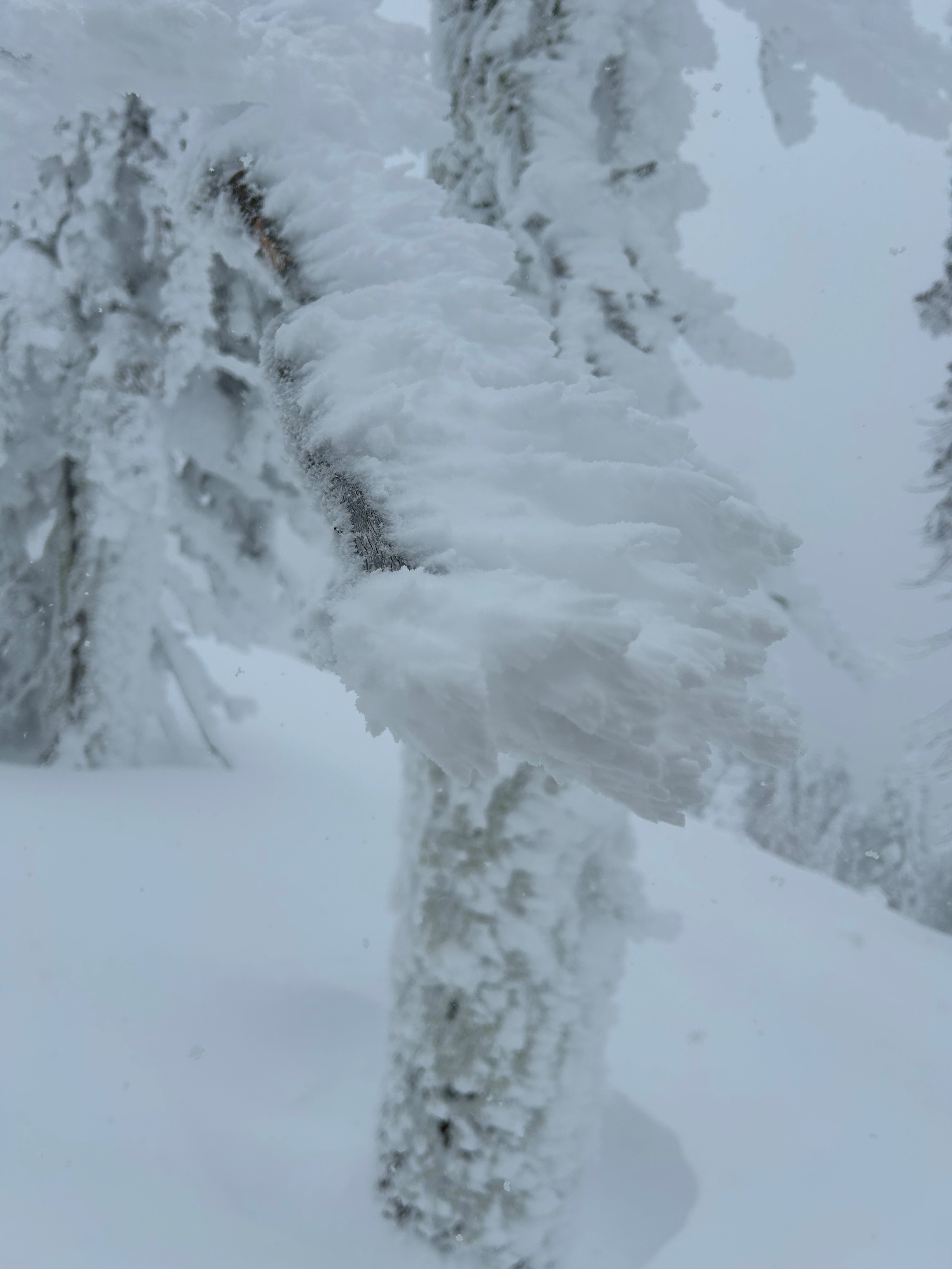
Freezing levels rose to 4,000 feet, with precipitation falling as rain below. Snowfall persisted throughout the day, reaching rates of S2 at times. Winds blew at moderate to strong speeds and skies remained obscured.
Snowpack
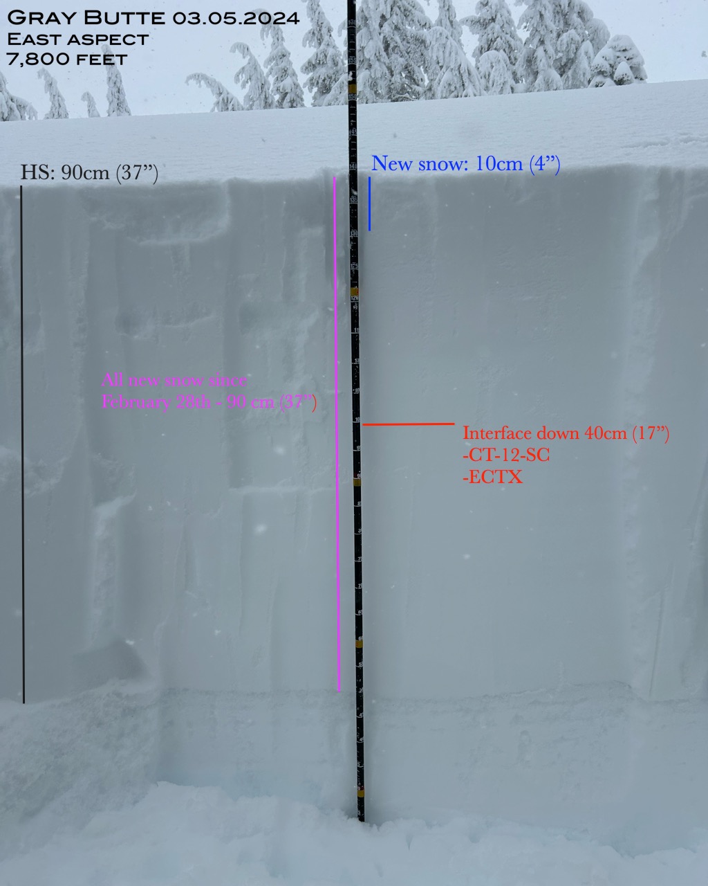
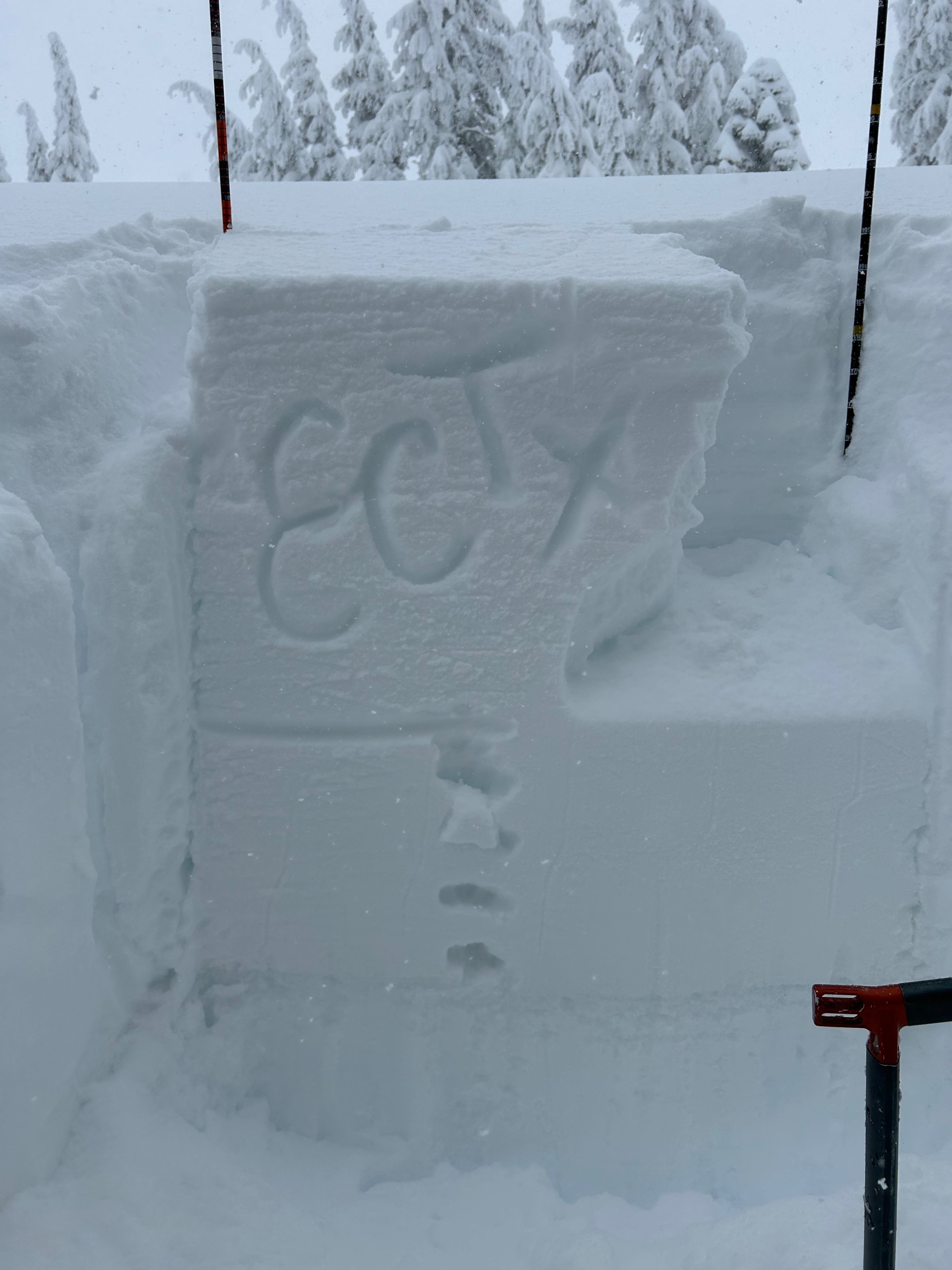
The snowpack is receiving the new snow load well. Other than moderate wind loading onto east aspects in specific locations, no obvious signs of instability were observed. The snowpack displayed a right side structure, with a storm interface 17 inches down. This interface collapsed on moderate force from a CT test, but resulted in no propagation during an ECT test, signifying that it is very suborn to trigger.