
Quick report
- Cracking
- isolated
- Collapsing
- isolated
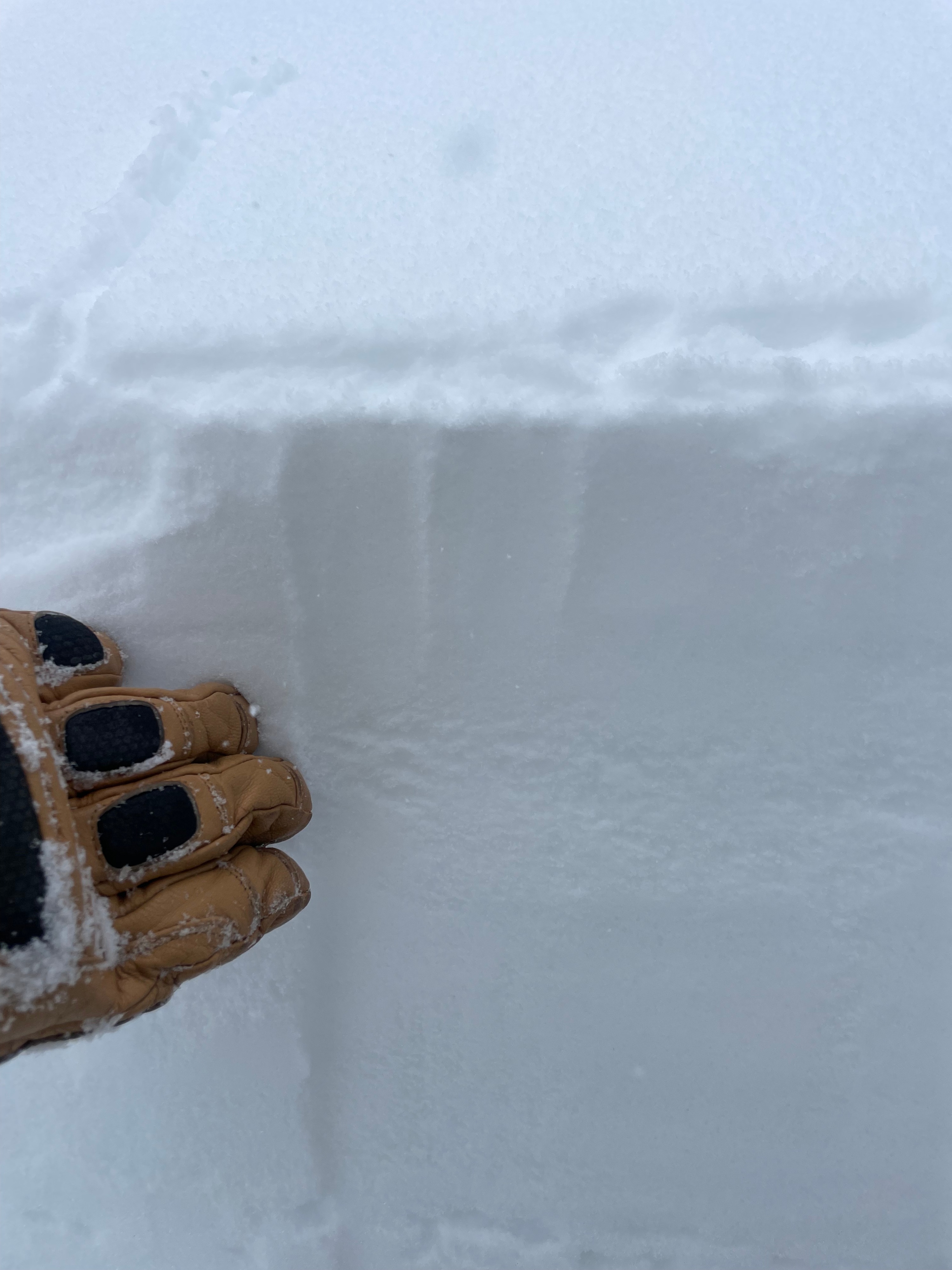
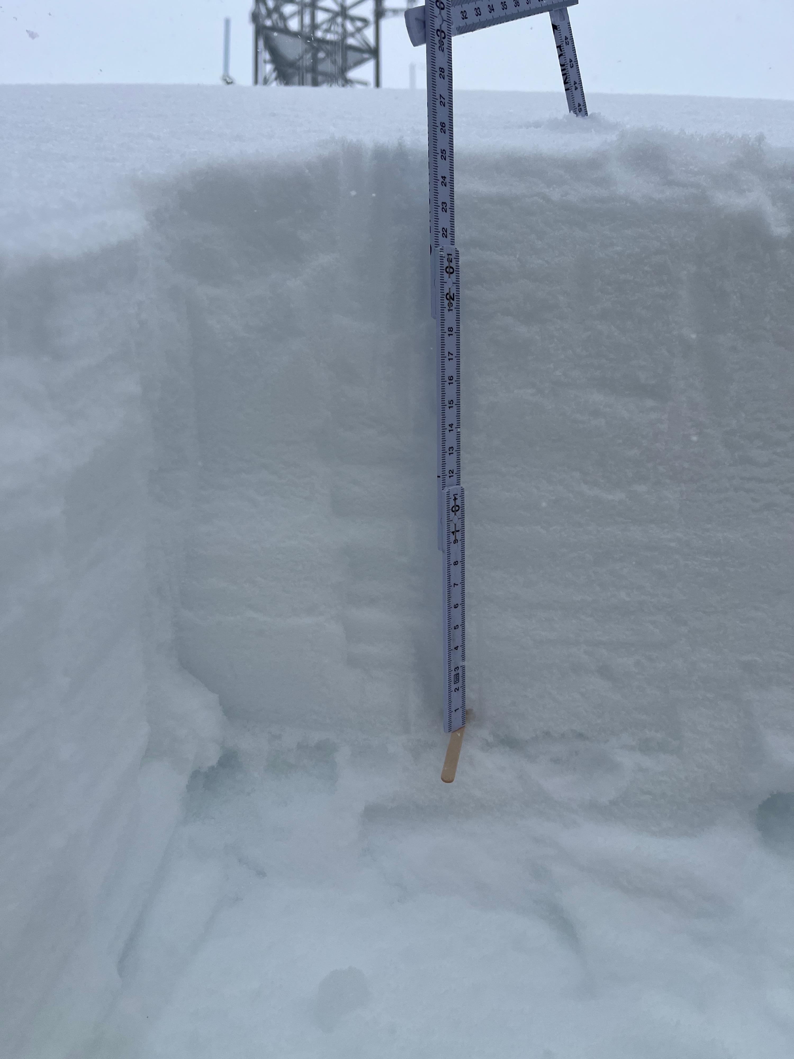
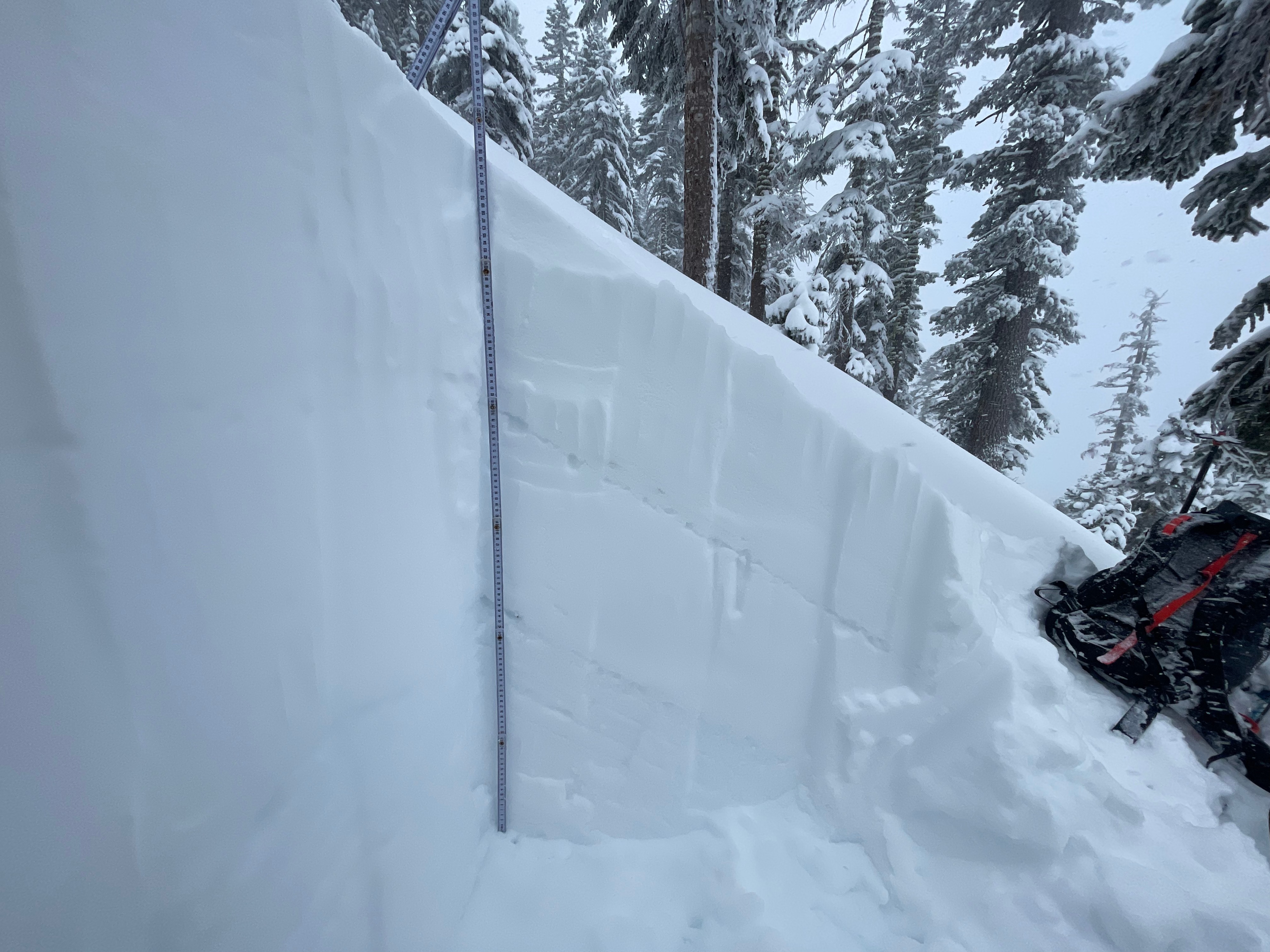
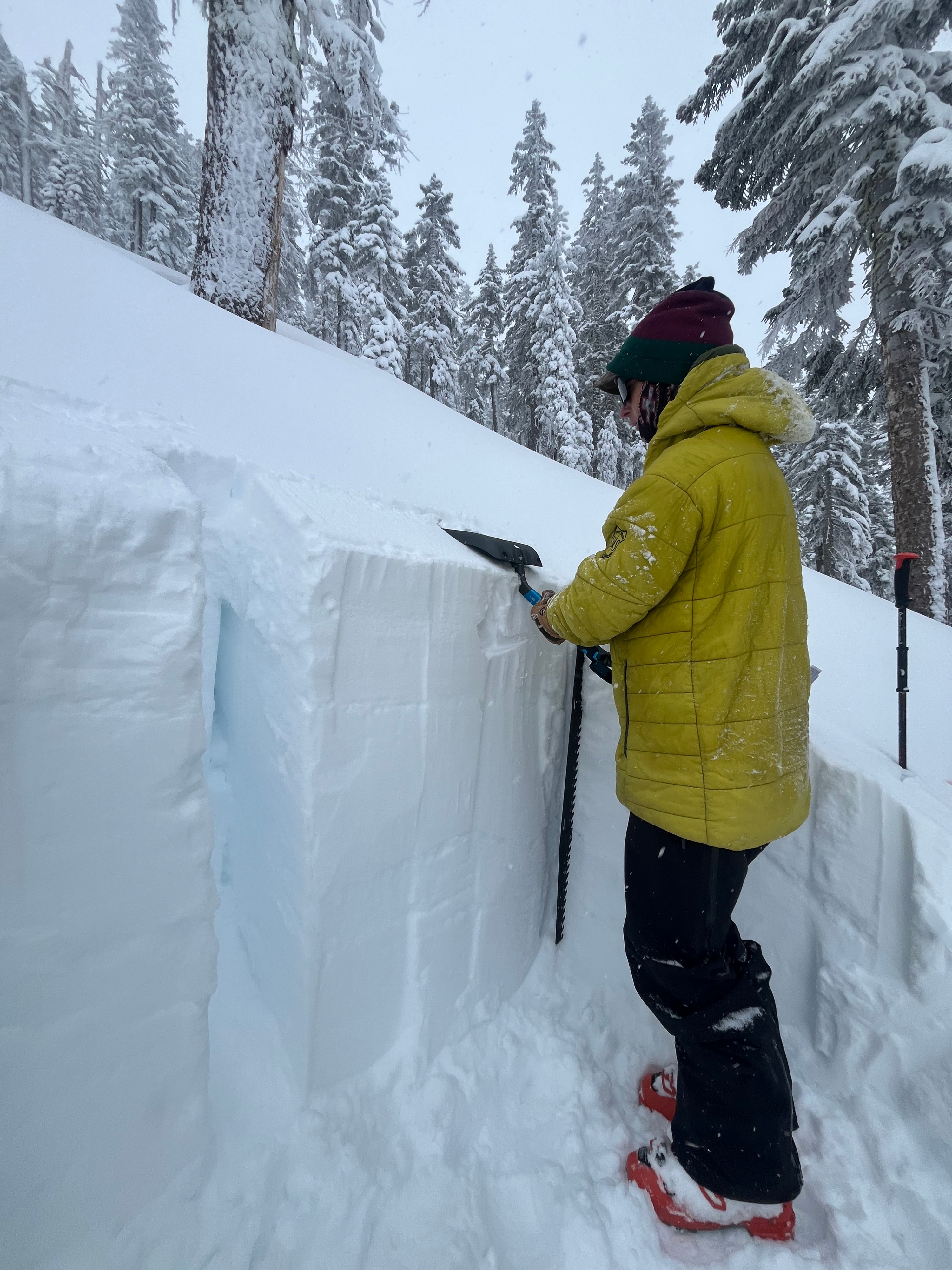
An additional 15+ centimeters of new snow that bears a higher water content has capped yesterday's 10-12 centimeters of dry snow. The total new snow in the past 48 hours is nearing 30 centimeters and is forming into slabs. Tonight, as the snowfall and wind intensify, the likelihood of encountering storm and wind slabs will become even more likely. There is a thin crust at the new/old snow interface that is isolated in distribution but forms an ideal bed surface for avalanches- this will be an interface to keep an eye over the next few days. We measured an HS of 145 cm in a snowpit on a west aspect at 7,500 feet. While performing stability tests, we had no results from an ECT at this aspect and elevation. The biggest takeaway was seeing the weak layer that is yesterday's dry snow preserved beneath today's wetter snow.
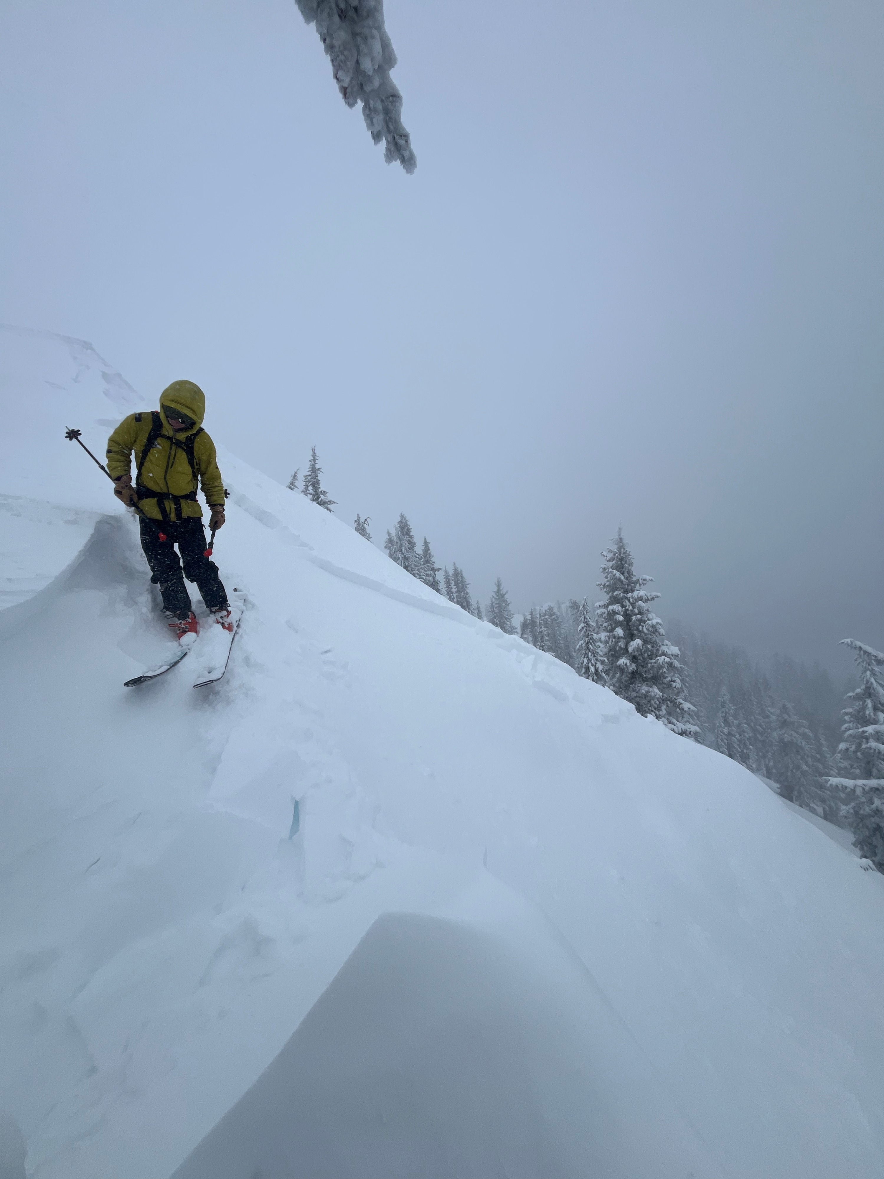
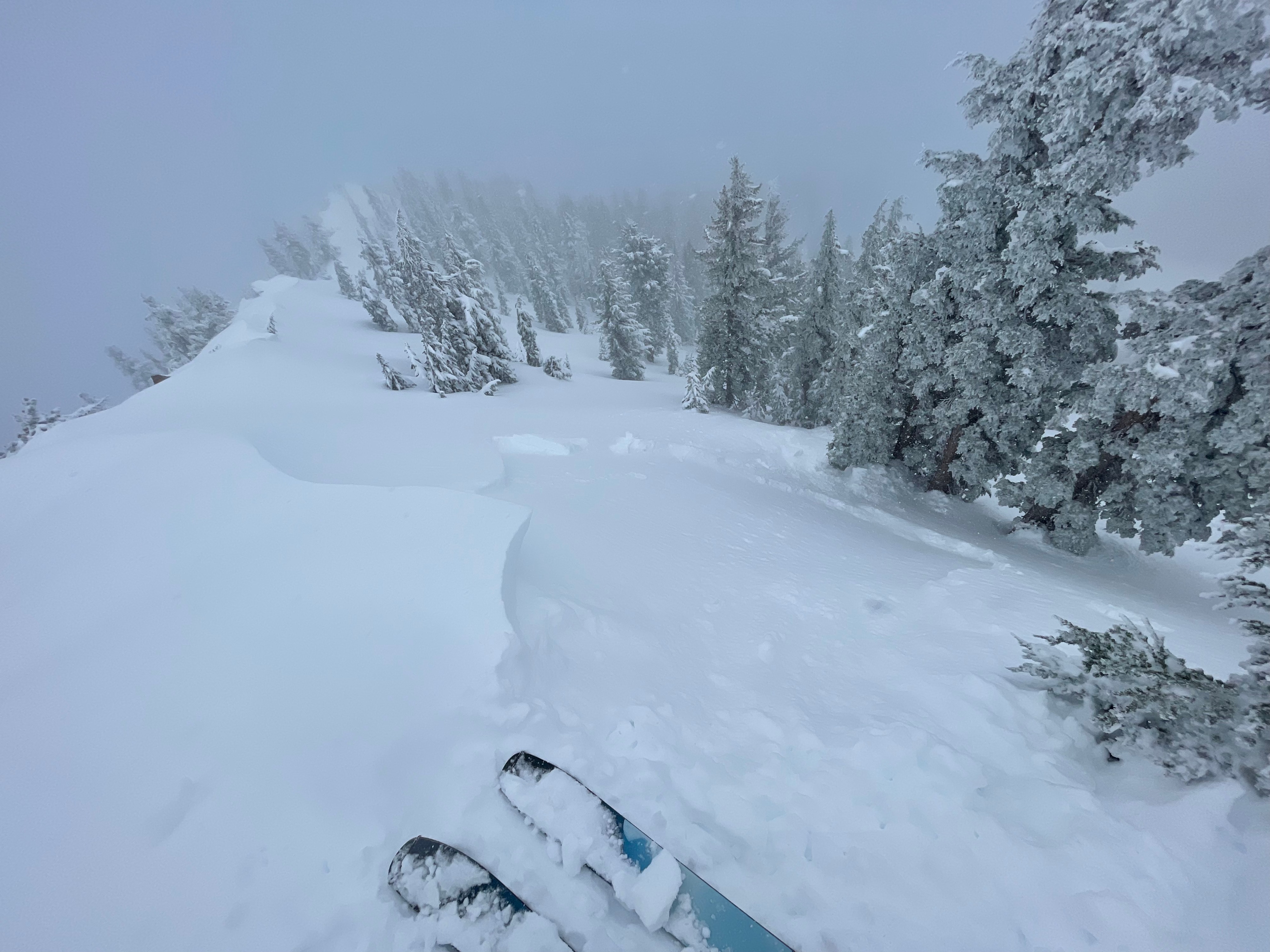
Intentional stomping near ridgelines produced cracks propagating 10 to 20 feet. Travel through low angle meadows in the tree produced two isolated collapses.Weather
- Air Temp
- 25
- Cloud Cover
- obscured
- Wind Loading
- moderate
- Rain Elevation
- 3,000
- Recent Snowfall
- 30 (past 48 hours)
- Snow Avail For Transport
- moderate amounts
At 10:00 AM it was raining in town and then quickly changed to snow near 4,000 feet. Temperatures held steady in the mid 20s the rest of the day. Southwest wind was light, though frequently gusting strong up to 30 mph. Snow was accumulating at the rate of about 1-2 cm an hour (S1 to S2). Upon return to town at 1:00 PM, rain had changed to snow, with the rain/snow line now sitting near 3,000 feet.
Snowpack
An additional 15+ centimeters of new snow that bears a higher water content has capped yesterday's 10-12 centimeters of dry snow.
Avalanche
Using test slopes, we triggered two small (D1) avalanches on east, northeast aspects near 8,000 feet. Each slid on the new/old snow interface at 12 inches in depth and was about15 to 30 feet wide, running down slope for 50 to 150 feet.