
Quick report
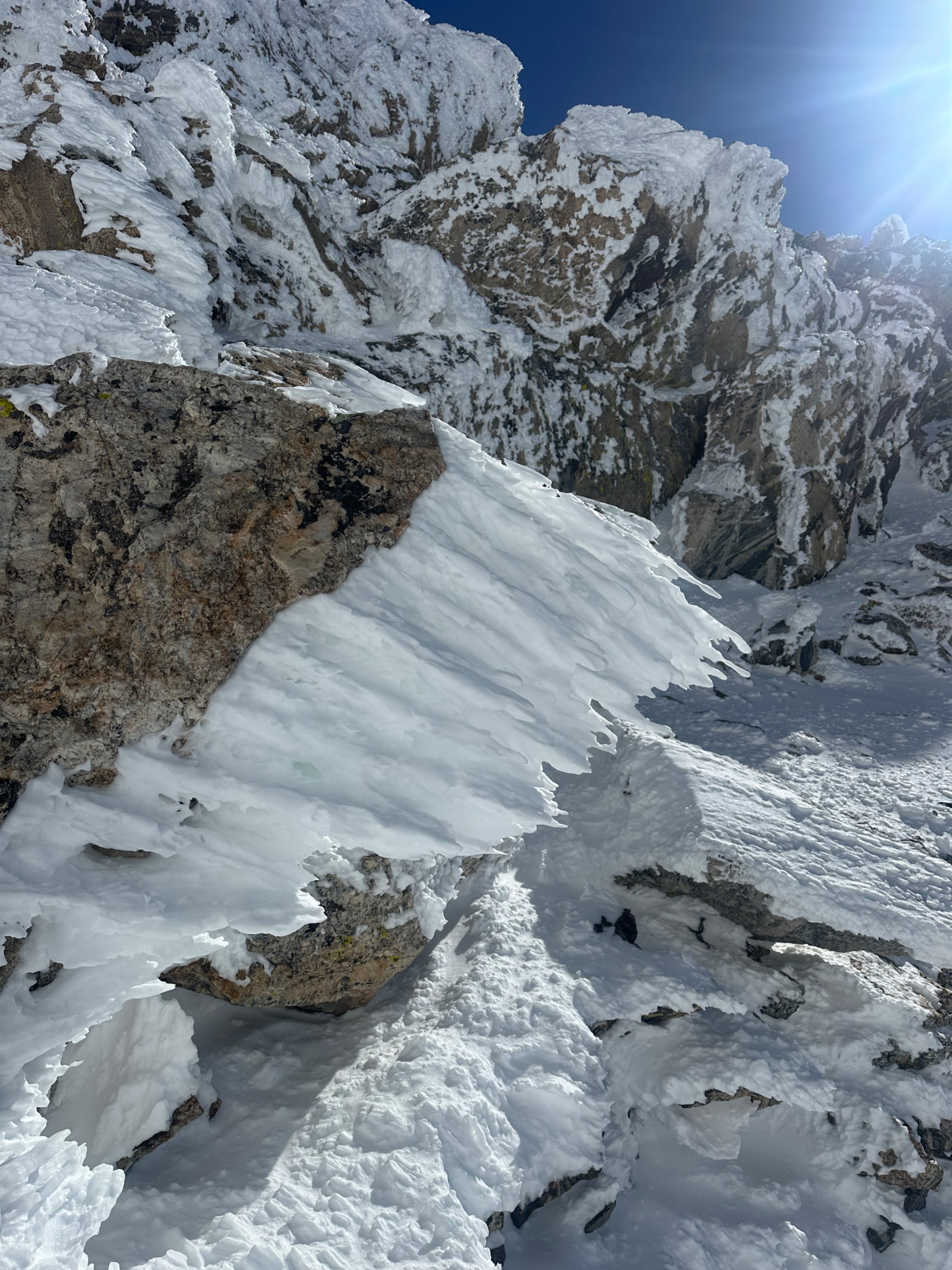
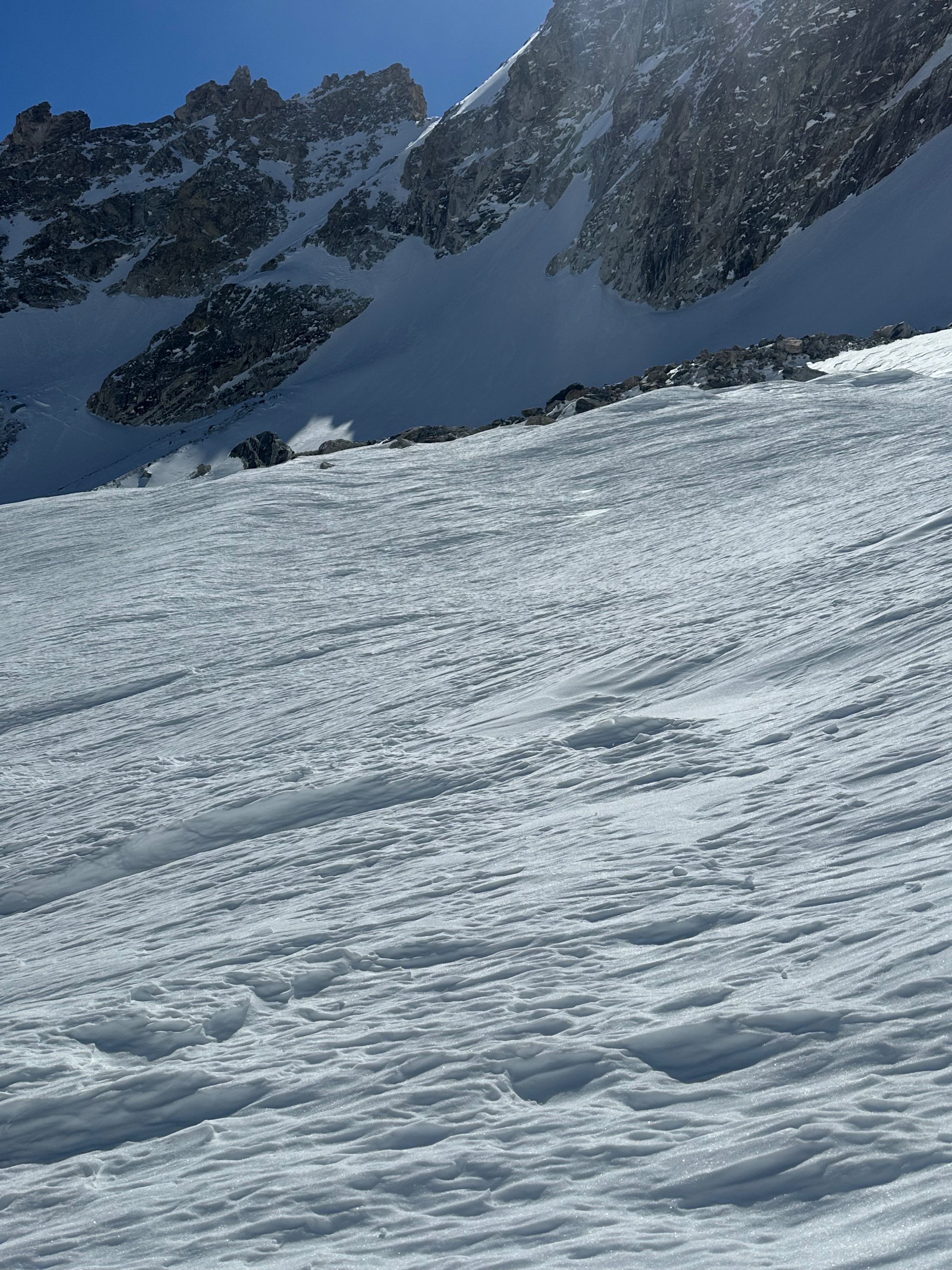
We climbed up the South Fork of Garnet Canyon, finding variable snow conditions across a variety of aspects ('tis the spring transition season). We found generally firm skiing conditions above 10,000 feet on most aspects. Below 9,000 feet, N aspects still harbored dry powder. If entering the alpine, be prepared for highly variable, firm snow conditions and carry all the sharps.
Transitioning from a dry to wet snowpack can be a tricky time of year; many other factors are at play apart from ambient air temperature. These things include the presence or absence of wind, clear overnight sky cover, and the type of cloud cover that can roll in (low cloud can shield from sun, keeping things colder, scattered mid to high cloud cover can cause back-radiation and intense heating or "greenhousing," and thick cloud cover can make for wetter snow conditions and lack of overnight refreeze, even if air temperature drops below freezing). Each day, the sun also creeps higher in the sky. We've yet to start shedding a major portion of the top of the snowpack, though low to mid elevations will start this shed cycle first. Only the top 10-20 cm (4-7 inches) appear to be wetting with solar input over the last several days, and though winds remain light, a little extra wind chill is helping cool the snow surface. Deeper layers of snow remain dry. That said, wet snow movement and cornices pose a threat for triggering larger, dry snow avalanches still. Sunny areas around rock outcrops will also destabilize faster.
When things stop refreezing or more intense temperature swings are seen, expect larger avalanches and widespread activity.
Noted one recent large wind slab/soft slab avalanche on a SE aspect on the Banana, appeared to be cornice/wet-loose triggered.Weather
- Cloud Cover
- clear
- Wind Loading
- previous
- Snow Avail For Transport
- none