
Quick report
- Collapsing
- specific
This is the deepest snowpack in the forecast zone this season. Unfortunately, conditions are is still made problematic by the Holiday Ice Lense and warmer storm cycles this winter--meaning that snowdepths at 10K and lower are quite thin, and that there's a constant threat of being smacked to the ground by the exposed sections of the ice layer, or where it is covered by a mere inch or two of snow.
Today's tour objective was to go farther afield and examine north facing slopes for general surface conditions and the presence and reactivity of potential PWLs in the snowpack.
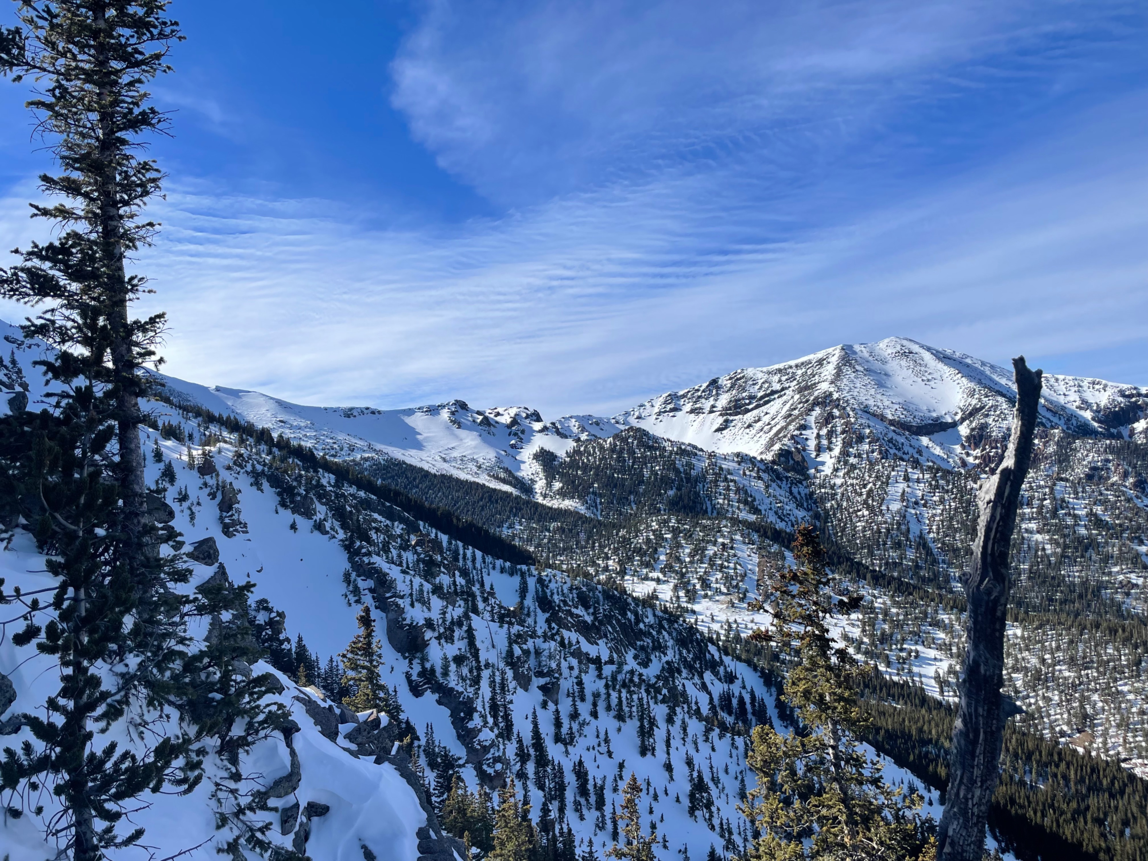
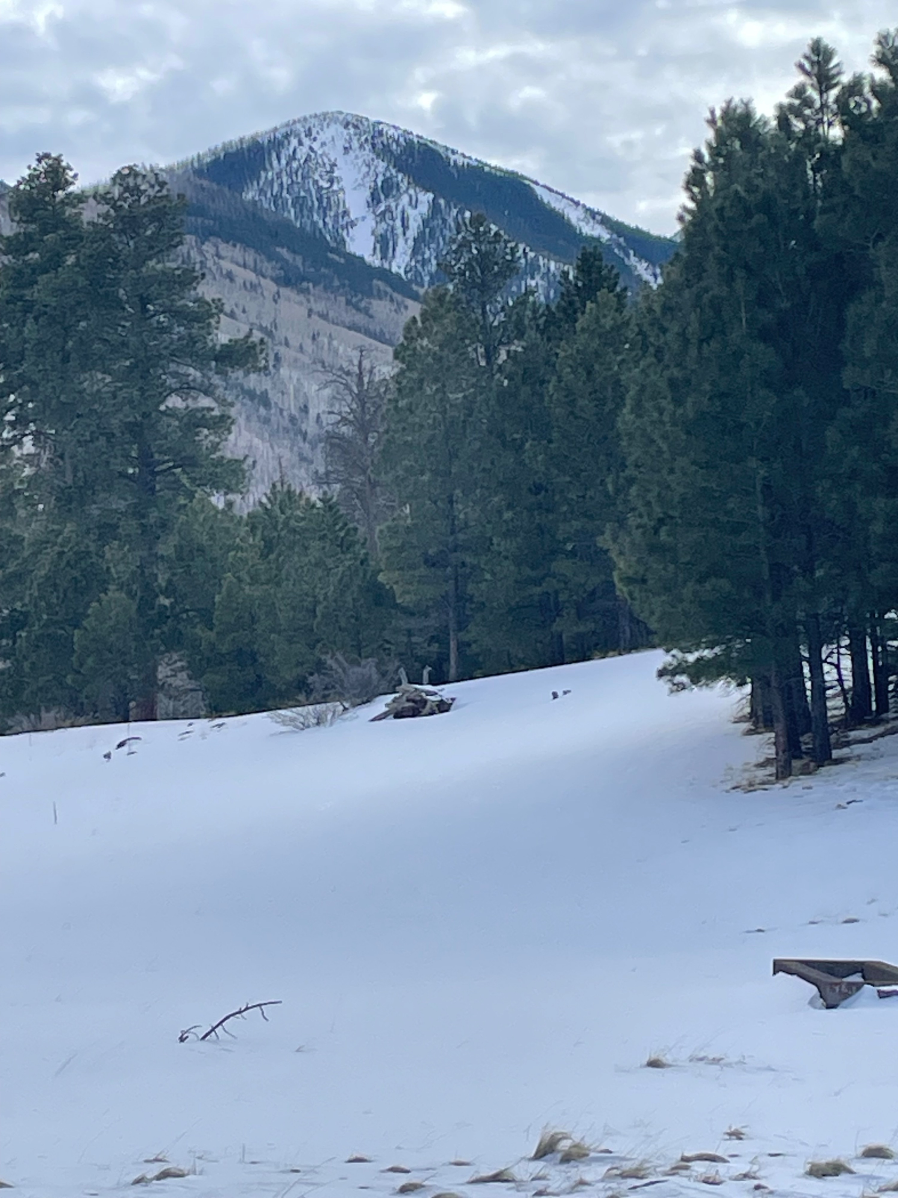
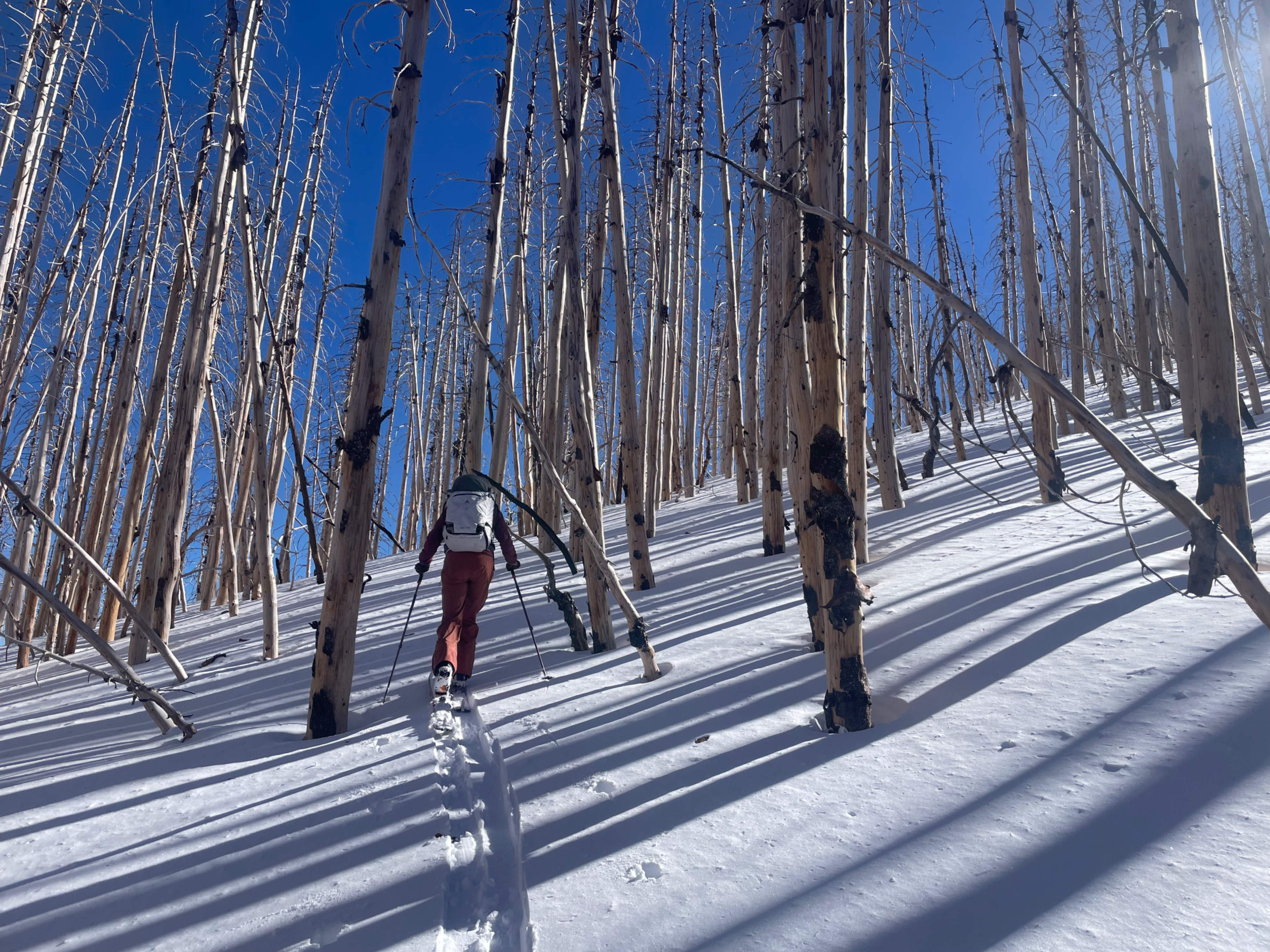
The tour today covered some ground and the mountain looked beautiful--still dressed in it's snow and rime covered glory. Surface conditions ranged from shallow powder, to wind effected soft snow, to melt-freeze crust, to warm wet heavy snow, to early NSF diurnal faceting. New snow was found both rightside up and upside down. Buried persistent weak layers were found on east facing and north facing slopes in spatially variable zones resting above the HIL. Snowdepths varied from 200 cms in wind catchment zones to 120 cms in loaded zones to 80 cms in undisturbed zones. The ice lens was present just below the new snow surface to 60 cms below the surface. The ice lens remains somewhat camoflauged in some areas, and is diffucult to discern when making turns.
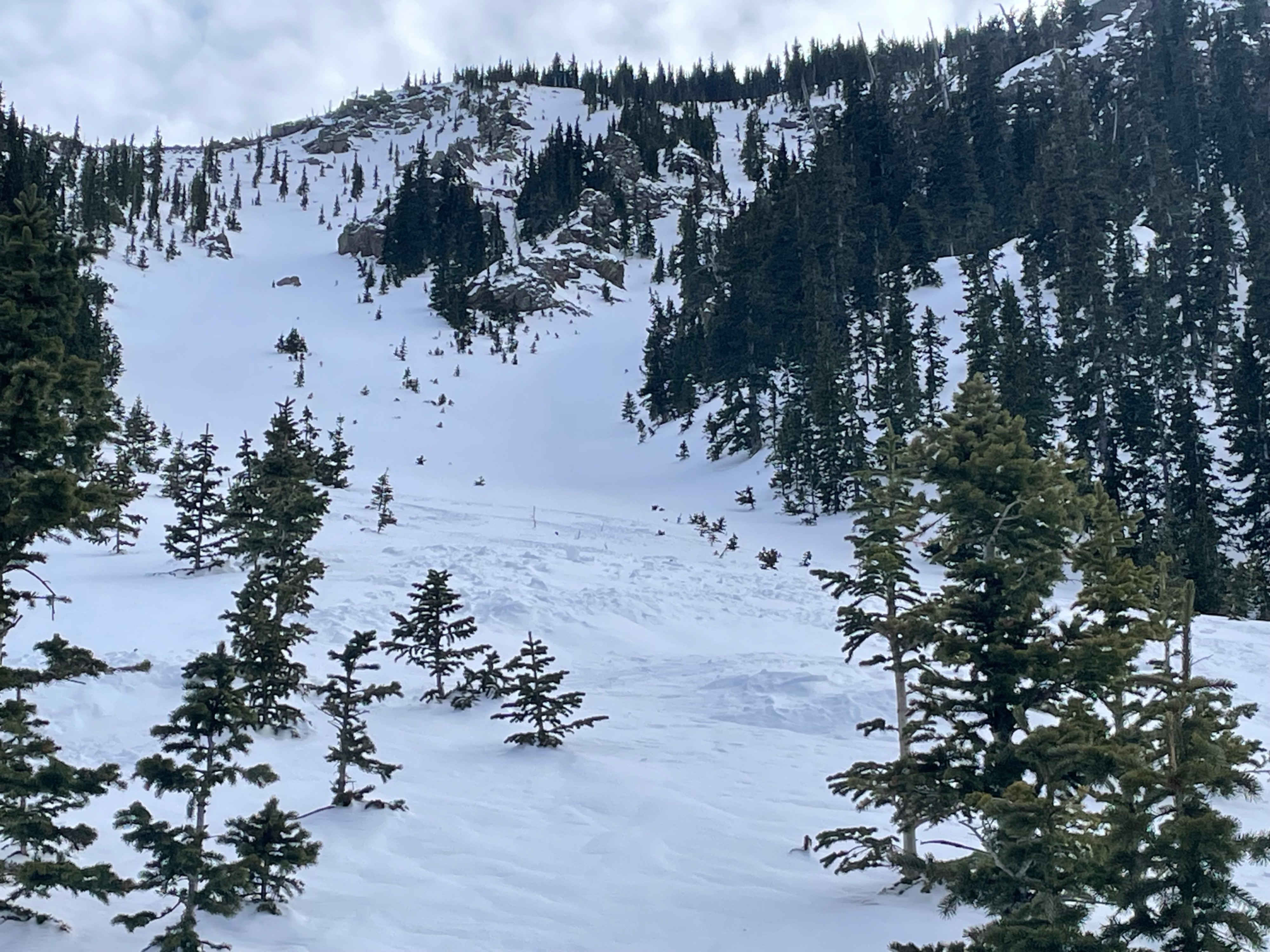
Wind slab was generally unreactive today depsite the increased warming. No new avalanches were observed, but there were numerous debris piles on most east and north facing avalanche paths from the February 17-19th avalanche cycle. Most of these seemed to be wind slab avalanches with small crowns, but many were D2 in size and ran well into the typical run out zones of existing avalanche paths. No wet loose avalanches were observed, but roller balls and wet snow was present on sun exposed aspects.
In case you missed it, we did experience widespread collapsing in specific terrain on east and north facing slopes. This included one sonic boom style collapse nearly a football field in size on a west facing sparly treed slope at approximately 11,000 ft.
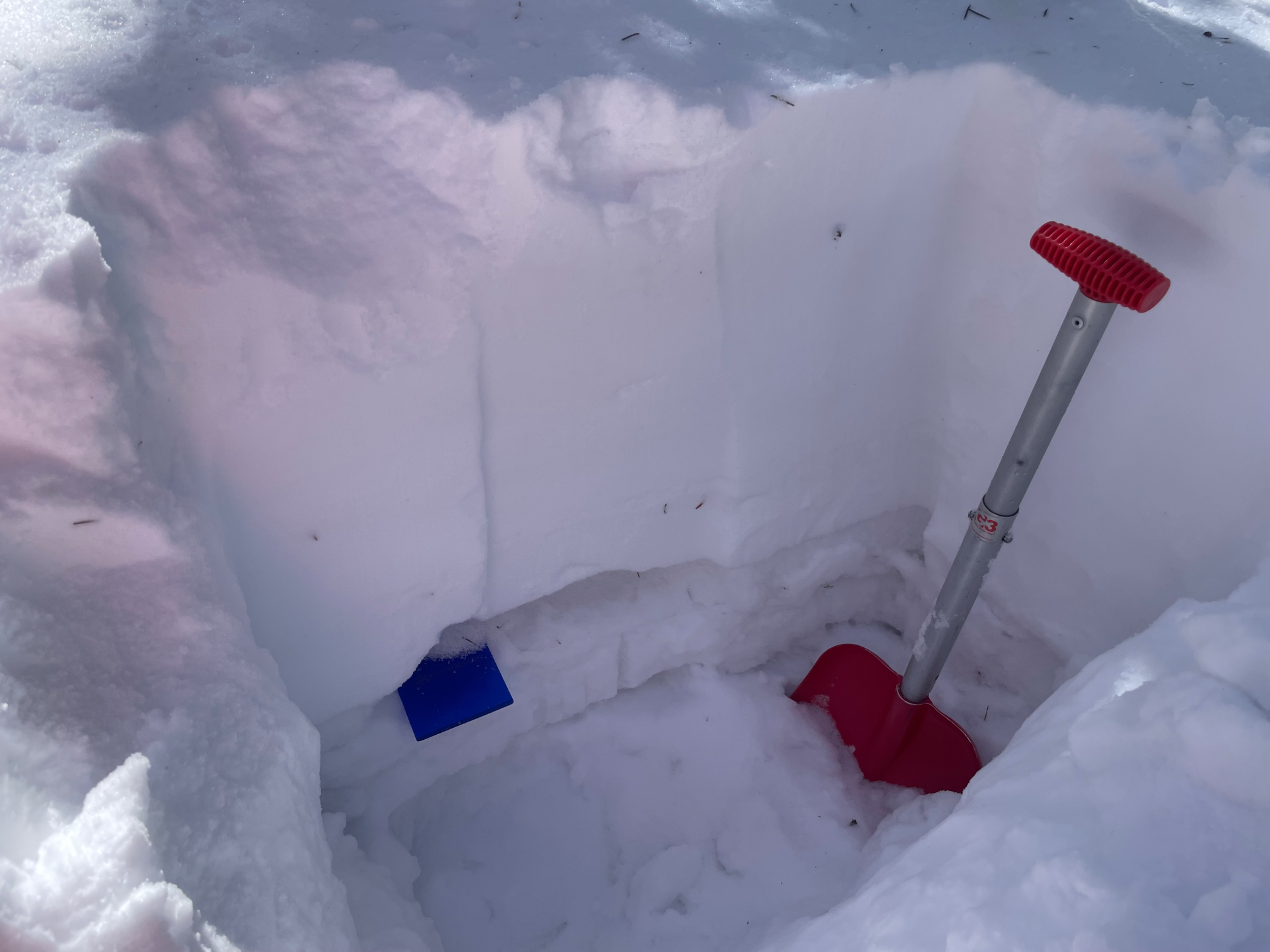
We dug two pits to examine structure and search for PWLs. On a north facing slope at 11K we found 2-5 cms of buried near surface facets from the 1/9 storm. On another N. facing slopes at 11,700 we found the same 1/9 PWL abovethe ice lens and performed two ECTS. Results were ECTP 29 on the PWL from 1/9, and ECTX. Additional loading from a future storm could activiate this layer and cause a large avalanche with a crown depth of averaging over two feet.
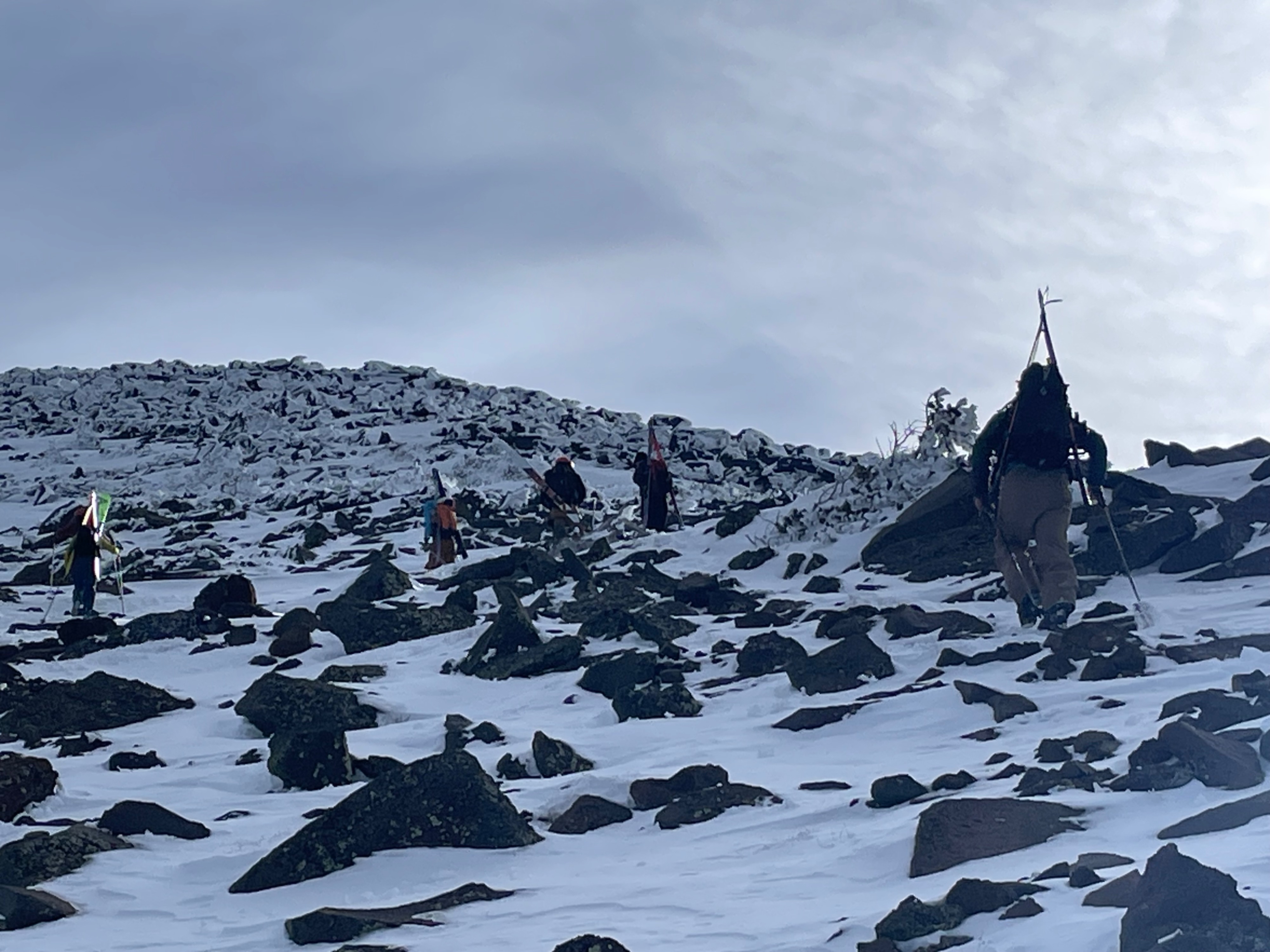
We did put on ski crampons at one location at 11K in order to cross an open slope where the ice layer was exposed.
It's difficult to estimate how long the good skiing conditions available today will last. Access and regress will only become more challenging the longer the current dry period lasts. Southerly exposed slopes were already developing melt/freeze crusts.
Some rocks were uncovered in what looked to be well covered slopes. Typical open backcountry snow totals are just barely surpassed on the standard survey stakes.
Amazing turns were had today. If only, these conditions would persist into normal mid-April time frame.
One note on instability. We did experience a near sonic boom collapse below treeline in the lower IB path. It roughly covered an area the size of a football field, and was very audible. This collapse likely occured on a combination of upside down snowpack from variable light to strong wind loading during the Feb. 16-20th storm cycle, in comnbination with buried NSFs from the January 9th storm.
Weather
- Air Temp
- 38
- Cloud Cover
- few
- Wind Loading
- light
- Snow Avail For Transport
- none
Generally clear skies, calm winds and moderate temperatues. A pleasent day.
Snowpack
Abnormality alert. Snowpack observation: The extent of the recycled snow, NSF, January 9th layer is difficult to map. Based on today's observation this layer may be more spatially widespread on upper elevation (NTL and ATL) elevations than previously understood. It may be present in pockets, but even if distribution is isolated it could easily result in a fast moving, unpredictable D2-D2.5 avalanche. This scenerio represents the classic low probabilty high consequences scenario.
Avalanche
- Size
- D2.5
- Count
- 2
- Aspect
- N
- Trigger
- N
- Elevation
- 11500 ft
We observed avalanche debris in IB path, Telemark and Jays path from the February 17-19 Avalanche Cycle. These were likely all wind slab avalanches and generally D2 in size. The debris piles in Telemark and Silverton were quite large given the amount of wind erosion between our observation and their intiation.