
Quick report
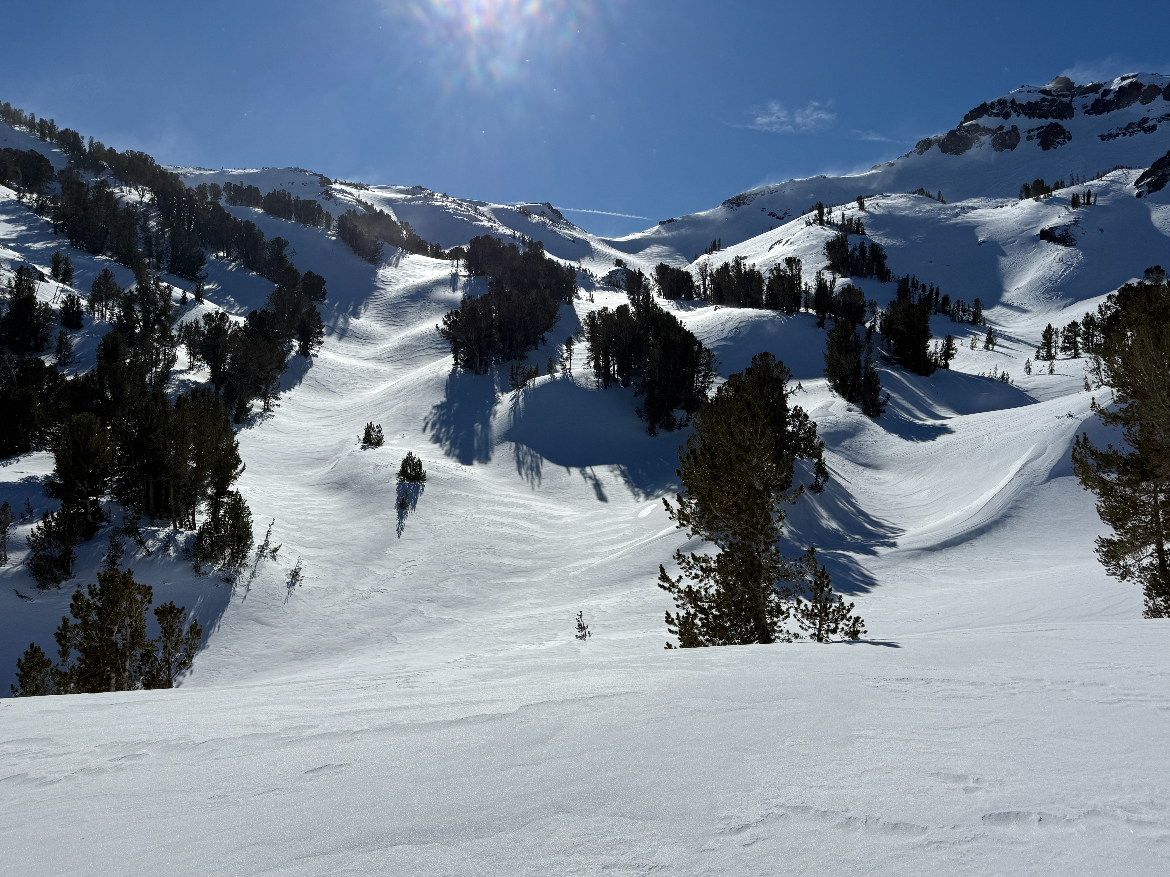
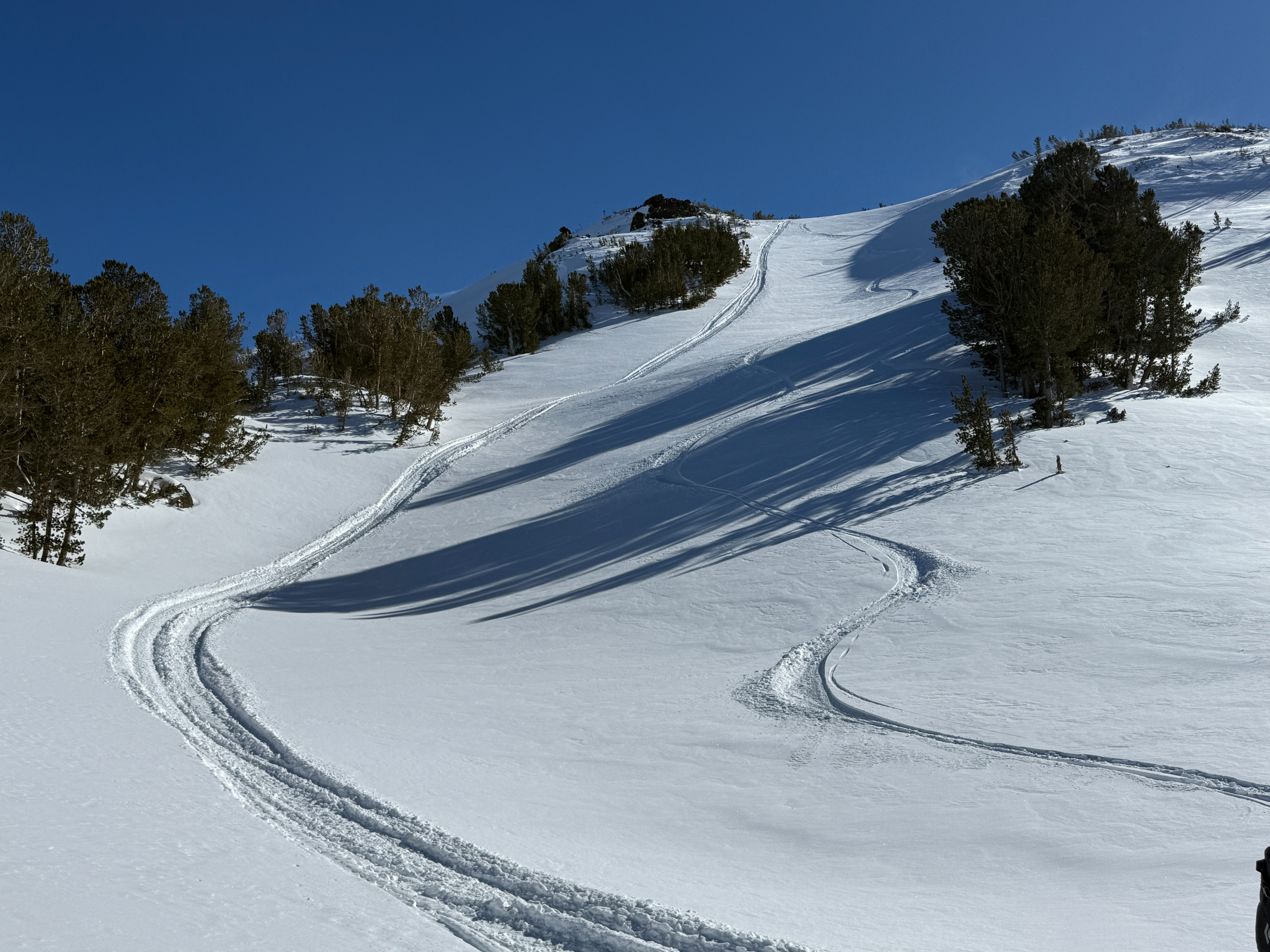
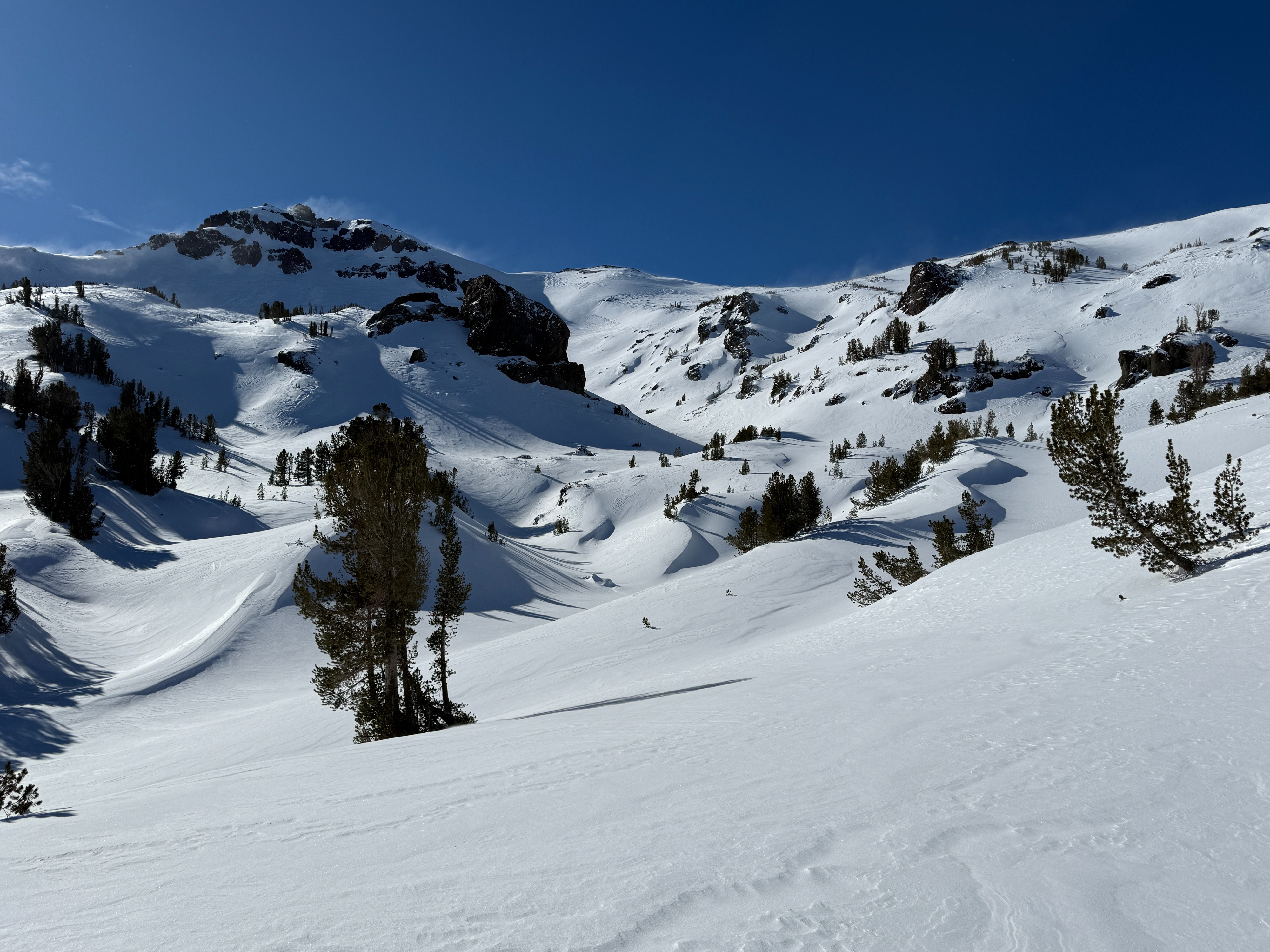
The NE wind that started blowing on the afternoon of January 8th continued throughout the night and into the morning of the 9th. The low-density cold snow that fell on the morning of the 8th redistributed into deep drifts in sheltered locations in treeline terrain below Sonora Pass. In more exposed locations in and above treeline, the snow blew away completely or formed a hard wind slab.
The morning of the 9th started cold and clear with a low of -6 F at the Marine Base at the bottom of 108 near the trailhead. A temperature inversion was present that morning, with lows in the single digits and teens up around Sonora Pass. The day did warm up into the 20’s, and the NE wind backed off by the end of the day.
Driving up to the trailhead, blowing snow was observed in the Alpine. The strong wind overnight, coupled with the low-density snow, created deep drifts and catchments in sheltered treed terrain with a density of mostly fist and 4-finger hardness.
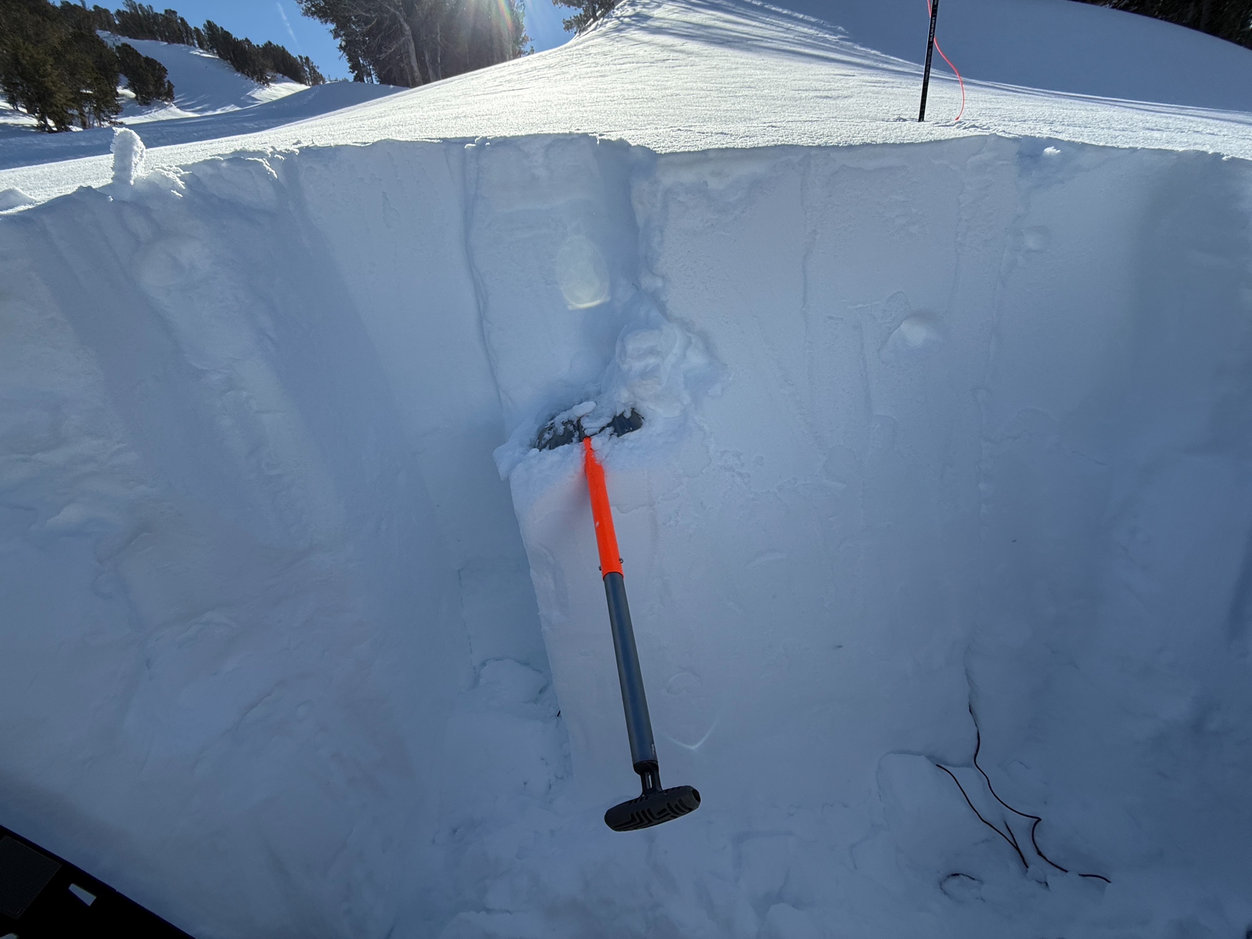
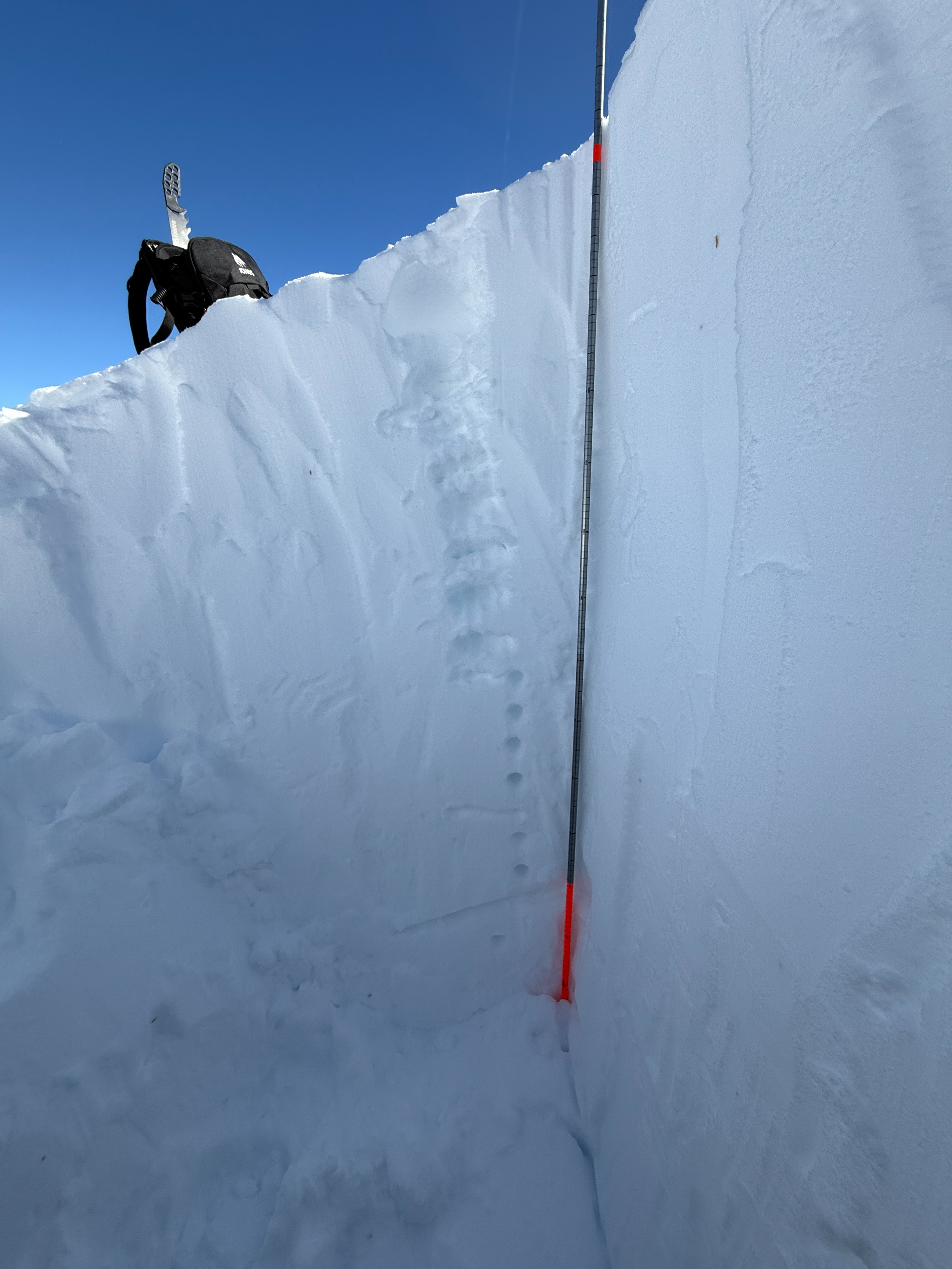
I dug pits in 2 different locations around Sonora Pass, looking to see how the new snow was interacting with the older crust now buried 3 + deep in sheltered locations. ECTs did not produce propogation in these locations.
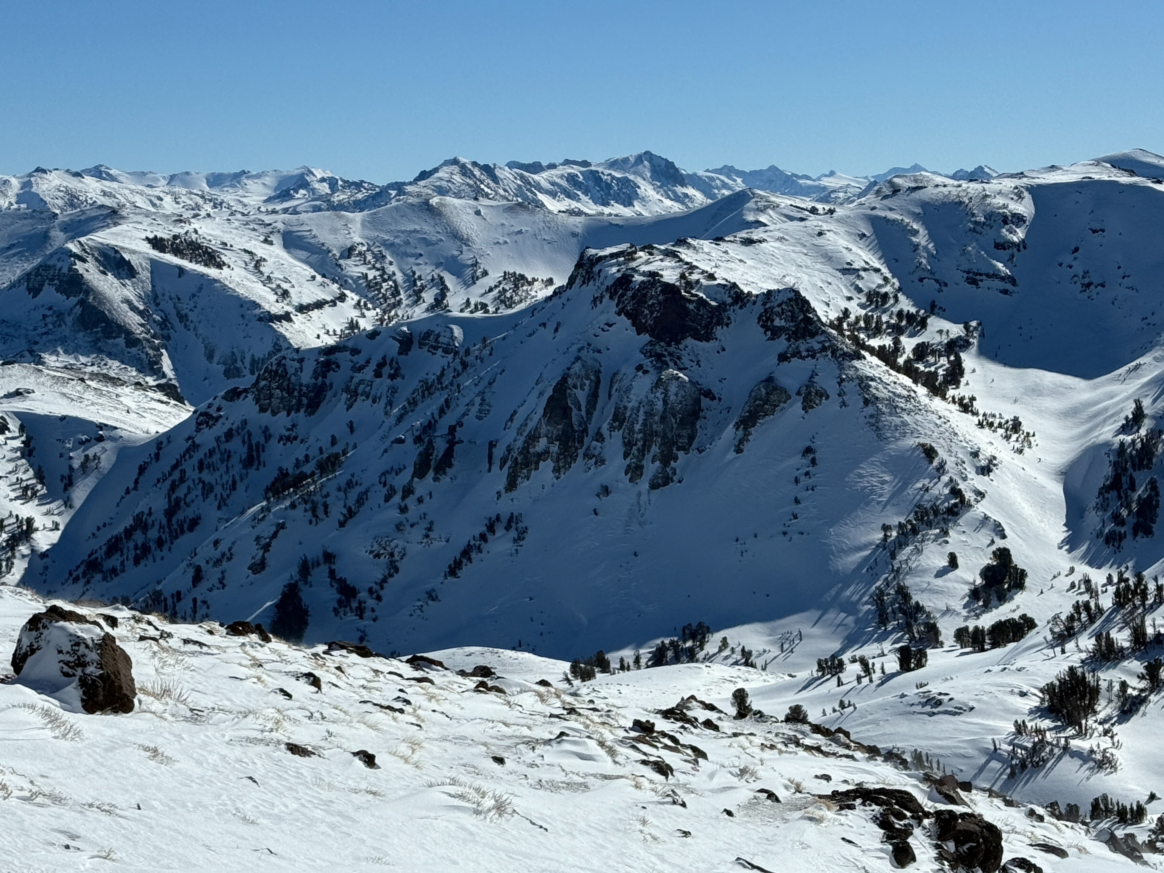
Track tests also did not produce results on sheltered drifts in the pass area. Some uncertainty remains about how the crust is bonding to the new snow in more complex and rocky terrain in and around the treeline. Evidence of wind-stripped surfaces in the alpine indicated that most of the snow had completely blown away or into a hard sustrugi-like wind board.
snowpack tests did not produce results on a crust buried 1-3 feet below the surface.
Weather
- Air Temp
- -0 to in the 20's
- Cloud Cover
- few
- Wind Loading
- moderate
- Rain Elevation
- below valley floors
- Snow Avail For Transport
- moderate amounts
cold, clear, and windy in the Alpine.