
Quick report
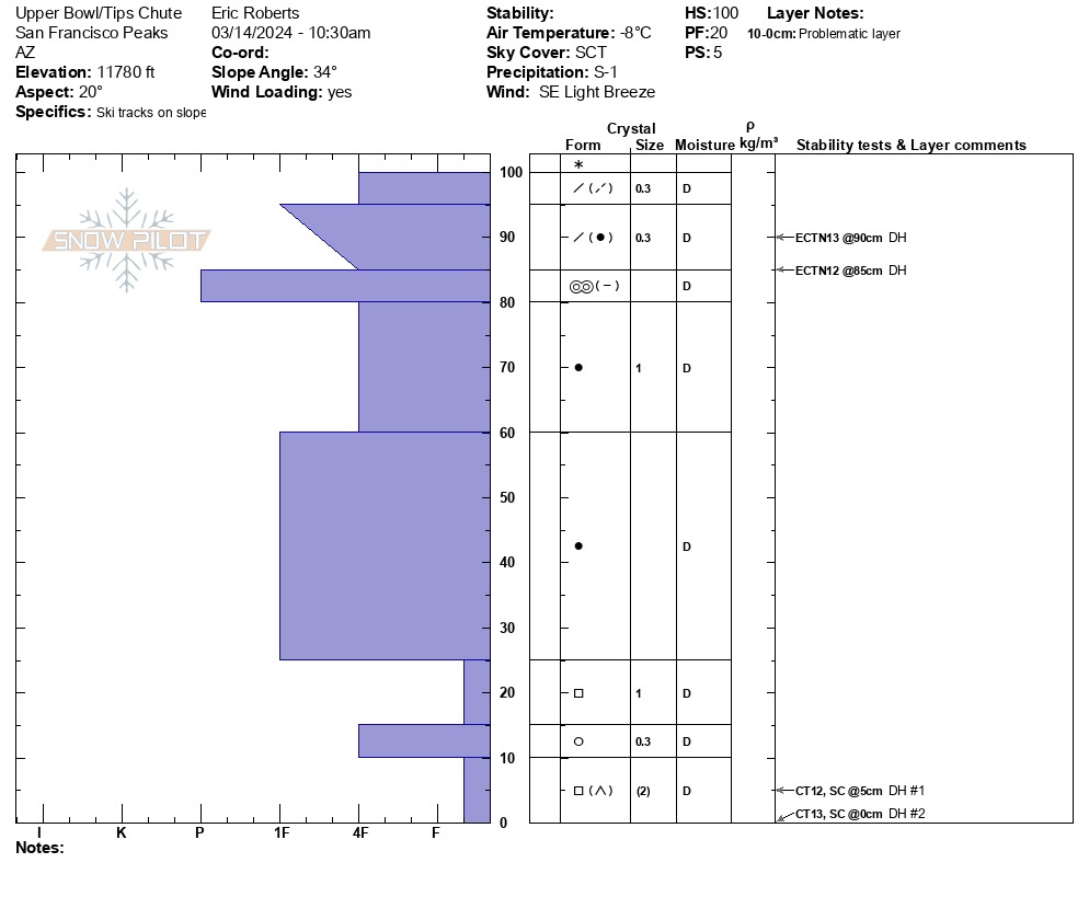
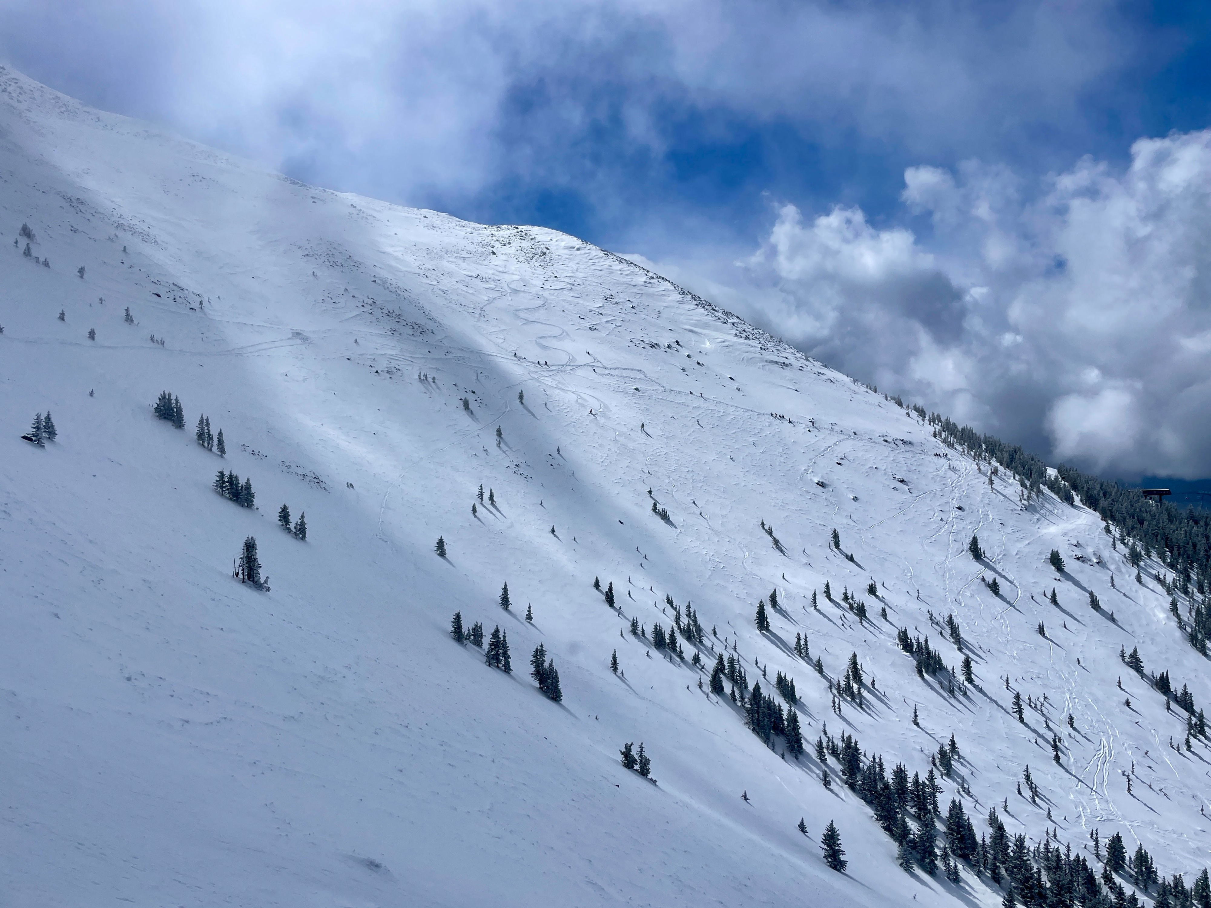
Instability tests reflected moderate structure, moderate-high strength and low propagation propensity. Active wind scouring/ loading was observed sporadically during tour with consistent SSE wind
Weather
- Air Temp
- 14F
- Cloud Cover
- scattered
- Wind Loading
- light
- Rain Elevation
- 10,500'
- Recent Snowfall
- 2-4cm
- Snow Avail For Transport
- small smounts
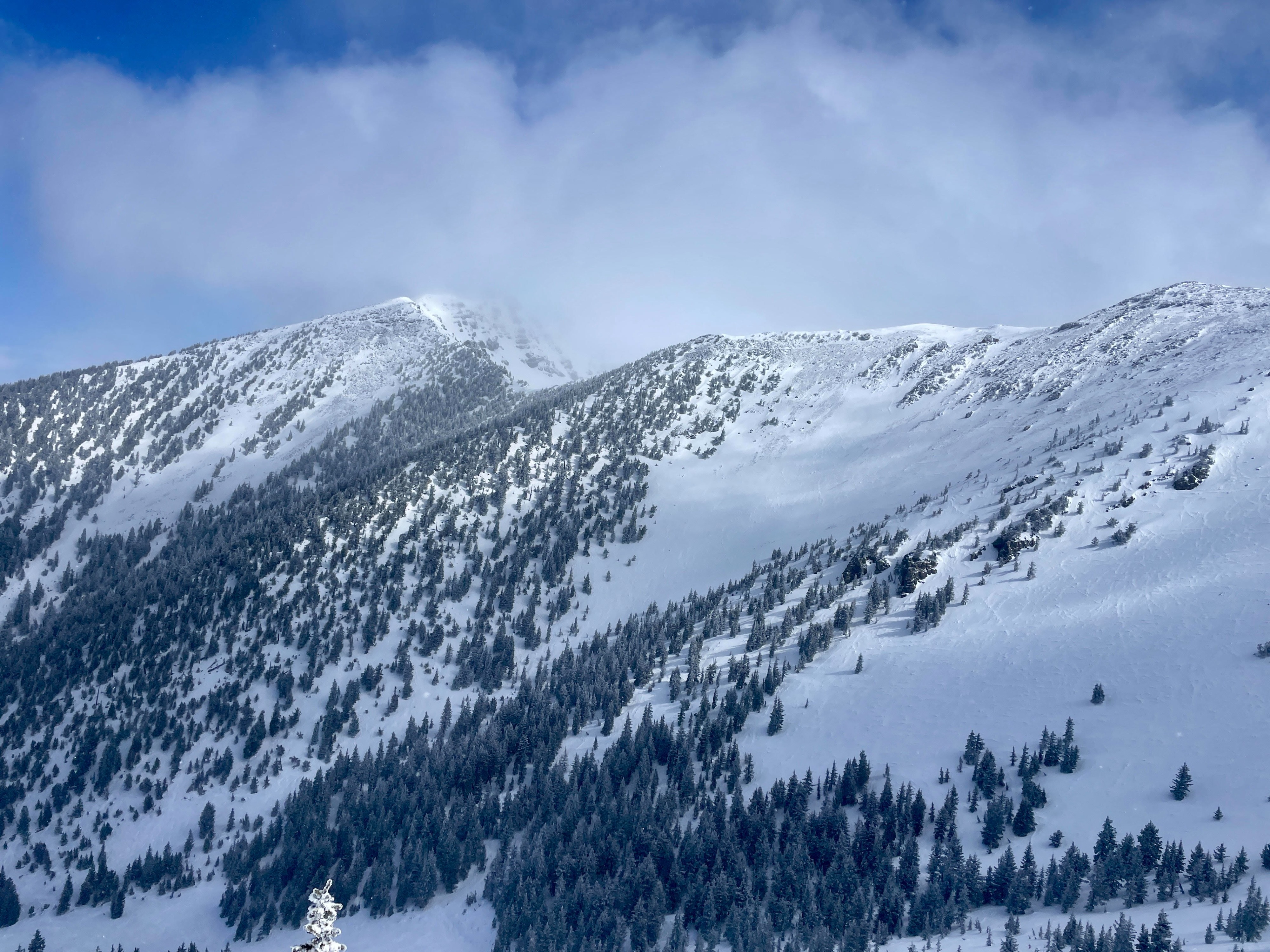
Few to Scattered clouds with storm clouds hovering near Grand Canyon and 25 mi West of Flagstaff. Periods of obscuration on Humphreys ridgeline Light to Moderate S-SE-E winds with gusts up to 15mph 14F S-1, Rime from previous 48hours still present 2-4cm of fresh, wind kissed on exposed ridgeline
Snowpack
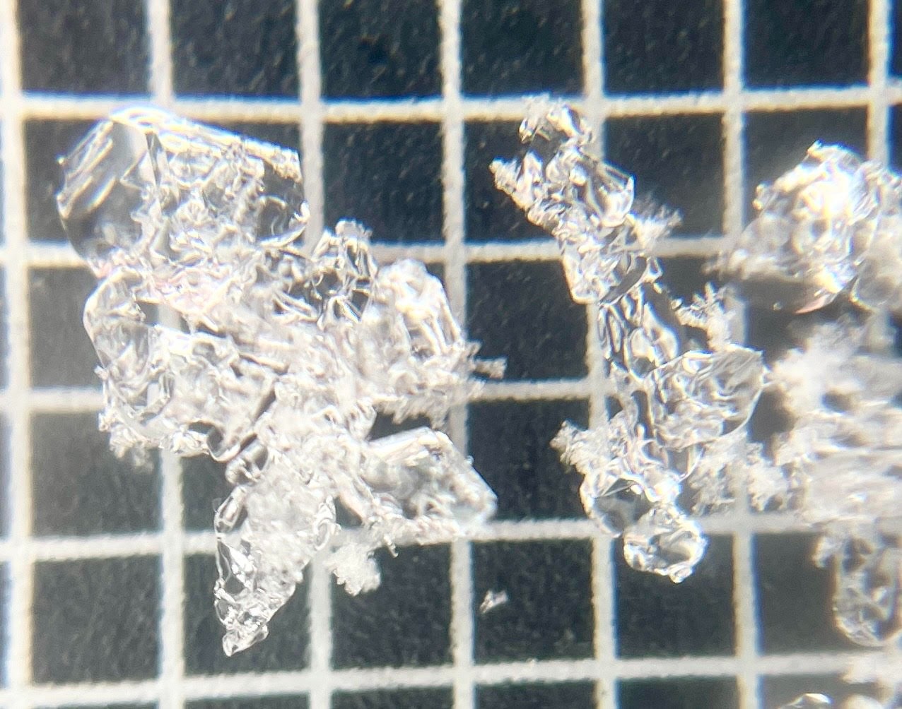
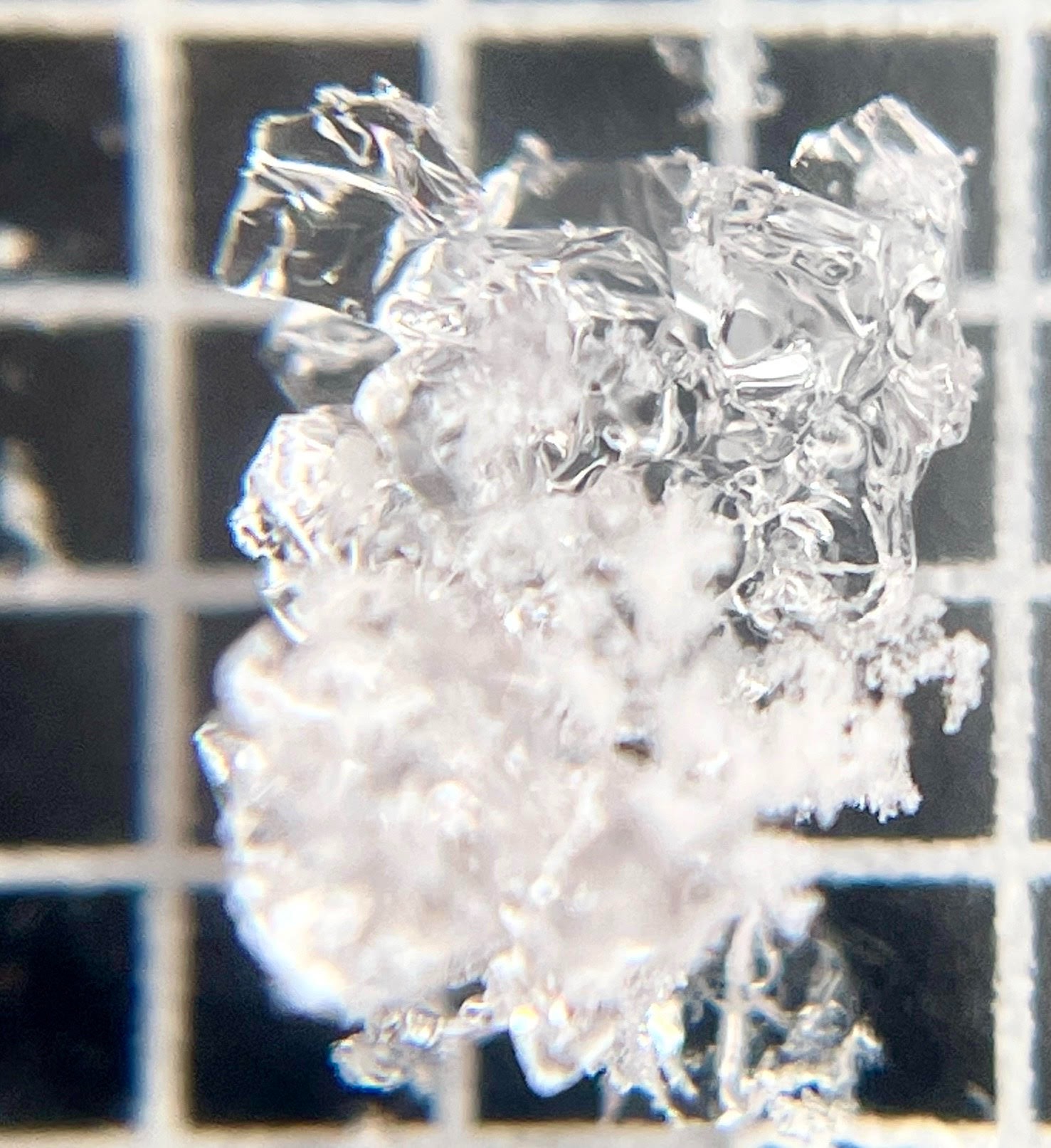
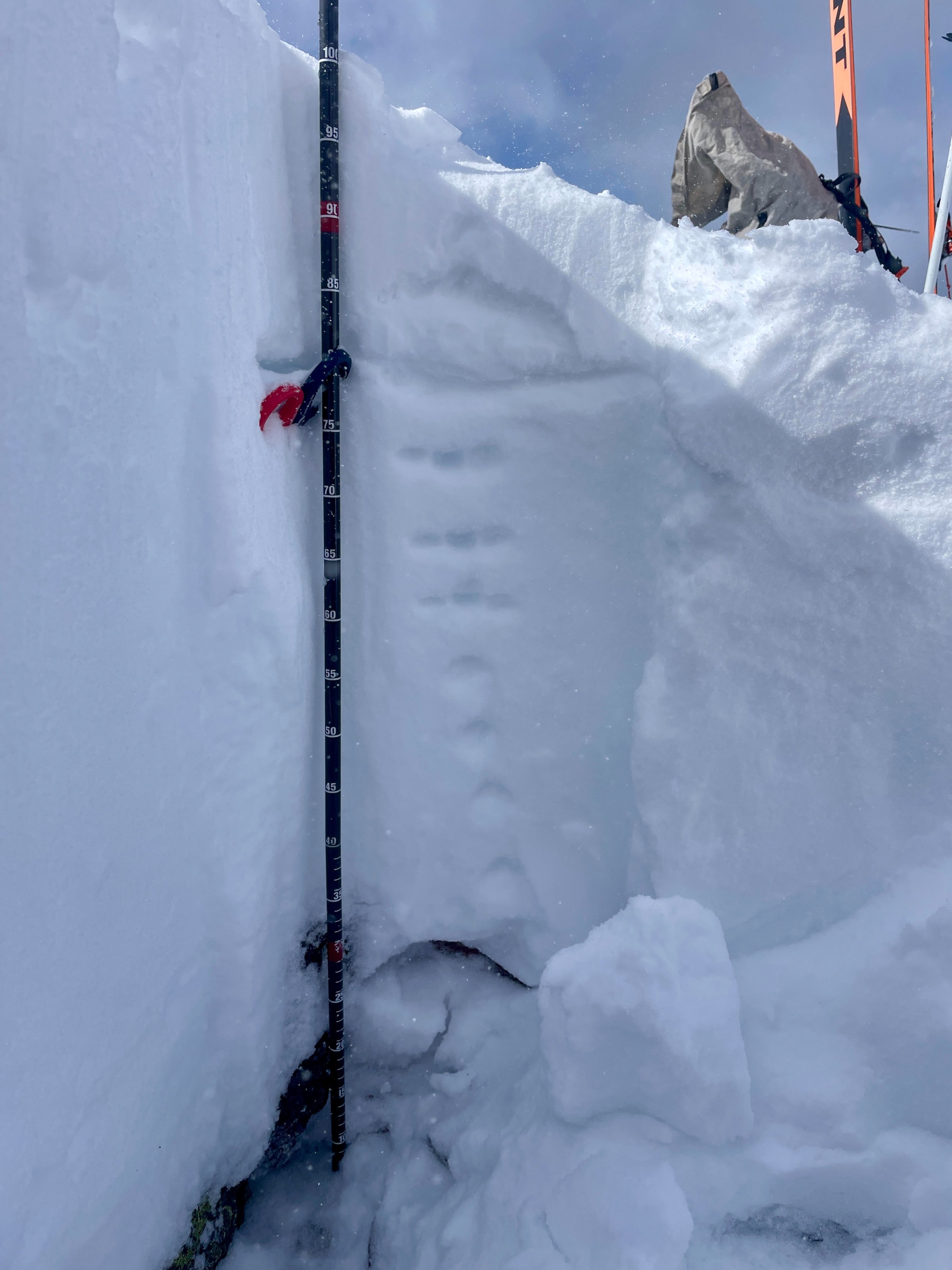
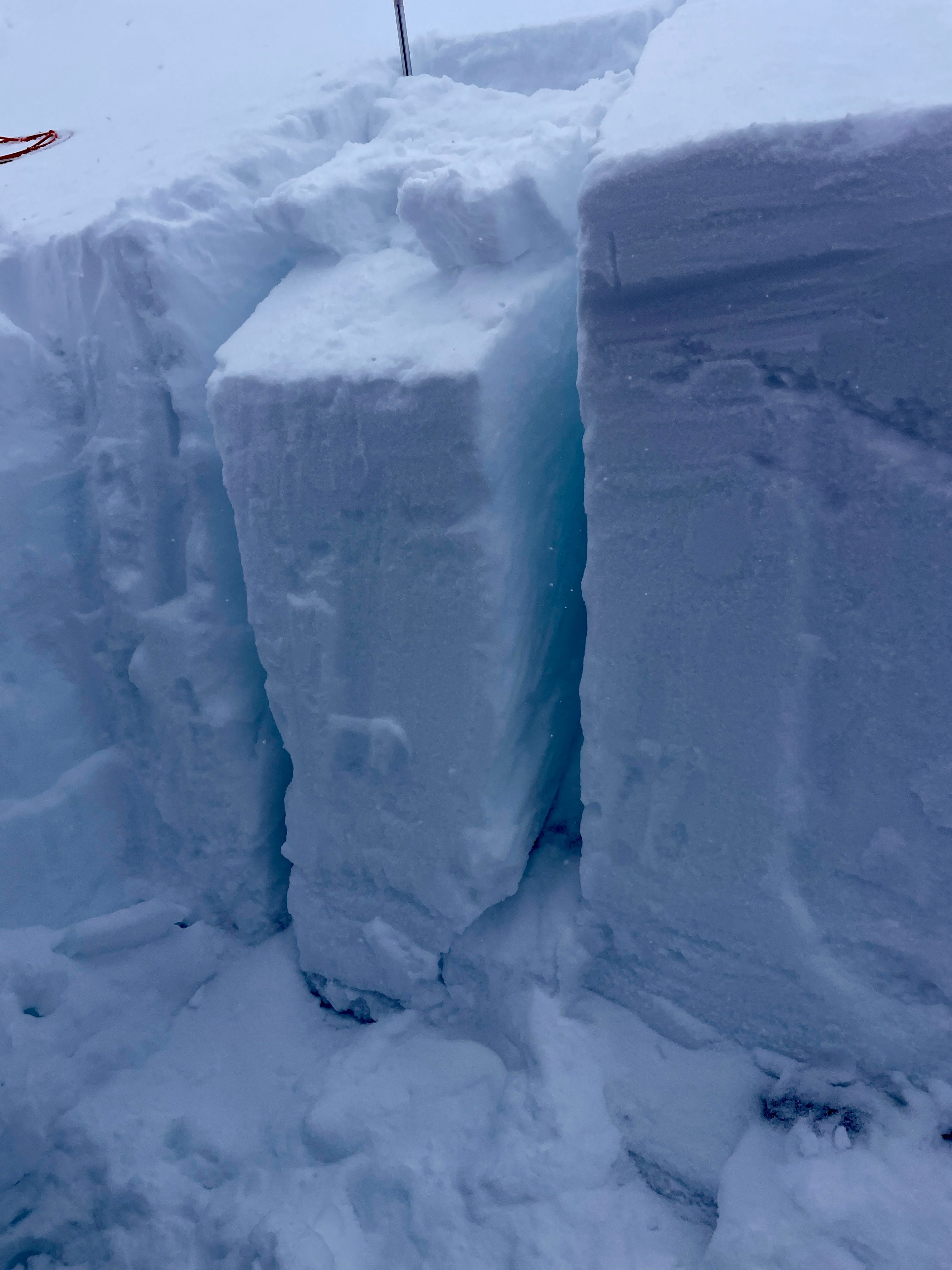
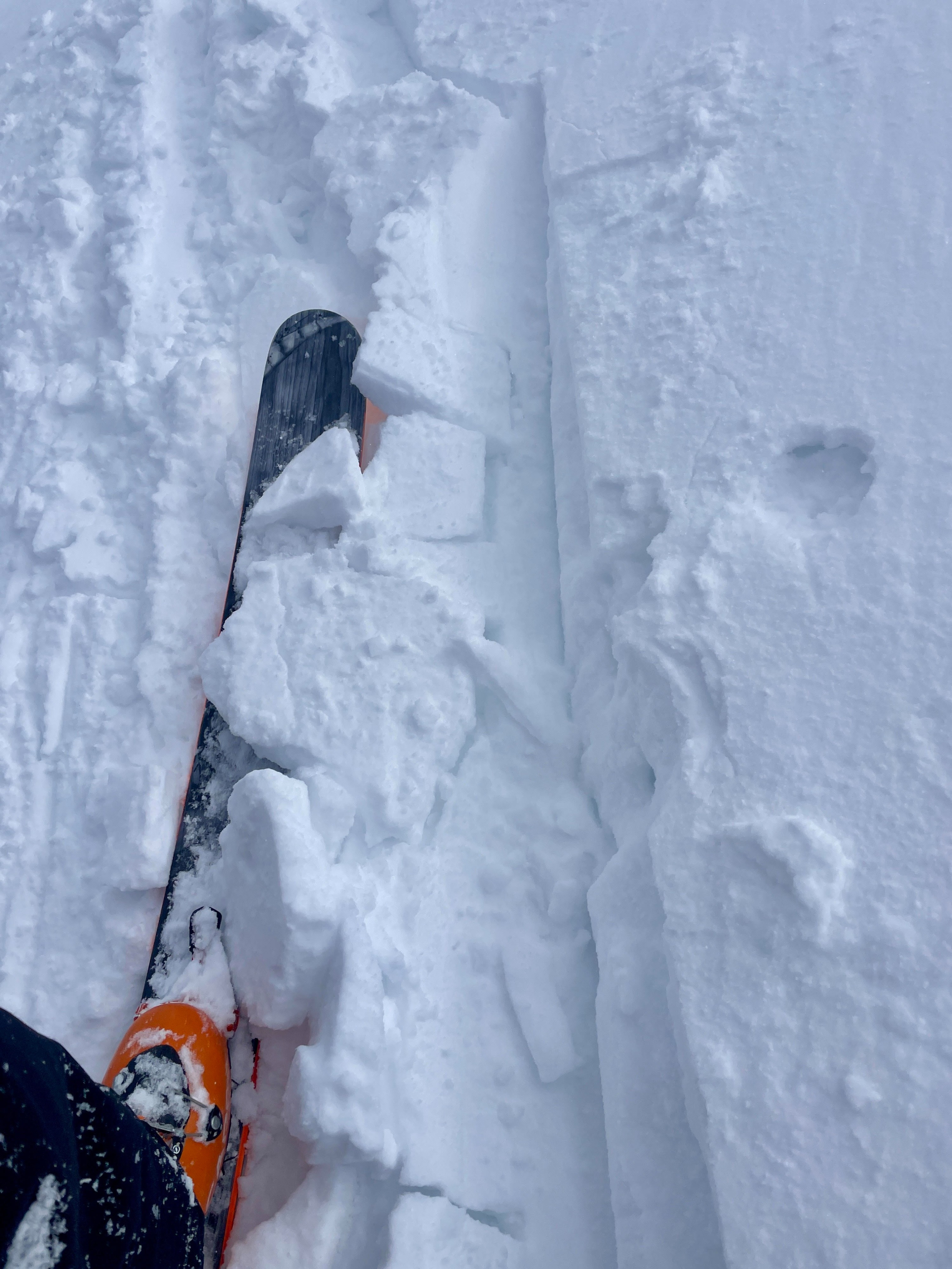
Snow Surface: F-hard 2-4 cm of fresh, low density snow on Northern aspects above a 1f- Hard supportable wind stiffened layer. Approximately 25cm down is a P-hardMFcr, potentially solar, that is both reactive in small column tests and helping to bridge impact to the lower 3/4 of the snowpack in this specific pit. The primary change in snowpack conditions on northern aspects in this location is the presence of DH (previously hard to locate) and upper surface variability (fresh/low density and wind slab potential). Height of snow (HS) is variable ranging from 60-100 cm in this specific micro-drainage, with shallow aspects (20-30cm) only a few yards away. Surface conditions may present with the most risk in early morning hours when melt-freeze crusts and stiff conditions are supportable and slick. Point releases have not been widely observed throughout this week due to sky coverage and cooler temps. Ski Conditions: Ski conditions are variable, but the recent accumulation has laid a carpet of smooth turns and potential unpredictability. Low density snow may provide pleasant turns, but can hide hazards beneath. Rock, talus and plants are sticking through the surface in many aspects. In general, the snowpack, in micro draianges in this specific terrain, may harbor PWLs that could be triggered in a shallow aspect and propagate deeper. Though consequences are relatively high, the snowpack may still be acting stubborn to unreactive across the board, prior to this storm.