
Quick report
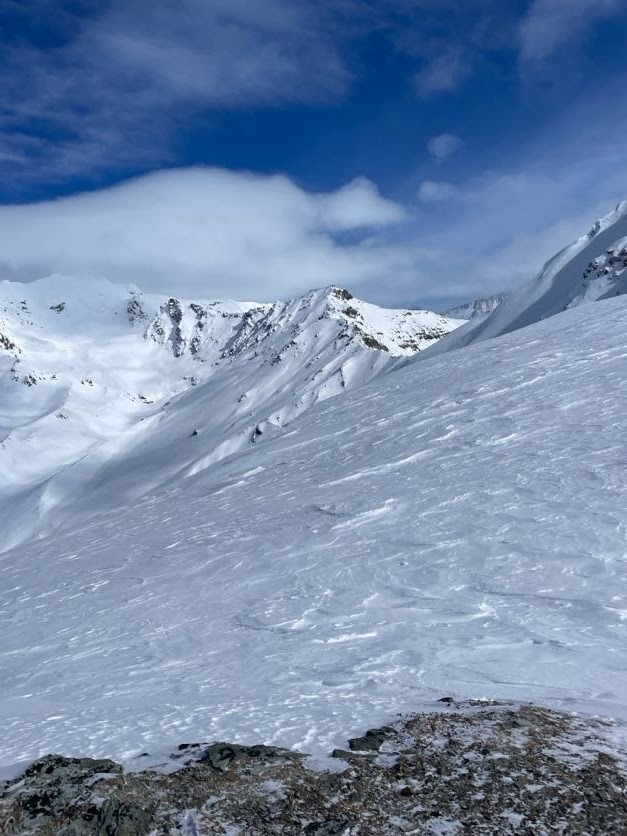
The new snow from the 4/7 storm has been blown off most parts of Devils thumb with variable skiing on the face. In surronding areas there is potential wind loading.
The persistant weak layer seen throughout the summit area last week was also observed on the North side before the storm. Be aware of this especially with any new snow or wind loading.
Weather
- Air Temp
- 20
- Cloud Cover
- broken
- Wind Loading
- previous
- Recent Snowfall
- 0
- Snow Avail For Transport
- small smounts
Clouds started to break more throughout the day.
Snowpack
7cm new snow layer, isothermal on top of a firm old snow up to 3,000' with a snowpack less than 1 meter.
at 3,700' 10cm punch crust to sugary new snow layer on top of firm old snow with about 1m depth.
Summit wind blown/wind board.