
Crystal Backcountry: Bullion Basin, Crown Point, Morris Creek, Pickhandle Basin
Quick report
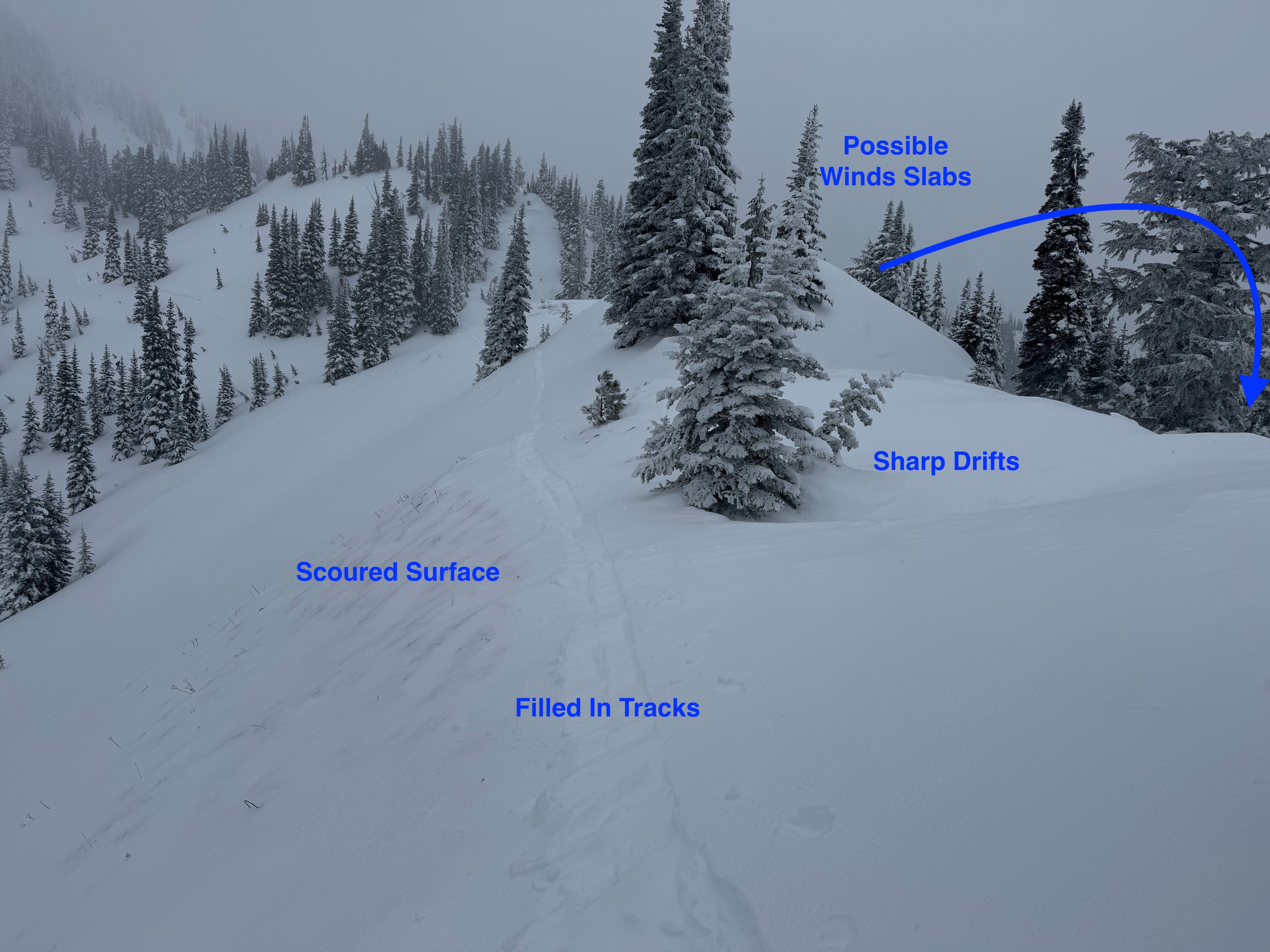
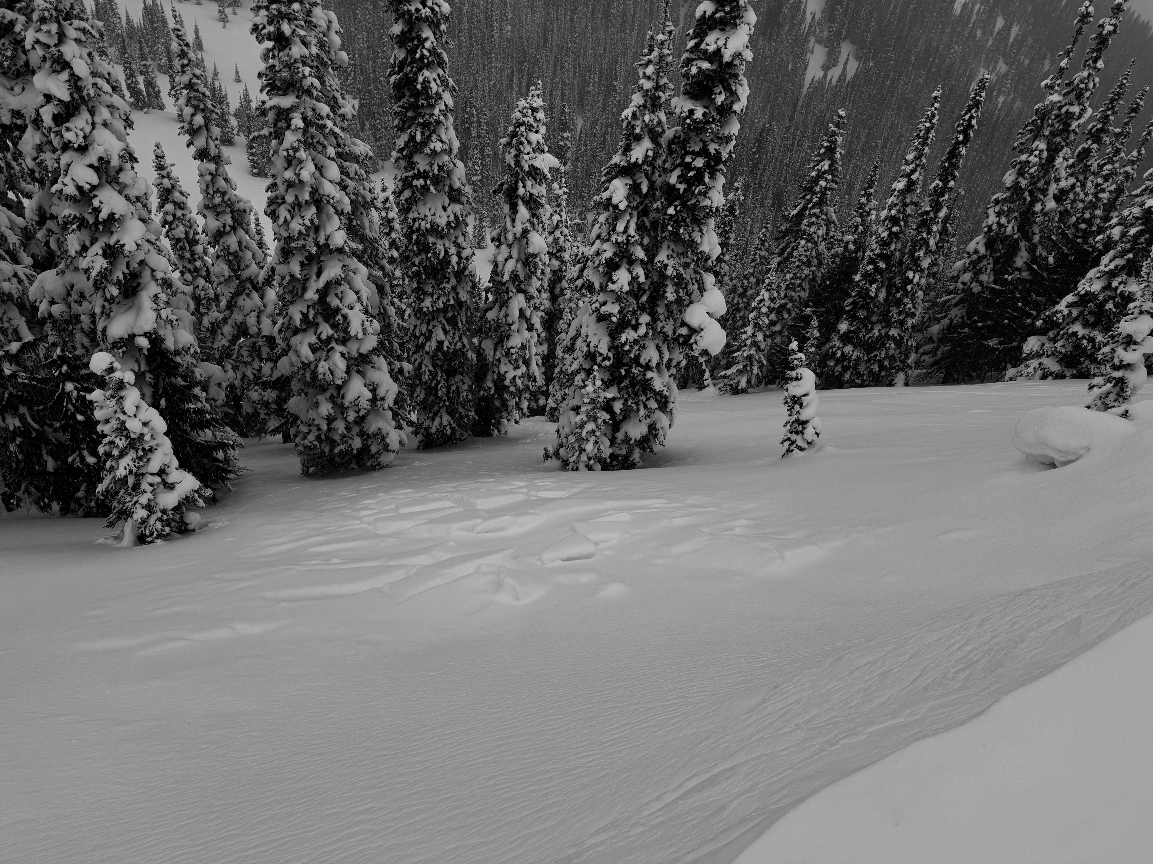
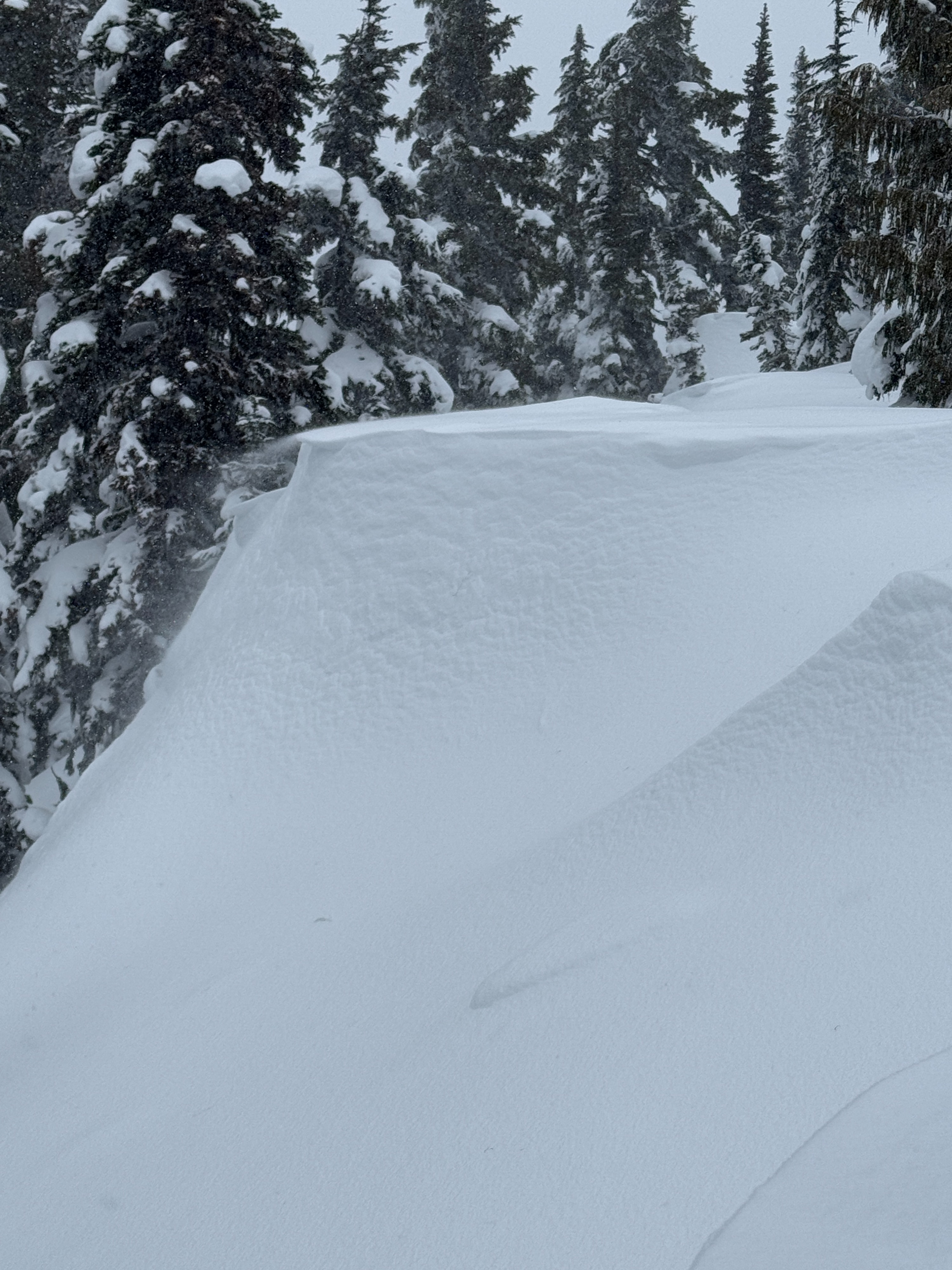
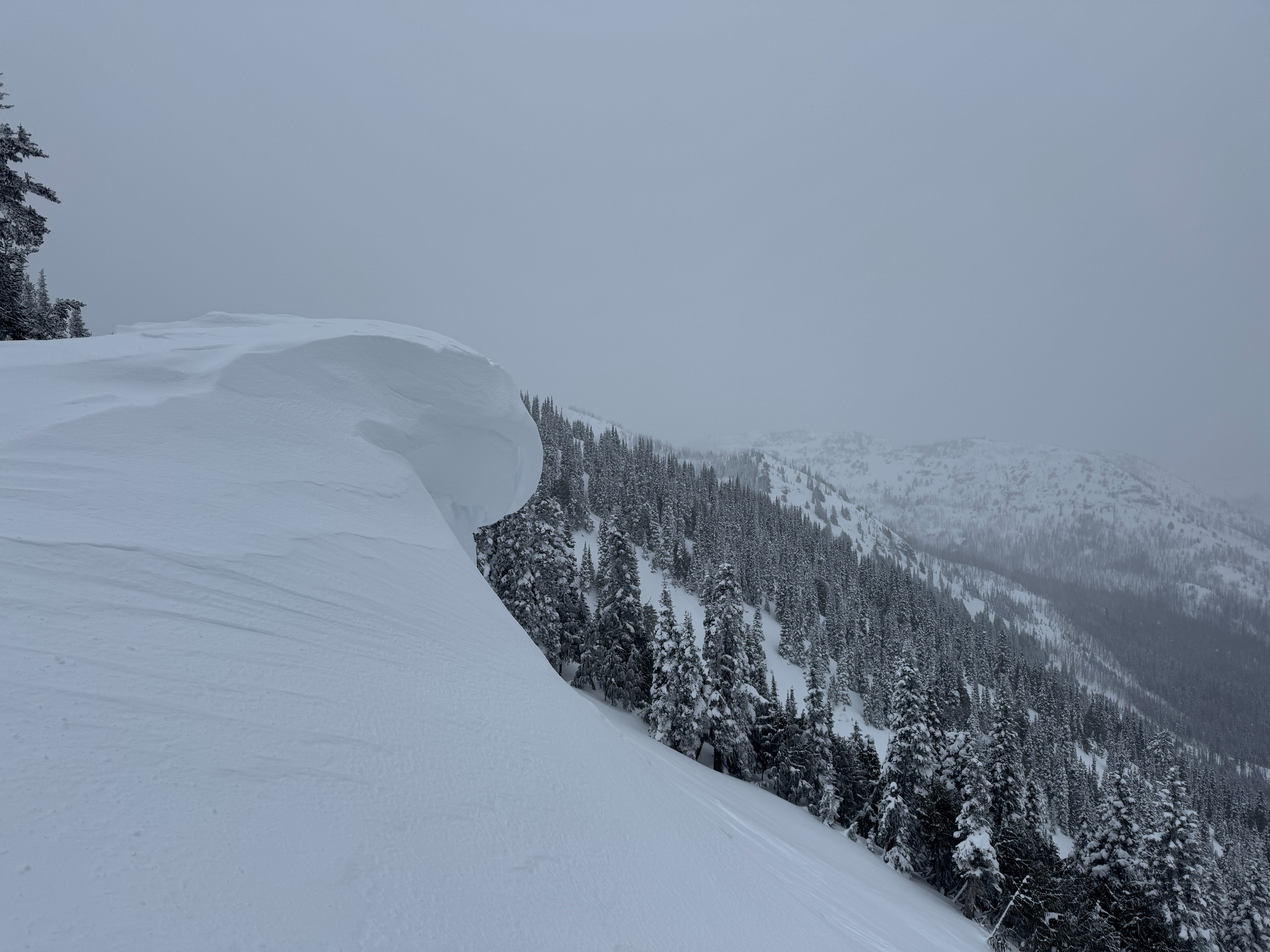
There's been a lot of wind affect in open areas in the middle elevation band. You can clearly see the impacts of this week's E wind event and the current active loading from W winds. Scoured slopes, drifts, wind lips, and cornices were common and pointed to wind slabs on nearly every aspect.
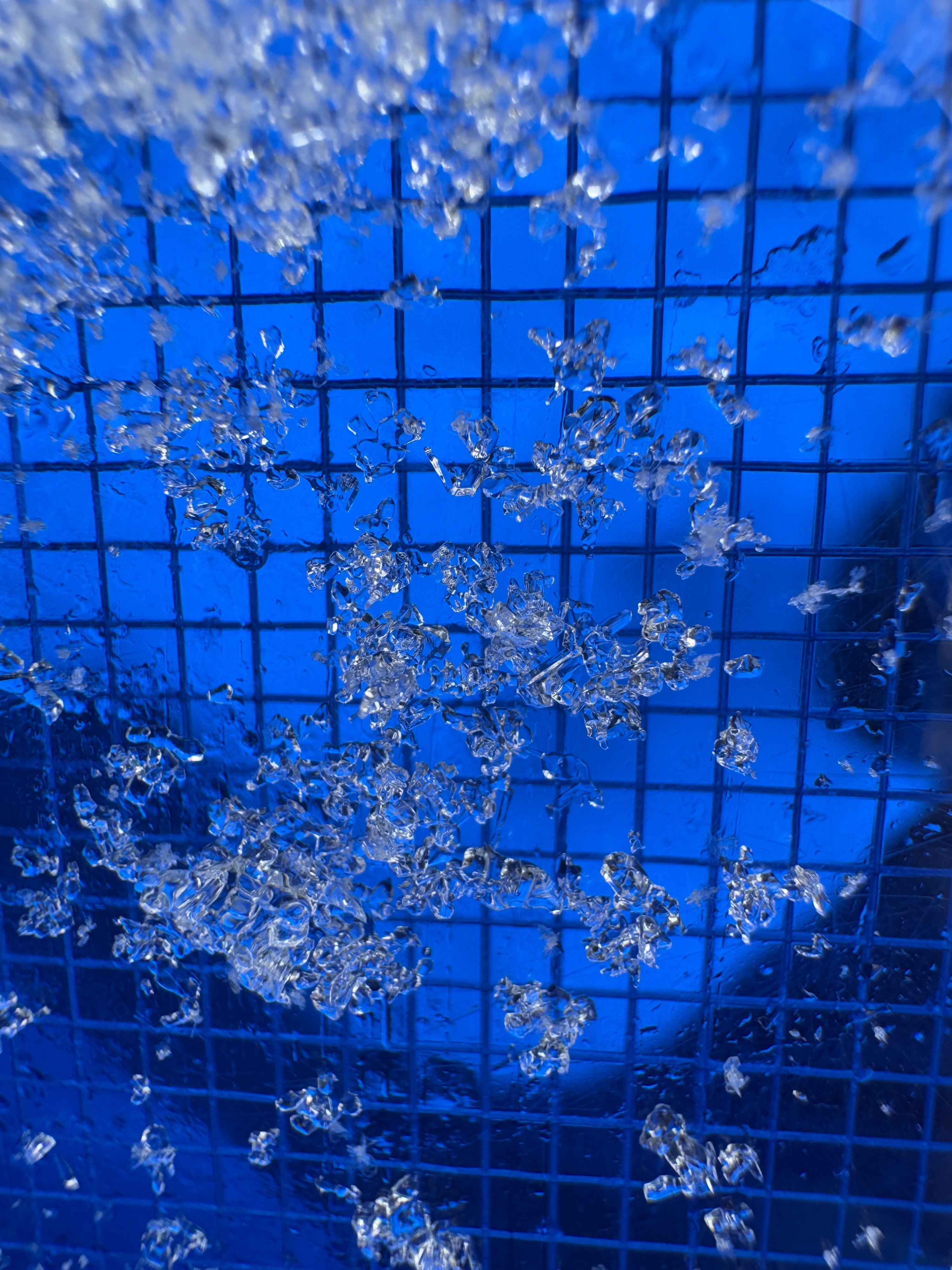
The persistent weak layers still aren't confidence inspiring. The grains are still weak and continue to fail. There's an obvious lack of avalanches, but if you stop and look at this layer, it's not hiding and still very weak.
No significant cracking or collapsing.Weather
- Cloud Cover
- overcast
- Wind Loading
- light
- Rain Elevation
- 1000
- Recent Snowfall
- 1
- Snow Avail For Transport
- moderate amounts
Overcast skies in the morning slowly lowered through the morning and eventually began to cover the tops of most peak. Very light (S-1) snow began to fall around 11am. We only accumulated about 1/2 in (1cm) during the day. This added to the ~3 inches (8cm) of snow since the 13th. Winds were generally light to moderate out of the W with blowing snow limited to immediate ridgelines.
Snowpack
Wind: The old hard wind slabs from Wed-Thurs East wind event were the hazard that really caught our attention. Some of these slabs felt very firm and hollow. They didn't crack or break, but we didn't push into steep wind loaded terrain with these hard to predict beasts. The were most common on W-NW aspects. You can see the damage from this wind even in the form of scoured slopes, erroded large cornices, and large very firm wind features.
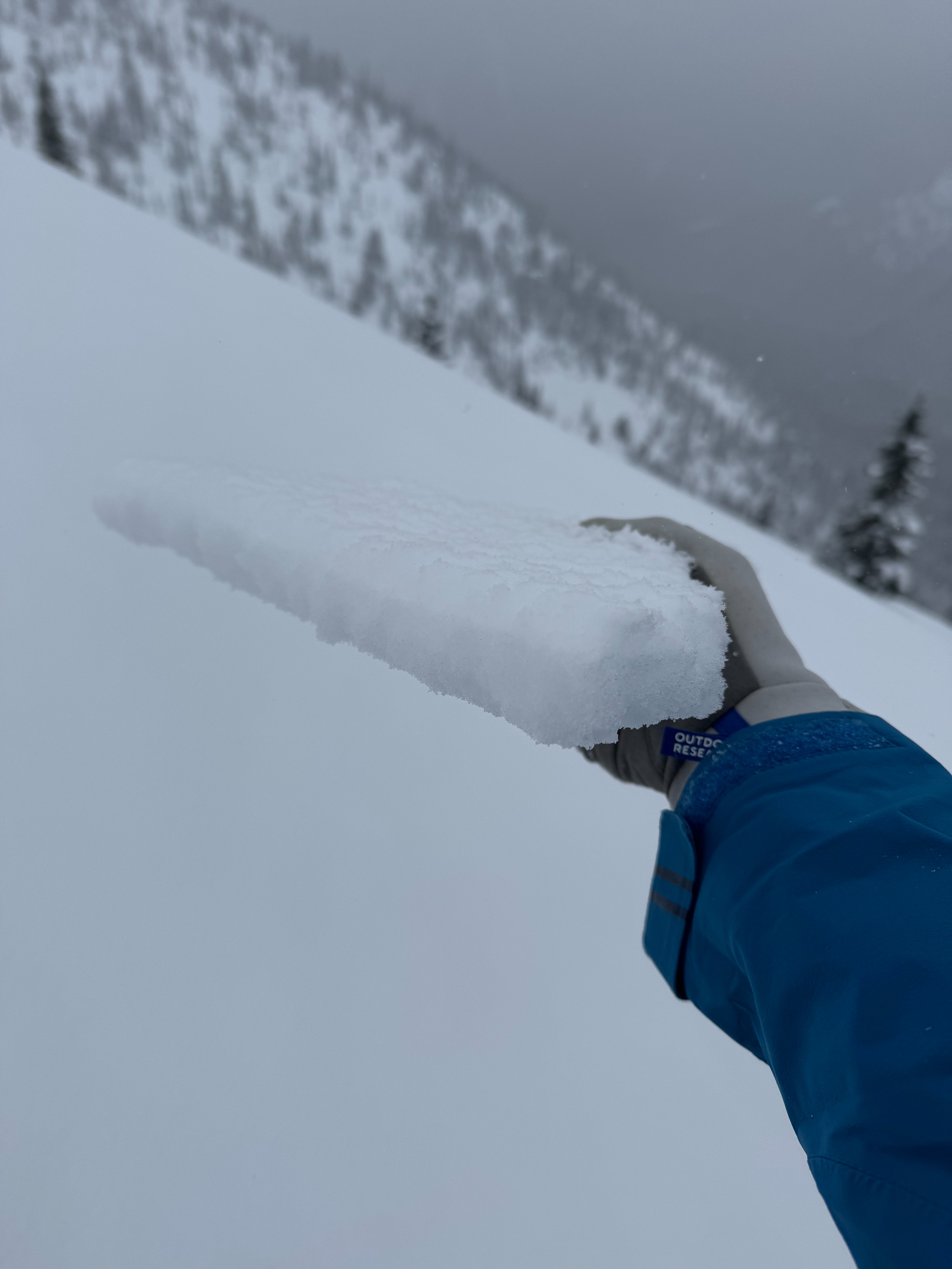
Today, the active wind loading was from West winds. Blowing snow, soft textured surfaces, and fresh wind lips were the common clues. These very thin slabs were still quite fresh and not quite big enough to be a hazard where we traveled. But, they were actively growing.
Persistent Slab: We looked at the persistent weal layers on a NE aspect 6200ft, a NW asepct 5700ft, and S aspect 6200ft.
NE 6200ft: This feature had seen the recent soft snow eroded by the wind. There was only about 10 in (25cm) over the January Drought Layer (JDL). Tilt tests highlighted the JDL but an ECT didn't fail (ECTX) and the PST as longer than normal (65/100 end).
NW 5700ft: This was in a protected area well below ridgeline. The Facets of the 1/10 complex were very well developed (1-2mm). While the ECT didn't fail (ECTX), the PSTs repeatedly propagated (PST 35/100 end x3).
S: 6200ft: The height of the snow over the 1/31 crust was highly variable. A thin 1-2cm breakable crust was common on Southerly apects.
Avalanche
We saw 5-6 small natural wind slabs from Thursday. These were generally on W-NW aspects just below ridge crest. A few inches of new snow topped all the debris piles.