
Quick report
Warm temperatures on Wednesday and warm temps and rain on Friday are promoting bonding and settlement in the existing snow. In broad terms, we are losing some snow but the ability of the remaining snow to cover and keep you off of the terrain is improving. If the snow currently on the ground is able to re-freeze, expect to find a stiff crust underneath any subsequent new snow.
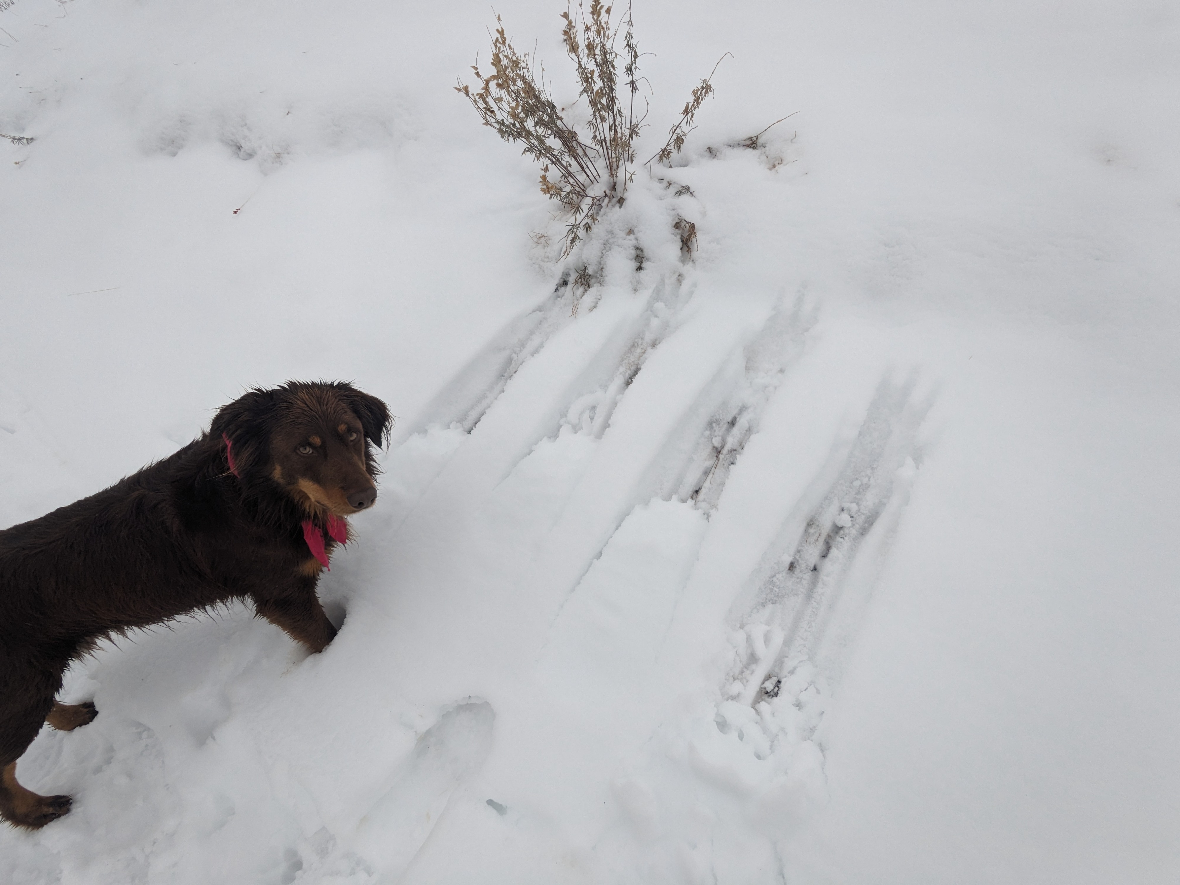
A few small rollerballs on steep slopes as the dry, faceted snow gets wetted. If you found a nice steep, smooth, grassy slope with snow on it I suspect you could've pushed some small wet goobers today. I don't think there are very many slopes that fit this description right now.Weather
- Air Temp
- low 30s F (estimated)
- Cloud Cover
- overcast
- Wind Loading
- none
- Rain Elevation
- 9100
- Recent Snowfall
- trace
- Snow Avail For Transport
- none
Late afternoon weather obs: light drizzle falling off and on below ~8,800'. Wintery mix falling between 8,800' and 9,100', snow falling above 9,100'. Light winds out of the W.
Snowpack
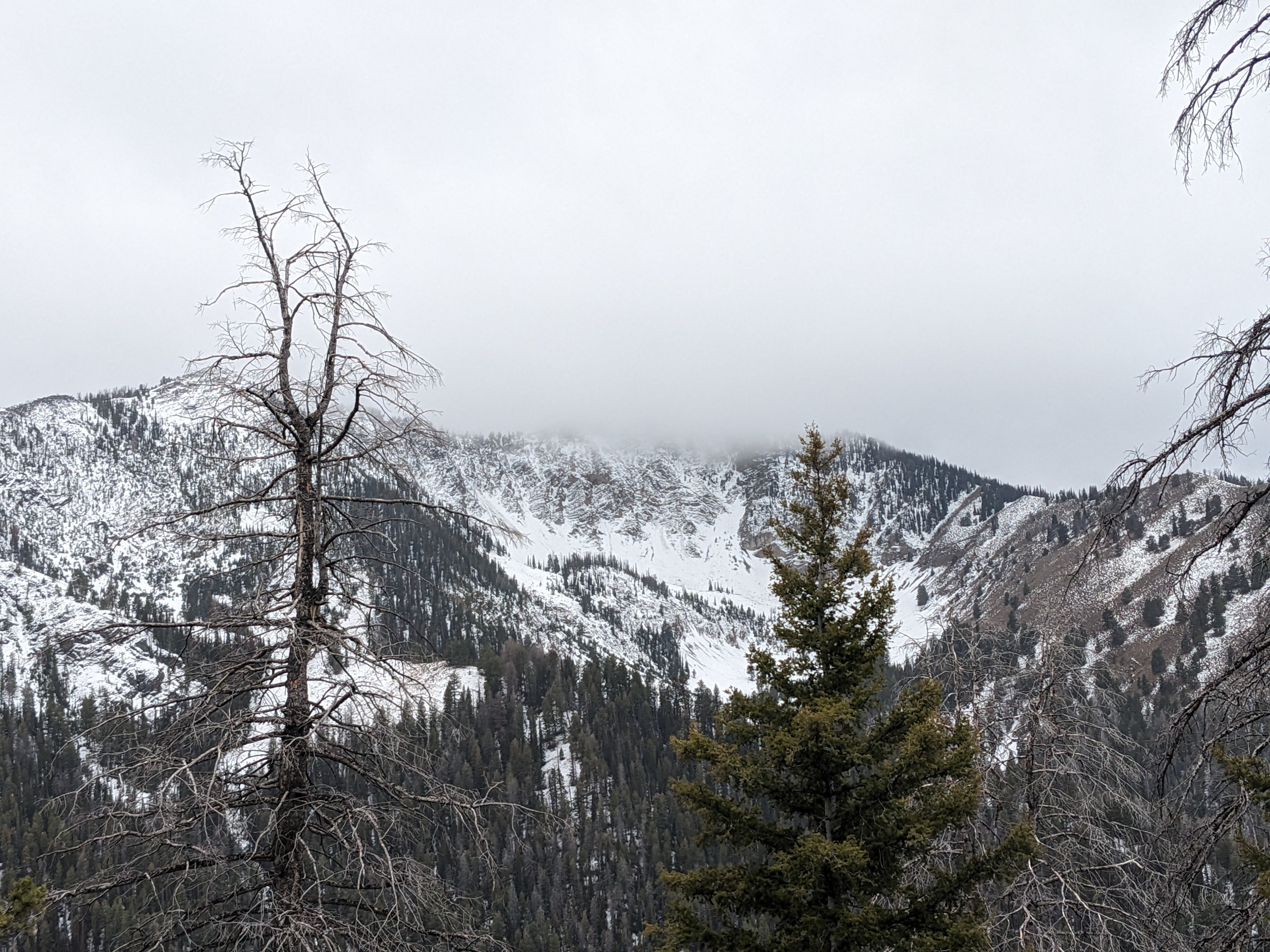
Above-freezing temps and upper elevation rain have helped to melt/wet the snow on the ground. Shaded slopes up to 9,500' (highest observed snow) held 15-20cm (6-8") of moist to wet snow. Unknown how high this ambient melt is occurring, but I suspect that above 11k (ish) we may still have a largely cold, dry, faceted snowpack.