
Quick report
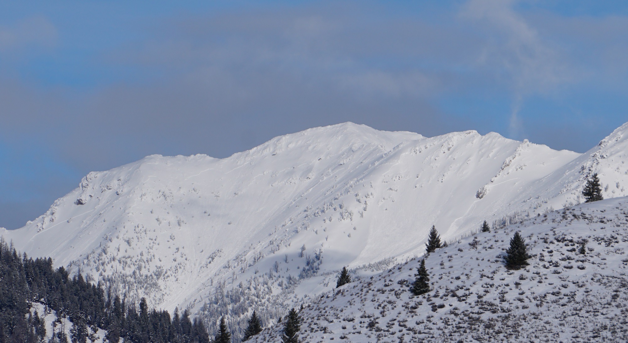
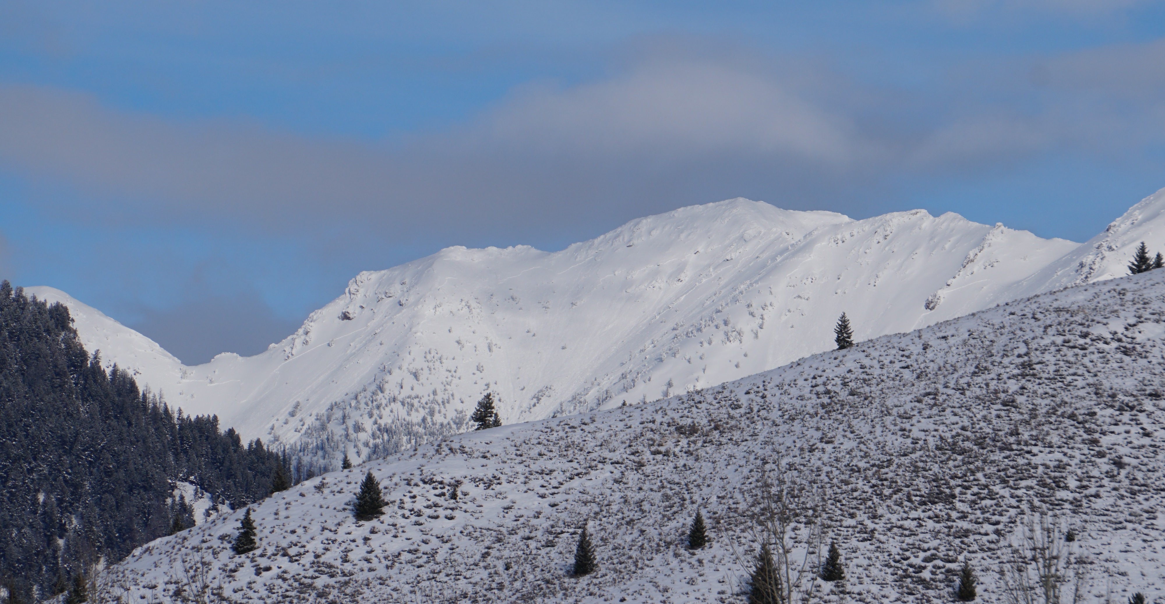
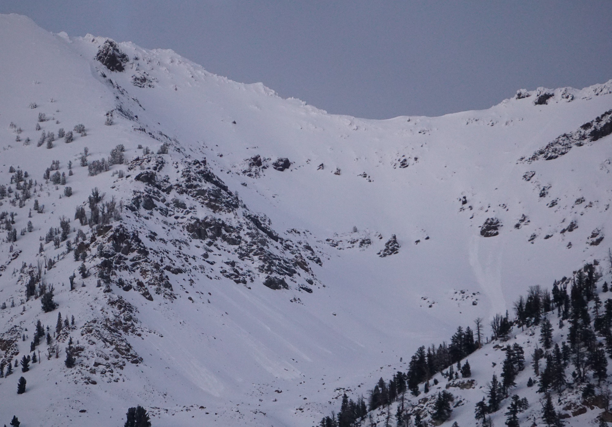
Huge natural avalanche in the N Fork Big Wood drainage (Galena Summit & E Mtns zone) - over 1 mile wide. Recent avalanches big enough to bury people in Swamp Ck in the Banner Summit zone and W Fork Prairie Ck in the Galena Summit & E Mtns zone. Several small loose snow slides released today in the central and southern Boulder Mtns where it was mostly sunny this morning. At Copper Mtn, no "in your face" signs of instability but the snowpack structure still looks terrible; the bad structure (ugly weak layers with a dense slab above) and recent loading from snowfall trumps the other information.
See avalanche entries below - the N Fork Big Wood was impressive. No obvious sings of instability while on skis at Copper.Weather
- Air Temp
- mid20s to low 30s
- Cloud Cover
- broken
- Wind Loading
- none
- Rain Elevation
- below Banner Summit level (6900') for the last 24 hrs
- Recent Snowfall
- difficult to tell
- Snow Avail For Transport
- moderate amounts
Intermittent squalls with graupel from Stanley Lake to Copper, and at Copper this afternoon. <1cm accumulation from 1-4PM. Skies ranged from scattered (PC) to obscured from Hailey to Banner, and at Copper during the day. This morning's Ketchum to Prairie Ck blue sky "donut hole" was the best visibility I had today. Winds were generally calm with light westerly winds during squalls above 8500' at Copper this afternoon.
Snowpack
Copper Mtn upper snowpack: 7000-8000' = single razor crust 7-15cm down from with some faceting above and below the crust. It was not very sensitive in informal hand shear tests, probably because it needs a slab above it. It is worth noting this potential weak layer for the next loading event. 8000-8900' solars = transition to multiple razor crusts 10, 20, and 25cm down. No ugly shears today in informal tests, but worth noting and remembering the crusts. No wind loading.
Copper 8500-8900' SW-W-W/NW: 1/6 presents as crust+FC sandwich with failure just below upper crust, about 45-60cm off the ground with a 40-70cm slab above depending on wind and sun exposure. See photo/profile for 8715' SW pit: ECTN19,21. The structure is ugly. I did not put a lot of stock in the stability test results because of the high likelihood of previous collapses and tracks from previous ski traffic. Little to no wind loading in the past several days, even in locations that typically have significant cornice growth and wind loading.
Avalanche
- Size
- D2
- Count
- 3
- Aspect
- SE
- Trigger
- N
- Elevation
- 9400 ft
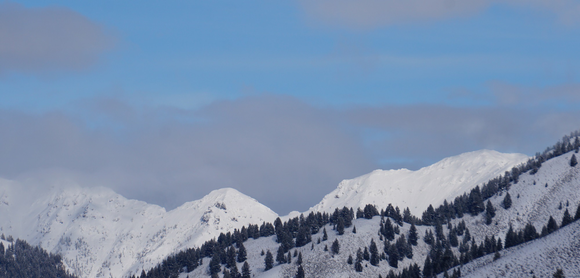
The fresh N Fork slide may be the widest avalanche I've seen in my 30 year career. Unknown date on the Swamp Ck and W Fork Prairie Ck middle elevation persistent slabs, but they are not that old. I didn't have great vis for the evening photos of small D1 loose snow slides in the Boulders from Easley to Boulder Peak (see photo in Media section) - that area had the least cloud cover this morning when I drove north, and there were about 10 small slides present around 5:30PM on the way back south. I had decent visibility and did not see any large avalanches in the following places (south to north): Lake Ck, Eagle Ck, Murdoch, Newman Ck/Butterfield, Owl Ck, Galena Peak area/northern Boulders, north faces of Bromaghin-Saviers-Titus Peaks, parts of Smiley Ck and Frenchman Ck and Salmon headwaters immediately SW-S-SE of Smiley Ck (bad vis in the upper reaches of those drainages), northern Sawtooths eastern and northern fronts from Redfish Lake to McGown Peak.