
Quick report
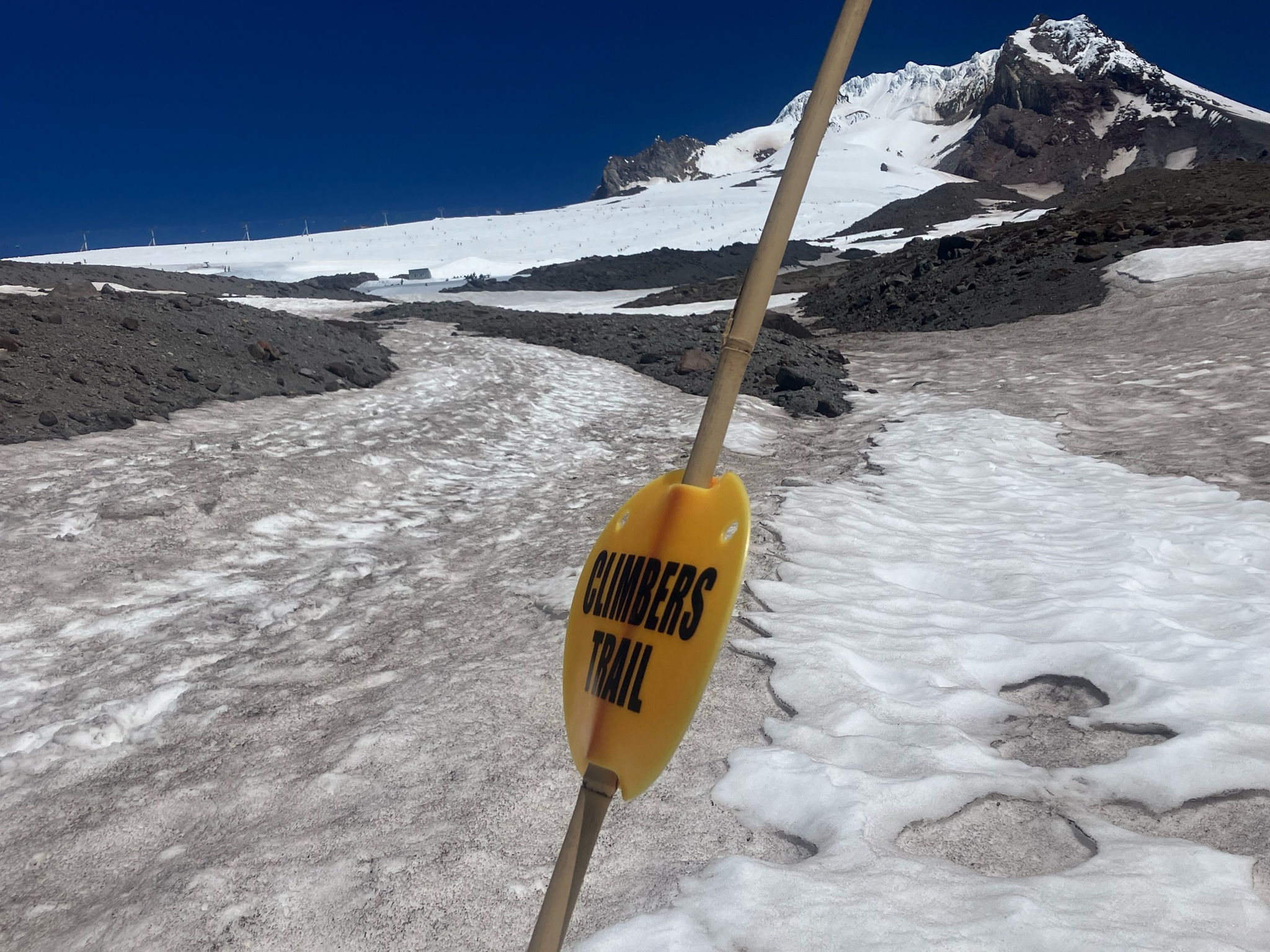
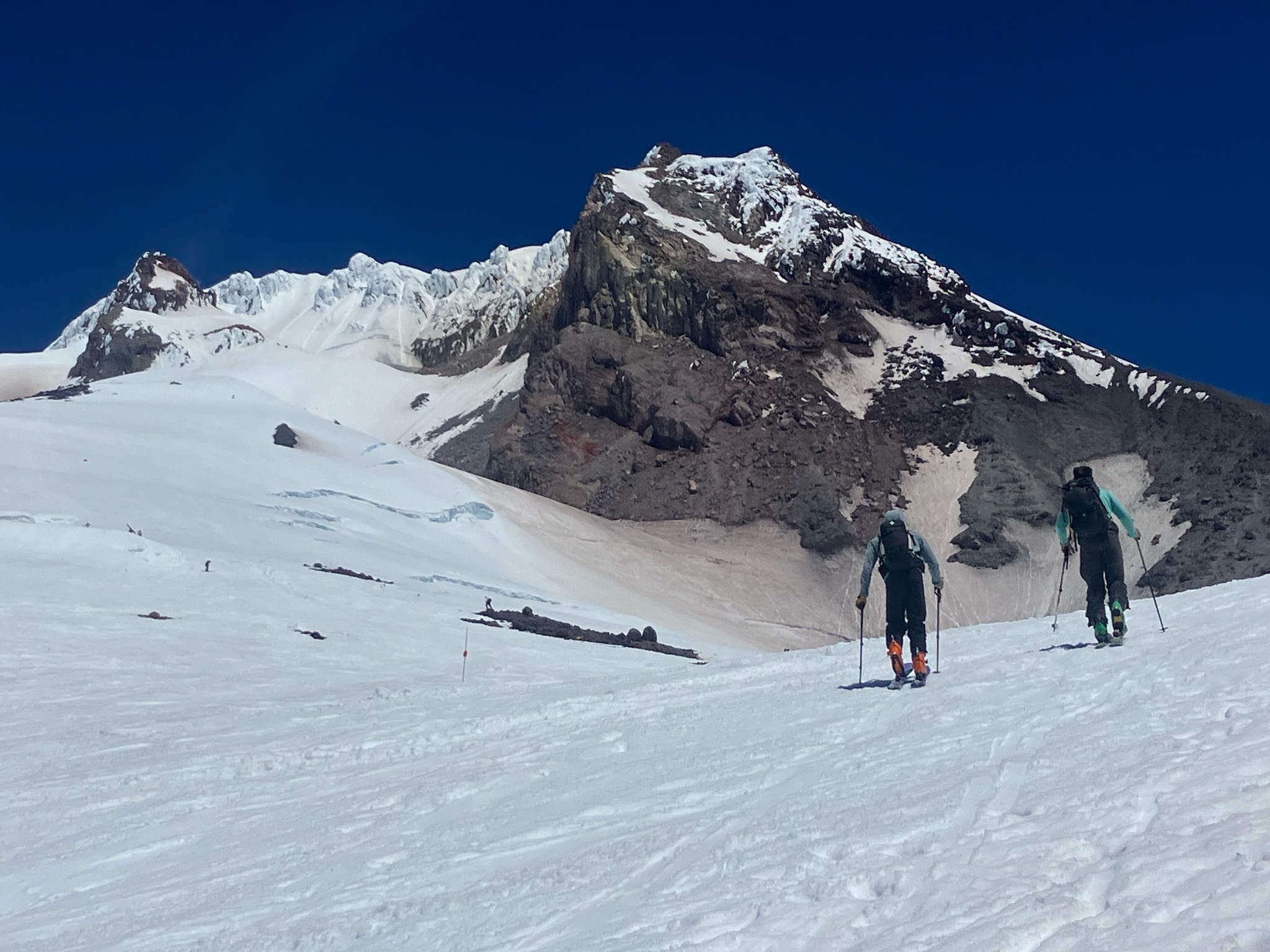
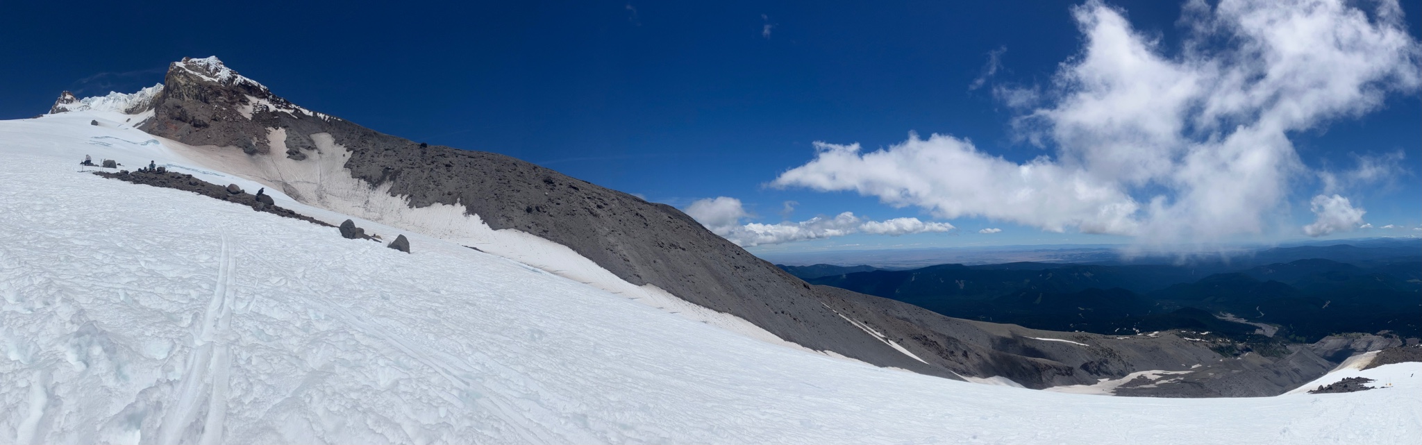
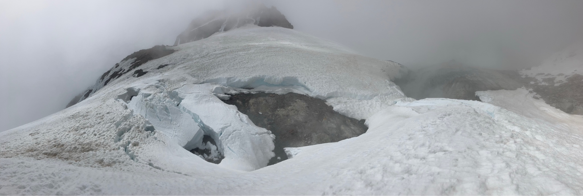
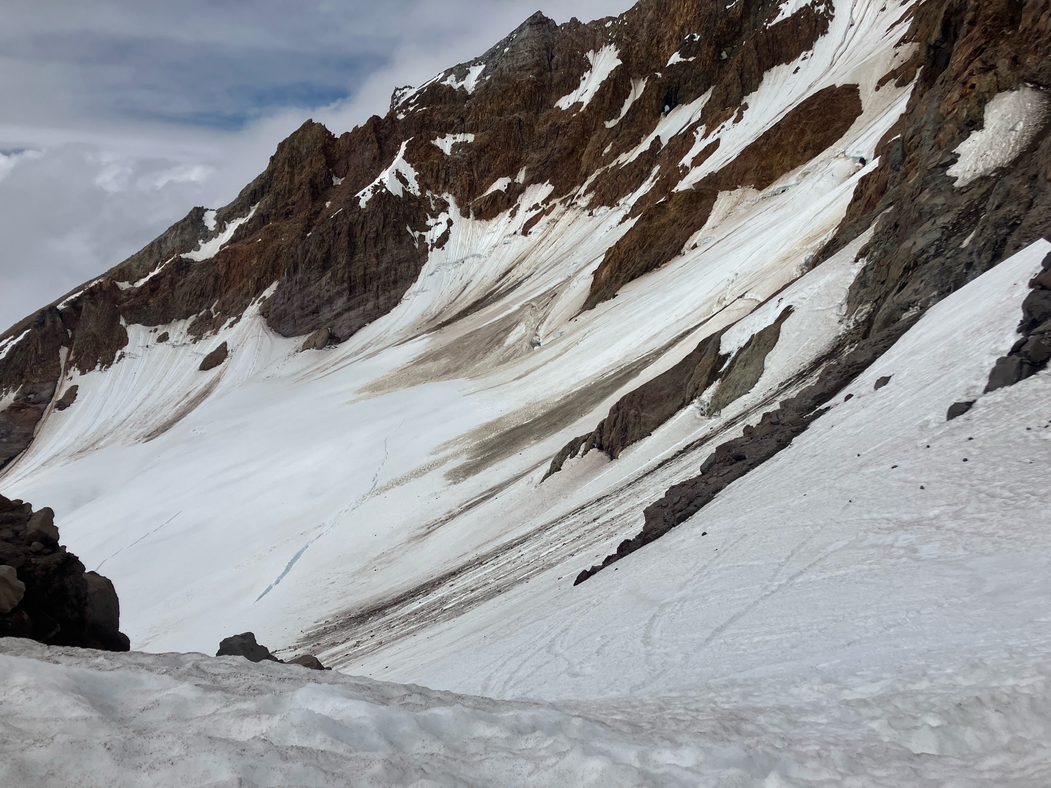
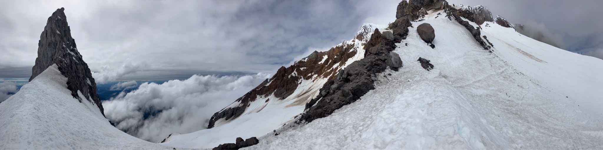
Departed Timberline Climber’s Trail TH 10am on skis from the start (and stayed on skis entire time tho briefly got thin at around 7.2K’). Climbers Trail to Devil’s Kitchen 3pm w ski crampons to help annoying minor slippage near Palmer level (fyi - almost switched to boot pack around 9500’ and VERY glad I didn’t after witnessing a guy w a board on his back post-holing a bunch before bailing around 9.8K’ (white-out then rolled in and heard him cursing on descent. Bad timing luck I’m well-versed in myself haha). Ski to Illumination Saddle 4pm and TH 4:30pm. Mostly sunny day w minimal wind until around 2pm when light whiteout-like cloud cover began and stayed that way above 9500’ish causing me to bail on Hogsback goal. Saw no natural avys, but did note plenty of rockfall off Steel Cliff and Lower Castle Crags. Glacier feature (glide crack?) above Devil’s Kitchen on start of climb to Hogsback has widened/released. Finally incl pics of crevasse conditions on White River and Reid Glaciers.
Avalanche
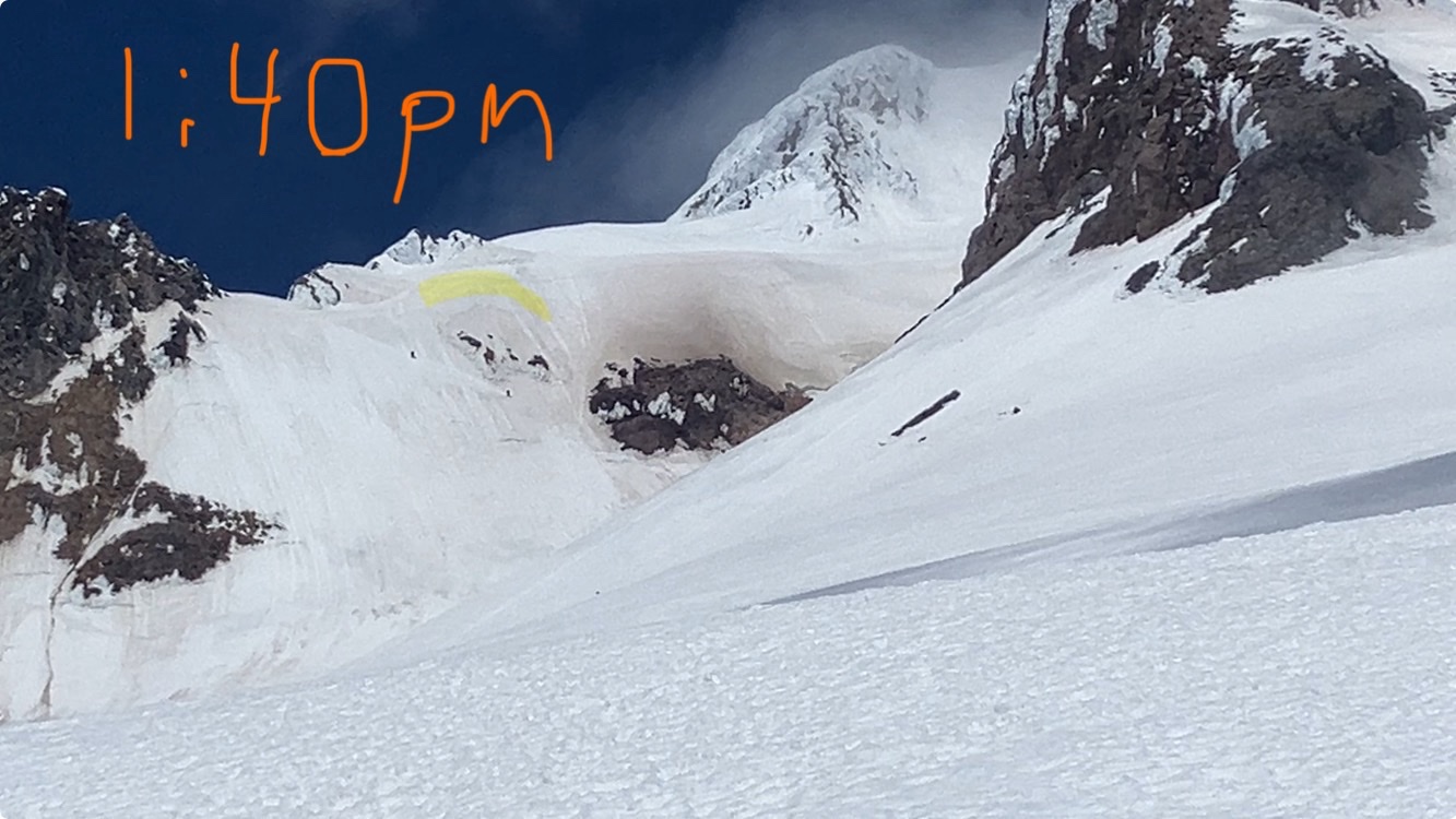
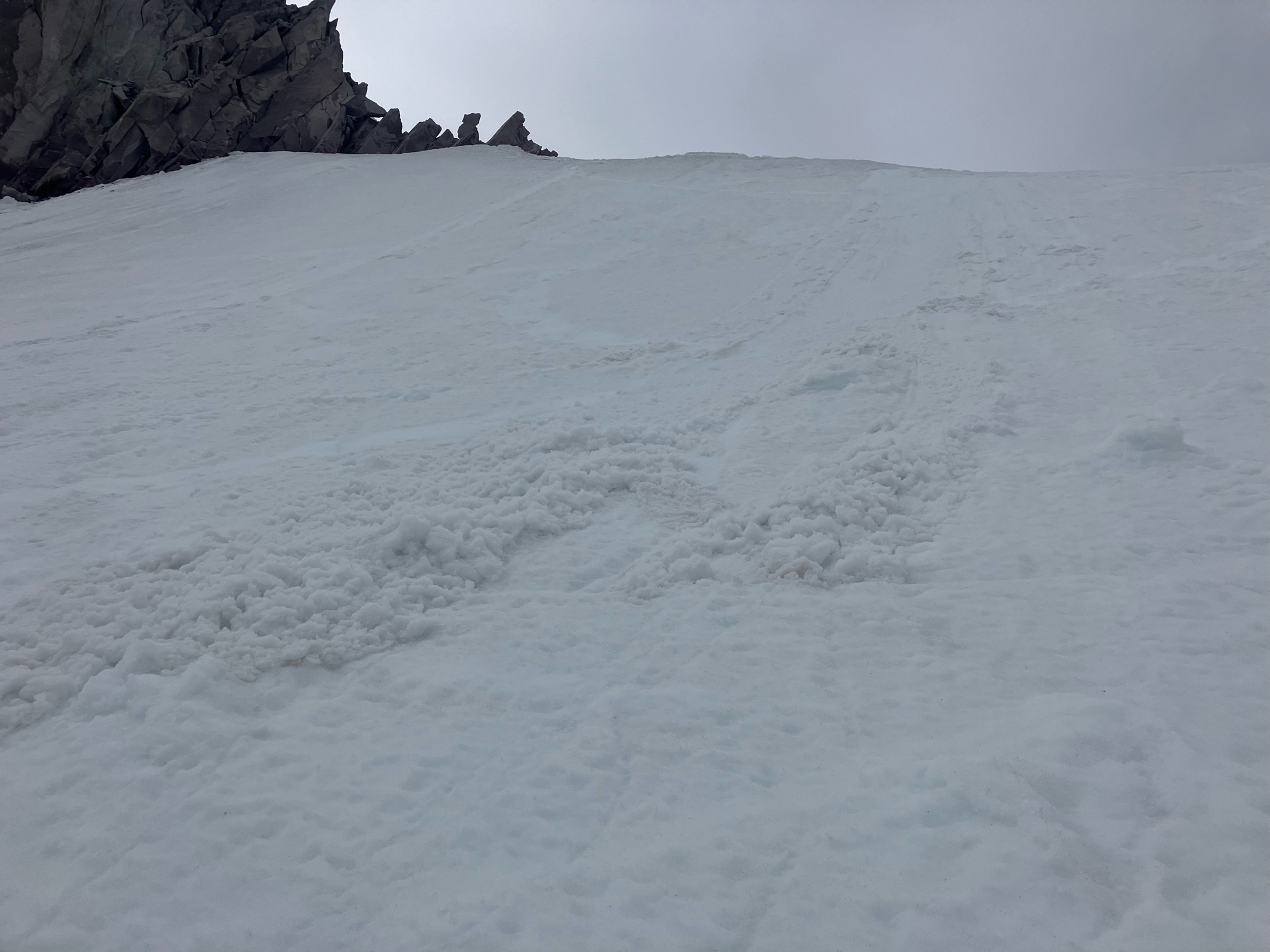
While technically the tiny (D0.5 if that) loose wet sluff I triggered on steep sun-soaked south-facing slope beneath Illumination Rock/Saddle at 4:15pm qualifies as an avalanche, noting more to complement bit larger one I saw skiers trigger (also by simply traverse exiting) on Lower West Crater Rim (ie similar aspect) a few hours earlier as they wisely decided to exit vs drop-in on the main slope. Uploaded pics for both (and highlighted which I think was a small but high consequence (likely wet) slab crown in the Lower WCR pic. Also, given how easy my sluff triggered w low speed/minimal force of exit traverse, had either of us to ski our respective slopes, avy size would have likely increased.