
Quick report
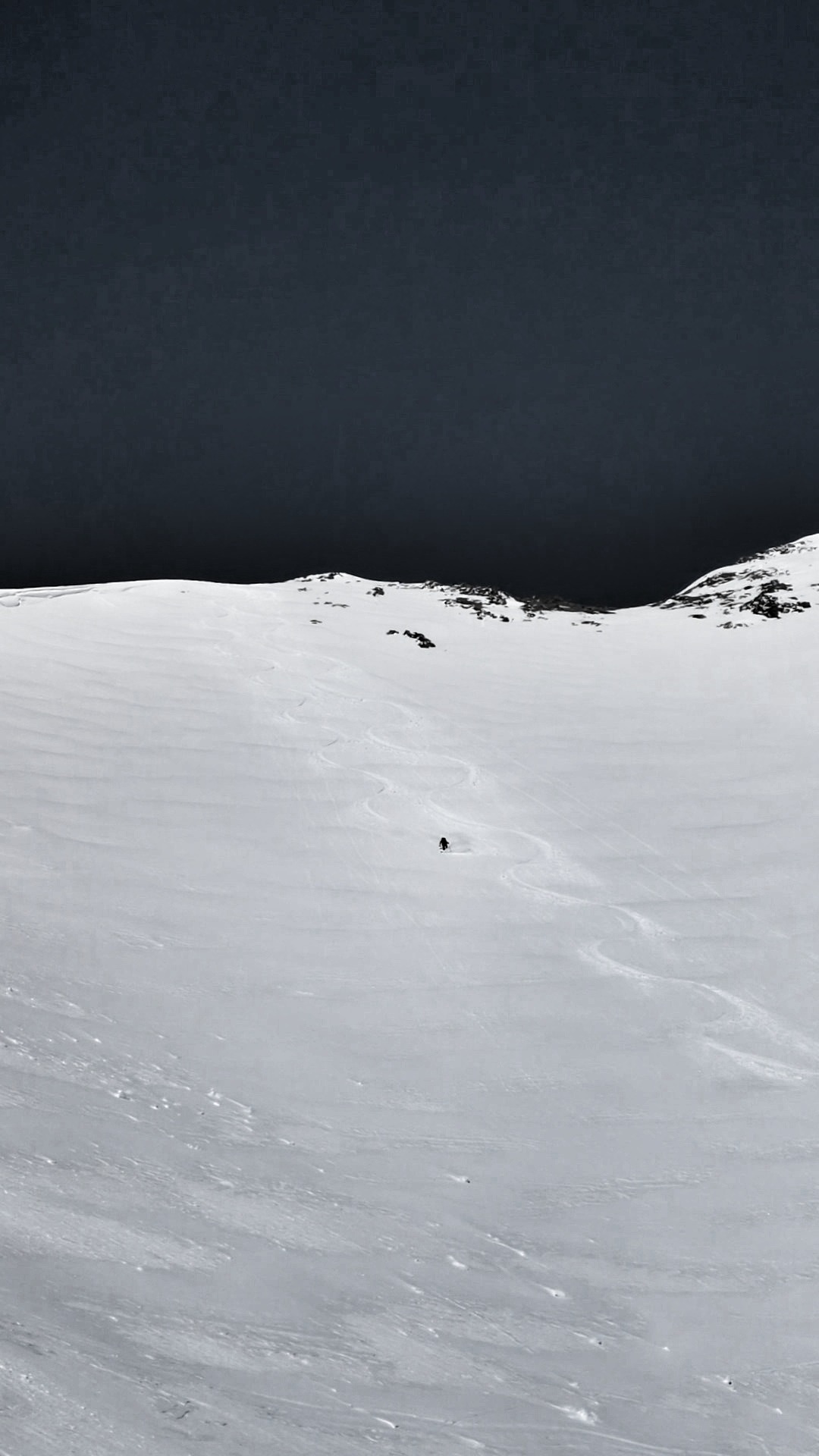
This was a beautifully cold spring day. Snowpack started the day with a very hard refreeze and slopes directly facing the sun at upper elevations did not soften significantly. Middle elevation solars produced some nice corn today. Meltwater produced on 4/16 was still working its way out of the snowpack overnight into 4/18 - there were many ephemeral ice formations that formed during this period in steep, rocky terrain. These were melting/collapsing very slowly and many remained intact throughout the day on 4/18 (photo below). The little brush-by disturbance from Thursday deposited an estimated 2-4 cm of new snow in this area, but it was hard to get a good gauge for how much fell due to the amount of wind redistribution. Winds had blown predominantly out of the N, eroding N slopes and throwing snow onto southerly aspects. We found 15-20 cm of cold, dry, wind-drifted snow at 2 PM on a south aspect that was basking in the sun...a rare April treat!
Weather
- Cloud Cover
- clear
- Recent Snowfall
- 2-4