
Quick report
- Cracking
- isolated
- Collapsing
- isolated
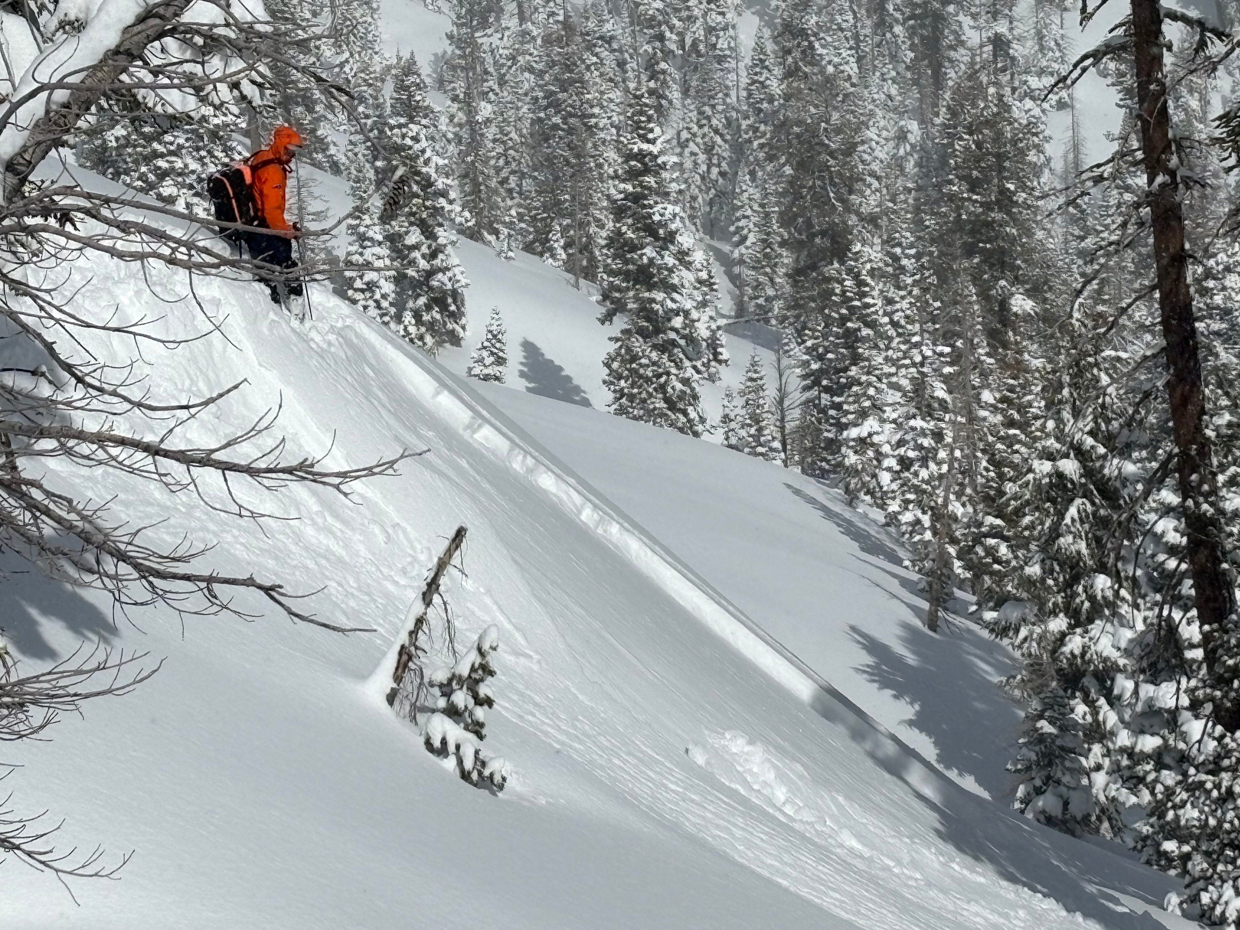
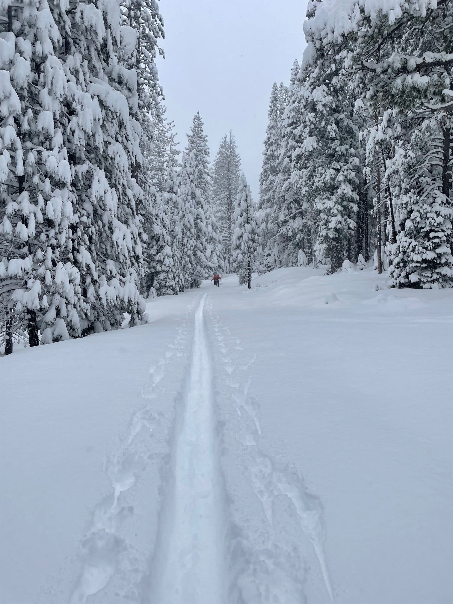
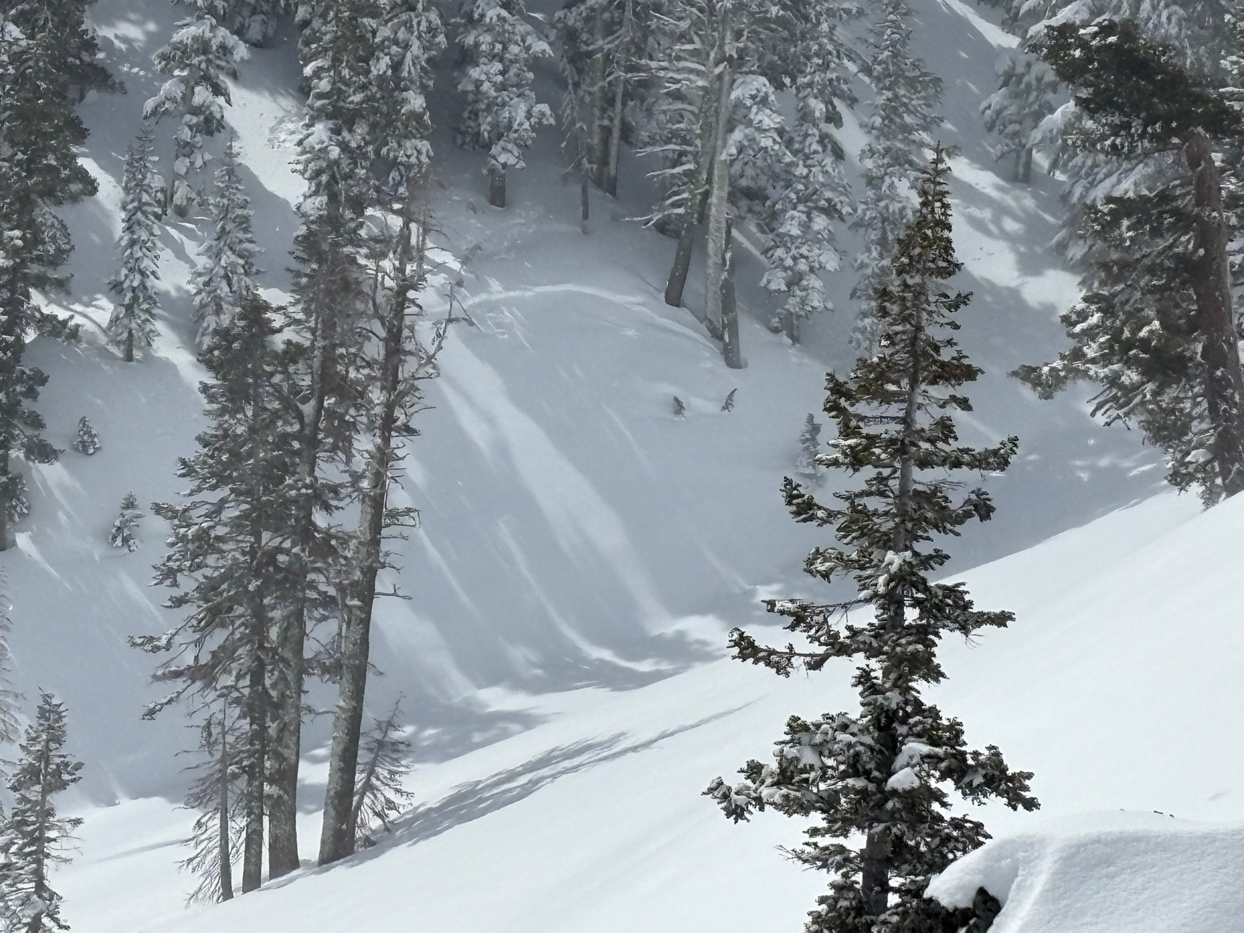
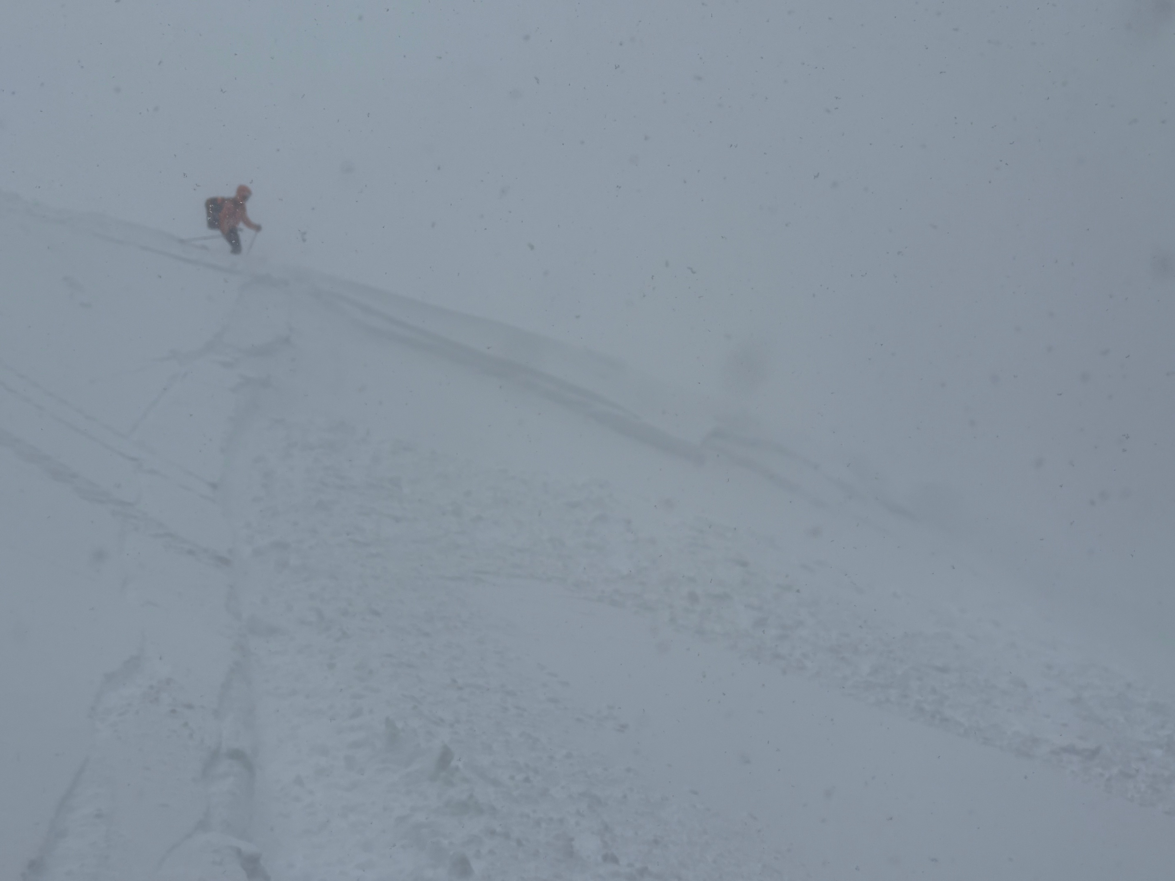
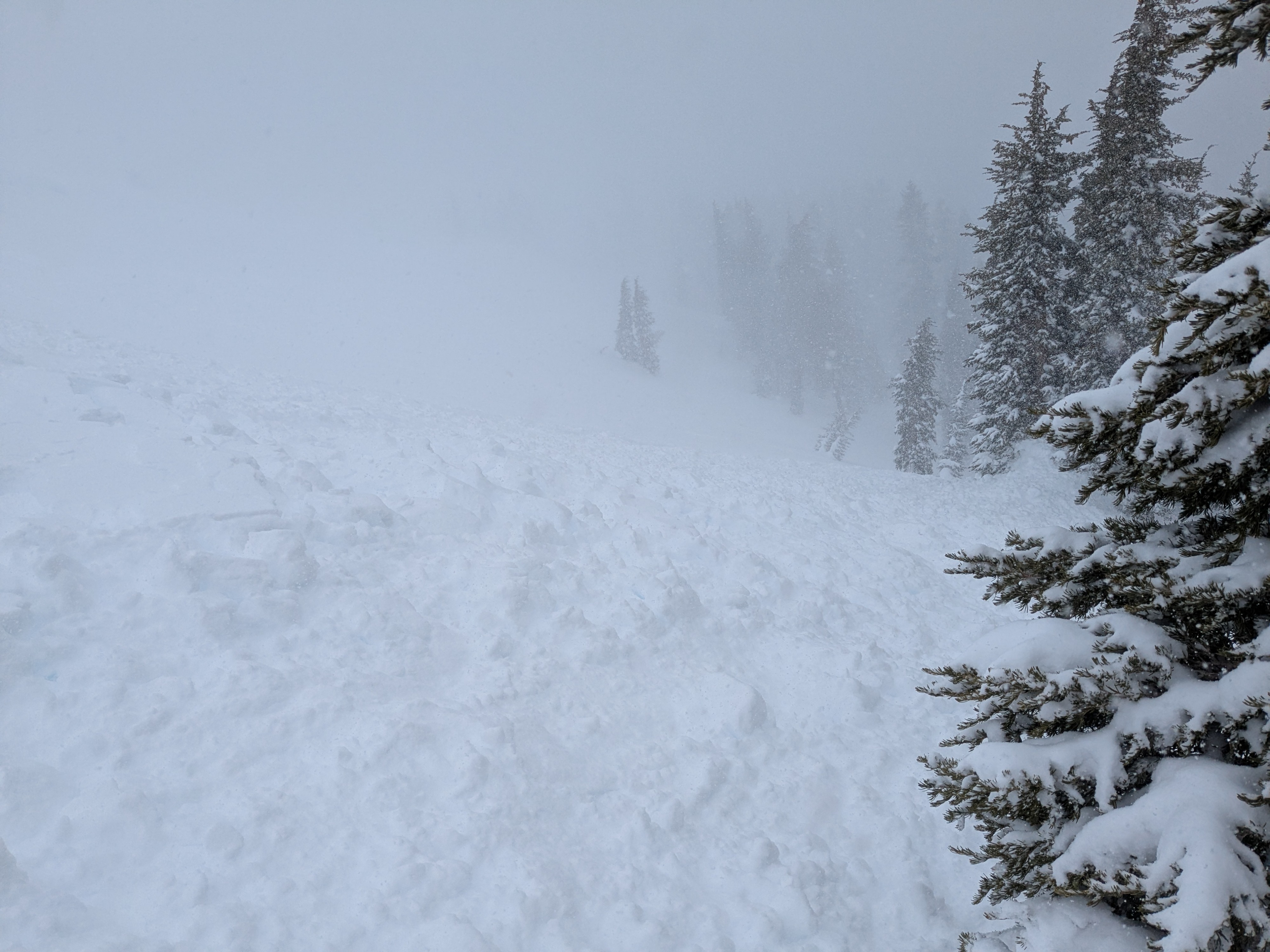
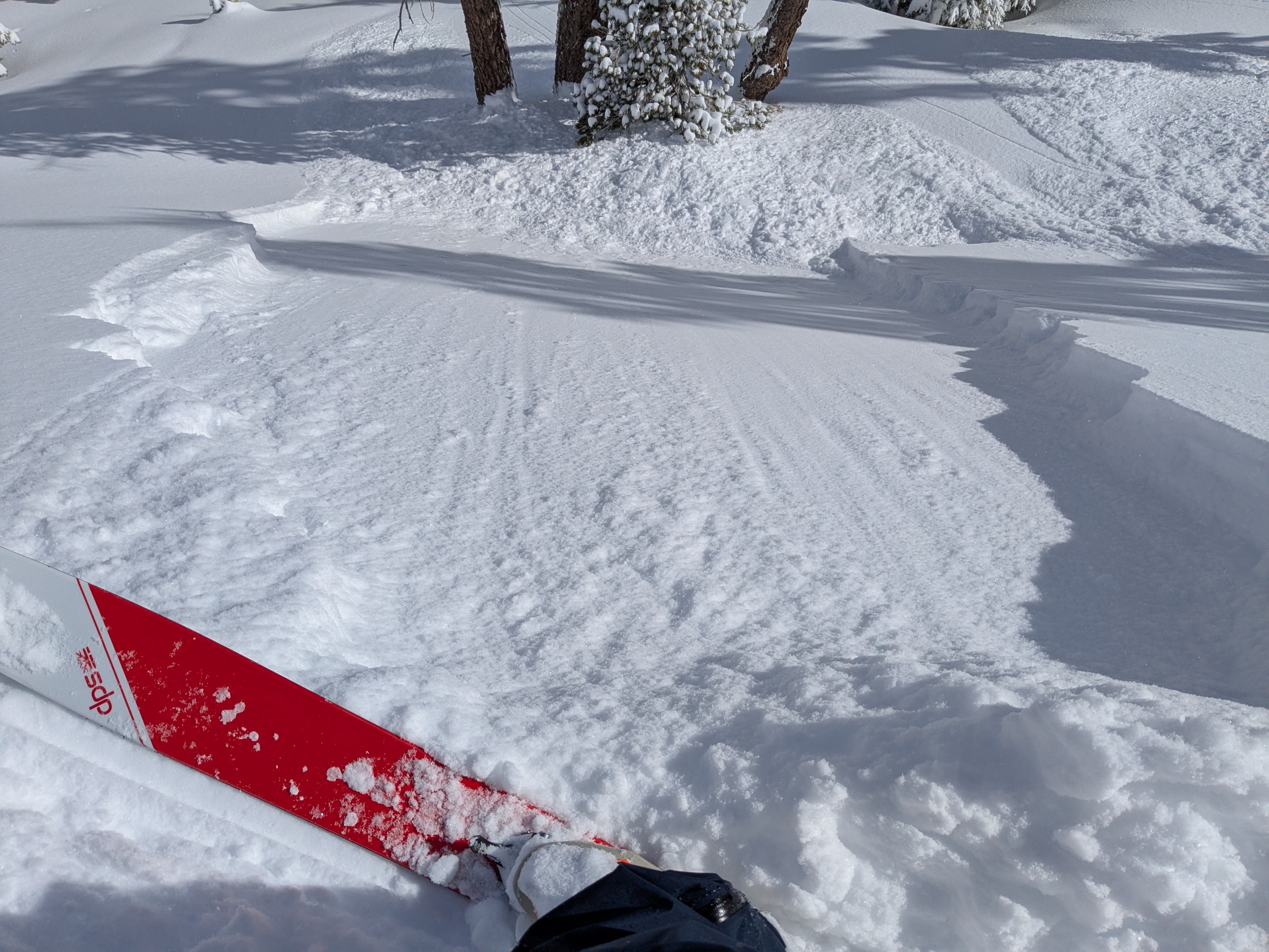
We arrived to nearly 2' of fresh snow at the Pole Creek/Silver Peak TH at approximately 9:00 AM. Skies were overcast, winds were light and it was snowing at about an inch per hour. The goal for the day was to determine the reactivity and potential crown height of storm slab problems, to examine the sensitivity of wind loaded areas and assess the NS/OS bonding. Funny enough, we saw about all the things we were anticipating. At approximately 8,100 feet on a NE facing slope we were able to get a test slope to slide with a short ski cut. The small crown was roughly 4" in height and corresponded to density breaks observed in test pits during the skin up towards the east ridge, a small F- layer above F new snow. Small avalanches were observed on adjacent slopes on both north and south facing terrain that may have released on similar layers. Higher on the slope a second smaller slide on a north facing slope appeared to have released on a deeper layer. More on that in a bit. A test pit was dug on a N facing slope at 8,030 ft. The snowpack was generally strong, fracture planes resulted at 4" from top and at the OS/NS interface. Grains at the bottom of the new snow, including some of the early storm graupel were moist and generally well bonded. After skiing a north facing shot down to second fin, we regained the track. This time, moving slightly higher, we investigated some reactive wind slab on the leeward side of the summit ridgeline that was reactive at the NS/OS interface. This small D1 slide was intentionally triggered and moved down slope for a few hundred feet. The snow today seemed to have the ability to gain momentum and move quickly downslope making for longer than expected runout zones. Below a second test slope showed similar reactivity and produced a crown showing both layers of weakness. After once again regaining the original skin track we poled down and out Pole Creek returning to the vehicle a little before 2:00 PM. We experienced the full gamete of weather including 3' of new snow at NTL, both sunny and overcast skies, no precip, and full 2"/hour convective periods, 35 mph ridgeline winds out of the SW, and calm to light winds in the trees. Wind was transporting snow in ridgeline areas and reactivity was highest in steep wind drifted terrain. The trailhead received 2-3" of new snow during the time of the tour. We observed two layers of instability associated with the new snow. The first approximately 4" down from top where a storm slab density change was reactive on steep terrain (>35 degrees). The upper layer was unconsildated F-, resting on approximately 18-24" of F. This density change was reactive in multiple isolated locations as evidenced by test slopes, small D1 observed avalanches on the adjacent southern slope, and on ski cuts. Again, reactivity was limited to steep slopes and was not larger than D1. The second was on the NS/OS interface. This layer of instability was noted on drifted wind deposited snow where the upper slab was stiffened by wind compaction to 4F in the ATL and NTL elevations. The graupel layer deposited at the beginning of the storm yesterday, and observed at this layer of instability today at ATL and NTL may have contributed to this instability as may have an NSF layer associated with the melt-freeze crust bed surface.
Weather
- Air Temp
- 28
- Cloud Cover
- overcast
- Wind Loading
- moderate
- Rain Elevation
- Approximately 5,500
- Recent Snowfall
- 85
- Snow Avail For Transport
- large amounts
All the weathers. Snow, blowing snow, calm to moderate to high SW ridgeline winds, gusting to the mid-30s. Temperatures in the high 20s.
Snowpack
At our pit location of 8,000 ft. 85 cm of new snow had been deposited by 11:00 AM. The bottom of the new snow was deposited onto a melt/freeze crust. At treeline elevations these lower snow particles were wet to moist for the first 10 cms and the graupel at the start of the storm was not present. At the pit location of 8,000 ft. a graupel layer was observed at the bottom of the new snow. In general the new snow was cold and of moderate density. In areas unaffected by wind a density break of F- over F was observed in the top 4" of the snowpack.