
Quick report
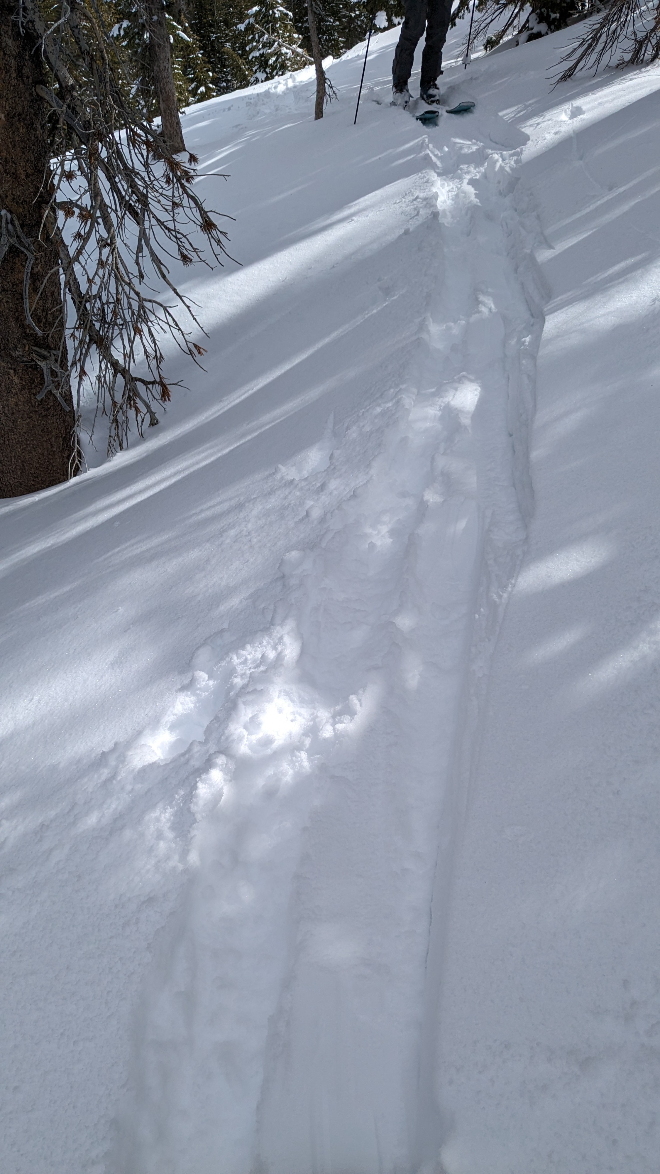
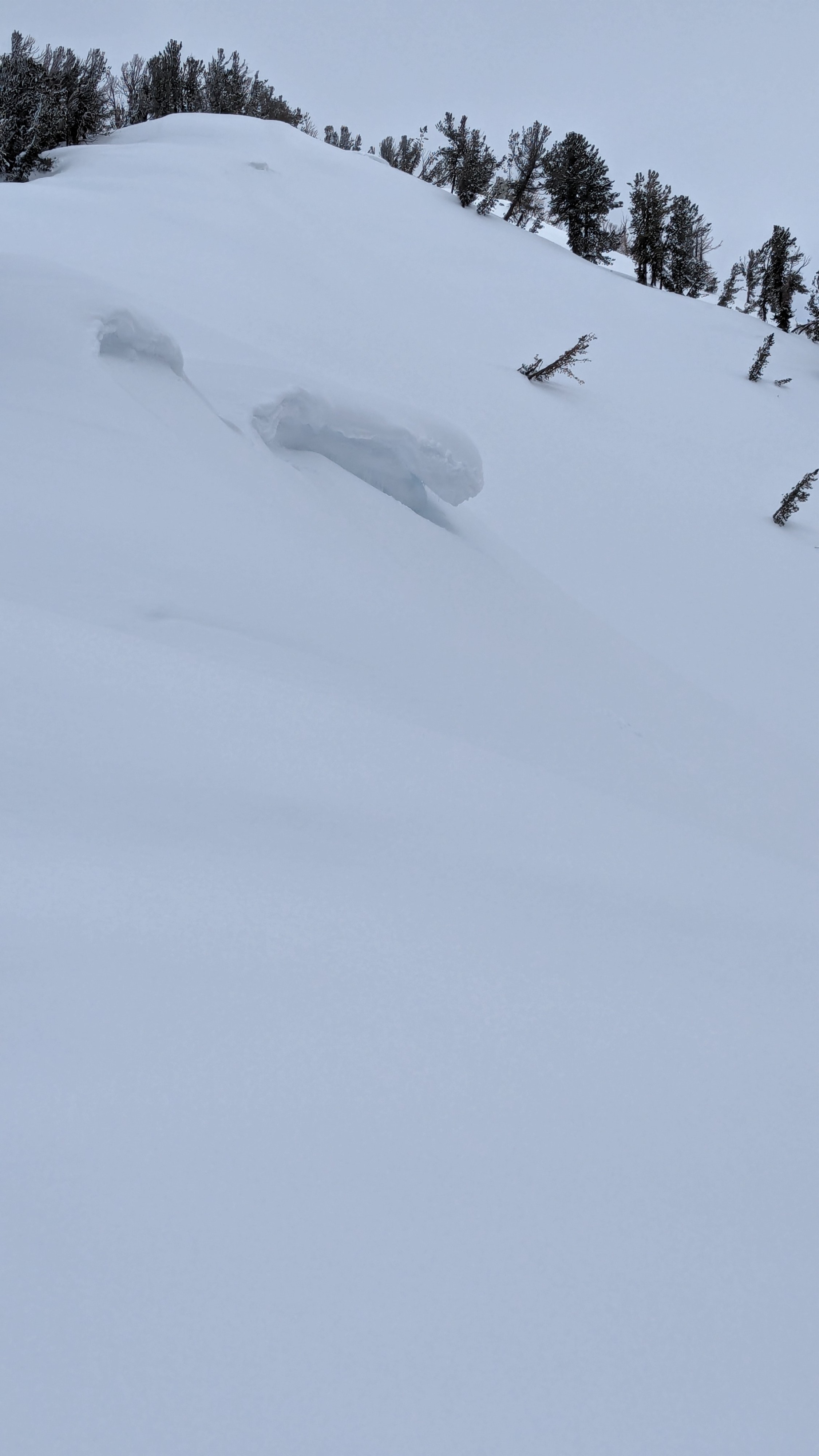
We toured on Tamarack Peak this morning. We made our ascent via the Far East Ridge and looked for signs of wind slab instability along the way. We made informal observations in the vicinity of numerous cornices and wind loaded areas. We found up to 6 inches of wind drifted snow on N-NE-E aspects with no signs of unstable wind slabs presenting.
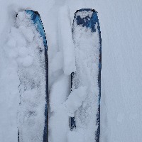
Yesterday's solar radiation had formed sun crust across E-S-W aspect terrain despite a high temp of 22 degrees yesterday at 9,600' on nearby Slide Mtn. This sun crust was breakable in most areas and supportable in a few. Northerly aspects steeper than about 20 degrees in slope angle held 4 inches of unconsolidated recent storm snow that had not been affected by melt or solar radiation.
Cloud cover and cold air temps at this elevation (8,600' to 9,900') kept any surface wet snow from developing prior to our noon departure.
Weather
- Air Temp
- 16
- Cloud Cover
- broken
- Wind Loading
- none
- Recent Snowfall
- 12 cm
- Snow Avail For Transport
- moderate amounts
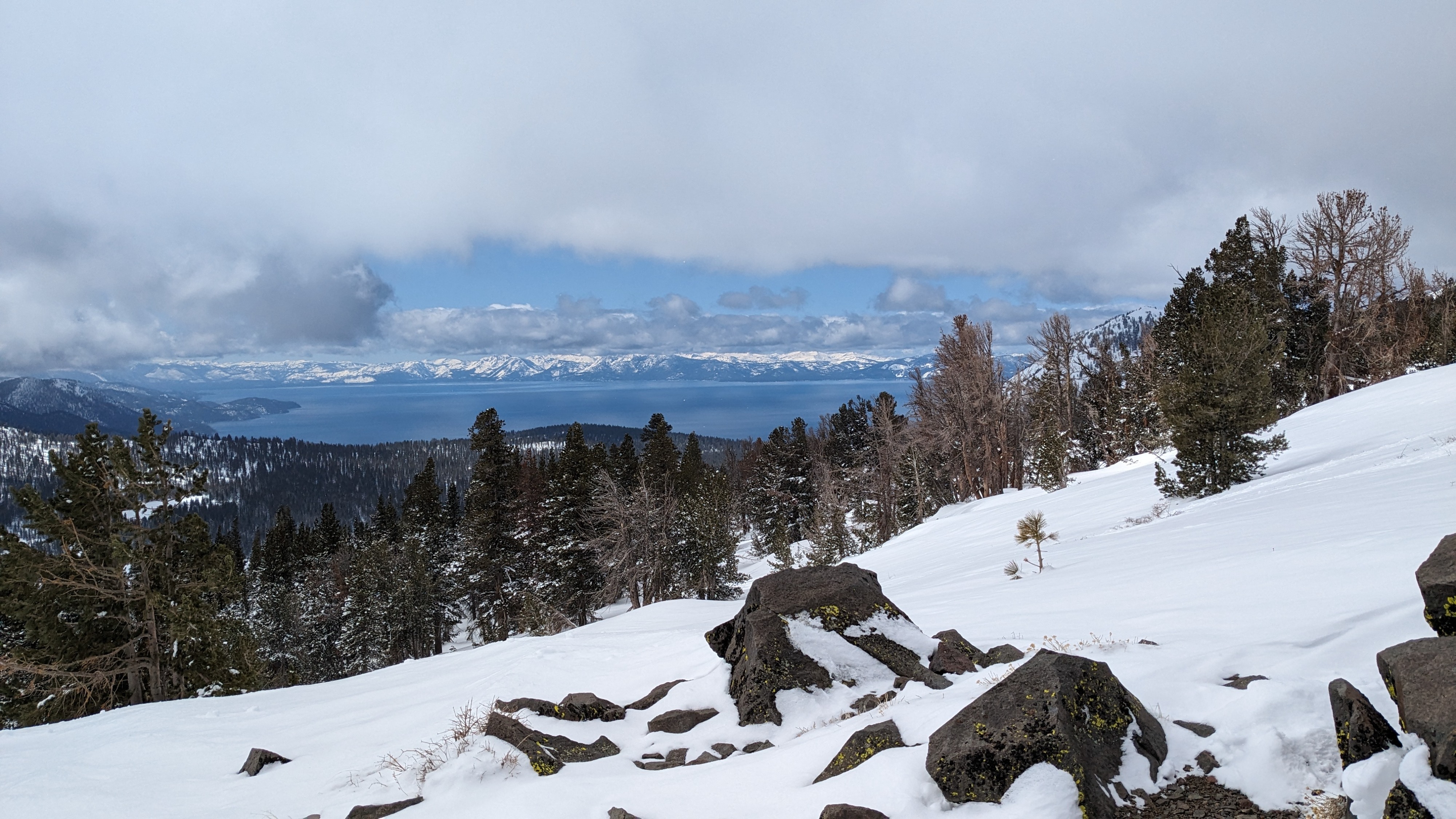
Cloudy skies with 7/8 to 8/8 cloud cover over Tamarack Pk/Mt. Rose/Slide Mountain this morning with periods of very light snowfall. Air temperatures were in the teens for our morning tour. We could see substantially less could cover and sustained sun exposure on slopes along the Sierra Crest on the other side of Lake Tahoe.