
Quick report
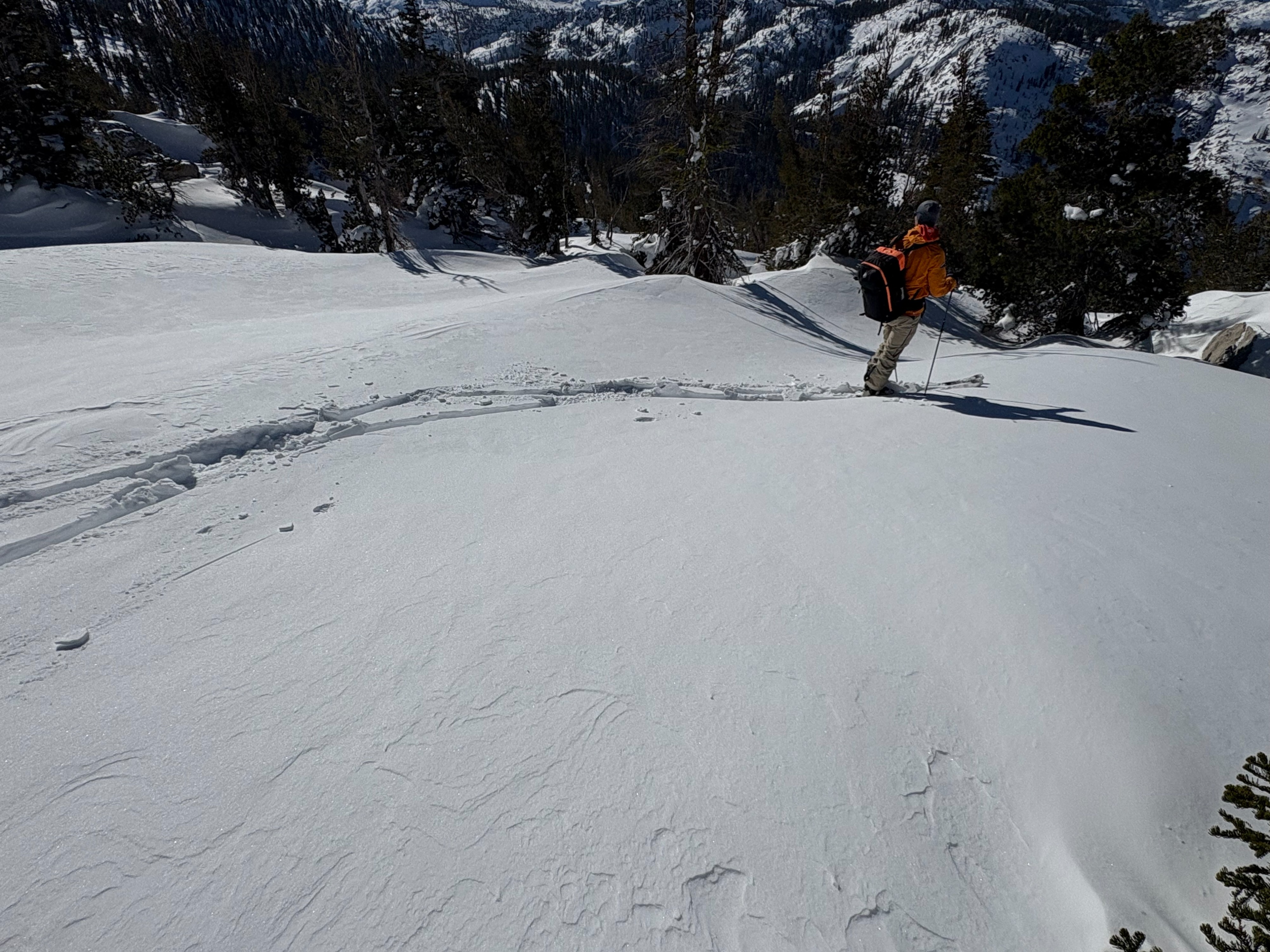
We went to Hidden Peak today to find some soft snow in wind protected terrain. There was up to 4'' of new snow here from the Wed night/Thursday storm. At 7400' there was 2-2.5 feet of snow base with the upper 8'' sitting on top of the Jan 1 rain crust. As we moved up to and above 8000', the snowpack increased with close to 2.5' of recent storm snow on top of the Jan 1 rain crust. Snow coverage becomes thin in this area as you get below 7500' with lots of obstacles present.
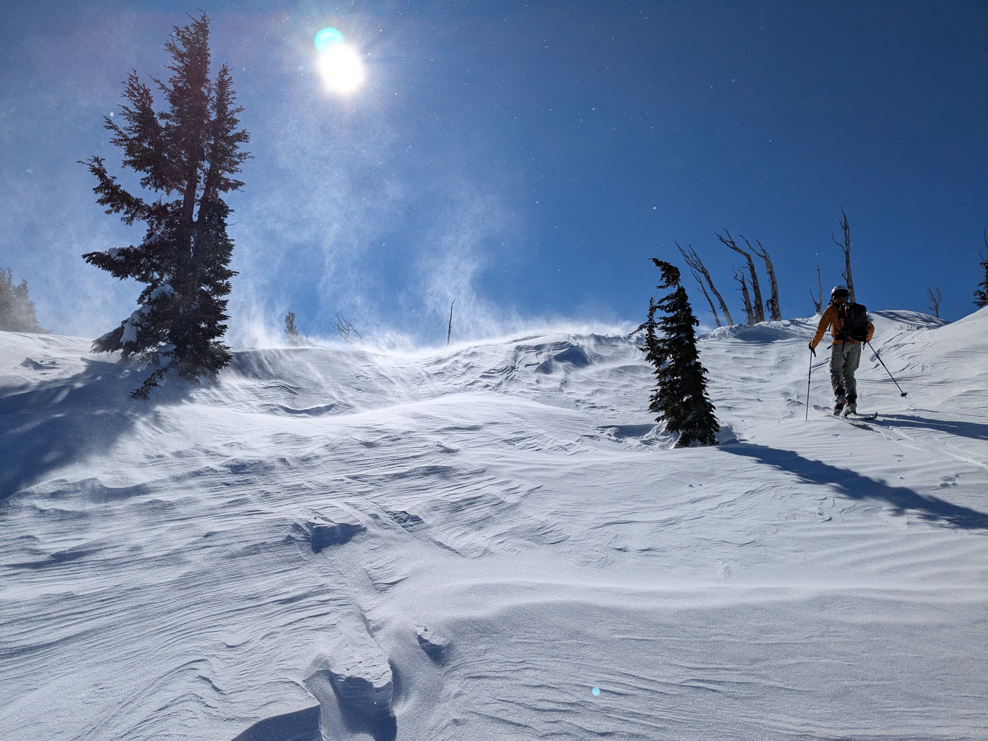
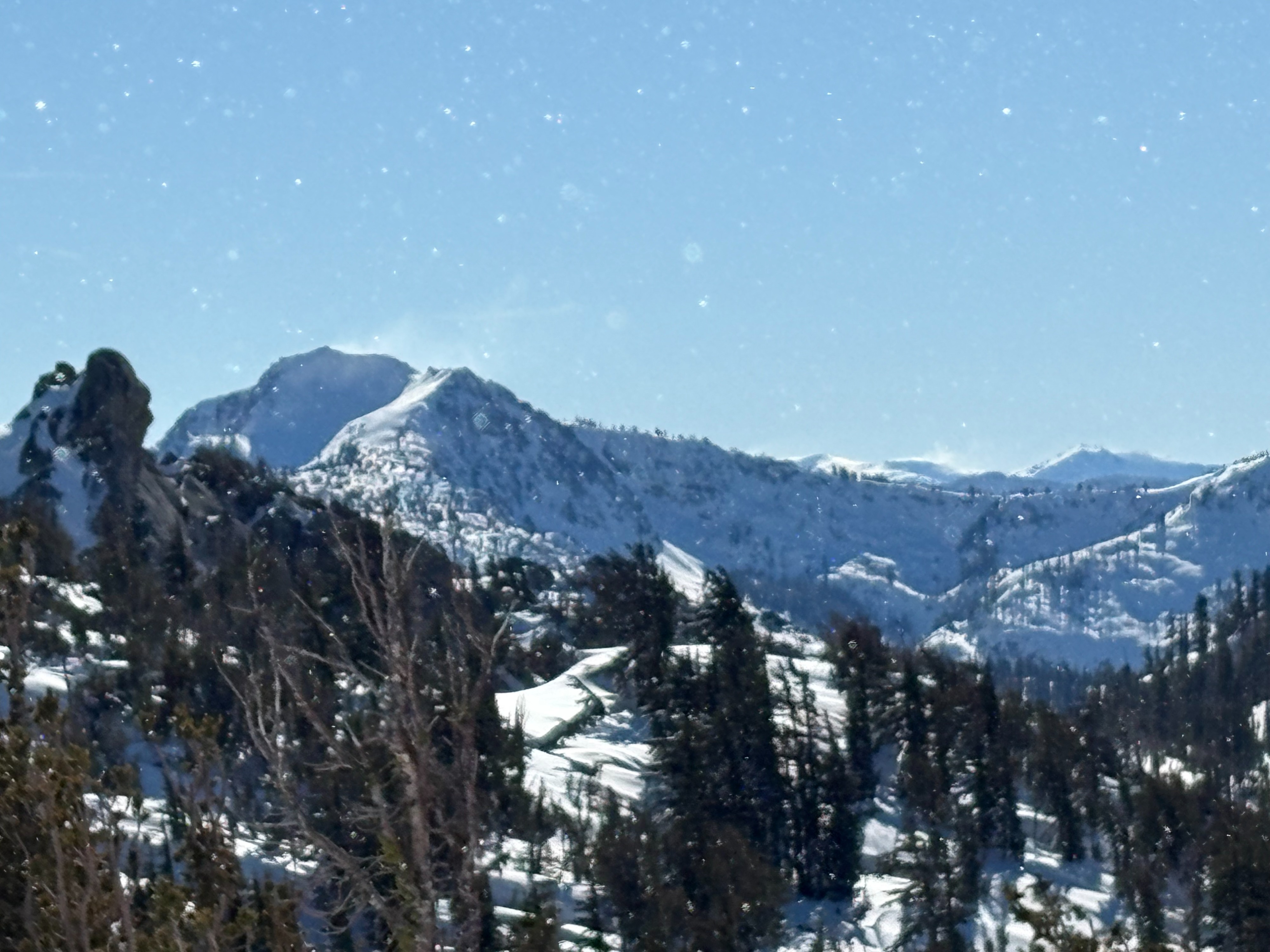
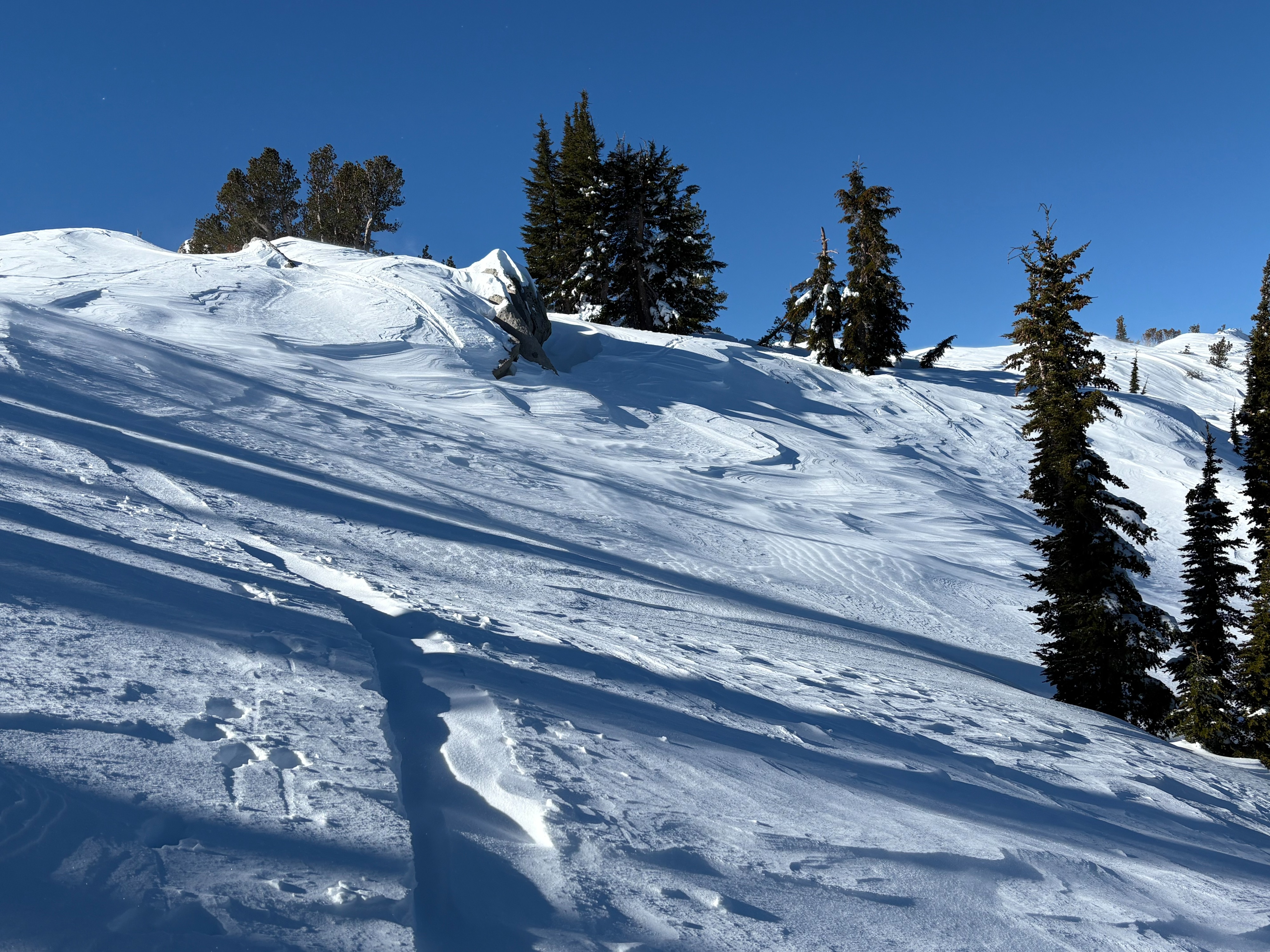
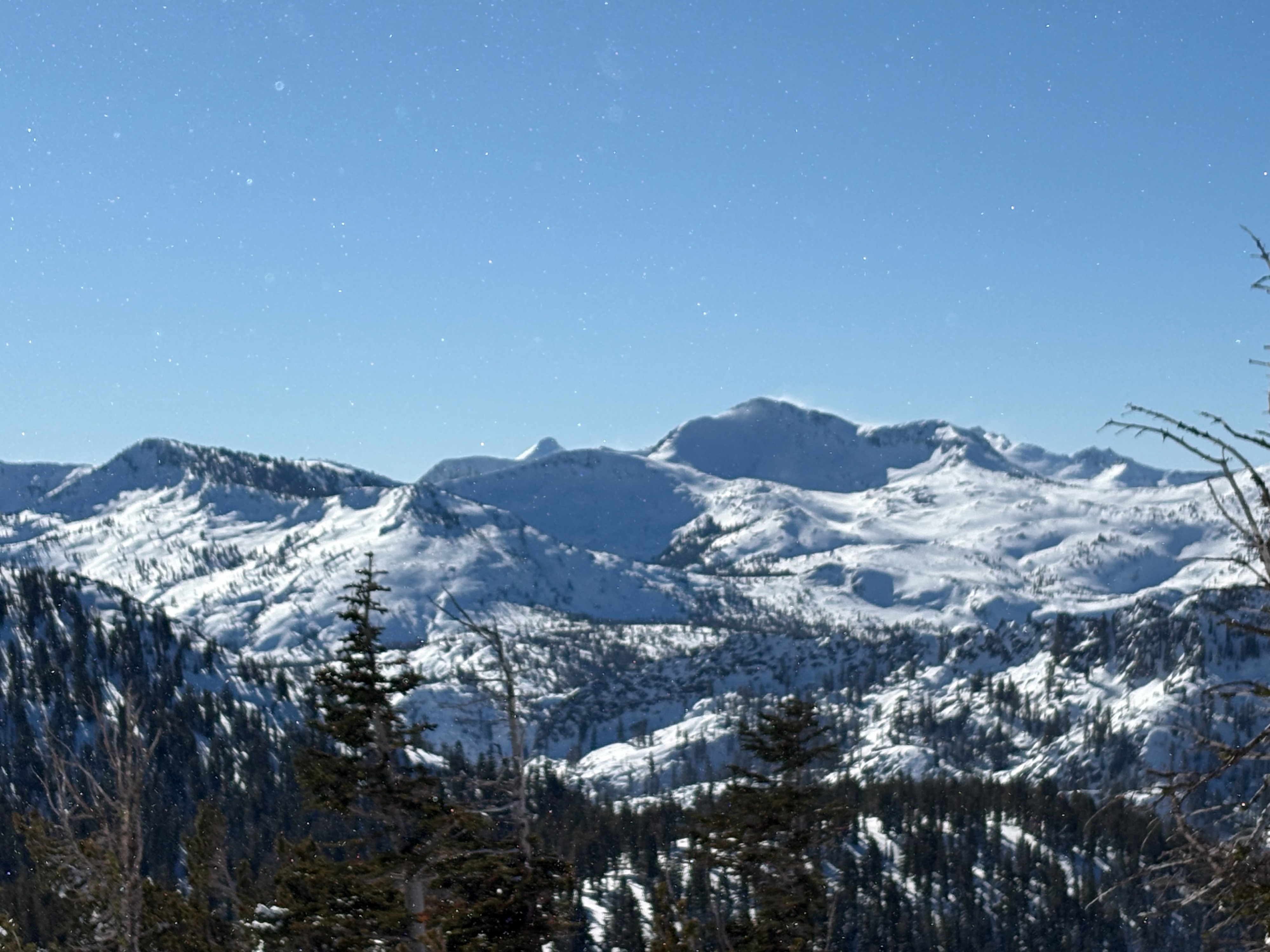
Cold unconsolidated snow exists on all shaded NE-E aspects below treeline in this area. Strong East winds were blowing snow near and above 8500' as we neared the summit ridge of Hidden Peak. Wind scoured surfaces existed on NE aspects with wind blown snow being deposited on the other side of the ridge on SW-W aspects. This wind deposited snow did not extend very far downslope and the terrain in this area was not very conducive to building wind slabs from East wind events. We did see lots of pluming and blowing snow off of most of the higher peaks in the area from the top of Hidden Peak.
Moderate amounts of blowing snow at higher elevation locations from the strong East winds.Weather
- Cloud Cover
- clear
- Wind Loading
- moderate
- Recent Snowfall
- 10
- Snow Avail For Transport
- small smounts
Clear sunny skies with cold morning temperatures. East winds were strong moving moderate amounts of snow at higher elevation exposed locations.