
Quick report
- Collapsing
- Observed
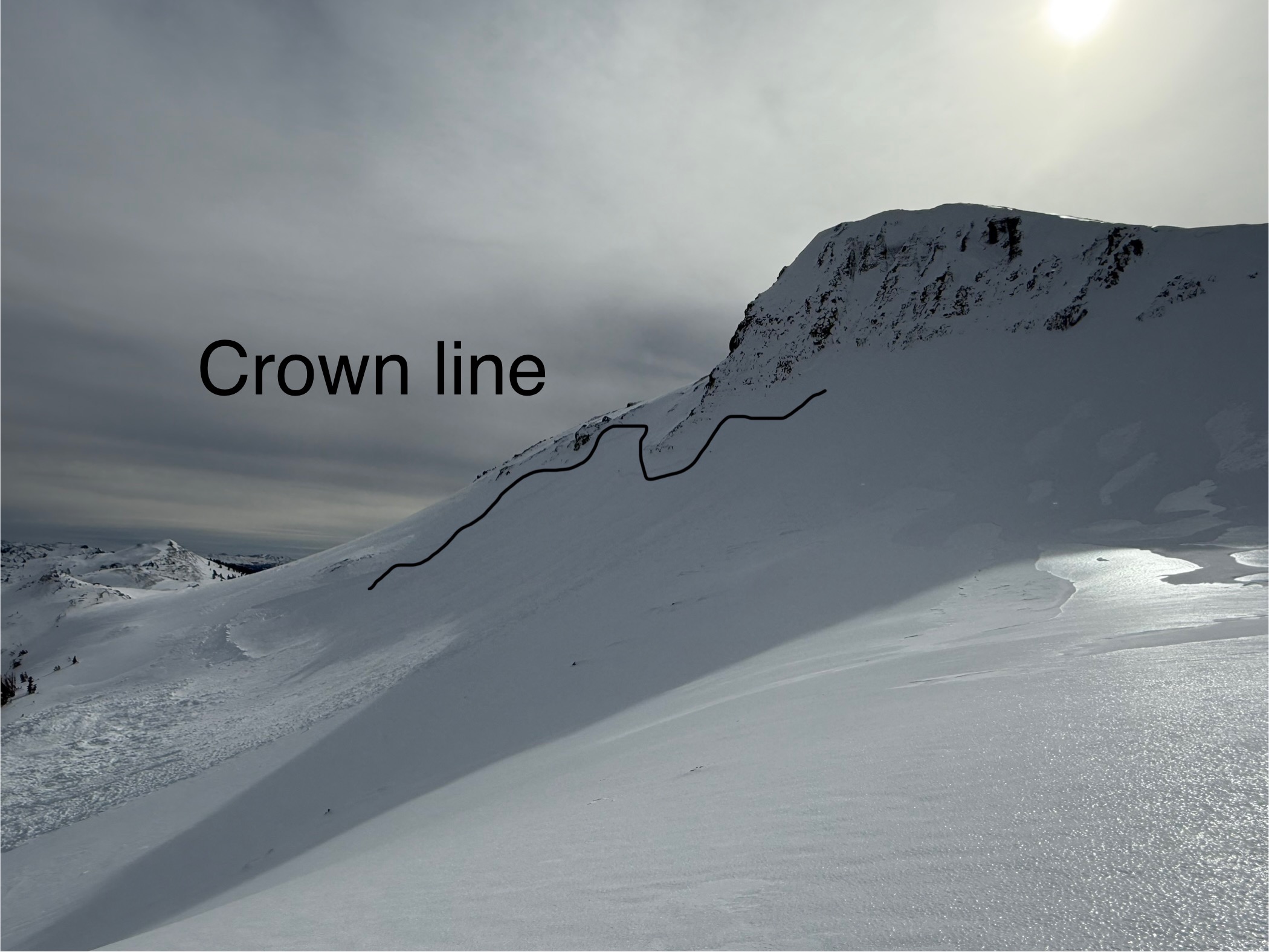
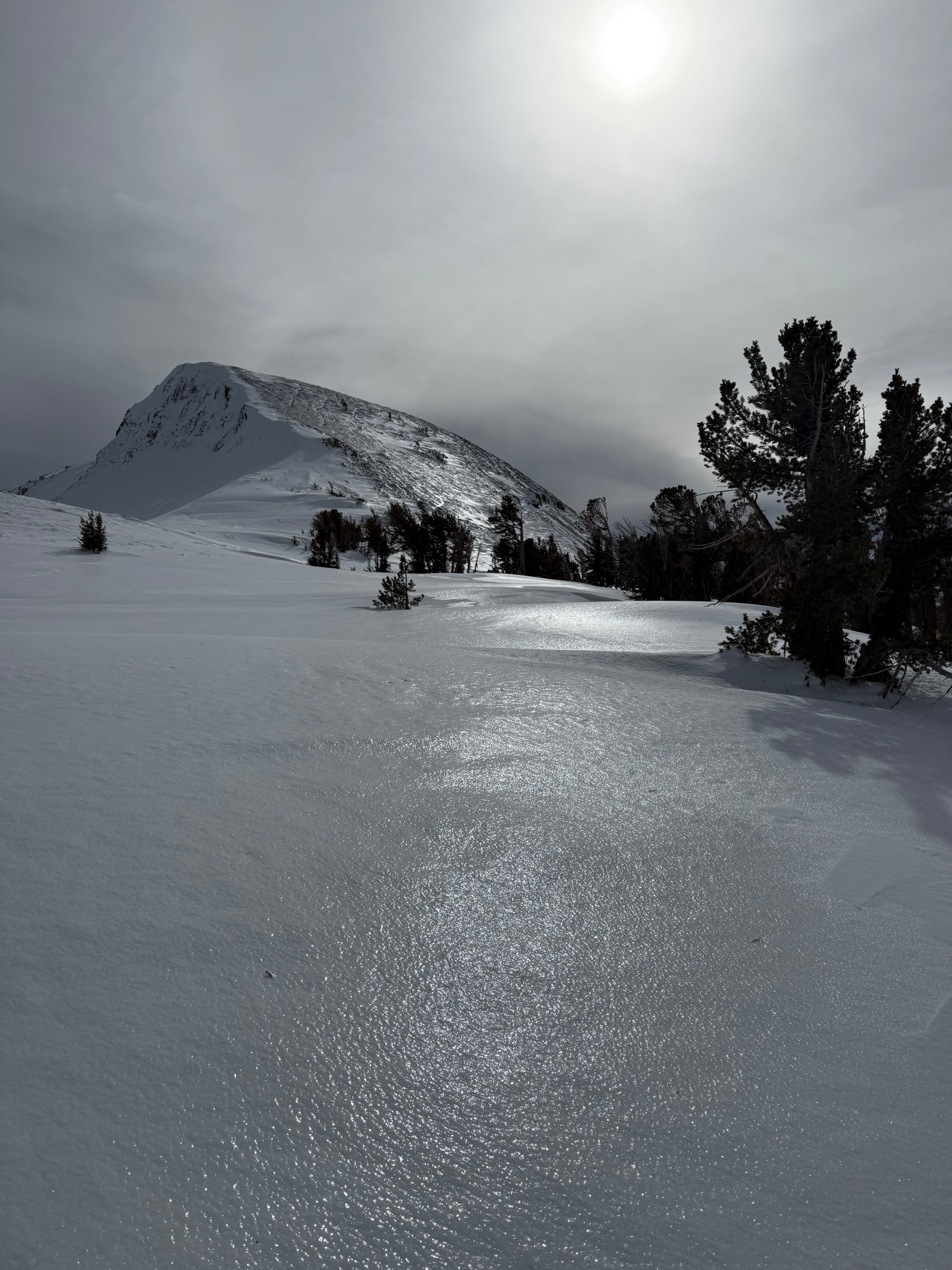
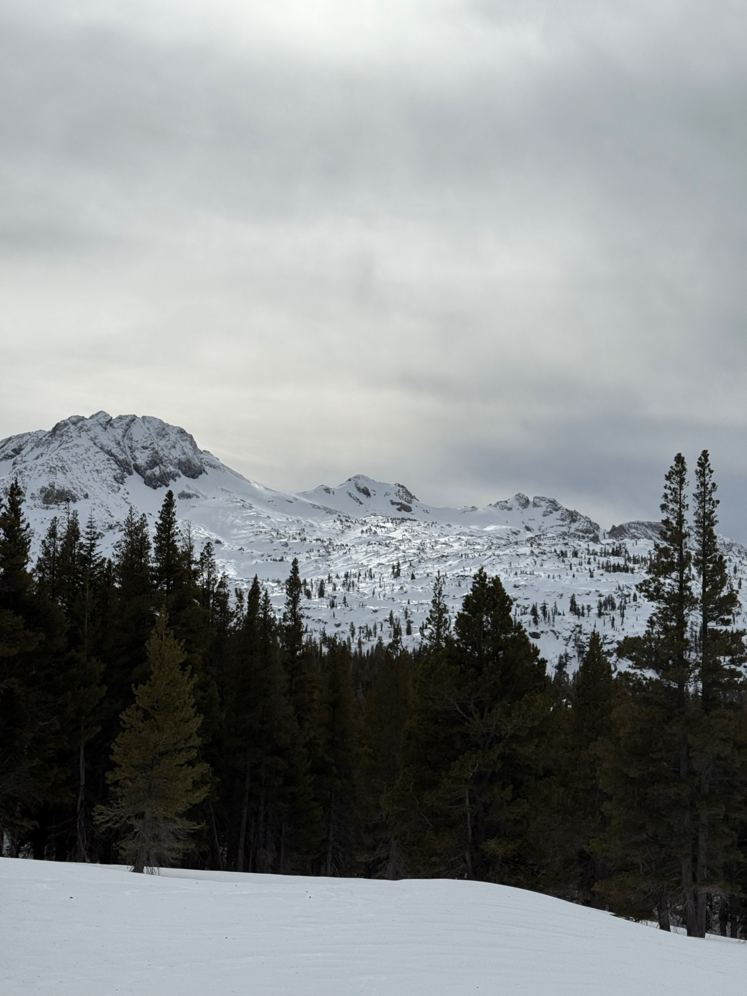
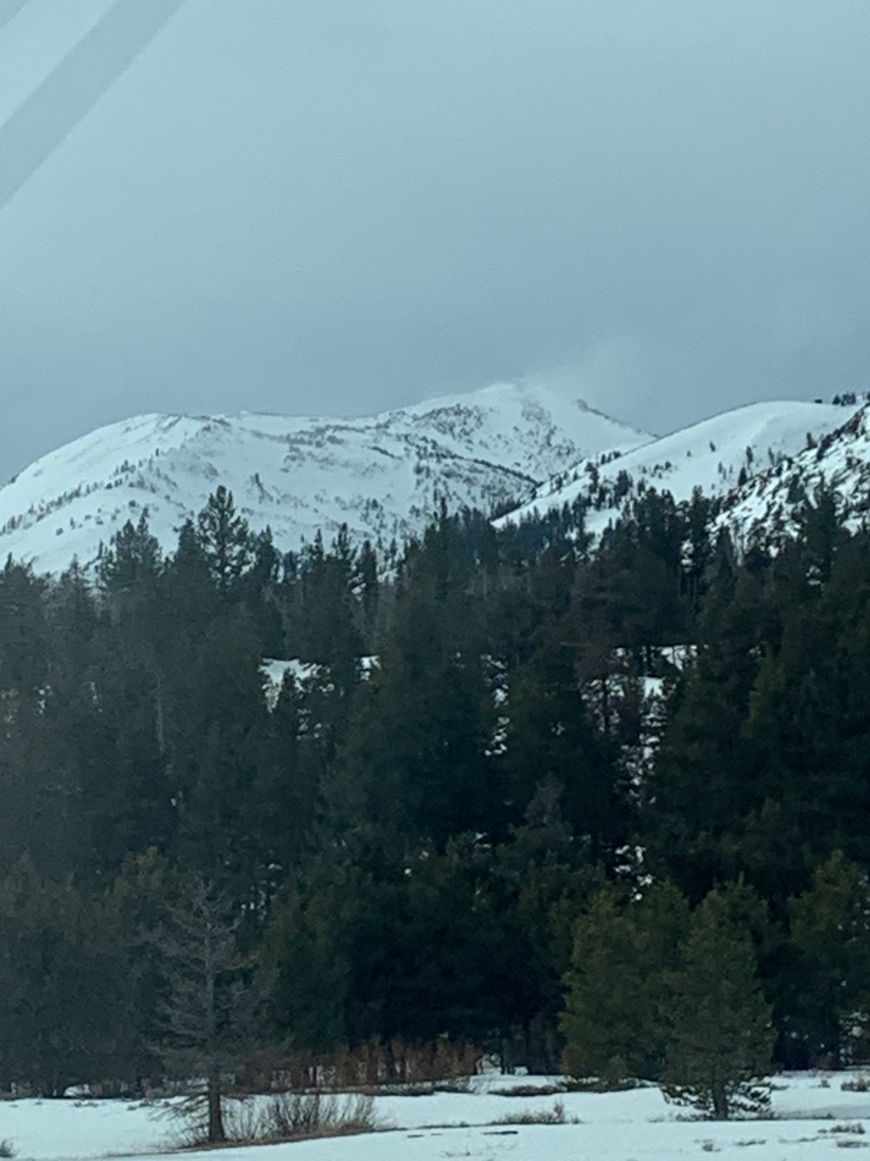
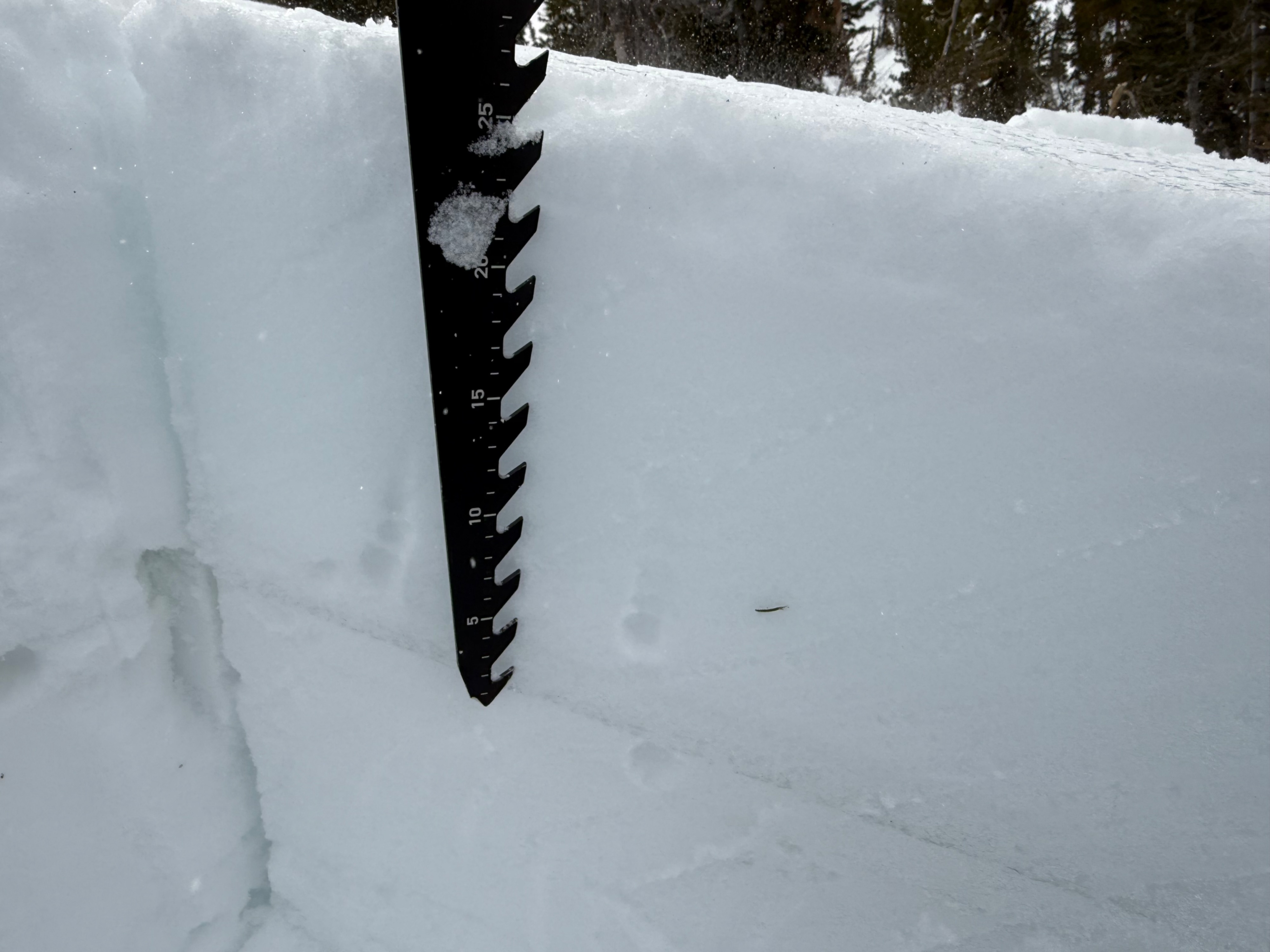
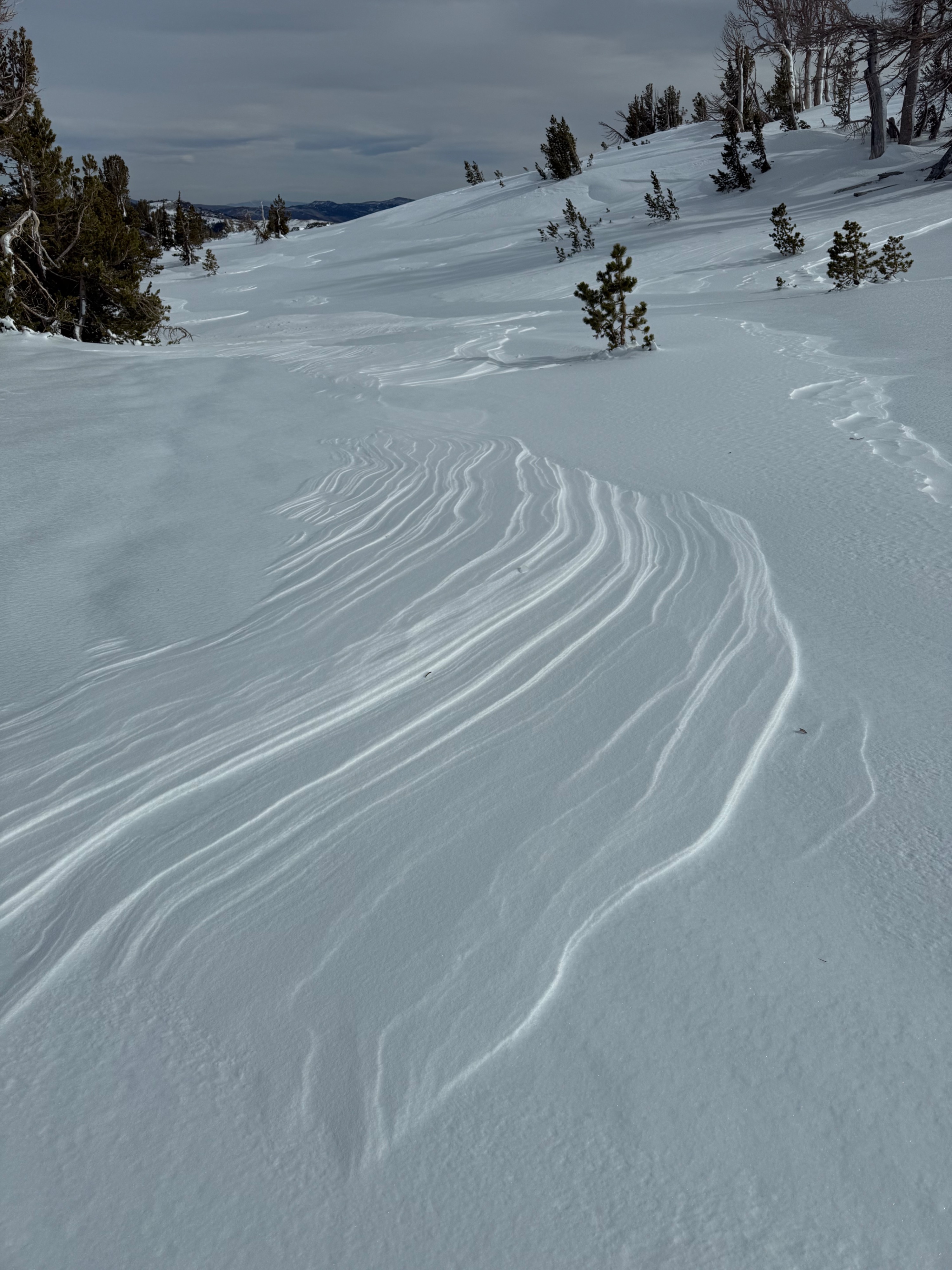
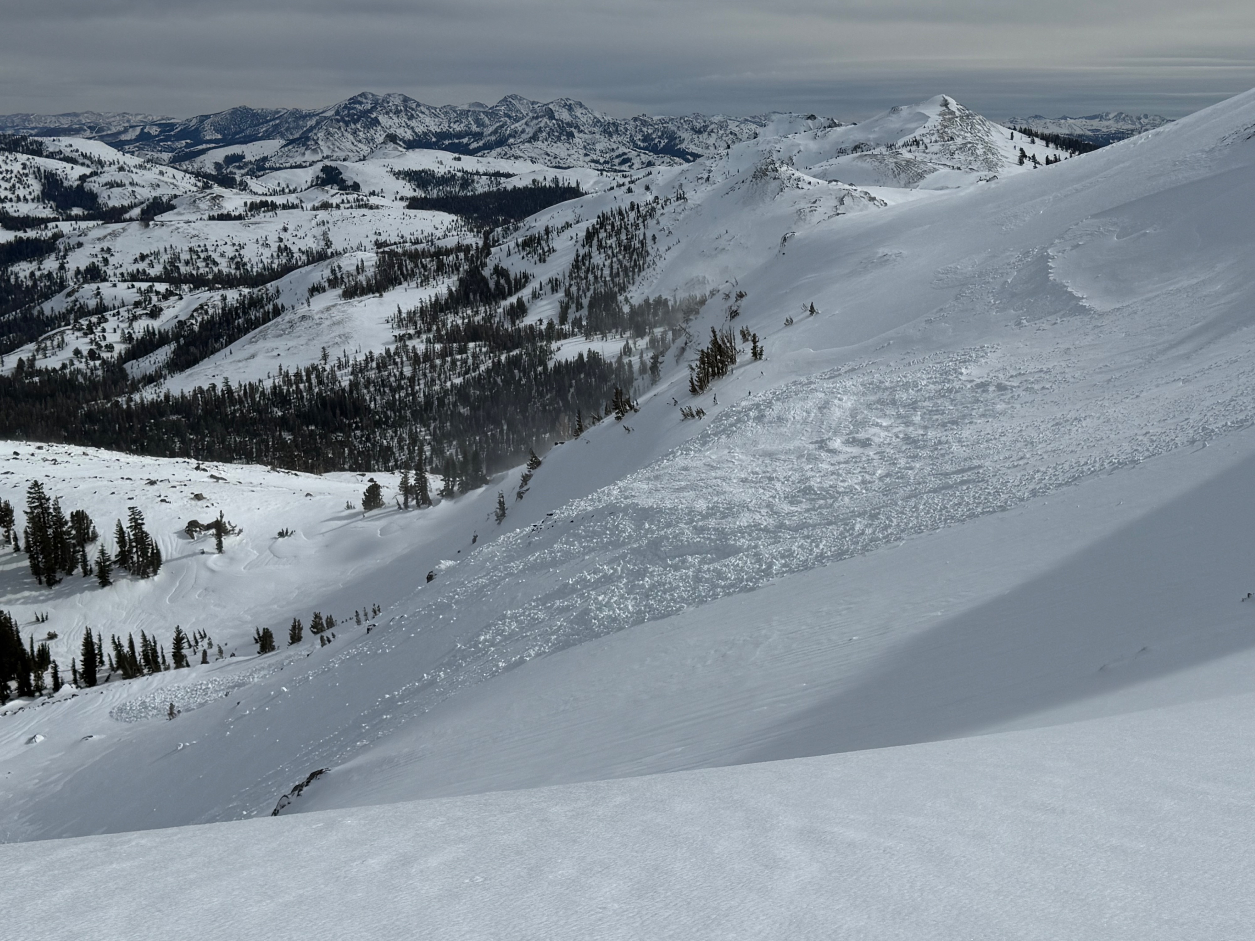
We headed out to Elephants back today. On the drive up through Hope Valley, we could see large banners of snow off of Steven's Peak and Red Lake Peak. As we continued going up the pass and got an eye on Elephants back, the usual suspect strikes again and we could see a very large avalanche on the main face. When we got to the snow park, the wind was blowing intensely and snow was being transported in almost all directions throughout the afternoon. As we started our tour, the landscape was filled with rain runnels that were frozen from the surface rain crust The rain crust was widespread on all aspects. We could see the glare all the way to the top of Round Top peak. As we continued up, we found a spot to dig a pit on a northwest aspect at about 8800 feet. The top 35 cm was a mix of wet saturated snow, hard ice crusts and a cohesive slab. We performed extended column test and propagation saw tests. The ECT only resulted in ECTN results at the new old snow interface The propagation saw test did collapse, but did not slide off the column. PST 45/100 END. The wet snow above the Jan 31st buried facets was resistant to movement. From there, we traveled out to Elephants back to investigate the avalanche. Along the way, the landscape continued to be a hard icy supportable surface all the way out. The avalanche on the main face was large in scale with wide propagation. ( see Avalanche details above) The wind continued to blow throughout our tour, making for small piles of intermittent snow patches within the landscape and continued to scour whatever snow was left. On the drive down the pass we did see roller balls and wet avalanche debris on elephants hump in lower elevations below.
Weather
- Air Temp
- Above freezing
- Cloud Cover
- overcast
- Wind Loading
- moderate
- Rain Elevation
- ~10,000'
- Recent Snowfall
- 0cm
- Snow Avail For Transport
- small smounts
Overcast high gray skies with warm ambient air temperatures. Wind was mostly moderate with periods of very strong/hurricane force gusts!