
Quick report
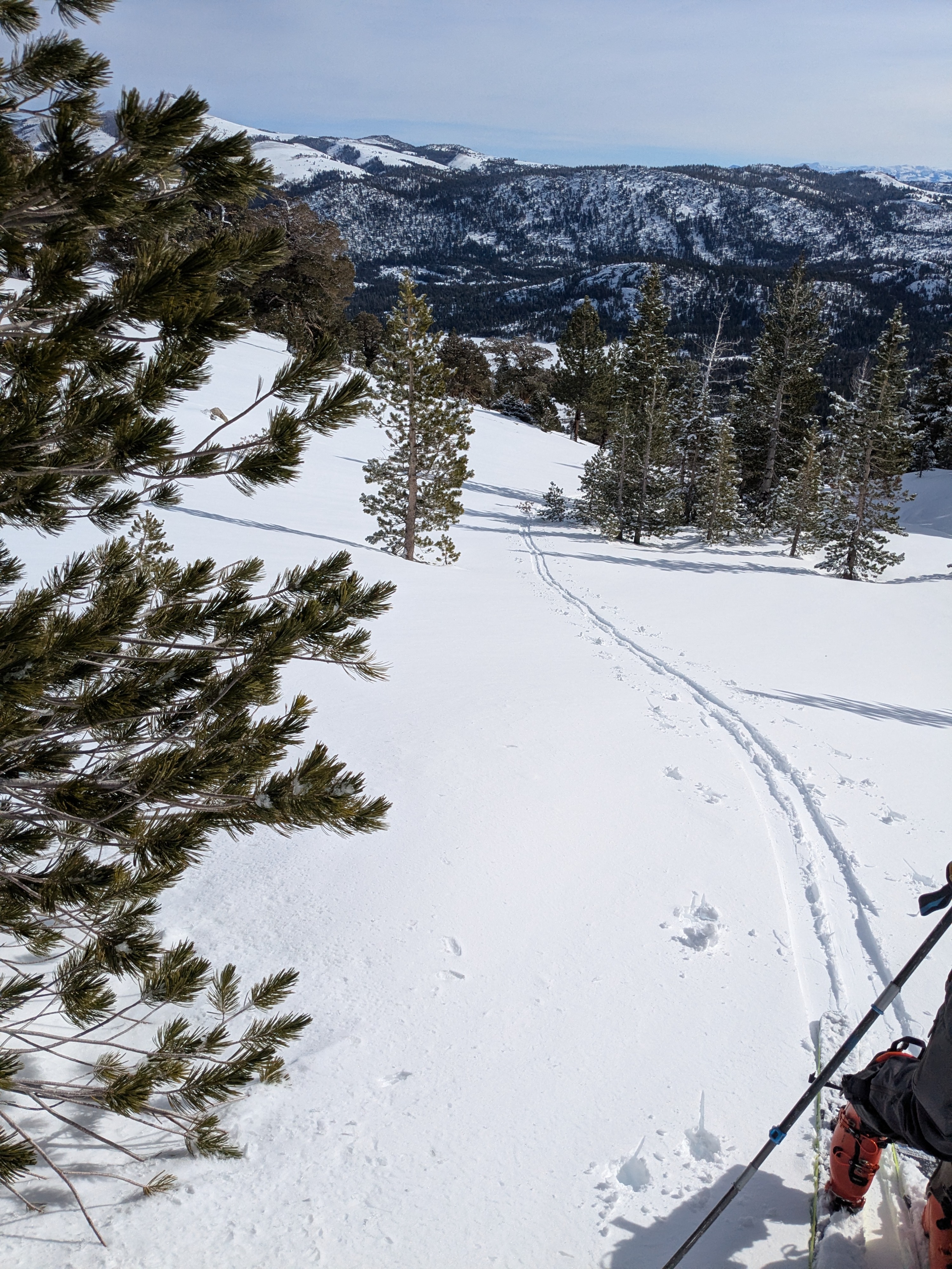
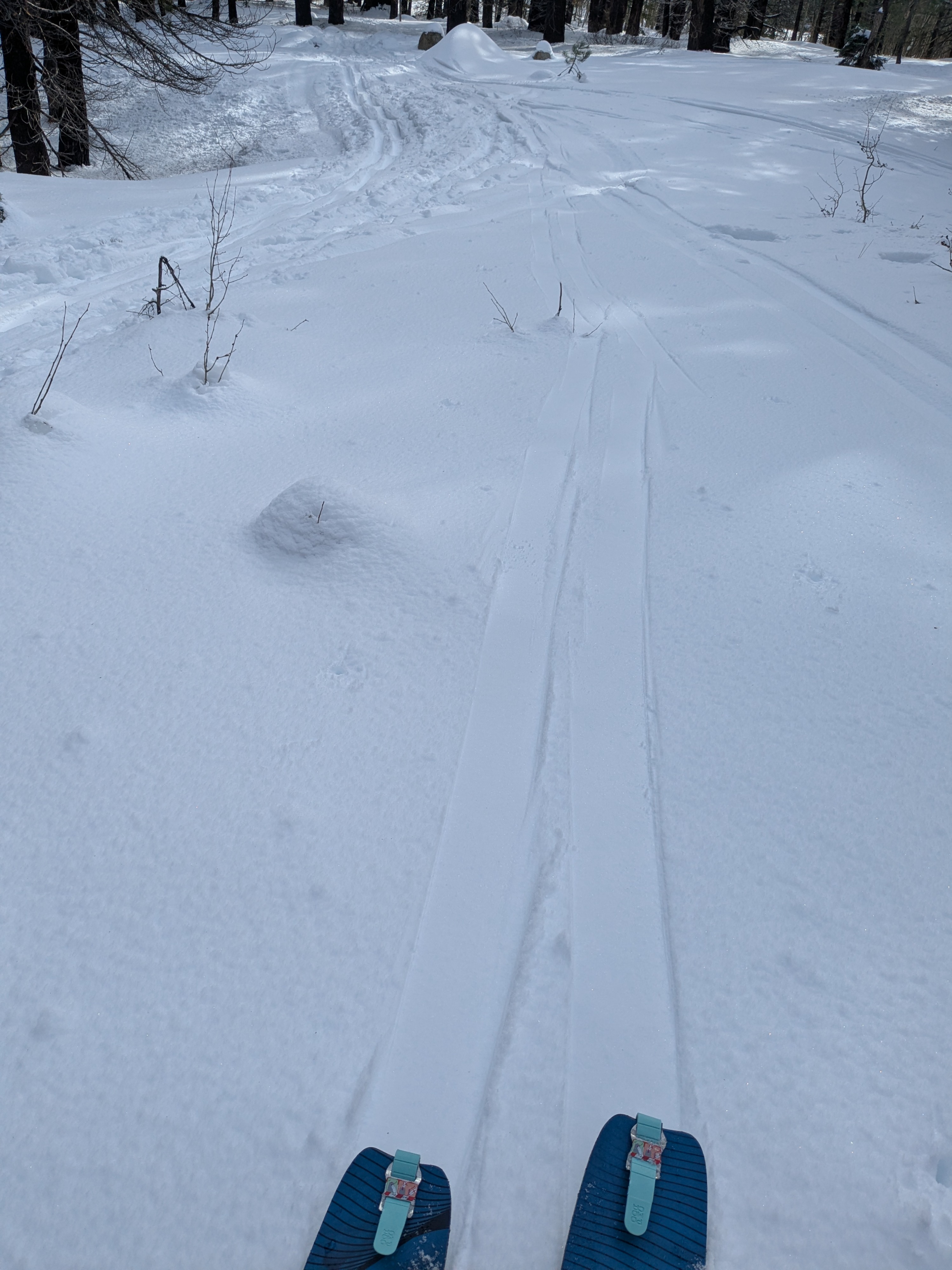
We toured the drainage on the south side of Stevens Peak, looking at new snow amounts, rain crust, and wind slabs. Adjacent to Hwy 88 at the parking area, there was about 1/2 inch of new snow on top of the Jan 1 rain crust. As we ascended, new snow amounts on top of supportable rain crust were 2 inches at 8,400' and 4 inches at 9,300' and above. The Jan 1 rain crust ranged from 1/2 to 1 inch thick, decreasing in thickness with elevation. The rain crust was supportable in all areas traveled during the morning hours. As we descended back below 8,600' in the early afternoon, the surface snow on SE aspect terrain was starting to undergo melt. This became more prominent in all but the most heavily shaded areas as we descended back to our starting elevation at 7,400'.
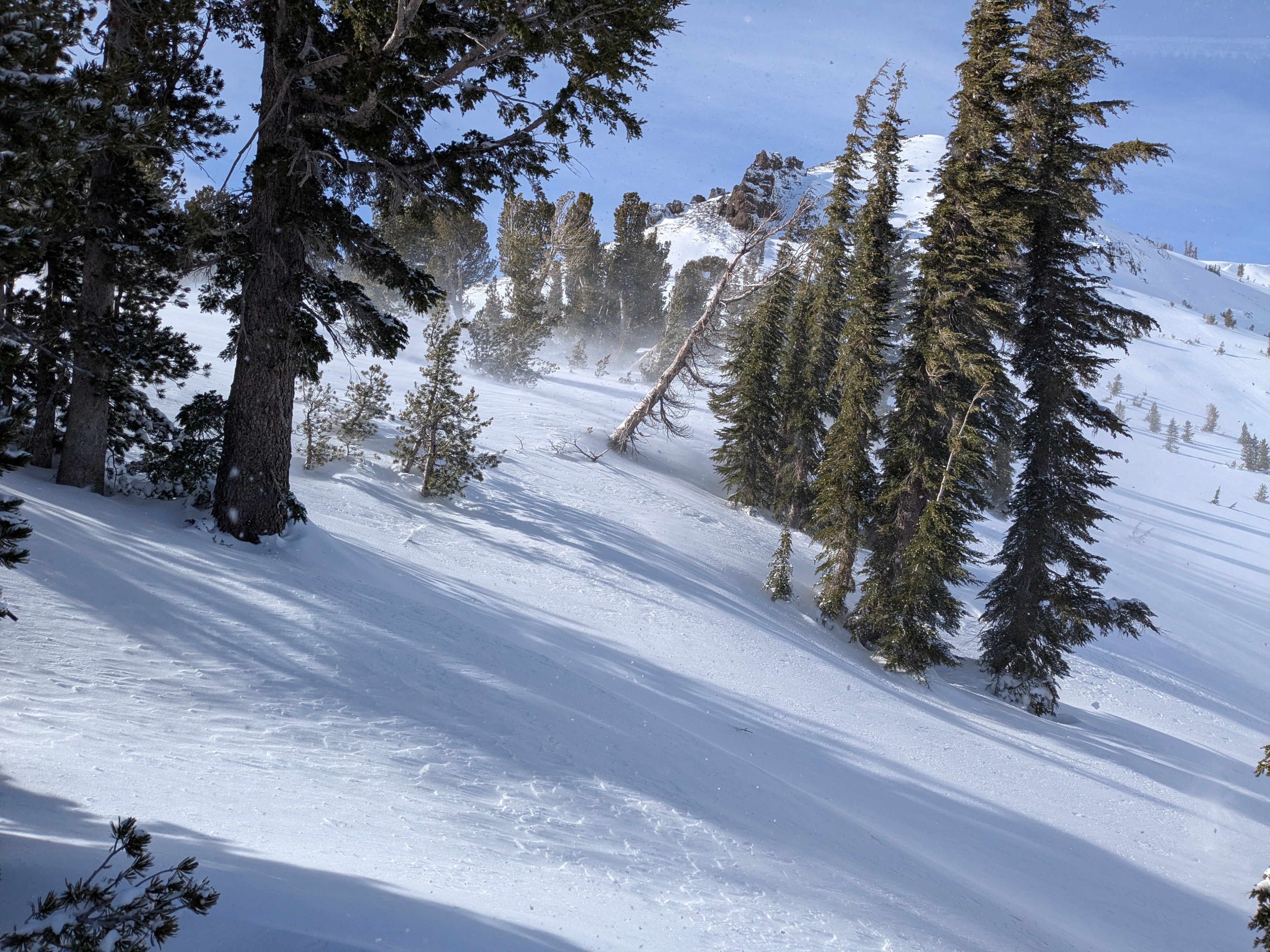
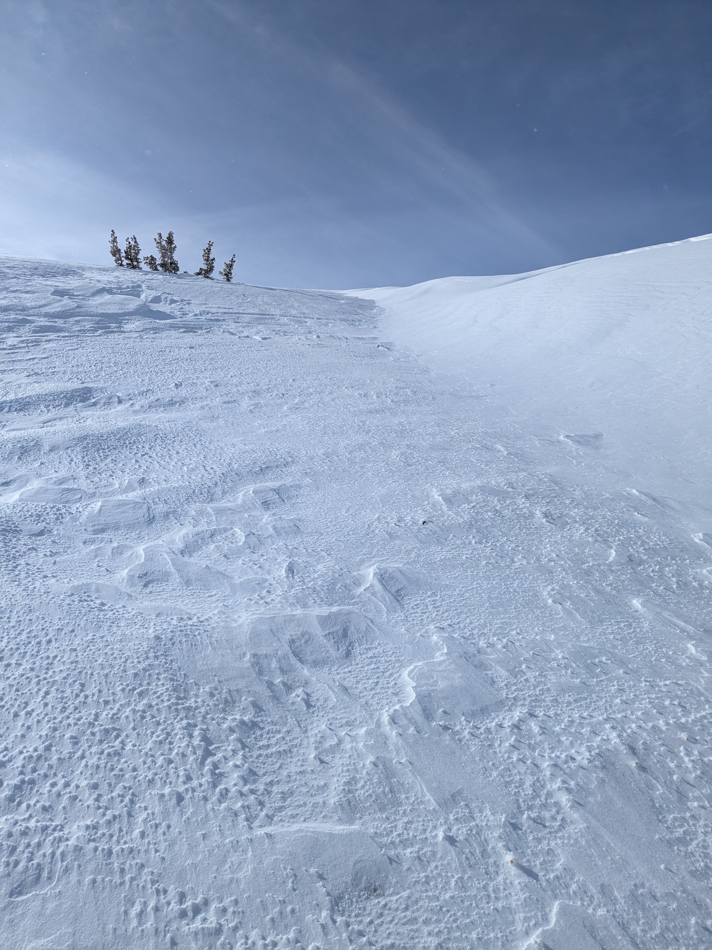
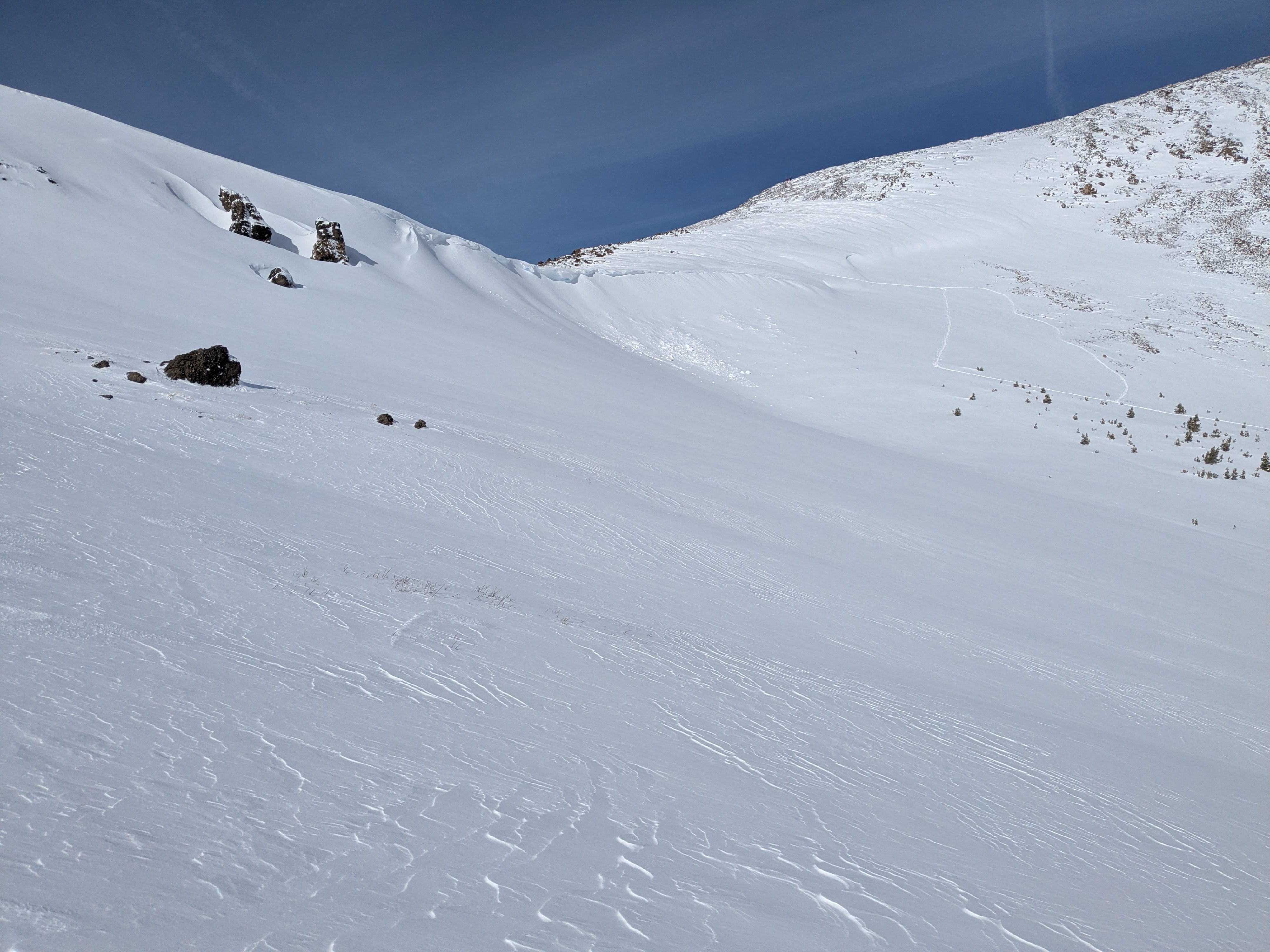
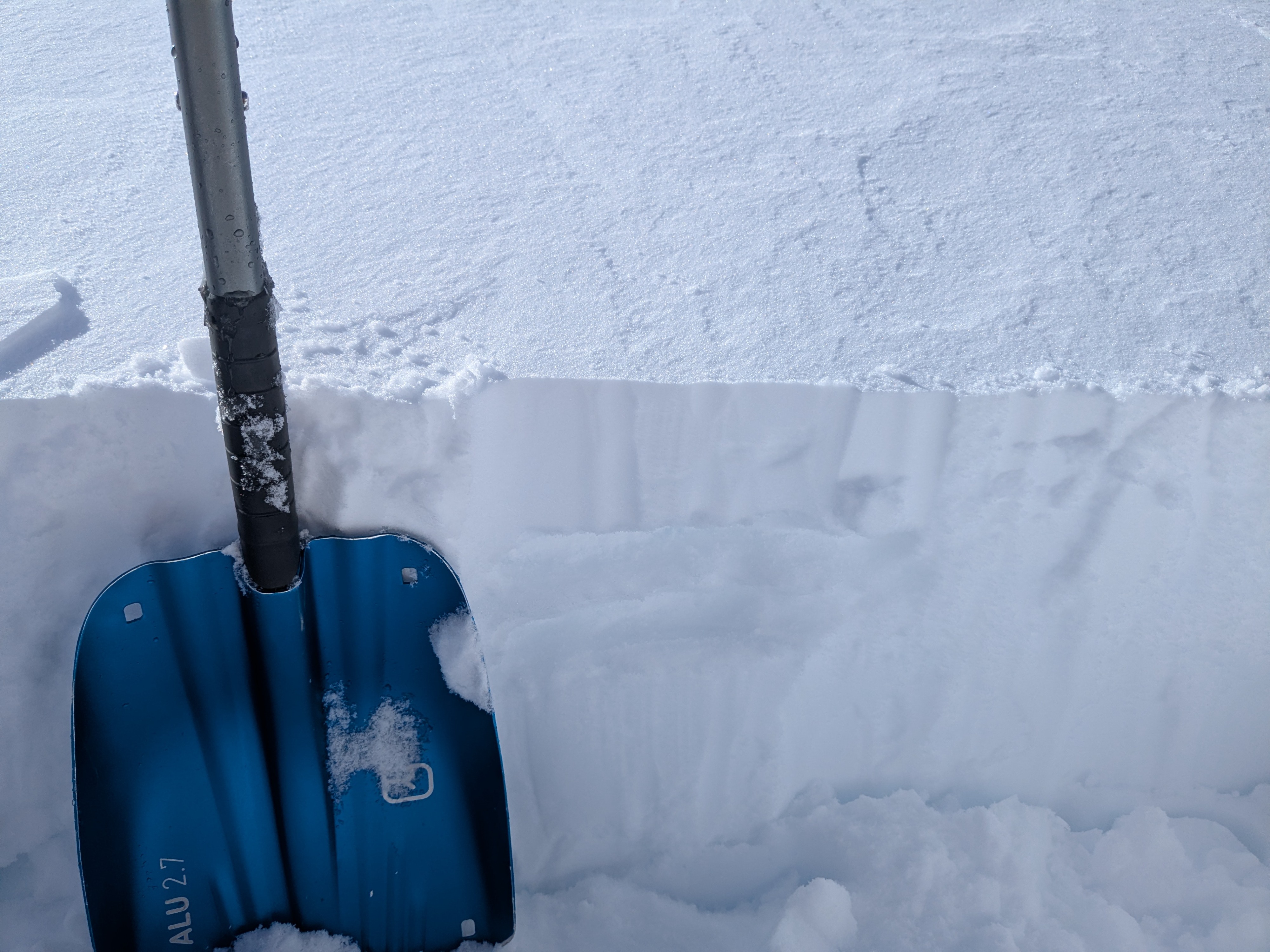
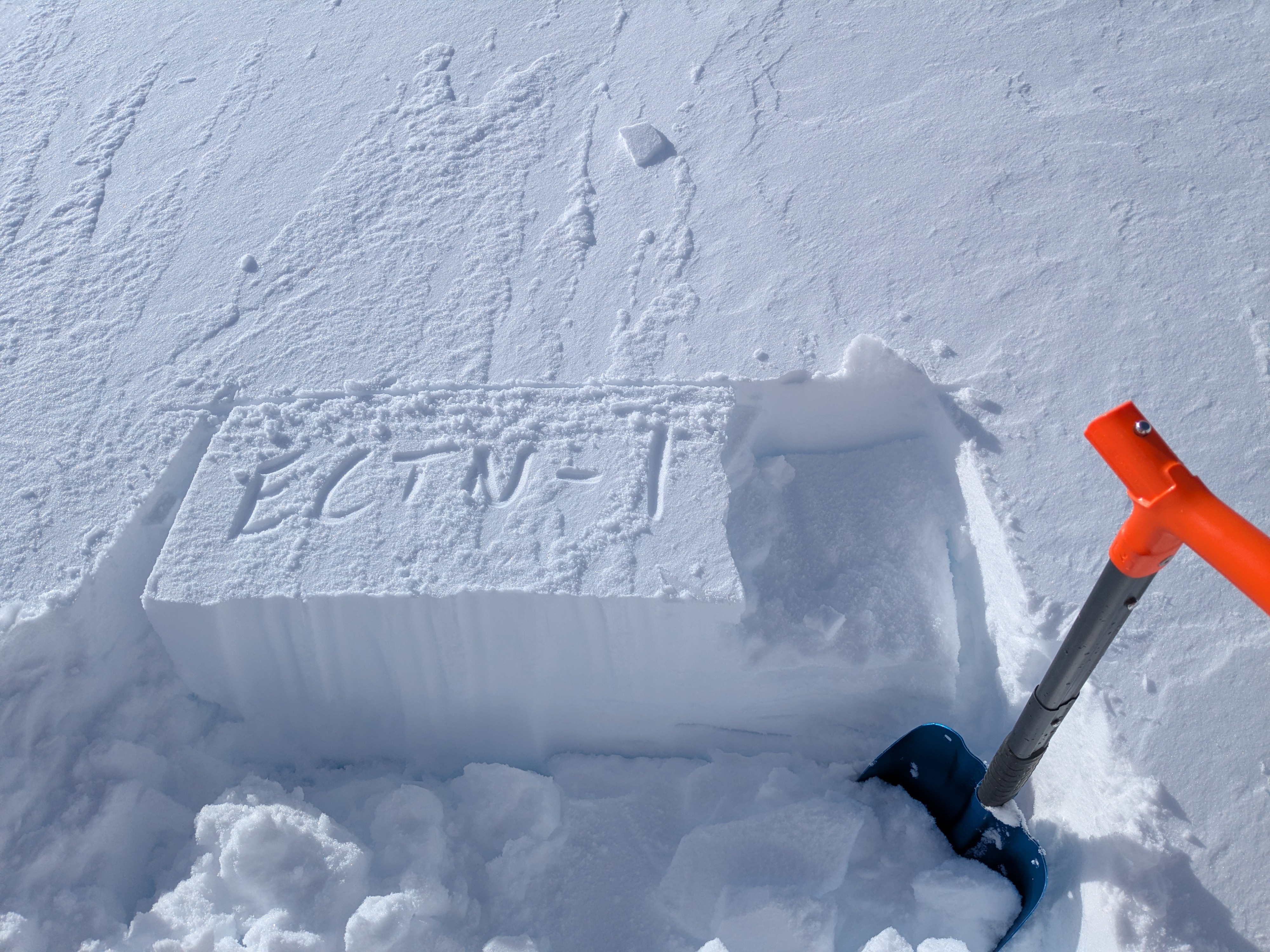
We saw numerous areas of blowing snow over the upper elevation terrain, at treeline and above treeline. A traveled numerous wind loaded test slopes in multiple areas between 9,600' and 9,100'. We collapsed some small sections of newly formed cornice fairly easily. We could not create any cracking of the wind slabs with either cornice drops or ski cuts. A test pit at 9,375' on a NE aspect in above treeline terrain revealed a 4 inch thick wind slab that did not propagate in the ECT. Bonding of recent storm snow to the Jan 1 rain crust was fairly strong. Neither the ECT, CT, or hand shears produced a failure on the rain crust in the testpit.
We did not encounter any additional signs of current snowpack instability beyond the presence of blowing snow. From afar, we could see evidence of recent avalanches size D1 to D2 below cornice areas on NE-E aspect, above treeline terrain. In all cases there was new snow on top of the debris.
Very little evidence of any continued instability.Weather
- Cloud Cover
- few
- Wind Loading
- moderate
- Rain Elevation
- 10,000' before switching to snow
- Recent Snowfall
- 10
- Snow Avail For Transport
- moderate amounts
Strong south winds, drifting snow over the upper elevation terrain.
Avalanche
- Size
- D2
- Aspect
- NE
- Trigger
- NC
- Elevation
- 9750 ft
Size D2 avalanche triggered by cornice fall.