
Quick report
6 inches of Warm wet snow sitting on the old snow surface. The current new snow that the Southern Wallowas has seen in the last 36 hours has been accompanied by some amount of rain up to 7000 feet at least. Over an inch of water has been observed in that time frame as well. The snowpack is morphing with the rain and temps and is having trouble figure out what season it is. With new snow forecasted in the week I think you could see similar results elsewhere.
Avalanche
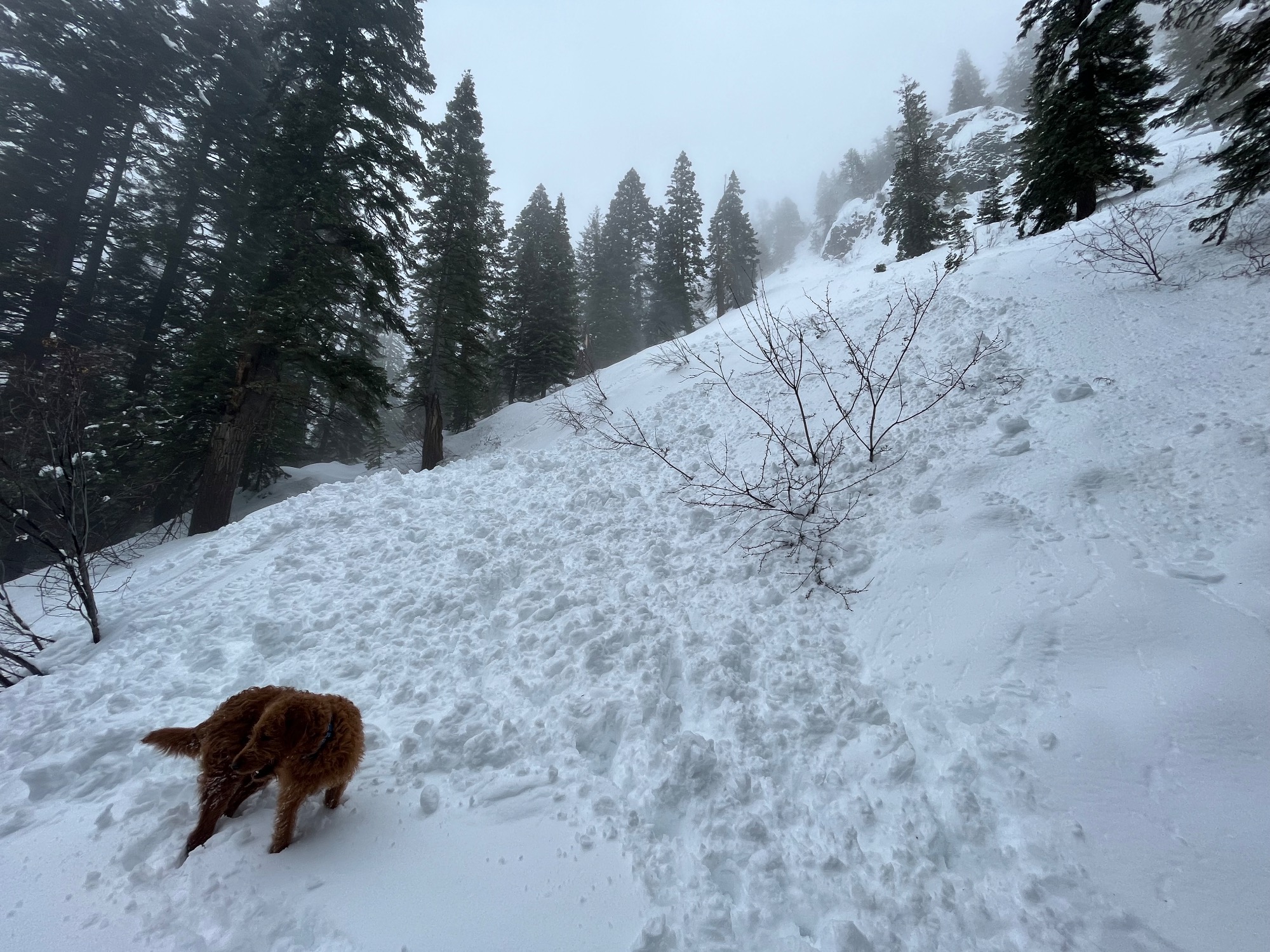
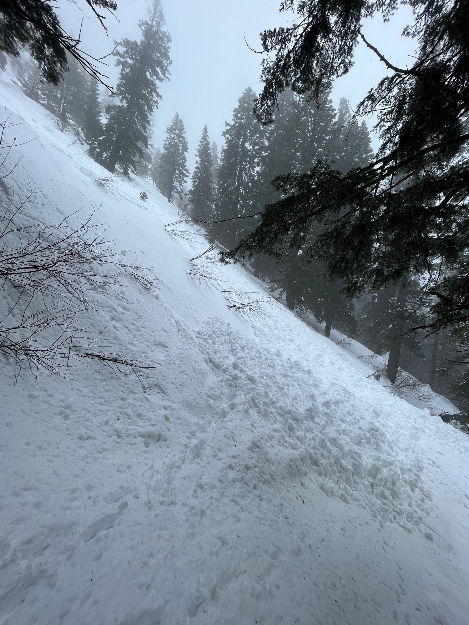
East Fork of Pine Creek, West aspect @ 5400 ft, occurred approx. late last night or the morning of 3/29. Naturally triggered size D1.5-2 was 75-100ft wide, depth of the crown is unknown but large amounts of wet debris 3-4ft thick in the runout. Start zone was steep and craggy, leading to an apron below where the avalanche increased and gained material over 200+ ft in length.