
Quick report
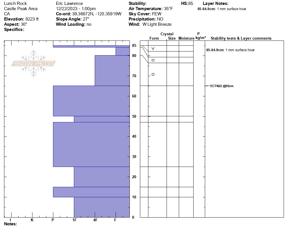
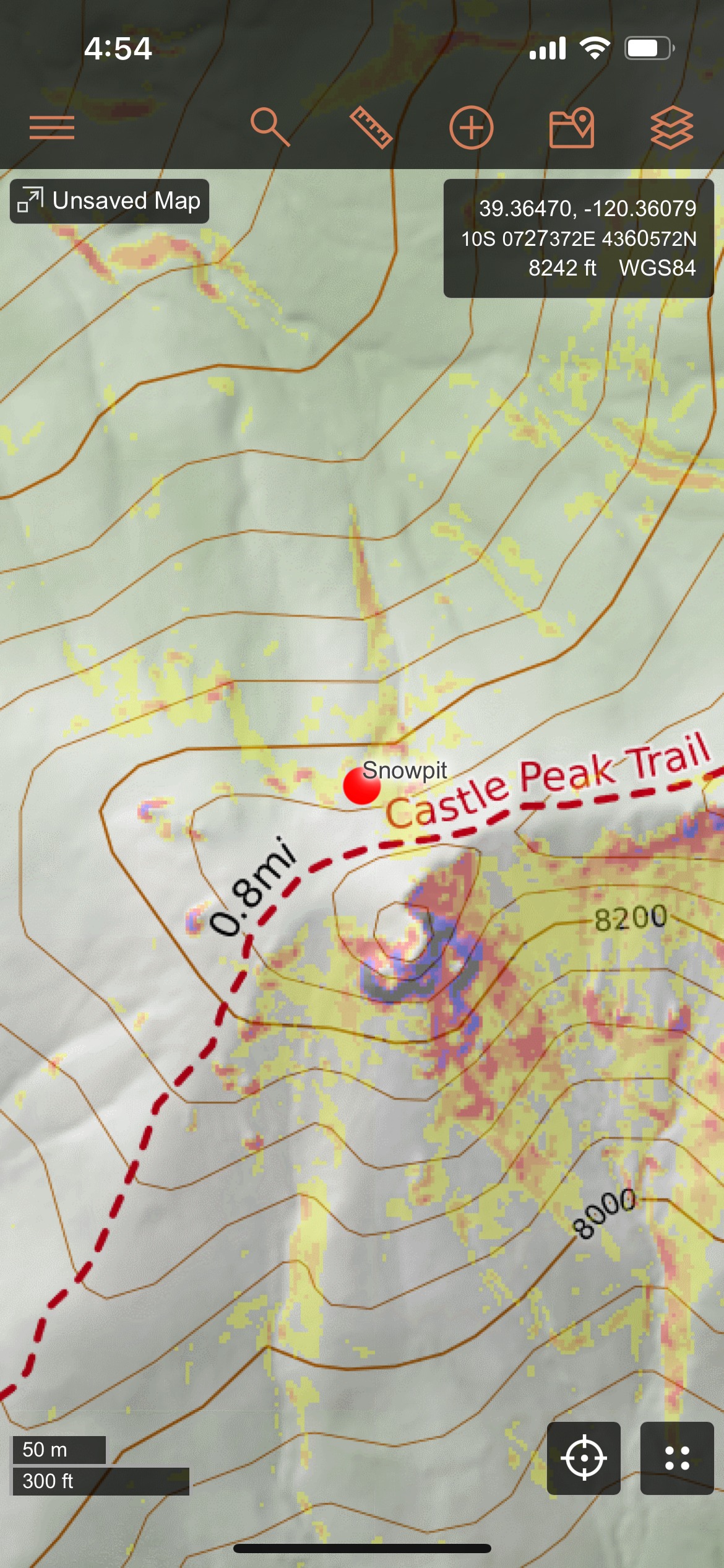
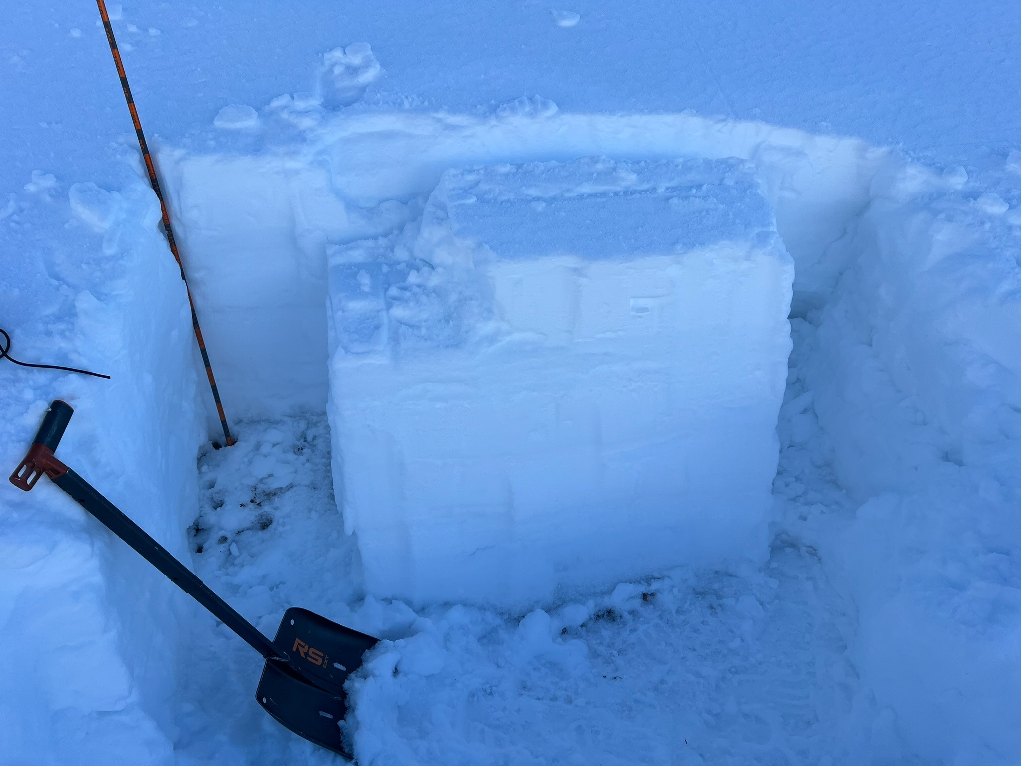
Toured up to Lunch Rock below Castle Peak. Observed 5+ mm surface hoar in the protected drainage along the "highway" skin track. This was less prevalent on the ridge, but still ~1mm in most areas despite evidence of past wind effect. Dug a pit on NNE slope behind Lunch Rock (8223 ft 39.36470, -120.36079). Below 65 cm, the snow pack was very consolidated (1F-P). From 65 cm to just below the surface was soft 1F-F facets. Surface had a thin 1 cm crust with 1 mm surface hoar on top. ECTN 22 at the bottom of the 65-84 cm faceted layer. No further activity up to 30 taps. Overall seems stable and I did not see evidence of buried weak layers. I can imagine the top weak layer becoming a future problem with heavy loading. Solar aspects were heavy cream cheese/breakable crust. https://snowpilot.org/node/57215