
Quick report
Gradually freezing surfaces have greatly increased stability in the past 4 days
Weather
- Cloud Cover
- scattered
- Wind Loading
- none
- Rain Elevation
- 3500-4,000
- Recent Snowfall
- 5
- Snow Avail For Transport
- small smounts
Scattered clouds became overcast. Calm in the morning with east wind increasing to light gusts by noon. A trace of snow at 4,150ft and 5cm at 5,300ft.
Snowpack
2-5cm of new HN24. Solidly frozen surface crusts, supportive to boots. Much of the snowpack is still moist and gaining strength.
Profile at 5,300ft in flat terrain. HS 215cm. Boot pen 7cm
0-5cm: F hard, facetted new snow, PP(FCsf), 2.0mm(0.3mm), dry
5-16cm: P+ hard, crust, w a thin, K hard, ice layer in the middle, MFcr(IFrc), dry
16-79cm: P hard, melt forms, moist
79-80cm: P+ hard, crust,
80-90cm P hard, melt forms, moist
Avalanche
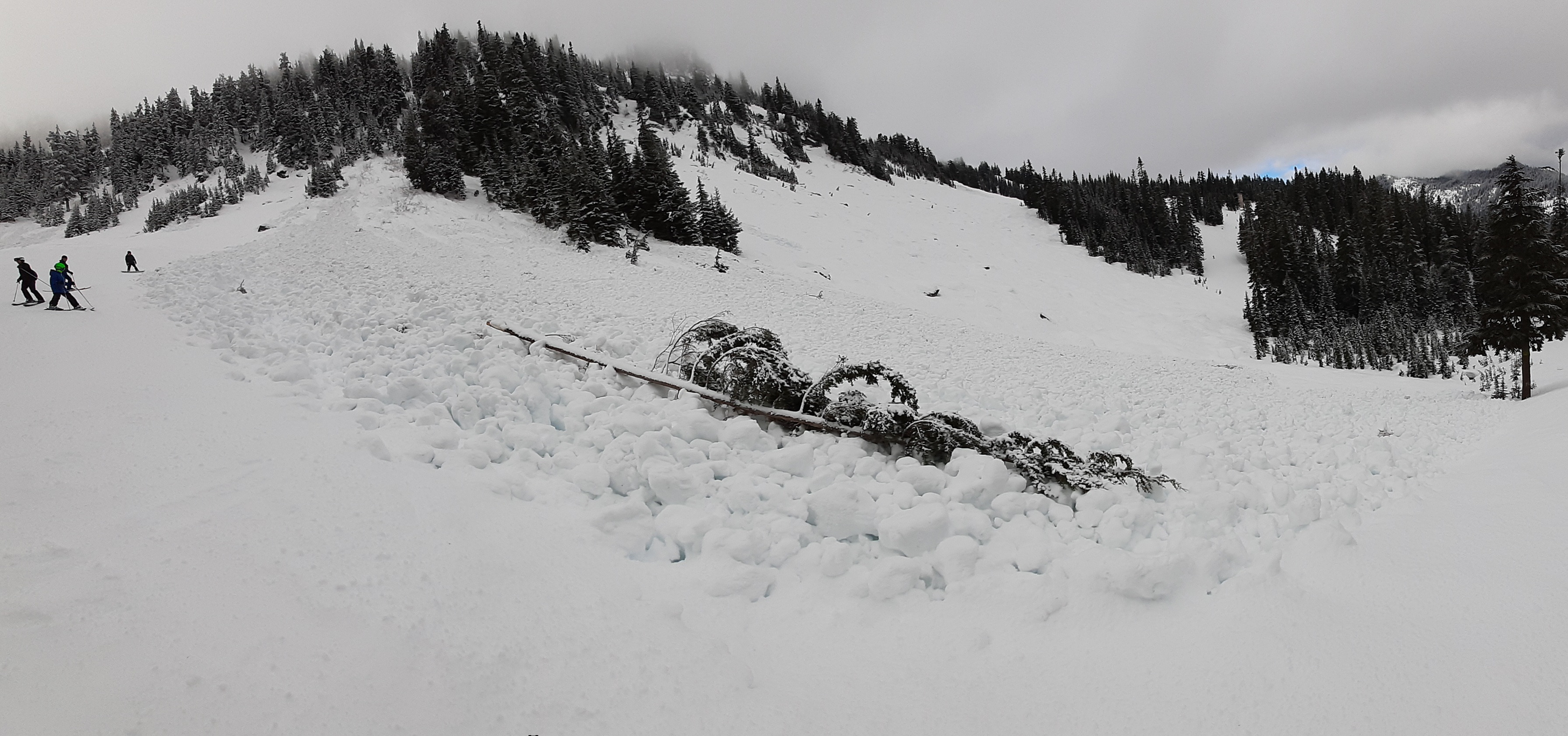
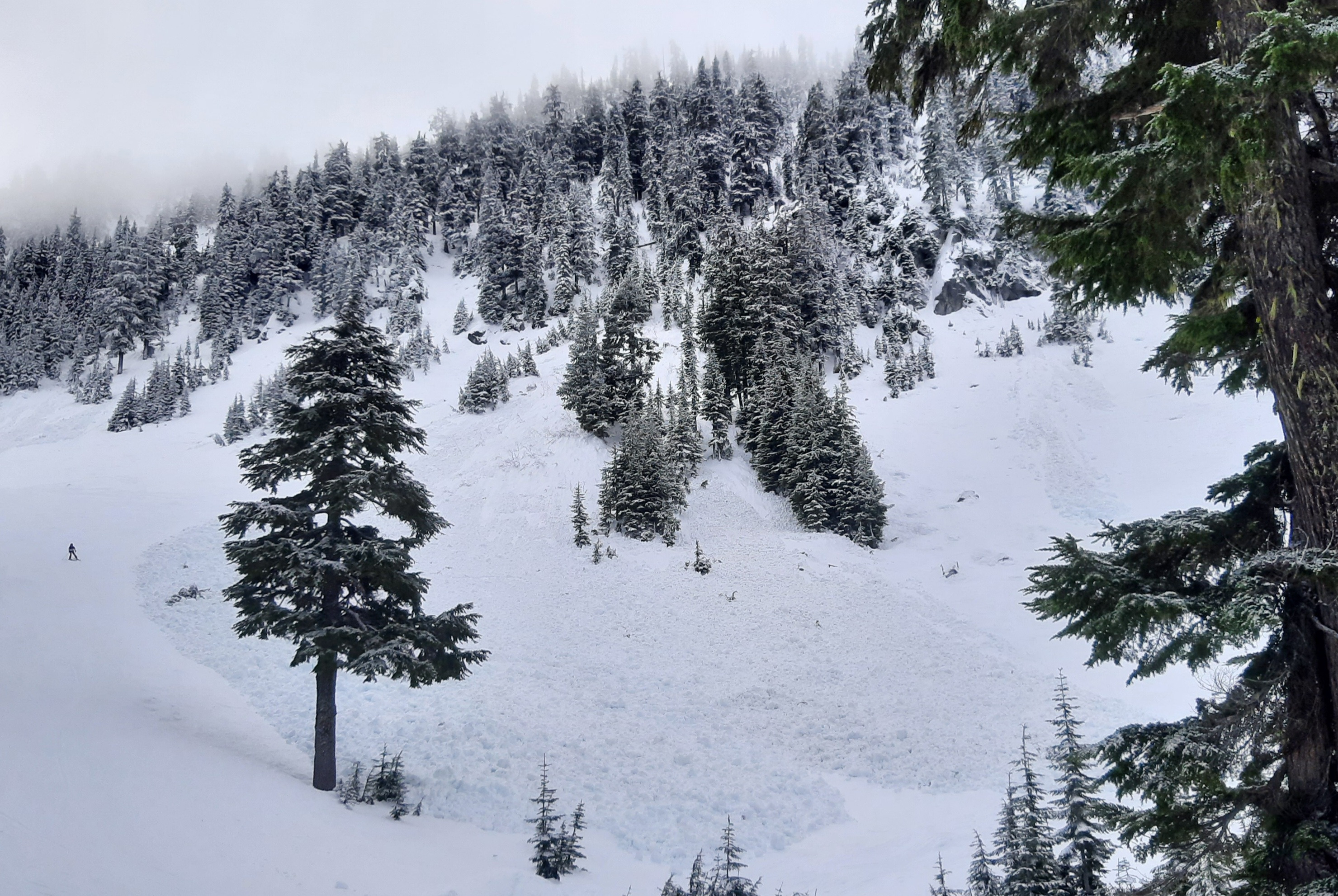
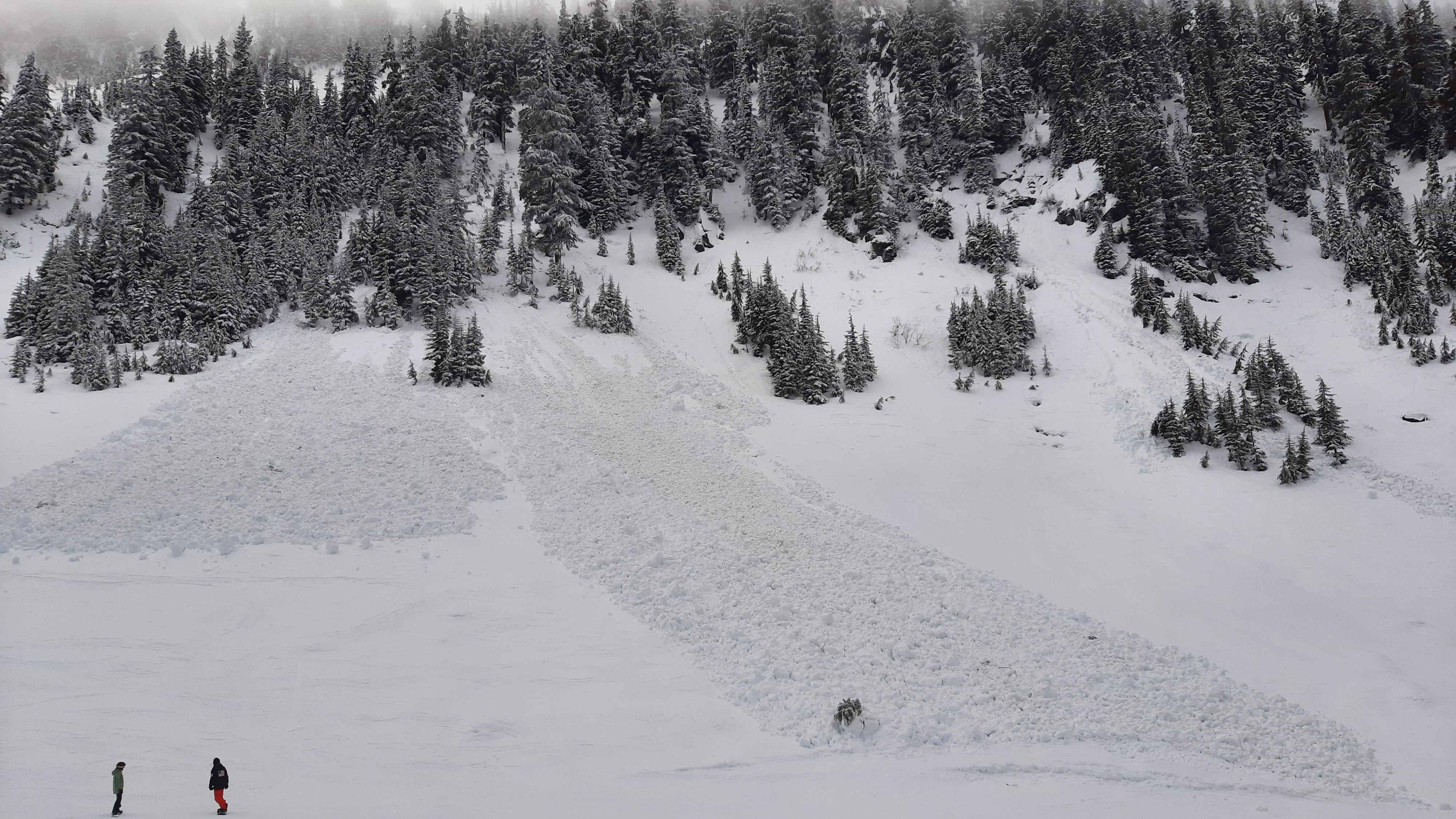
Saw numerous old avalanches from the Late January storm cycle. A few D1-D2 wet loose in each of the following: the Skyline Lake highway paths, Lichtenberg SE face, above Lake Susan Jane, and White Pine Cirque. Notable D2.5-3s from control work at the ski area and in Rock Mtn/Nason Ridge, just west of West Camp.