
Quick report
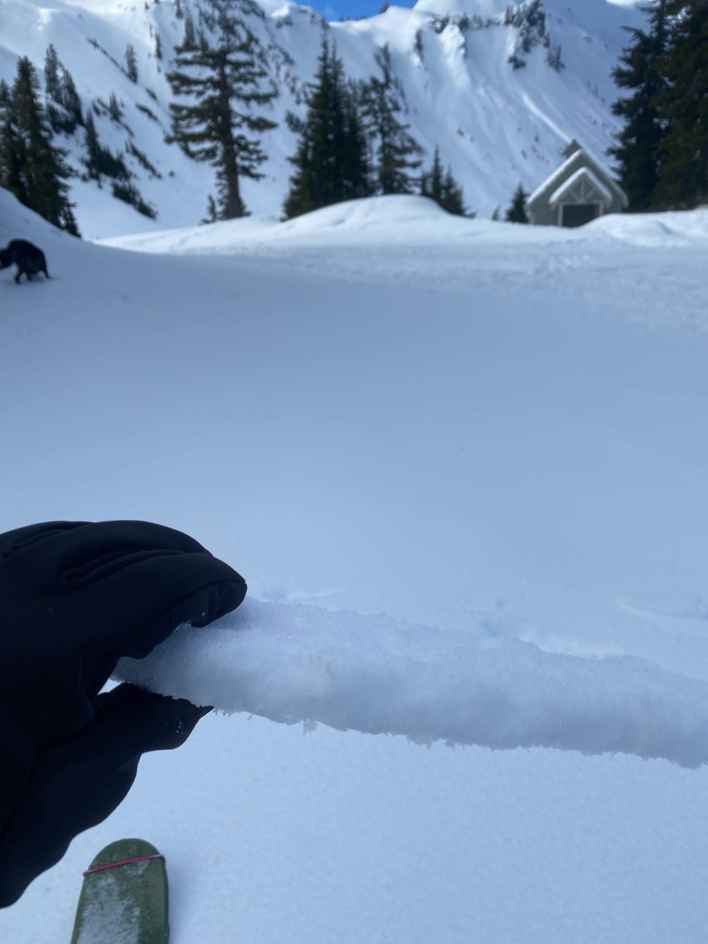
The snow seemed to be locked up today. The surface crust on NW aspects, where I primarily traveled, was supportive but would break while trying to initiate a ski turn. The strong surface crust had widespread surface hoar on top of it and below it a couple of layers of potentially problematic facet crust combo layers about 1/2 ' and 1'-1.5' deep. This buried under a significant amount of snow, could prove to have poor structure and avalanche as snow begins to accumulate this week.
Today the only true instabilty that would have been obvious was wet loose avalanching. However, the previously warm snow had already shed quiet a bit the previous two days and I did not notice it happening today, even on warm south facing slopes. My prediction is that the snow was not warming enough to shed to the extent it did the previous two days and the cool wind was helping to keep the snowpack cold.Weather
- Air Temp
- 34
- Cloud Cover
- broken
- Wind Loading
- none
- Recent Snowfall
- 0
- Snow Avail For Transport
- none
Slight breeze from the east gusting to moderate at times. Wind seemed to keep snow surfaces cold but ambient air temperatures felt quiet warm at all elevations. Clouds came in and out but south slopes seemed to get pretty consistent direct sunlight.
Snowpack
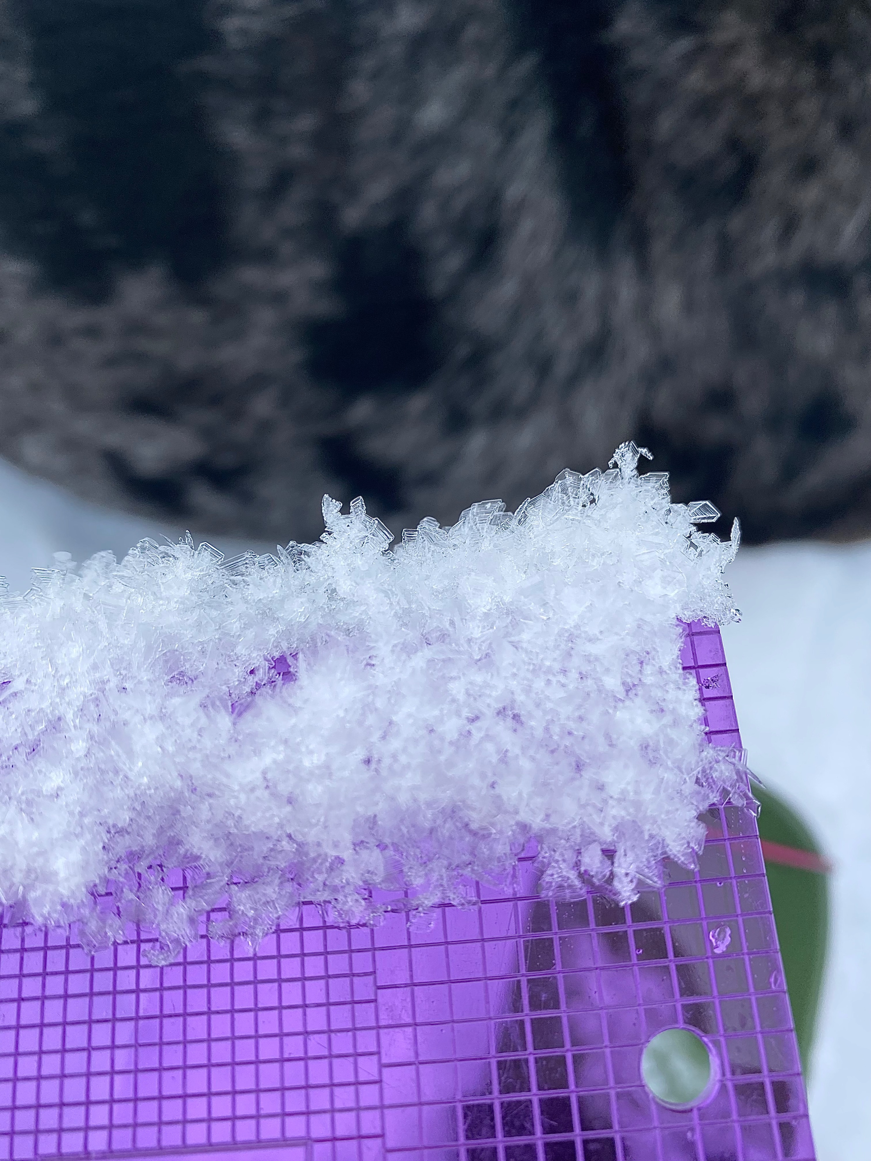
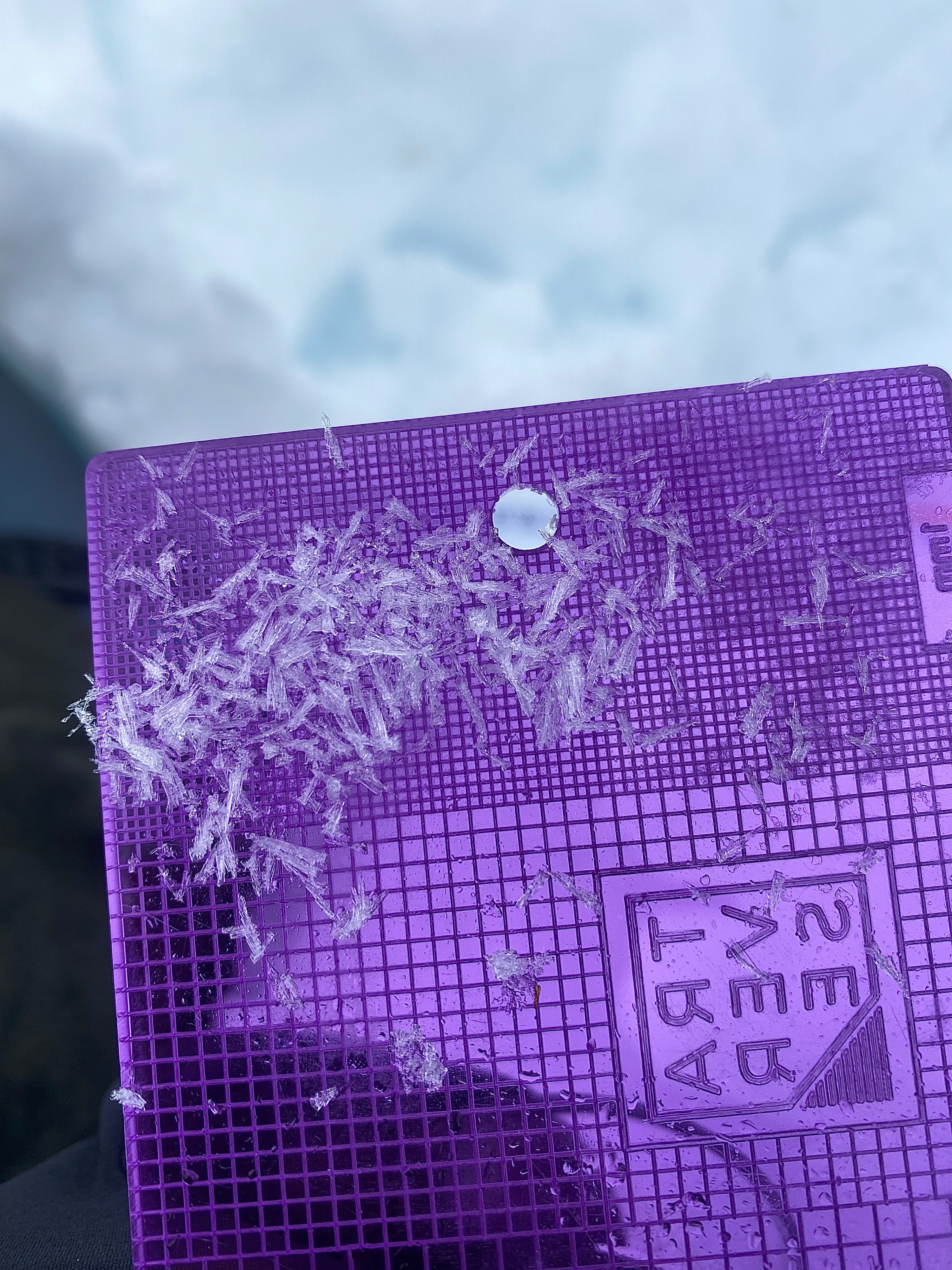
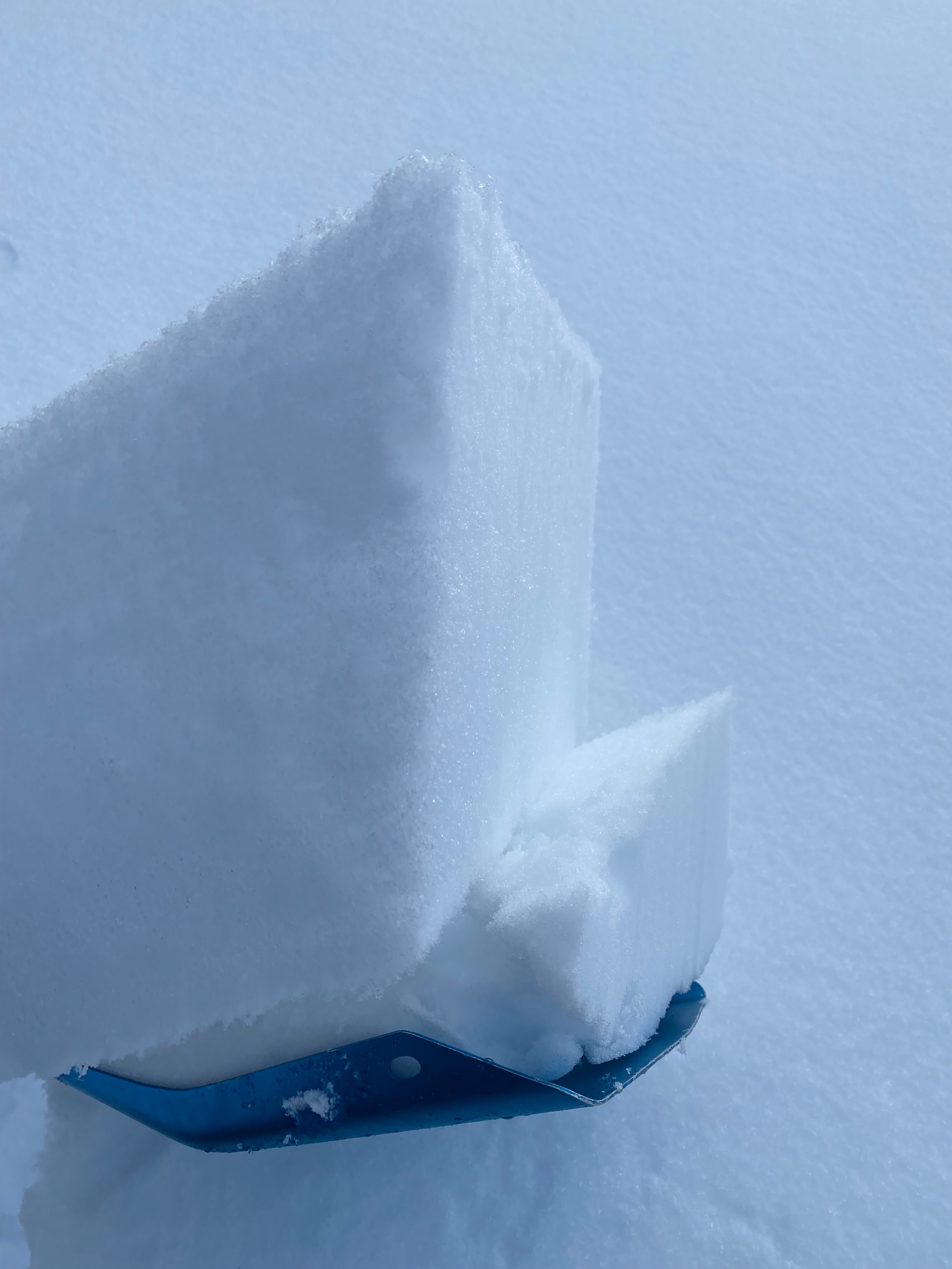
Widespread surface hoar coated the snow surface. Crystals ranged from 3 - 6 mm in length and trended from the normal feathered surface hoar to more needle like frost hoar. The crystals stayed intact until the end of my tour at 2:30. Snow that had warmed in the previous couple of days was now frozen, down to 4 in, creating a breakable crust that was challenging to ski. This layer did seem to be warming up and softening throughout the day.
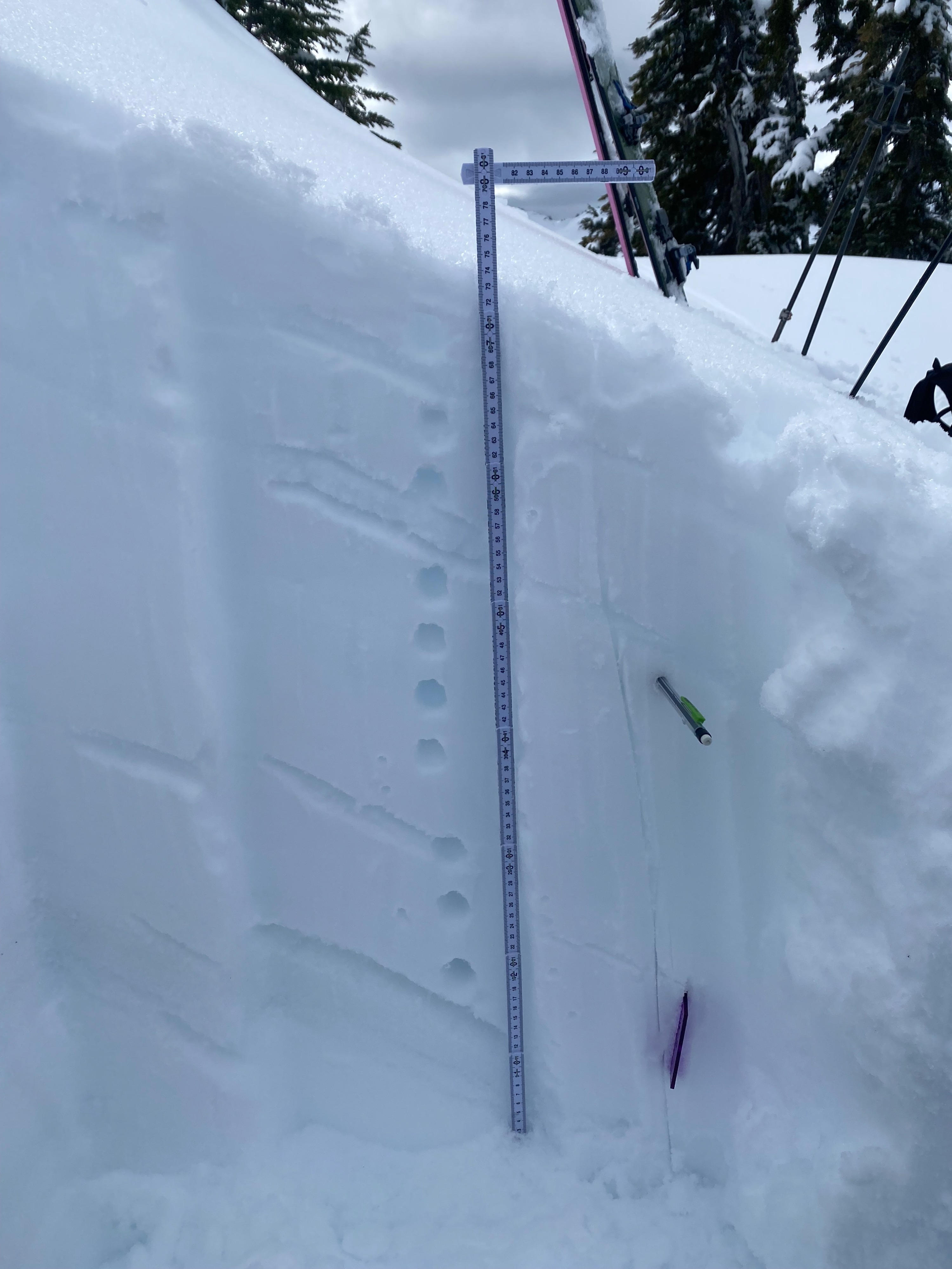
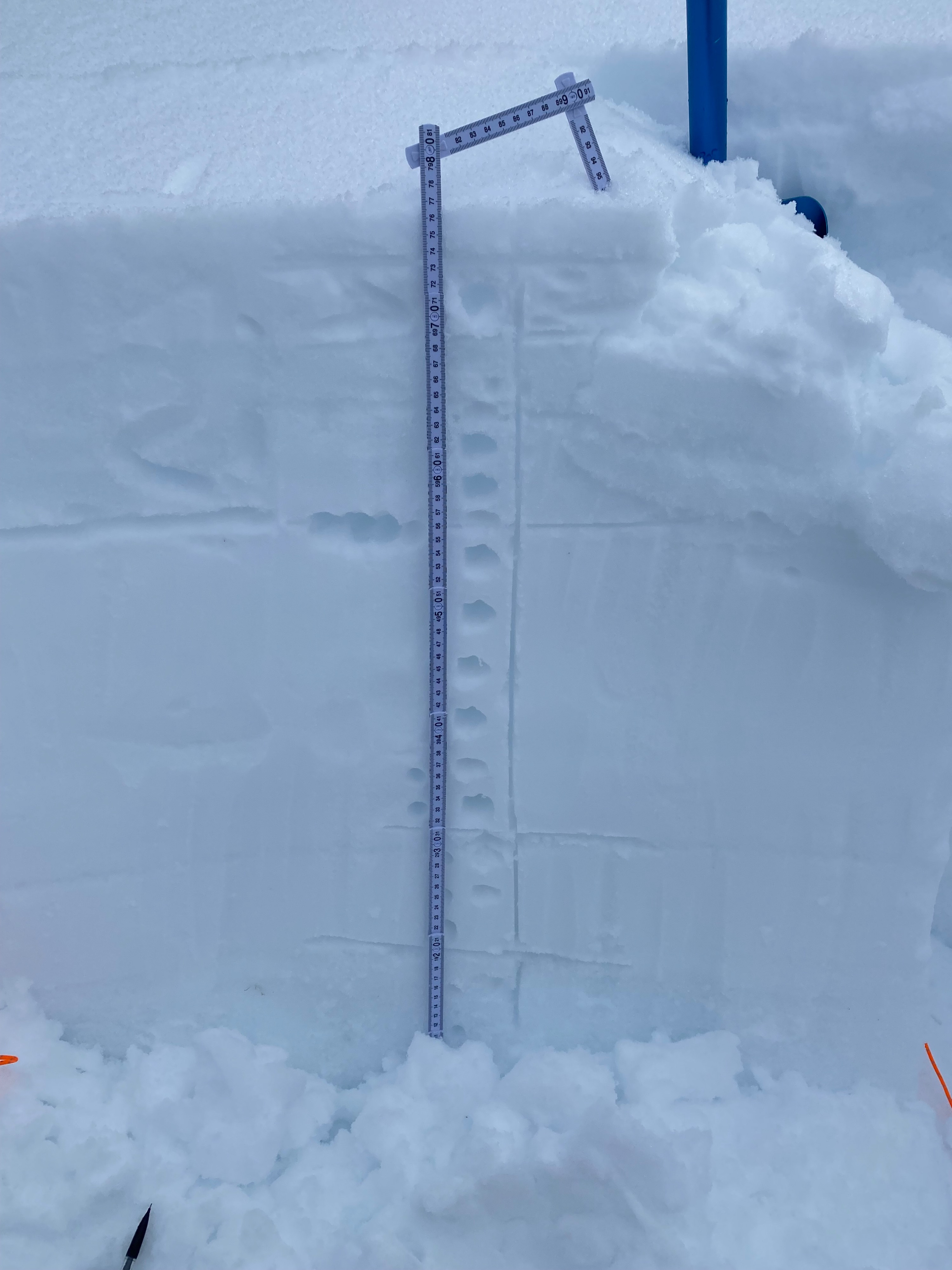
The upper snowpack presents a variety of MF crusts and layers with potential faceting occuring at a couple of interfaces. I dug two snowpits above the early Feb. crust. Interestingly, and disimilar from other observations in this zone, the early Feb crust is about 70 cm below the snow surface, which is deeper than expected. This could indicate that west facing slopes or at least the ones I choose are more wind loaded than others. Another theory is that the Heather meadows/ Arisit point zone has accumulated more snow than other ranges in this zone.
The structure of the snowpack is not the best moving into a stormy period, there seems to be a couple of layers with weak structure, where a facet crust combo interface had low strength (see snow pilot profiles). These layers may be important to track as the storm begins to load them.
Avalanche
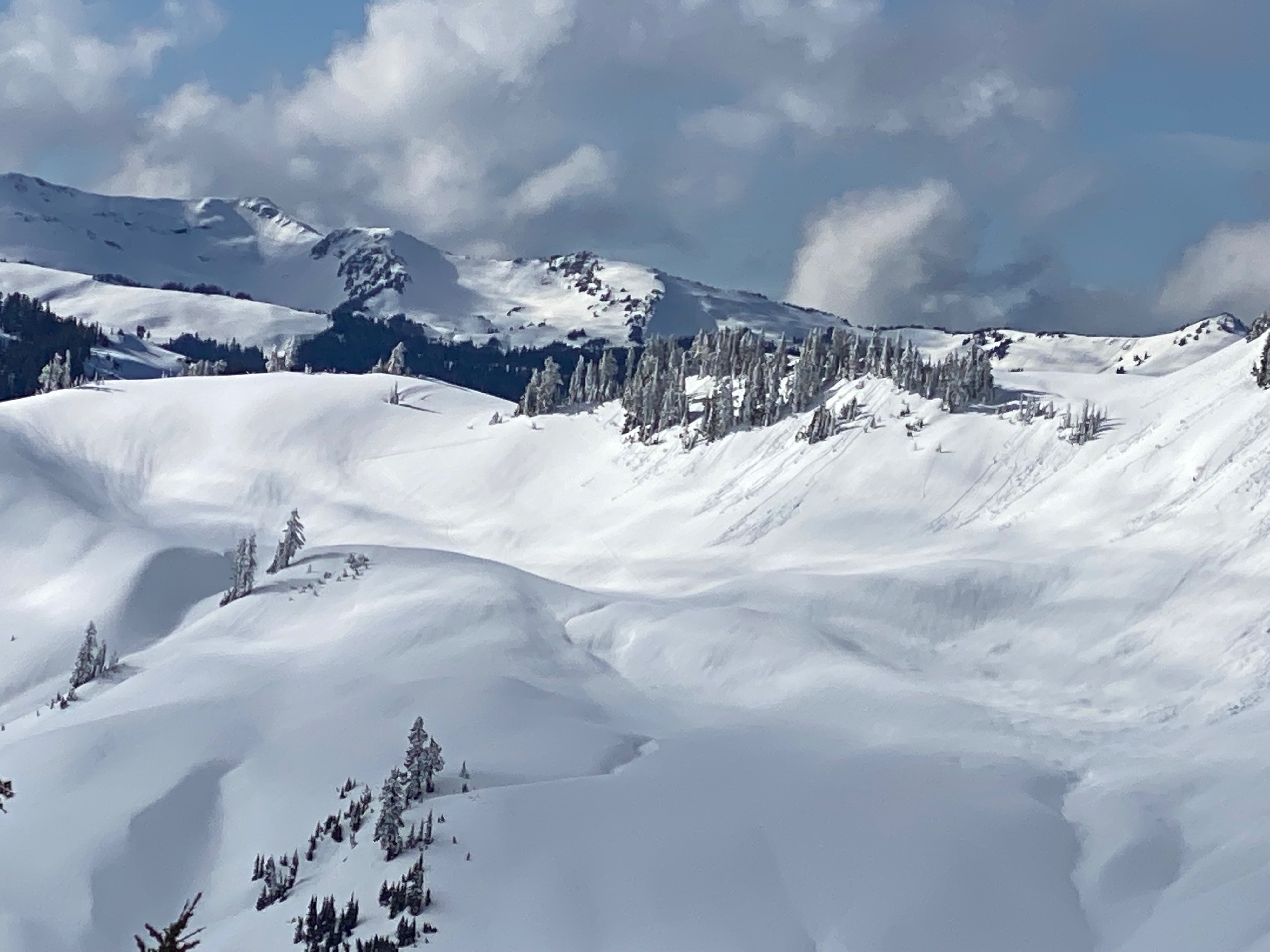
Widespread wet loose avalanches from earlier in the week.