
Quick report
- Cracking
- isolated
- Collapsing
- isolated
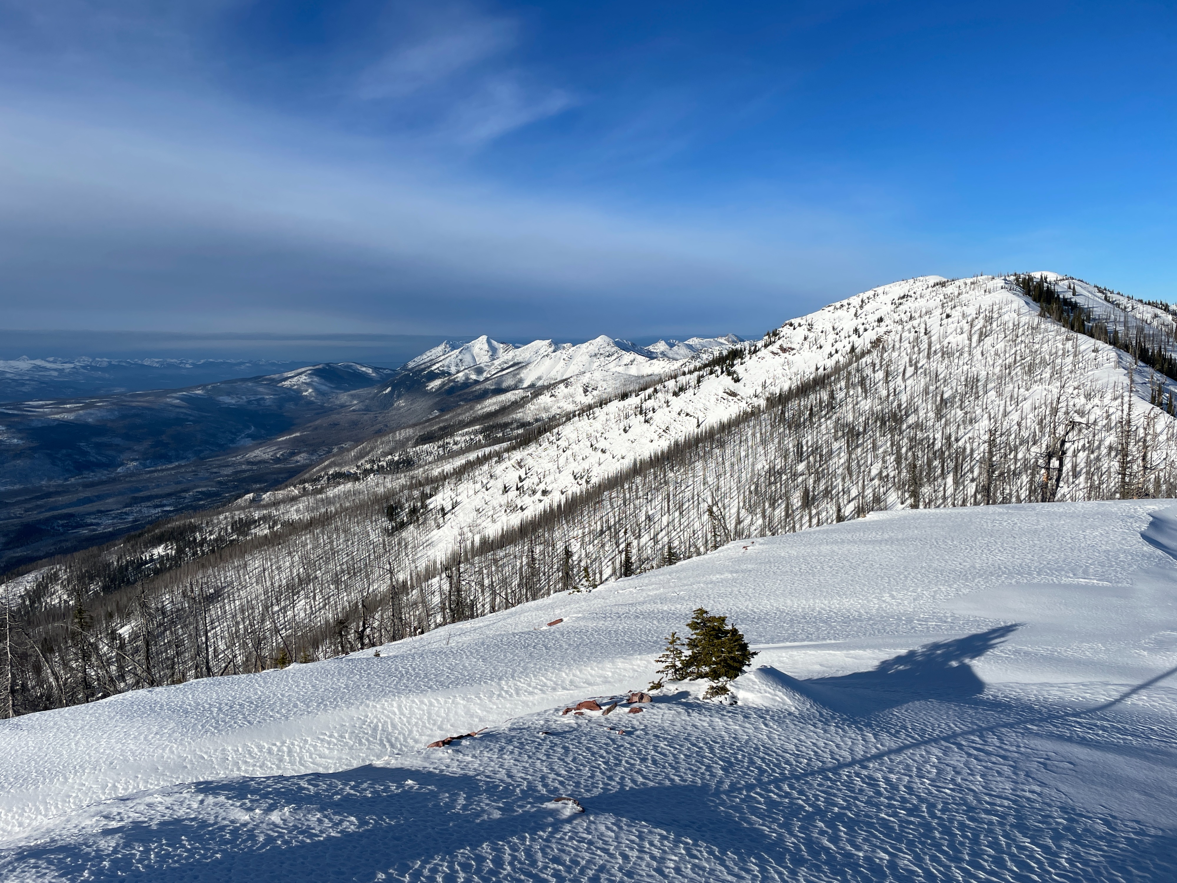
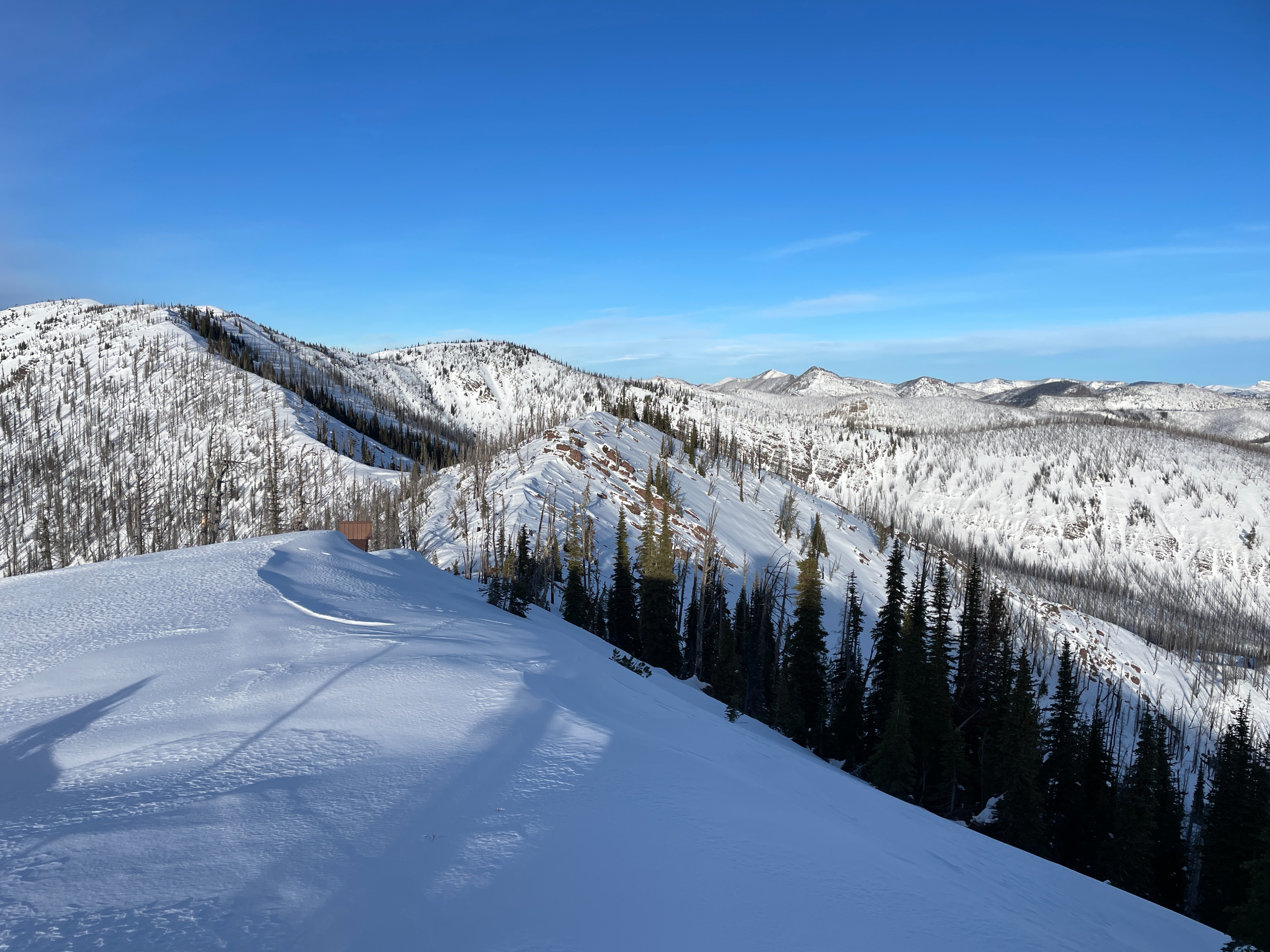
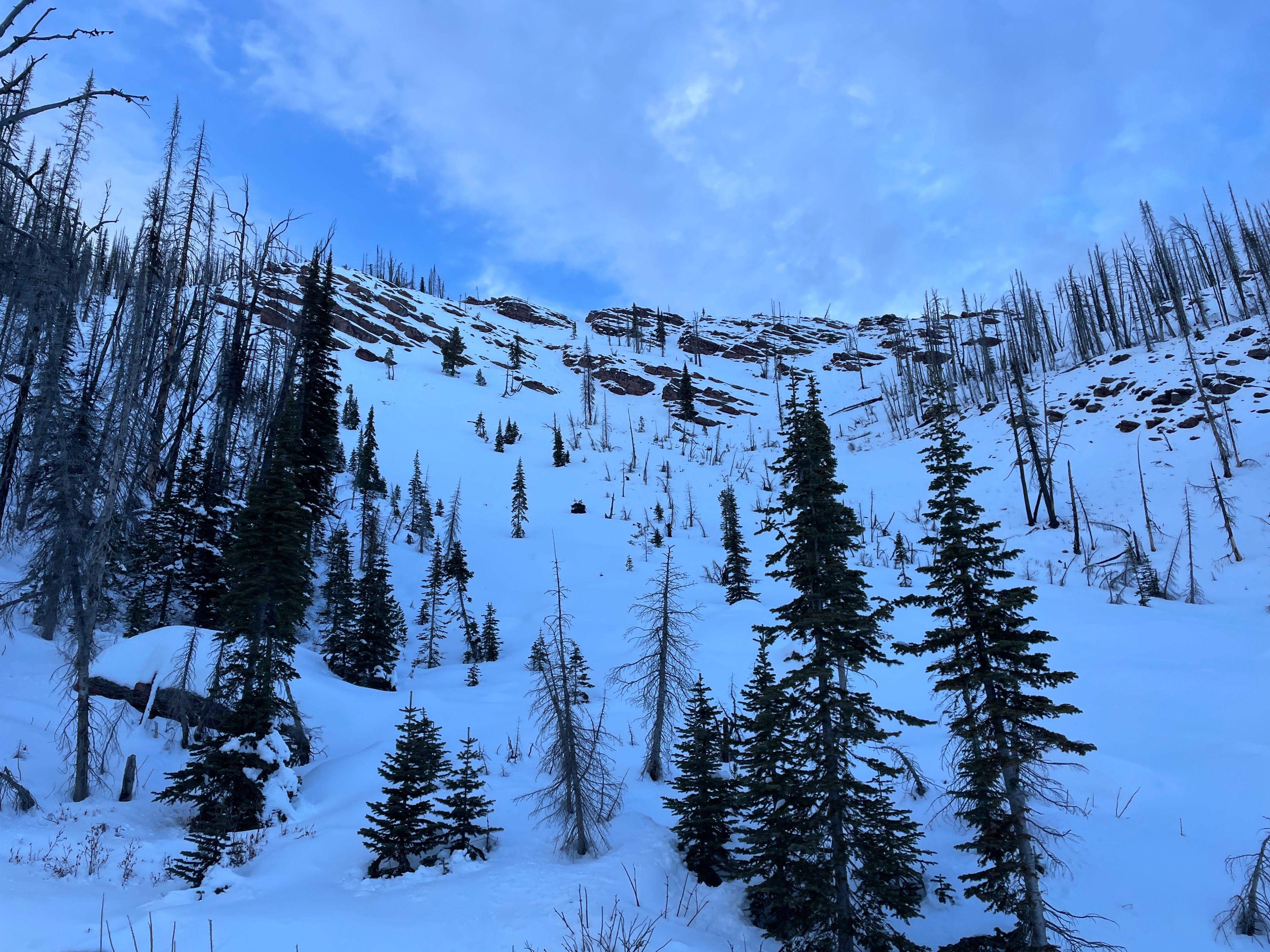
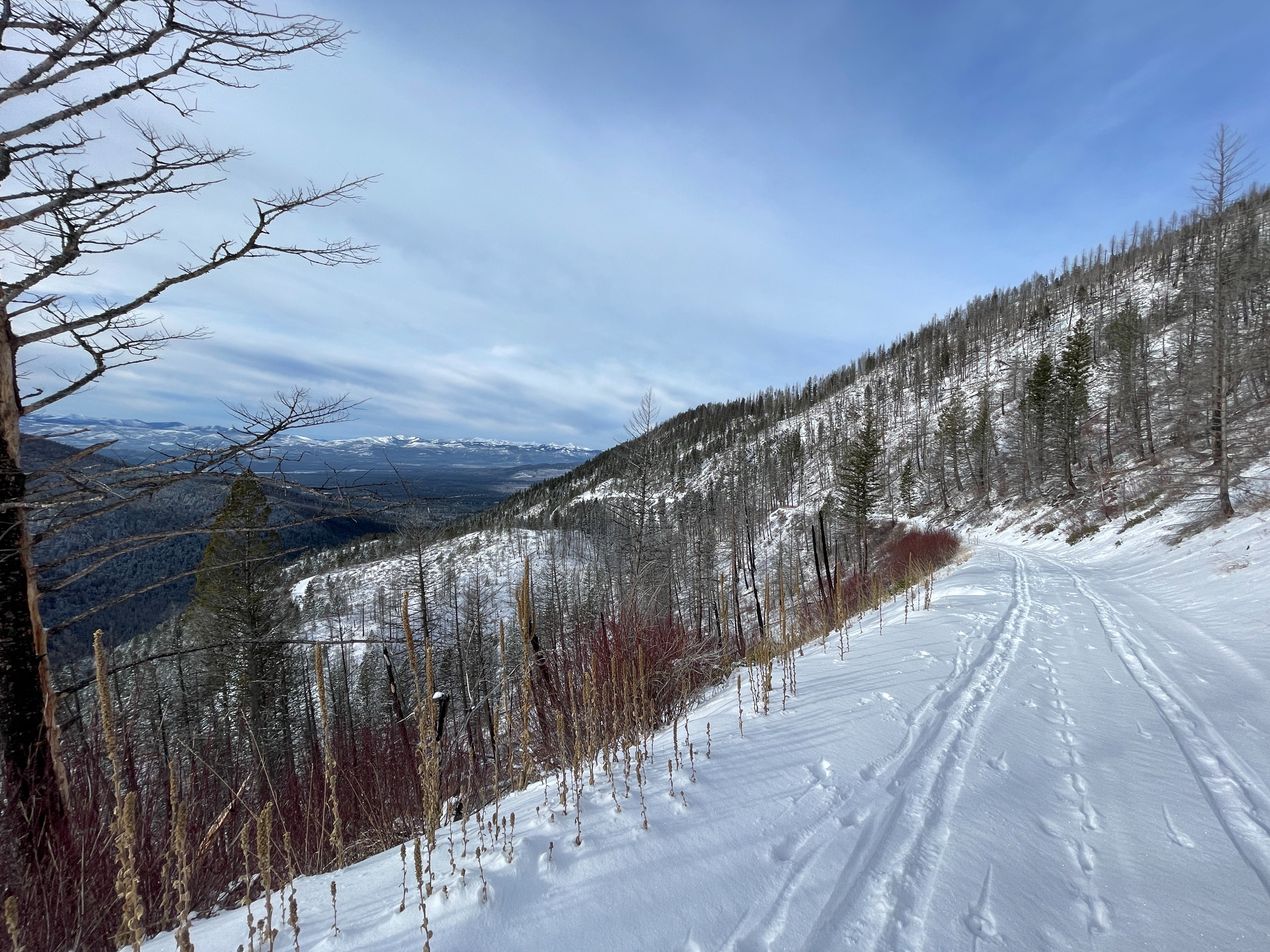
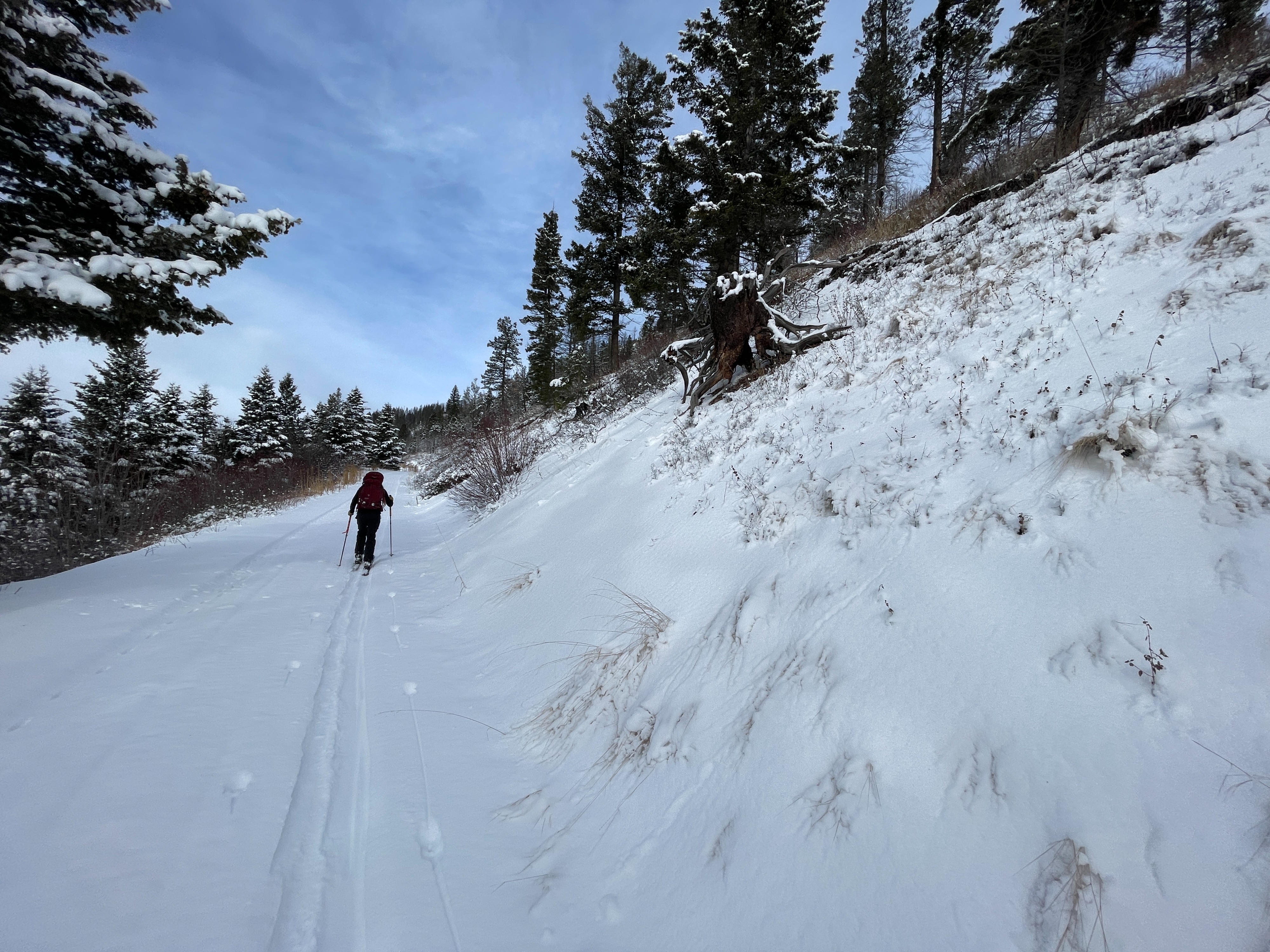
Today, we toured up to the Morrell Mountain Lookout to take a look at conditions in the Seeley Lake zone. Overall, conditions remain very thin, with many early-season hazards still present. At upper elevations, we found snow depths of around 2 feet and a poor snowpack structure with basal facets near the ground.
We observed isolated cracking and collapsing on basal facets at upper elevations but they did not propagate far beyond our skis.Weather
- Air Temp
- 22
- Cloud Cover
- scattered
- Wind Loading
- previous
- Recent Snowfall
- 0
- Snow Avail For Transport
- small smounts
It was a nice, cool day with partly cloudy skies, and increasing clouds in the afternoon. Winds were generally calm with some light gusts out of the west at the ridge top.
Snowpack
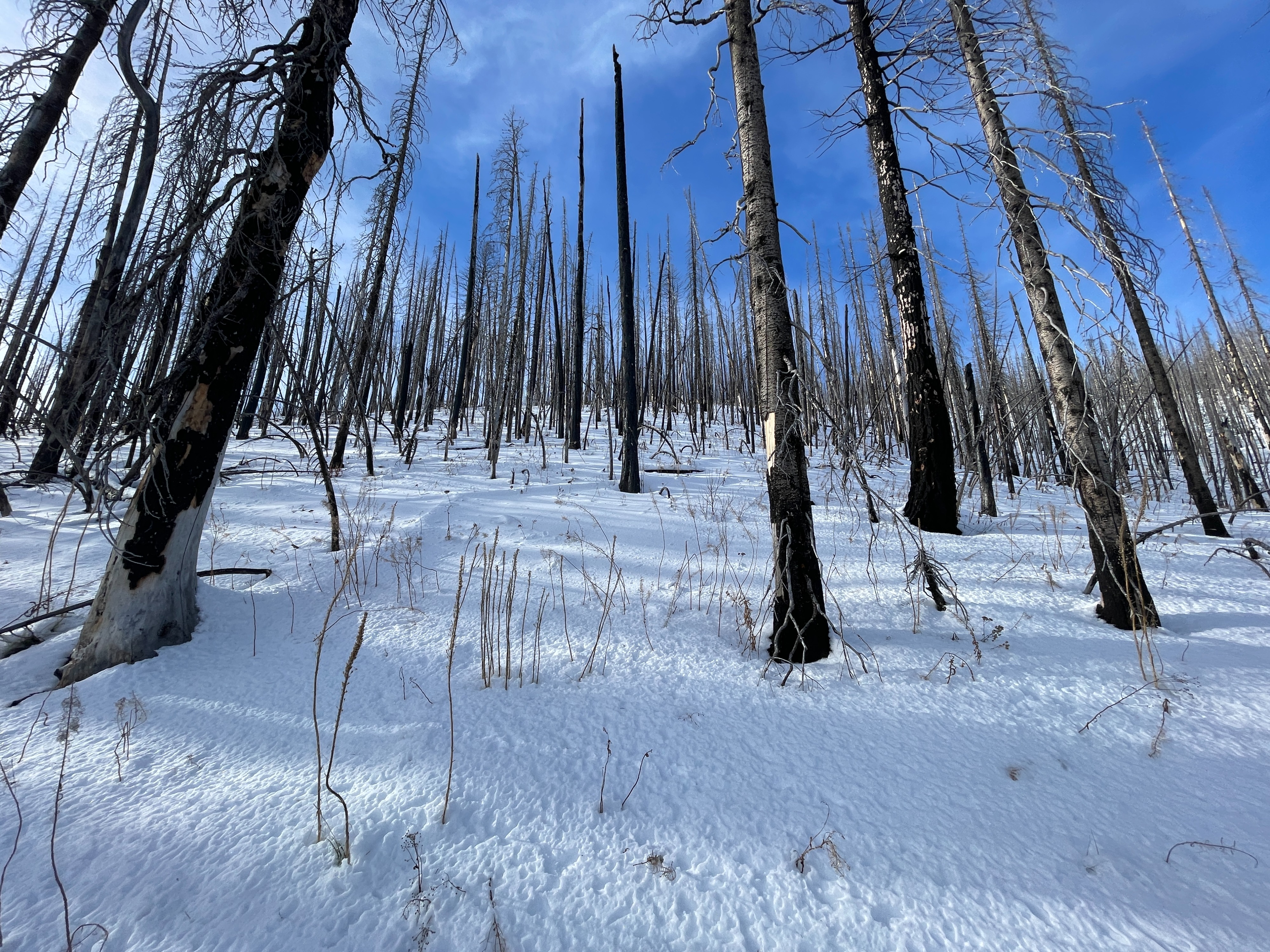
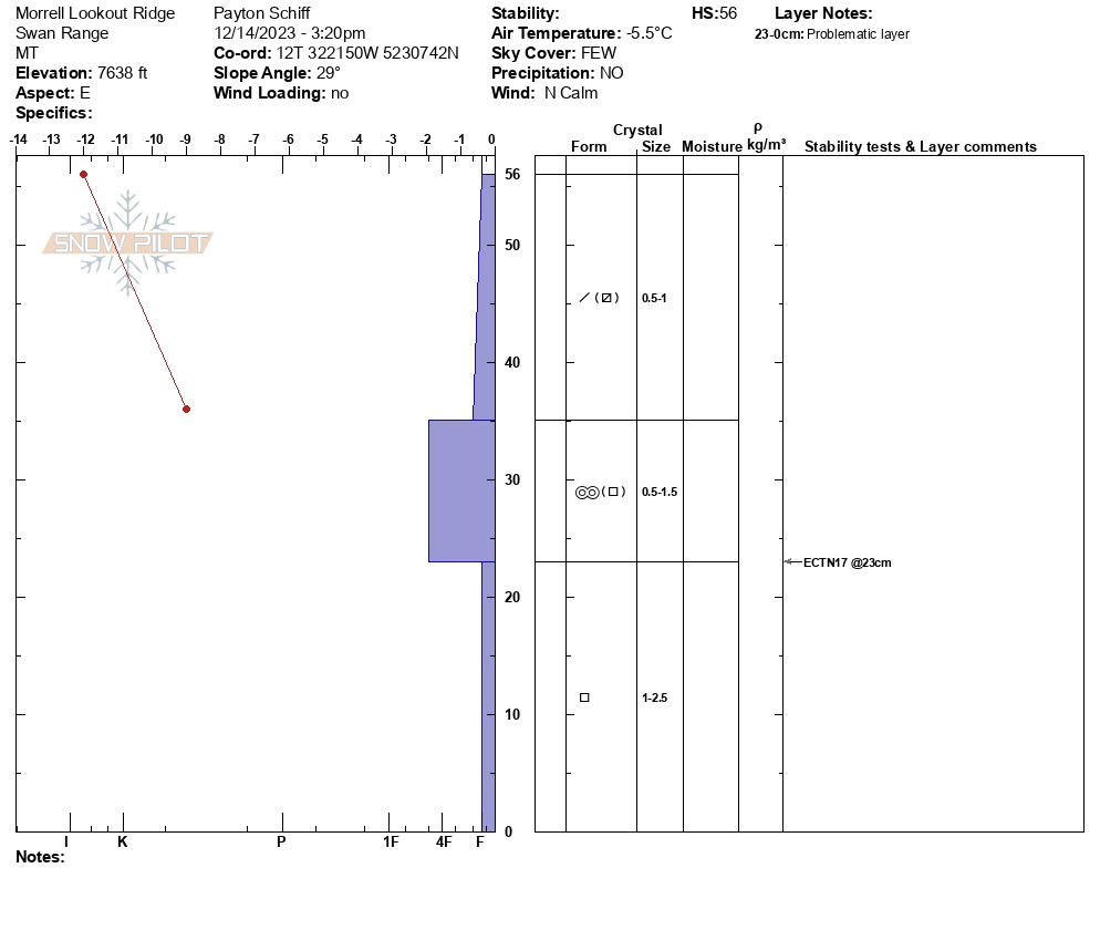
Below around 6500 ft, the snowpack is extremely thin, with only around 6 inches of snow on the ground. Between 6500 ft and 7000 ft, the snowpack gains depth and supportability. Above 7000 ft, we found snow depths of around 2 feet on shaded aspects (still thin!). The entire snowpack is actively faceting and weakening during this high pressure weather. The snowpack structure is poor, with a weak slab above the November basal facet layer. The slab consists of around 6-10 inches of recent snow above a melt-freeze crust. In an extended column test on an east aspect at 7600 ft, the slab fractured, and the failure did not propagate across the column. However, I would be suspect of any area with a slightly deeper or stiffer slab, or anywhere with signs of instability. South aspects were thinner and had surface melt freeze crusts.
Wind drifts along the upper elevation ridgeline were unreactive and did not produce any significant cracking. We observed some surface hoar growth at middle and lower elevations.