
Quick report
- Collapsing
- isolated
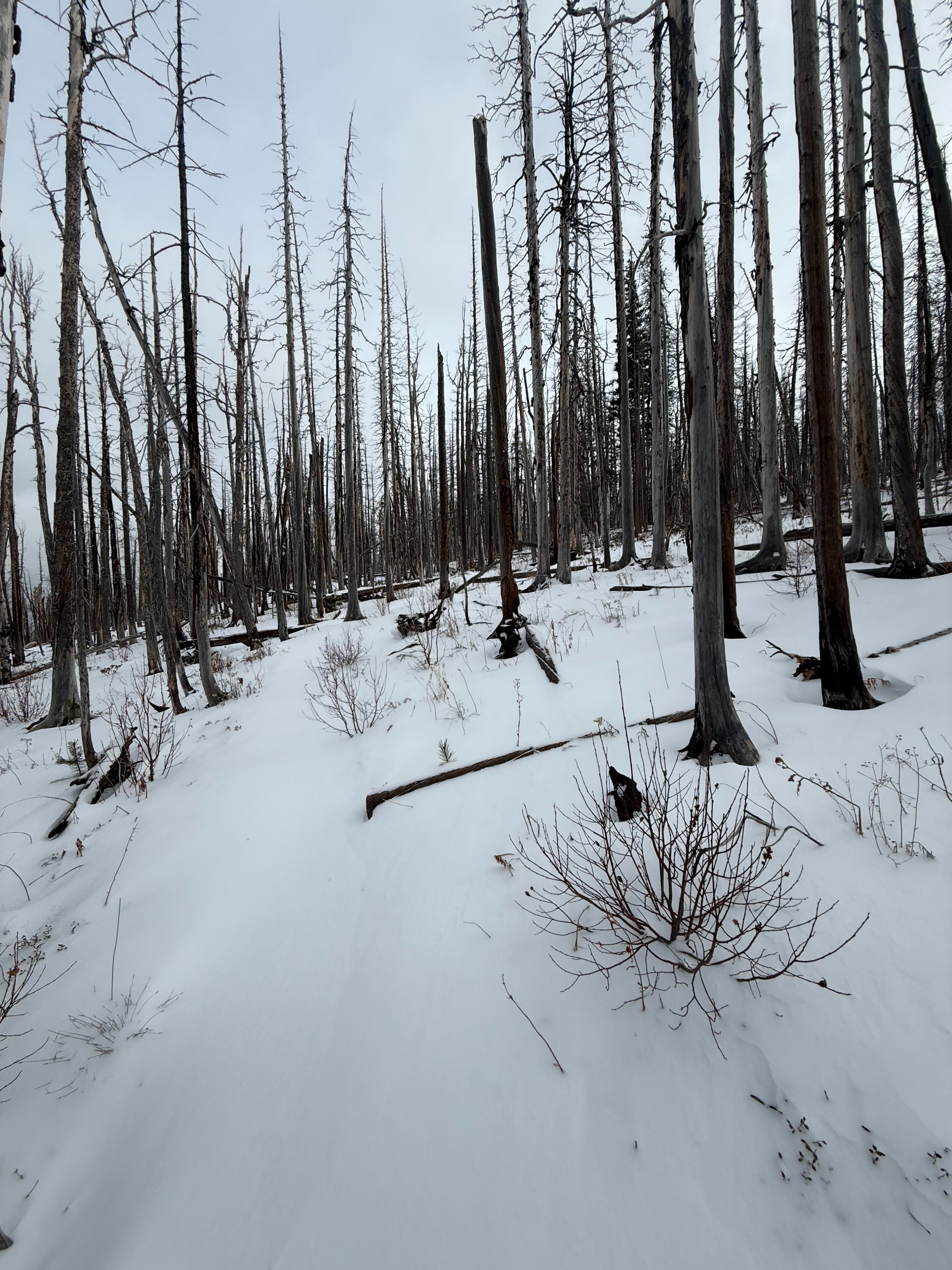
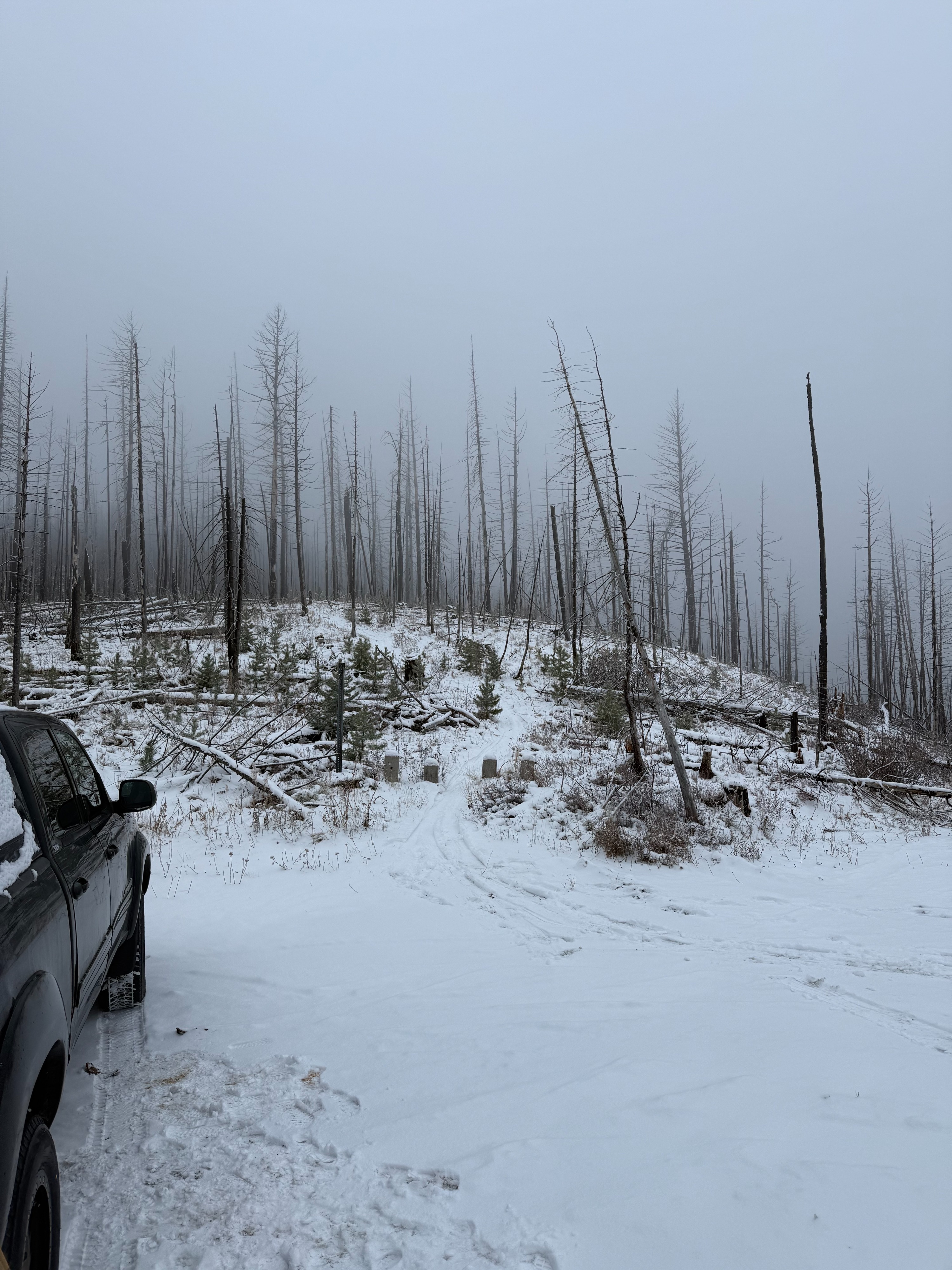
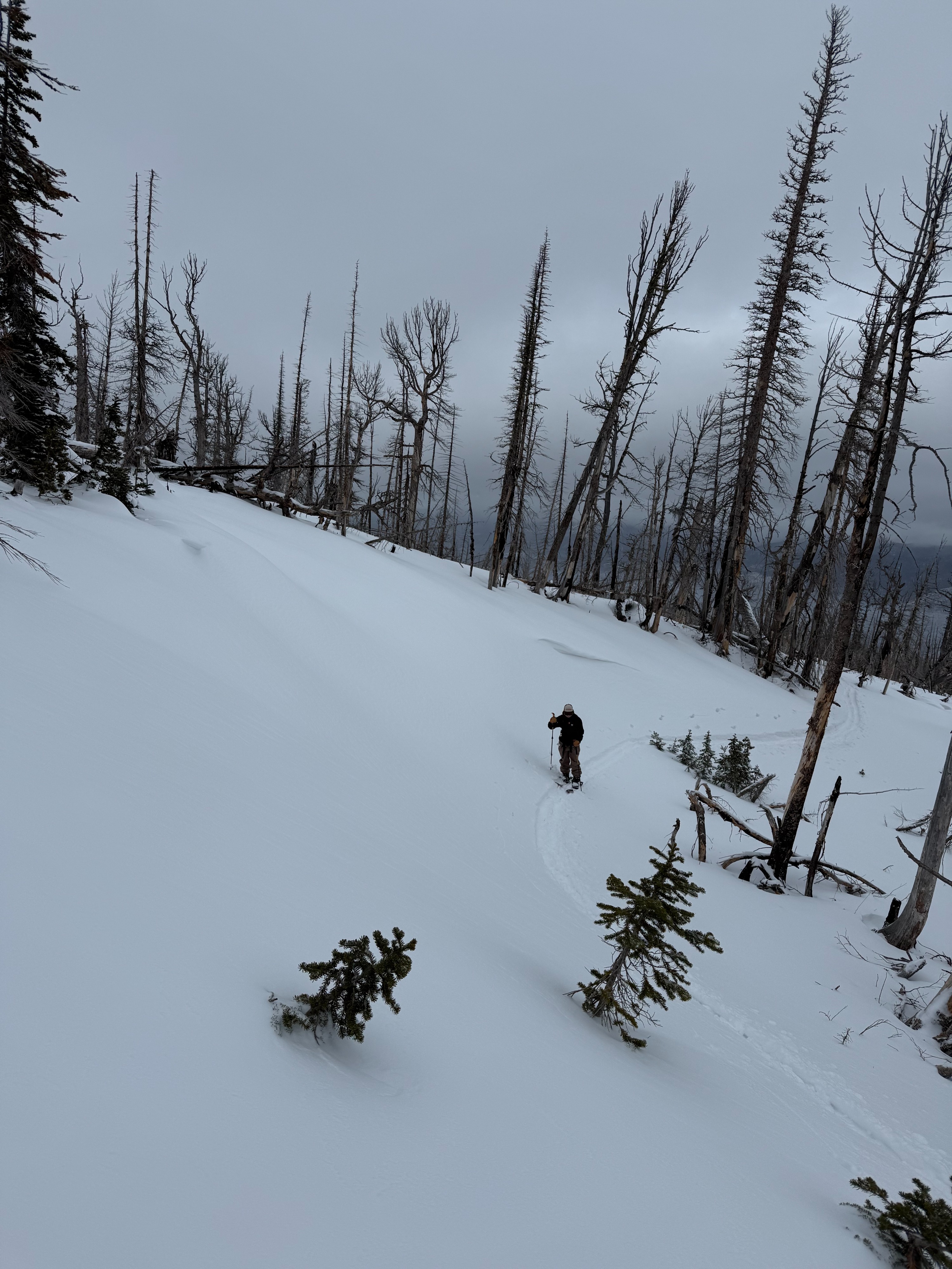
A much needed stretch of the legs brought us out to Carlton ridge for the day. New snow overnight (2 inches at the TH, 6 at the ridge) allowed us to skin from the TH, but hiking boots would have been the tool of choice up to 7,500 ft. At 7,500ft a supportable base kept us off the ground for the travel up and down. Visibility was limited for most of the day, glimpses of the NE face of Mormon peak provided no additional info. Snowpack provided some feedback; structure, daylight and lack of information kept us from pushing further towards Lolo peak. We suspected the S aspects down to Carlton lakes would be too shallow to comfortably ski down. Stumps and logs were the biggest safety concern of the day. If the current weather forecast hold true, it could be deep enough to just barely hide all of the danger from sight. Small isolated pockets of windslabs were found, cracking was only occurring underfoot. One collapse occurred unexpectedly, in an area with a firm windslab, suspected facet layer collapsed.
Weather
- Cloud Cover
- overcast
- Wind Loading
- moderate
- Recent Snowfall
- 15
- Snow Avail For Transport
- moderate amounts
Below freezing temps at mid and upper elevation while we were out. Moderate wind transport at mid and upper elevations, winds out of the WSW. Afternoon freezing level was around 6,500 ft. Light snow throughout the day.
Snowpack
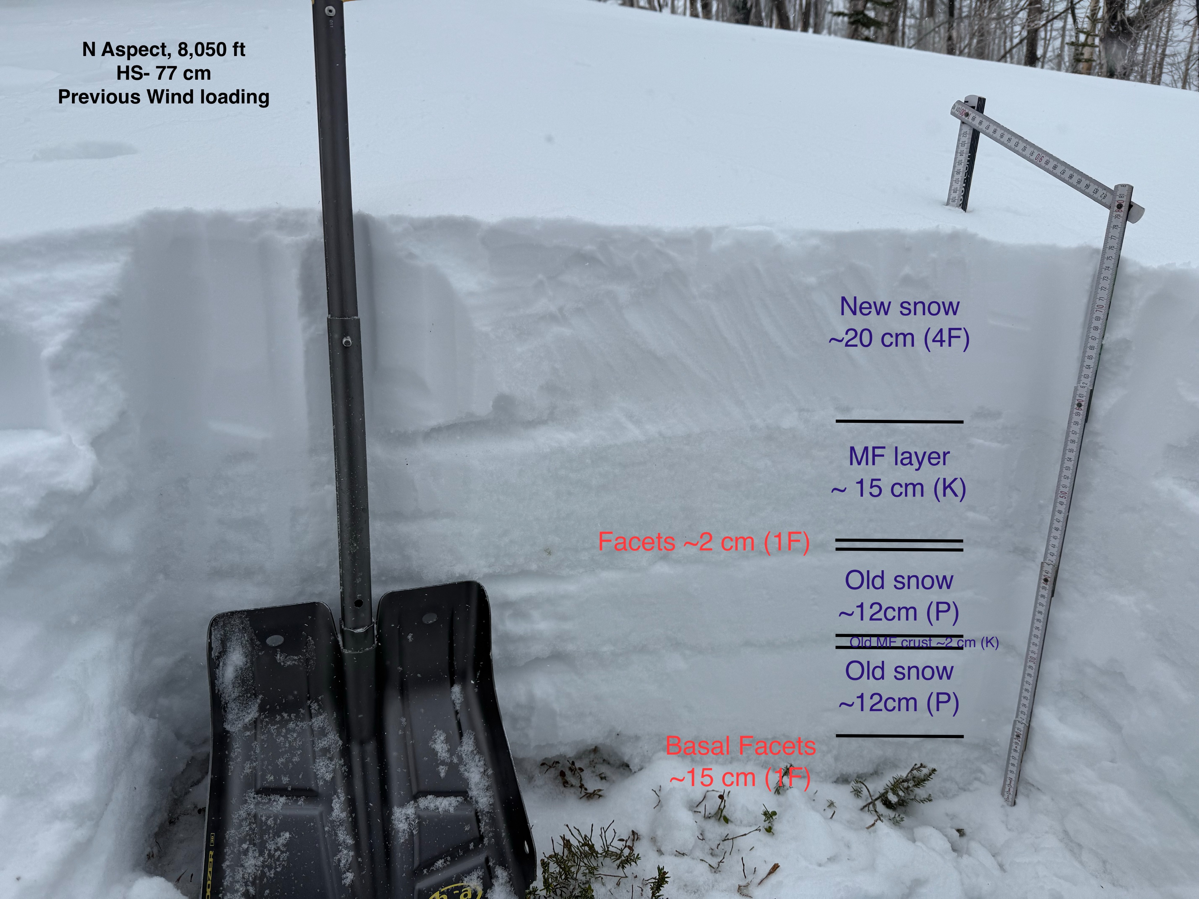
In previous wind loaded areas snow depths ranges from 8-30 inches, with N aspects from 7,500-8,200ft harboring 2 ft of snow. The top of the snowpack consisted of 2-6 inches of new snow sitting on 6 inches of melt/freeze snow. Below the 6 inch MF layer, a thin layer of facets, and the remaining snowpack had more MF layers, with 3 inches of basal facets.