
Quick report
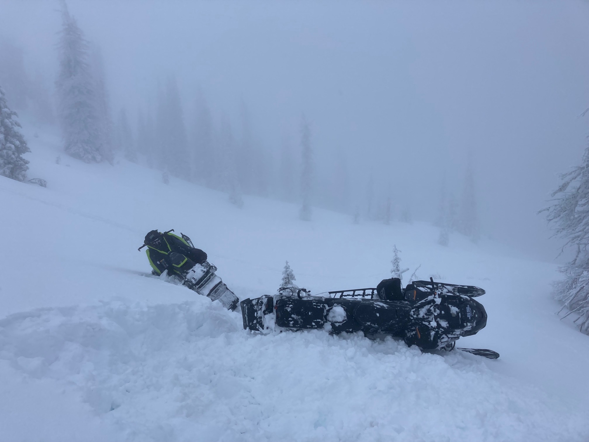
A snowpack that has endured several days of rain below 6000'. Above 6k, rain crust got thinner with elevation. No signs of instability noted in this area today. Poor visibility limited observations of upper elevation ridgelines. 3-6" of snow forecasted with SW winds will create wind slabs above 7000'. Snowpack appears to be strengthening from recent warmup.
Weather
- Cloud Cover
- overcast
- Wind Loading
- light
- Rain Elevation
- 4500
- Recent Snowfall
- 30-50cm since Friday (01/19)
- Snow Avail For Transport
- small smounts
It felt like a warm spring day leaving the parking lot. Clouds rolled in mid-morning and snowfall began around mid-day. SW winds began to pickup early afternoon and snowfall rates were light (S-1) but steady. Snow was falling down to 4900' around 1530, albeit very wet snow, it was snow.
Snowpack
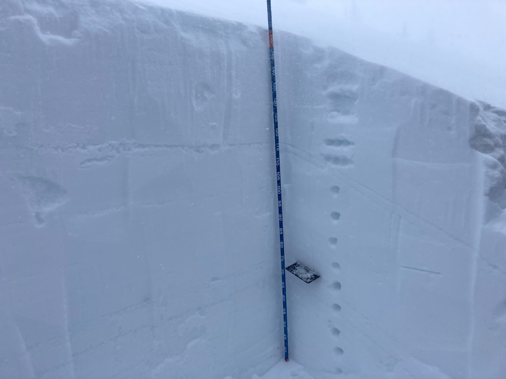
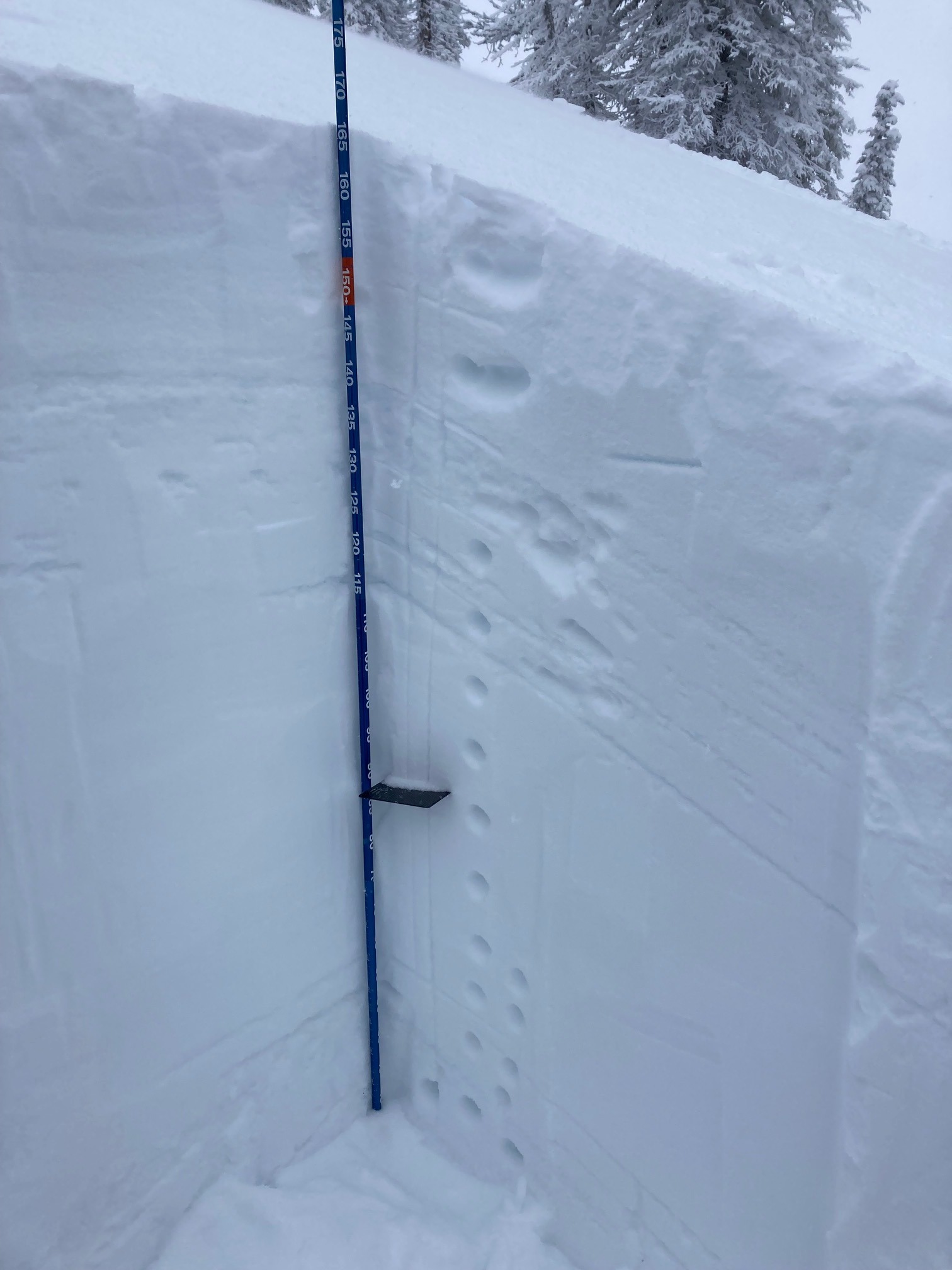
We dug two pits today. Both were around 7400', one was on an E aspect, the other on a NW aspect. HS was 155-170 cm (5.5 ft.). About 30 cm (12") new snow since Friday (01/19). Multiple rain crusts buried within the upper 30 cm. No propagation in ECT in either pit on 01/01 PWL or recent crusts. PST 80/100 End on 01/01 PWL 79 cm down.
Avalanche
- Size
- D1.5
- Type
- U
- Aspect
- NE
- Elevation
- 7500 ft
We observed some older avalanches on steep, NE facing terrain around 7500. These were D1-D2 in size and were filled in with recent snow. These older avalanches were just below the ridgeline that separates Granite Creek from E. Fork of Weiser. Visibility was very poor.