Queenstown

New Zealand · New Zealand Avalanche Advisory · parte di New Zealand

Vedi sulla mappa

Pericolo valanghe

High Alpine · above 1,800 m
2 · Moderato
Alpine · 1,200 m–1,800 m
2 · Moderato
Sub Alpine · below 1,200 m
2 · Moderato

Bollettino emesso yesterday · valido fino al Sep 20

Pubblicato da New Zealand Avalanche Advisory

Archiviato · scaduto 7 hours ago

Bollettino in corso

In sintesi

A significant rise in temperature is forecast for this afternoon. This will create a widespread increase in hazard.

Get in early and retreat to lower angle, shady areas this afternoon.

Problemi valanghivi

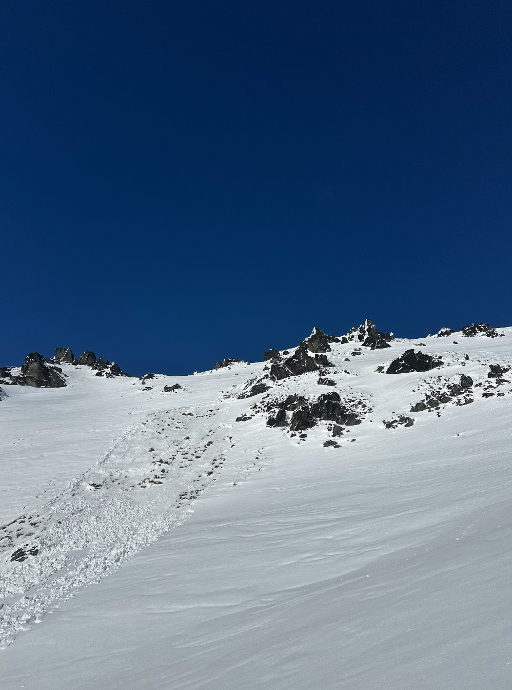
  • Loose Wet

    • Tutte le quote
    Probabilità
    Likely
    Dimensione
    1.5

    Loose wet avalanches are likely to become an issue today.

    Retreat to lower angle and shaded terrain in the late morning/afternoon.

    Roller balls and sticky snow are a sign of rising instability.

    The change will happen quickly today.

  • Wind Slabs

    • Tutte le quote
    Probabilità
    Possible
    Dimensione
    1

    Areas of windslab have formed around terrain features overnight.

    Avoid areas of obvious loading above cliffs or terrain traps and practise good group management.

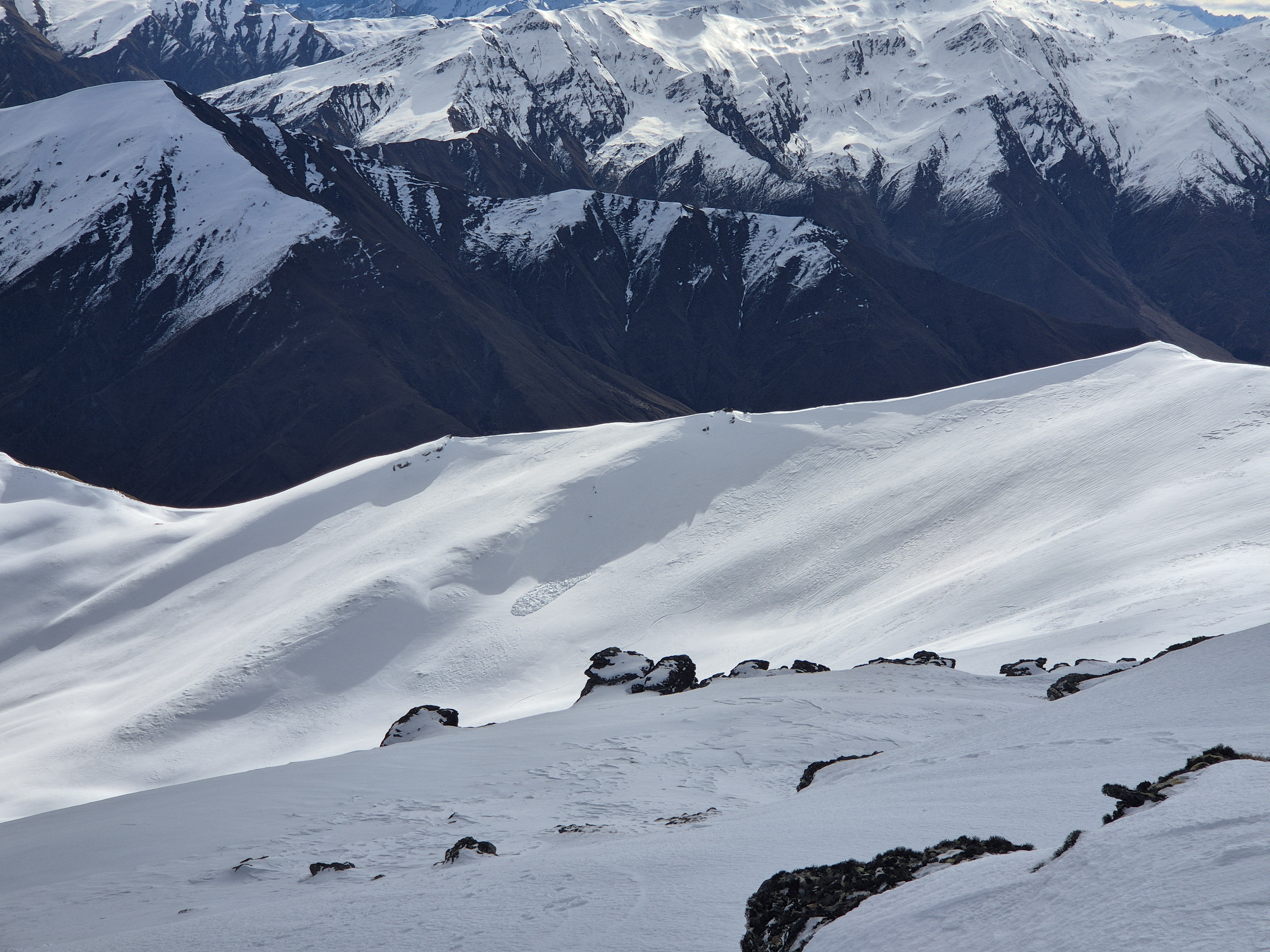
Recent Avalanche Activity

Minimal observations in the region yesterday.

Reports of Glide cracks in steep areas with tussock at ground at lower elevations. Avoid any areas with obvious cracks.

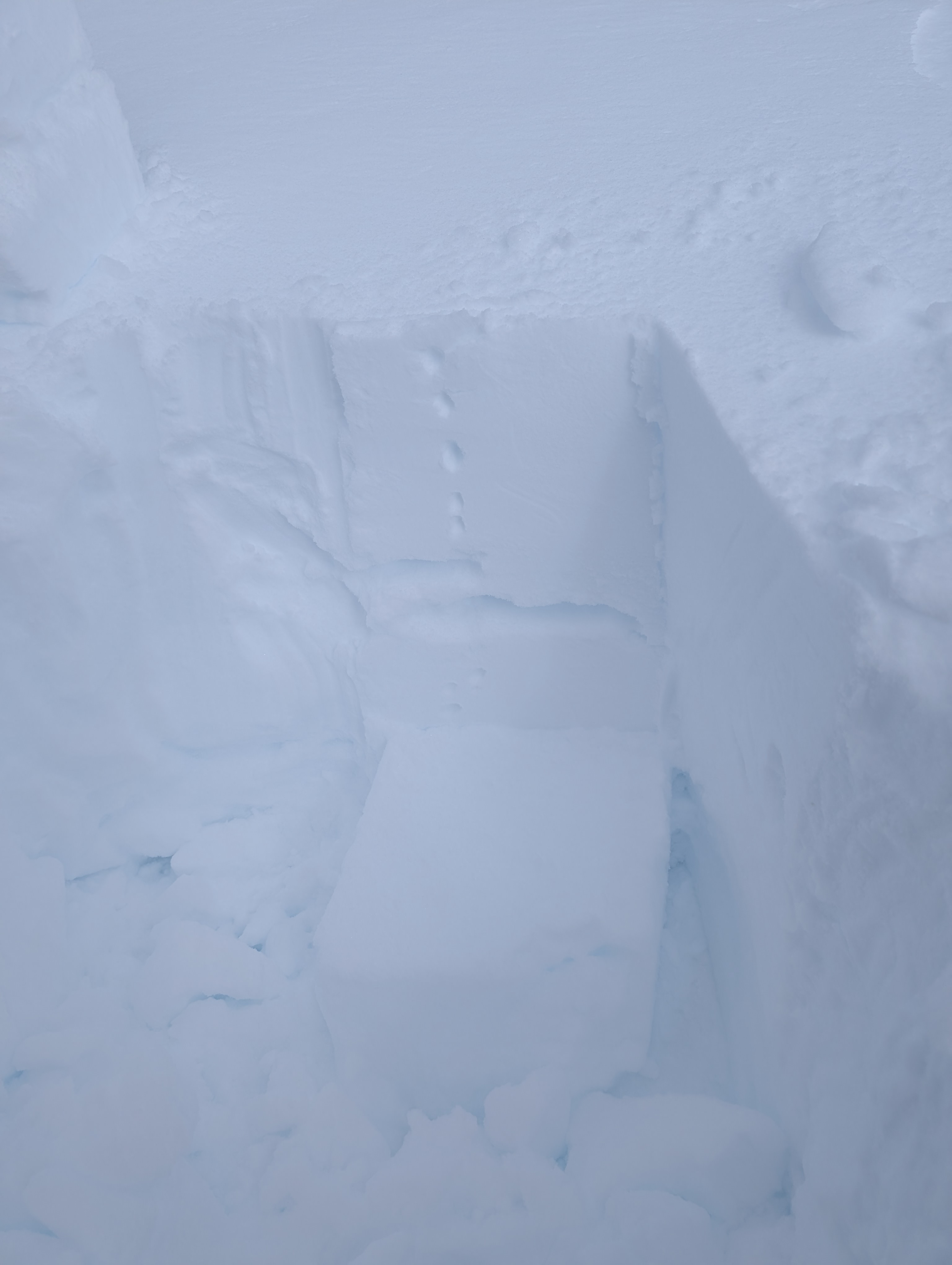
Current Snowpack Conditions

5-10cm of new snow yesterday afternoon and overnight, with a dusting to low elevations this morning. Severe Gale SW winds have stripped windward slopes and loaded lee slopes.

There was rain on snow at lower elevations yesterday. Moist/wet snow exists below the crust and throughout the snowpack at lower elevations.

Glide is beginning to occur on steep ground at lower elevations. This is going to increase as a problem, give any cracks a wide berth.

The snow line in the Eastern parts of the region is around 1400m. In the West it is closer to 1000.

Mountain Weather

Snow showers clearing to fine and Gale SW easing. A significant warming is forecast with the FAFL expected to rise to 3000m through the afternoon into the evening.

Sliding Danger

Expect windward (W, SW) slopes to be stripped back to a firm crust.

Forecast Confidence

High

  • We have a good understanding of the snowpack structure and confidence in the weather forecast.
  • We are confident the likelihood of avalanches will increase with the forecast weather.

New Zealand Avalanche Advisory (NZ Mountain Safety Council)

Andamento dei bollettini

AlpLimSott