


Quick report
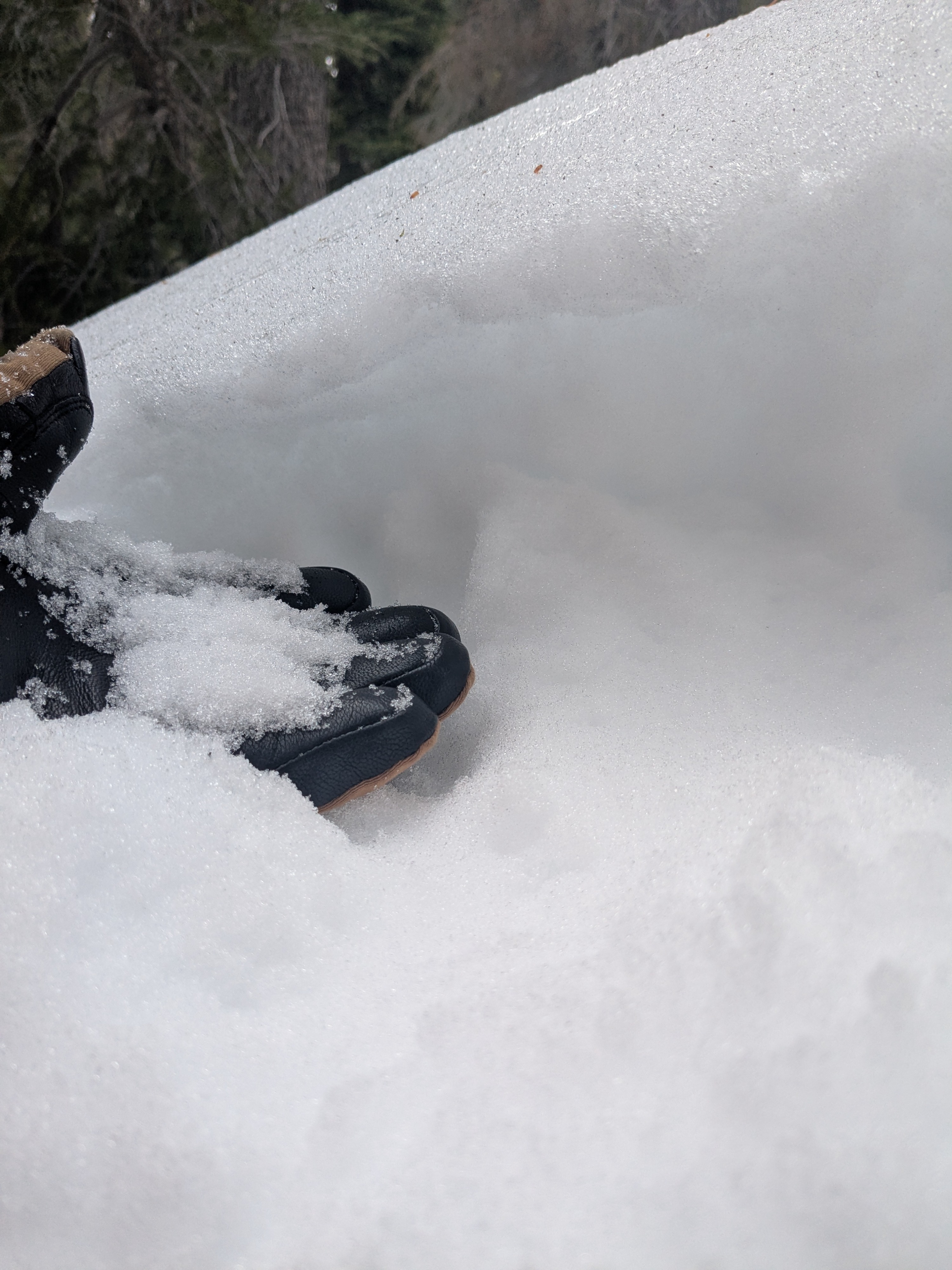
We went to Rubicon Peak this morning to map the surface rain crust across the 7,000' to 9,000' elevation range on northerly aspects. This rain crust formed out of precipitation during the afternoon and evening hours on Friday, Feb 6.
The rain crust was weak and had 4F hardness in all areas where it existed. As expected, the crust decreased in thickness as we gained elevation. The crust was 2 cm thick at 7,000' and decreased to 0.5 cm thick by 8,400'. At 8,700' the crust was barely present and absent at 8,800'. In all areas there was faceted snow below the surface crust. We also noted faceted snow below firmer surfaces made by old ski tracks and old skin tracks at all elevations. At 8,500’ and below the facets were moist. At 8,700’ and above the facets were dry.
In this specific area, around 8,400' and above seemed the most concerning zone for a collapsable weak layer following a new snow load. The crust over facets could become a problematic layer in lower elevation areas following a much bigger new snow load.
Weather
- Air Temp
- 30 to 34
- Cloud Cover
- overcast
Increasing cloud cover through the morning hours with periodic, very light snow showers. Continuous snowfall begain just before 12:30 pm at a rate of <S1.