
Quick report
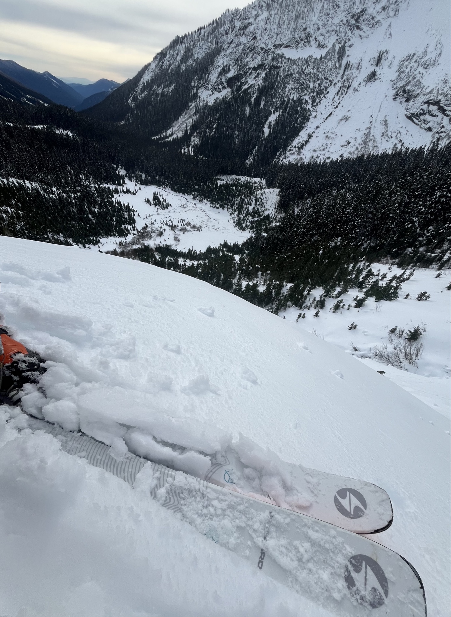
This last storm came in colder and dropped snow at fairly low elevations. I was hoping the snow-line would have actually been a little higher so I could have hiked in further, as this would have made for faster and more efficient travel to access alpine terrain. Made the following obs along the way: 1. Snow at the TH 2700 feet. 2-3 inches of snow continuously with about a 2cm raincrust sitting on top of it. Annoying, but walkable. At about 3200 feet the snow had deepened to about 4-5 inches and the crust was a little less pronounced. Made sense to transition to skins there. 2. At 4300 feet, HS ~30cm. 10 cm rain/melt-freeze crust was mostly supportable and made for very efficient travel. Obviously, some early season BS to contend with, but certainly less burdensome than anticipated. Mostly just periodically encountered weak snow bridges over fallen alders. 3. Above 5000 feet in basin snow was 60cm deep and supportive. 4. Arduous skinning during the transition period from BTL/TL and into the alpine, specifically in steeper/wooded terrain. 5. A little sluffing from steeper rock in the alpine as it got warmer, but no gross instabilities noted throughout the day. 6. Coverage was sufficient and got some good turns in from 7000ft down to 5000ft. Was fortunate to have started the day early so the skiing was fairly smooth and corn-like for the decent. Skied lightly and didn’t hit any rocks. It’s all likely to change a lot with the rain/snow coming in. We’ll just to see how warm it comes in and how this affects the preexisting snowpack. Upper elevations are expected to receive more snow/rain, and I’m hopeful the rain-line doesn’t settle out too high. I’d anticipate (or am at least hopeful) skiing will be good in selective terrain above 7500ft. Rain will likely wash away snow at lower elevations as well, which will allow easier entrance via trail to higher elevations/alpine terrain.