
Quick report
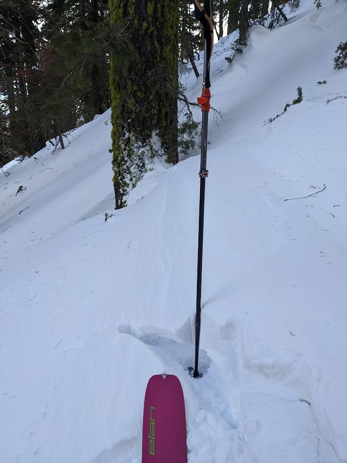
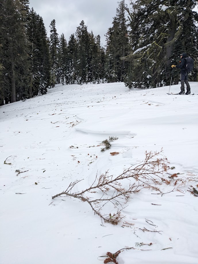
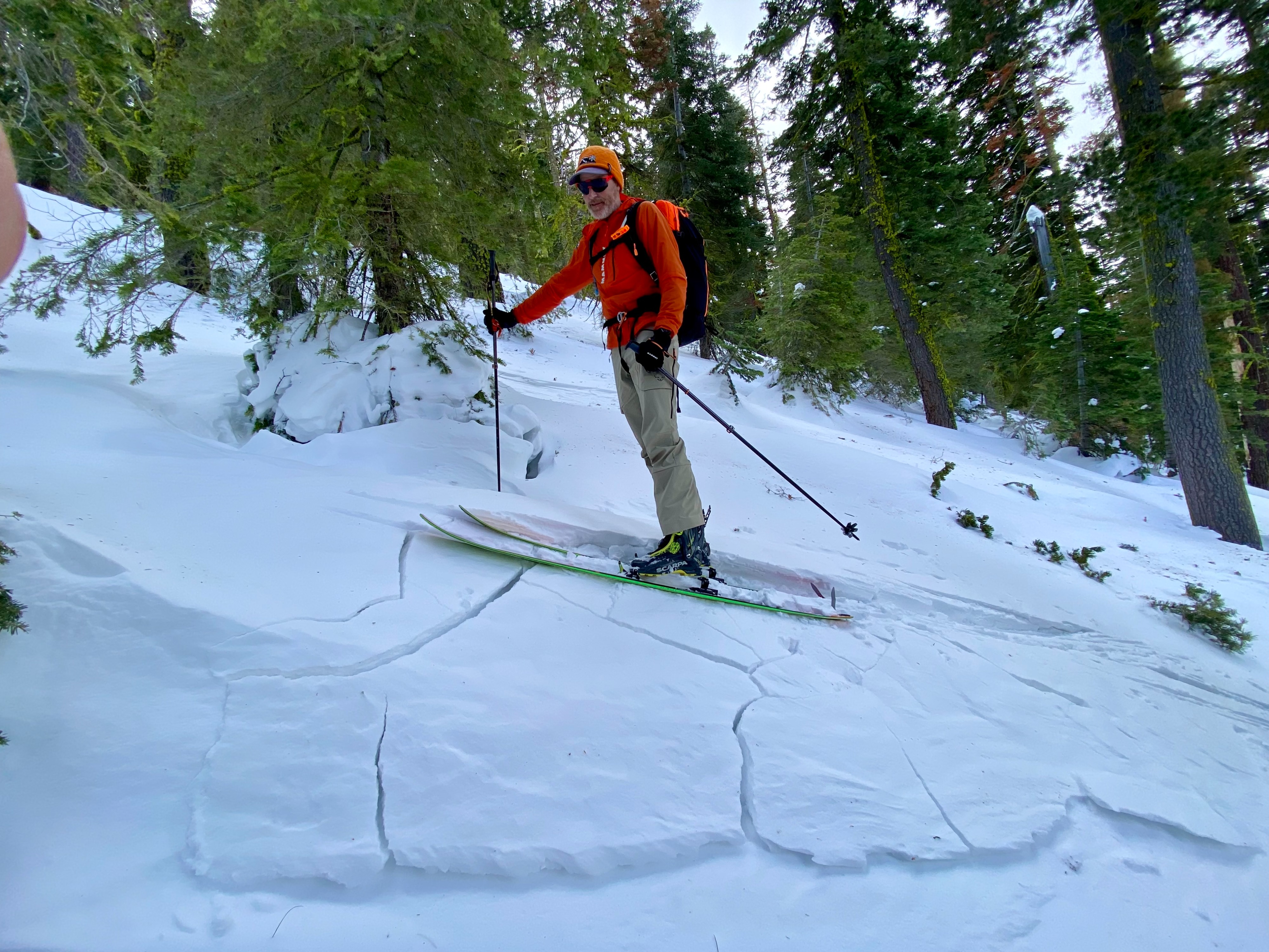
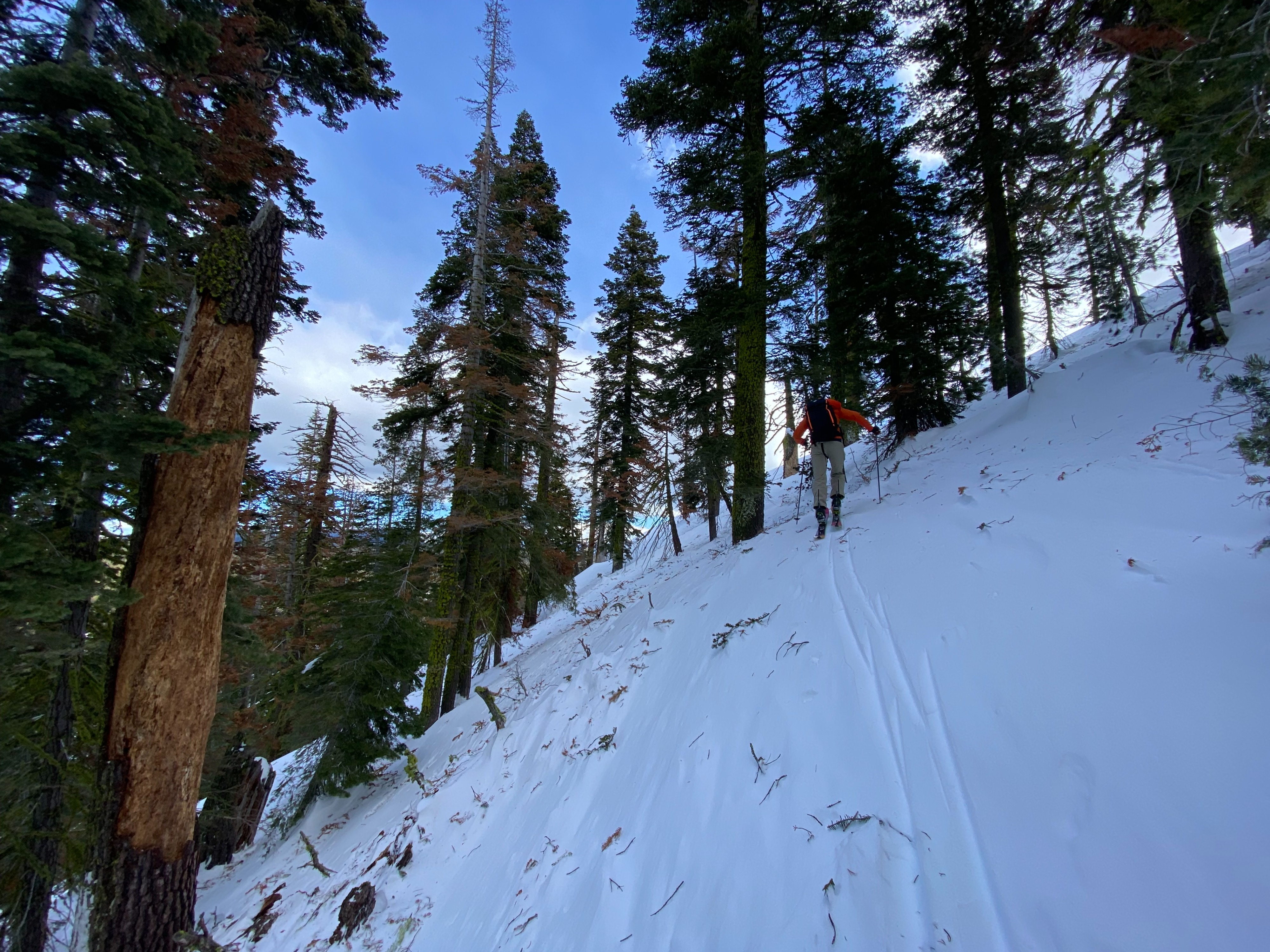
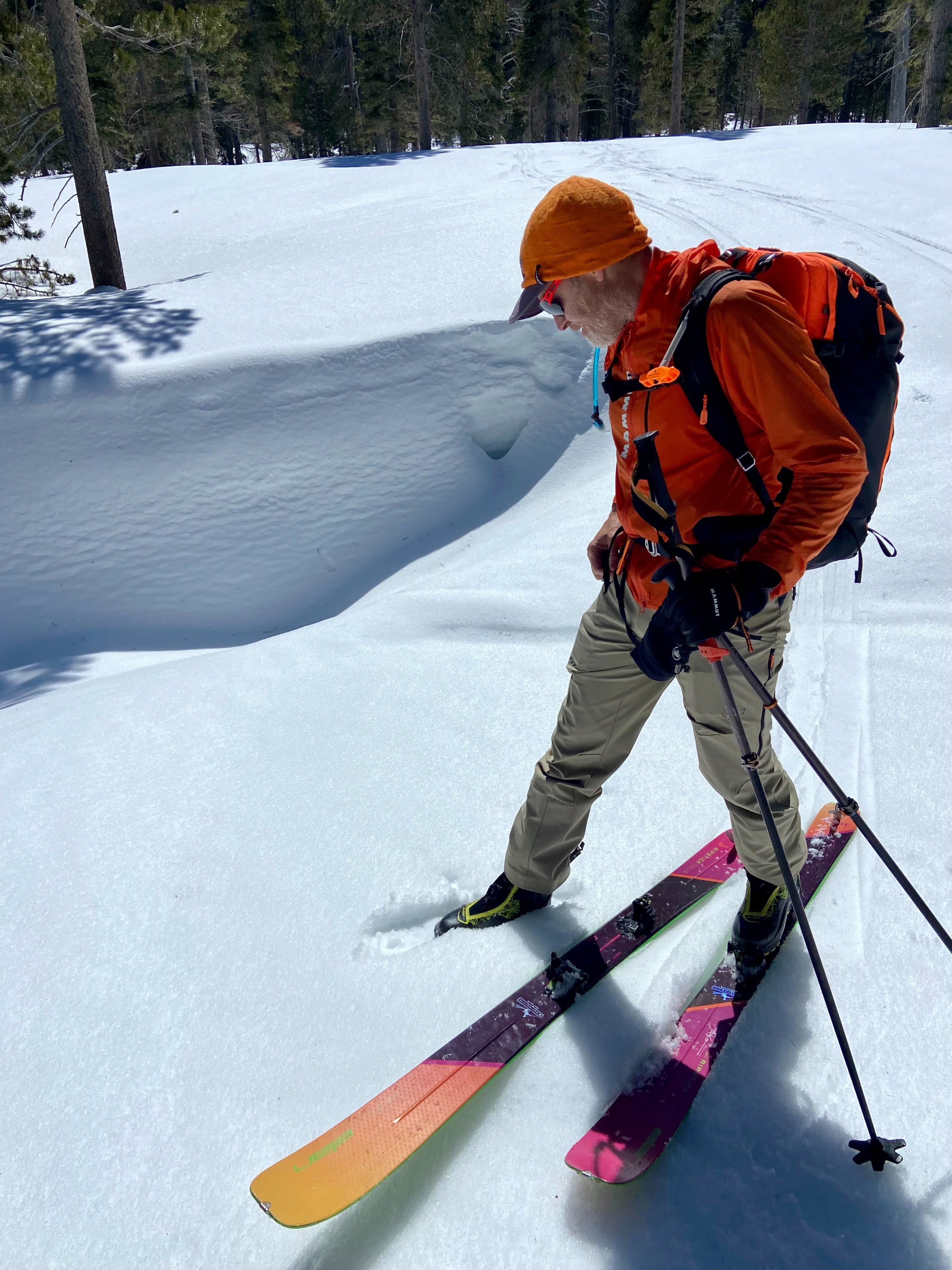
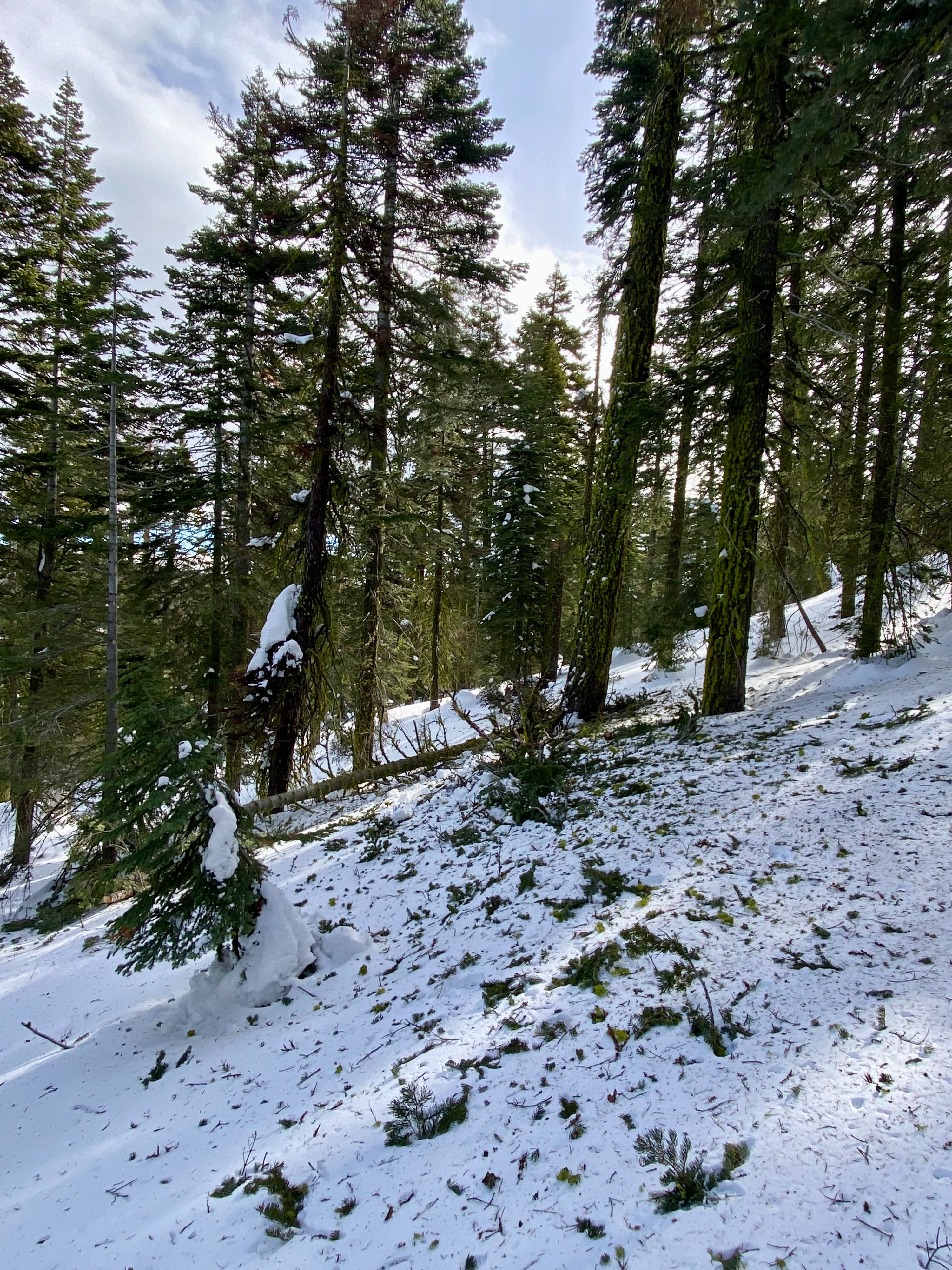
We visited Polaris Point and Stanford Rock to assess wind slab development and wet snow instabilities. We found extensive evidence of recent gale-force NE winds. These conditions have resulted in widely variable snow surfaces. Ridgetops and wind-aligned / exposed terrain consisted of windboard, scoured crusts, and wind features. Wind slab development was noted in BTL terrain. Small wind-loaded test slopes cracked when we kicked them. Most of these were 3 to 4 inches deep, but some got up to 8 inches deep in spots. We noted signs of wind loading on larger slopes but did not venture onto these slopes. Heavily sheltered N-facing terrain still held unconsolidated cold snow. Any deviation from true N aspects led us to into areas with unsupportable crusts and more variable surfaces. At Stanford Rocks, it was apparent that our plan to assess wet snow development on higher elevation S aspects was futile as we had full cloud cover and could observe snow showers in the greater South Lake area and into Desolation Wilderness. Clouds mostly cleared out by 1 pm, and we noted wet snow development on an S aspect at 6,800' with ~2" boot pen.
Weather
- Air Temp
- Below freezing
- Cloud Cover
- broken
- Wind Loading
- light
- Recent Snowfall
- 0
- Snow Avail For Transport
- small smounts
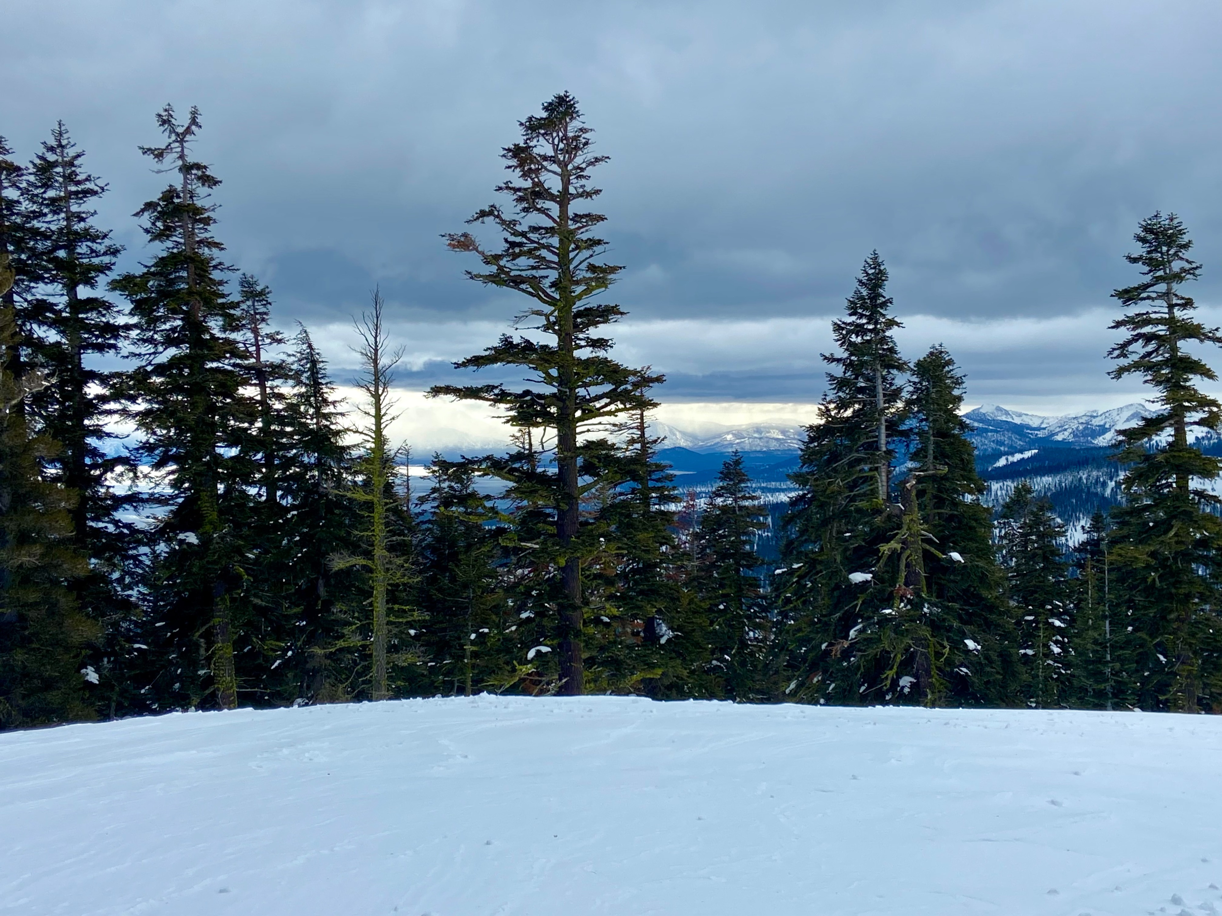
More cloud cover and snow showers than forecasted during the mid-morning hours, especially in the southern end of the forecast area. By 1 pm, the clouds had mostly dissipated leaving behind mostly sunny skies.