
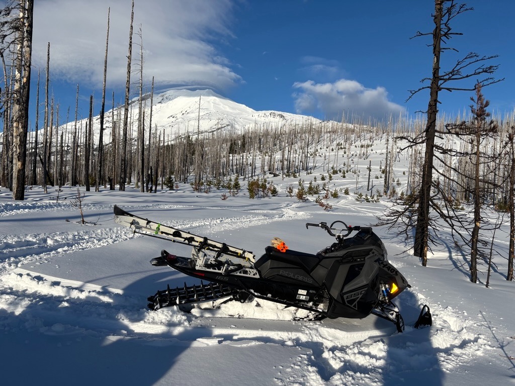
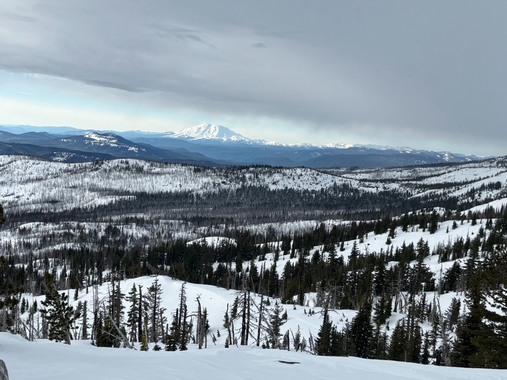
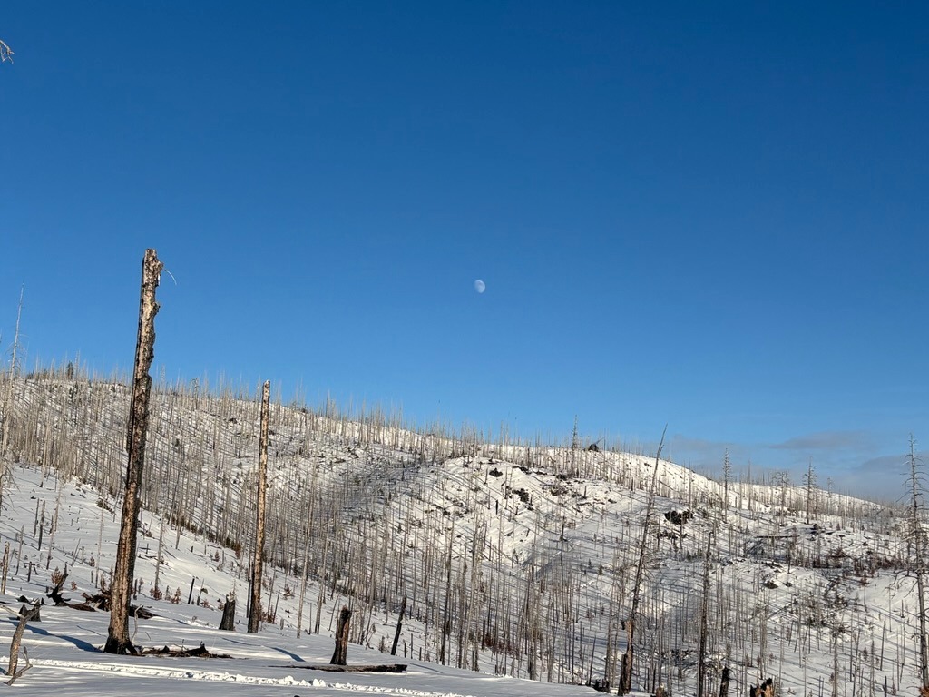
Quick report
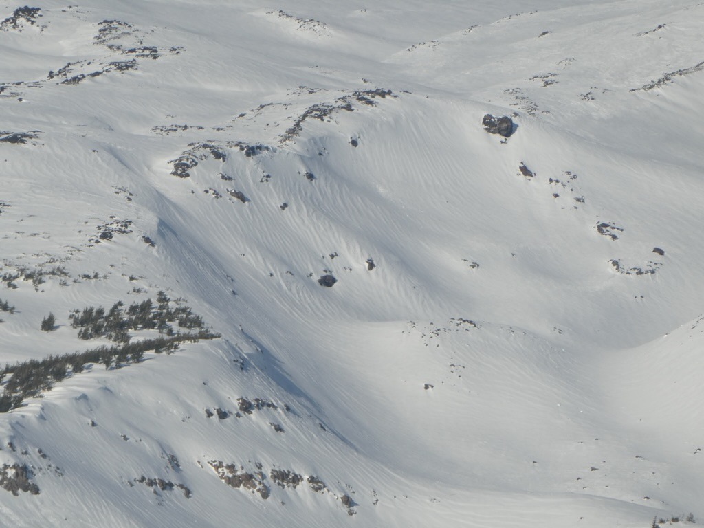
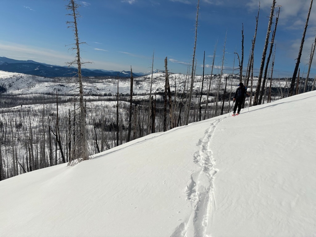
The snowpack remains pretty shallow and sharky below 5000 ft in this area. Once above this elevation, we found fun riding and generally safe avalanche conditions across the terrain. We observed some signs of recent wind loading above 7000 ft, but these pockets seemed stubborn and well-aged. The upper 30 cm (1 ft) of the snowpack isn't too much of an issue right now, but it will be worth keeping tabs once we receive a more significant loading event.
Weather
- Air Temp
- Below freezing
- Cloud Cover
- broken
- Wind Loading
- none
- Recent Snowfall
- 30 cm from 12/7 & 12/8
- Snow Avail For Transport
- moderate amounts
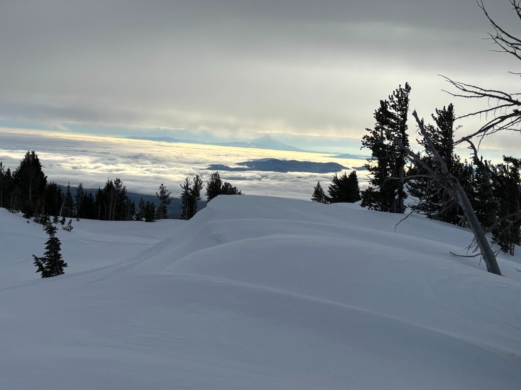
We broke through the inversion into gray skies around 3500 ft. The day progressively got sunnier, which made for a pleasent afternoon.
Snowpack
Snowpack depths along FS Rd 8040 towards the South Climb TH:
- HS @ 4300 ft: 60 cm
- HS@ 4600 ft: 80 cm
- HS @ 5900 ft: 135 cm
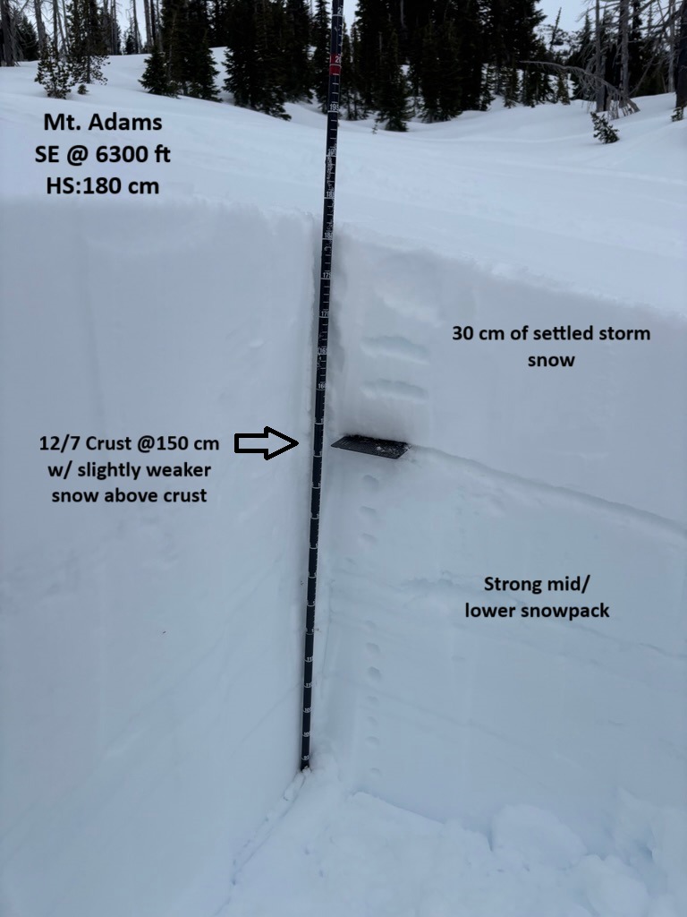
- HS @ 6300 ft: 180 cm
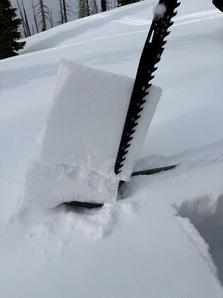
We went out to investigate the 12/7 crust and to track surfaces ahead of our next systems. On average, we found the 12/7 crust buried by 30 cm of settled storm snow from this past weekend. This P hard rain crust did have some slightly weaker snow above, which snowpack tests highlighted. CT's and Shovel tilt's failed with moderate force, while ECT's failed to propagate. Will this crust be an issue moving forward? Maybe - maybe not. Time will tell, but it will be worth keeping an eye on regardless.
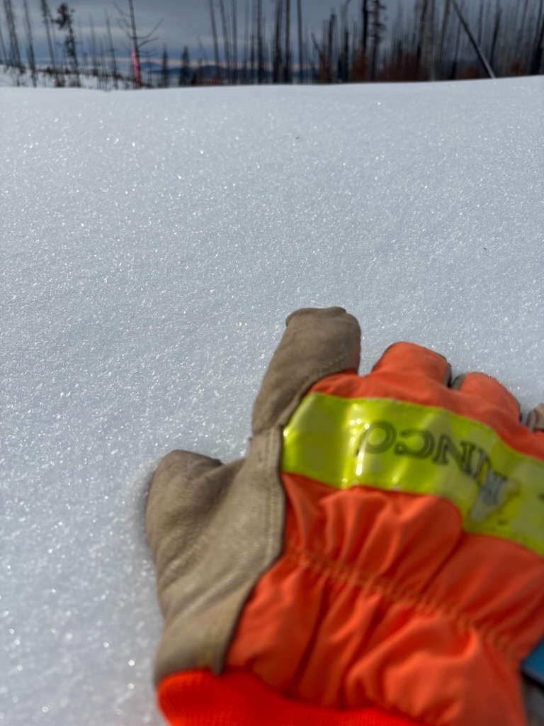
Surfaces are variable. SW-SE aspects have a crust from recent warming. We found this crust to be most prominent on steep south. N-N-NE-E aspects are holding onto cold, preserved snow and fun riding conditions. We did find some isolated surface hoar & NSF's in wind-sheltered pockets between 4500-6500' . Wind-textured surfaces became more widespread at our transition point at 6700 ft.