
Quick report
- Collapsing
- isolated
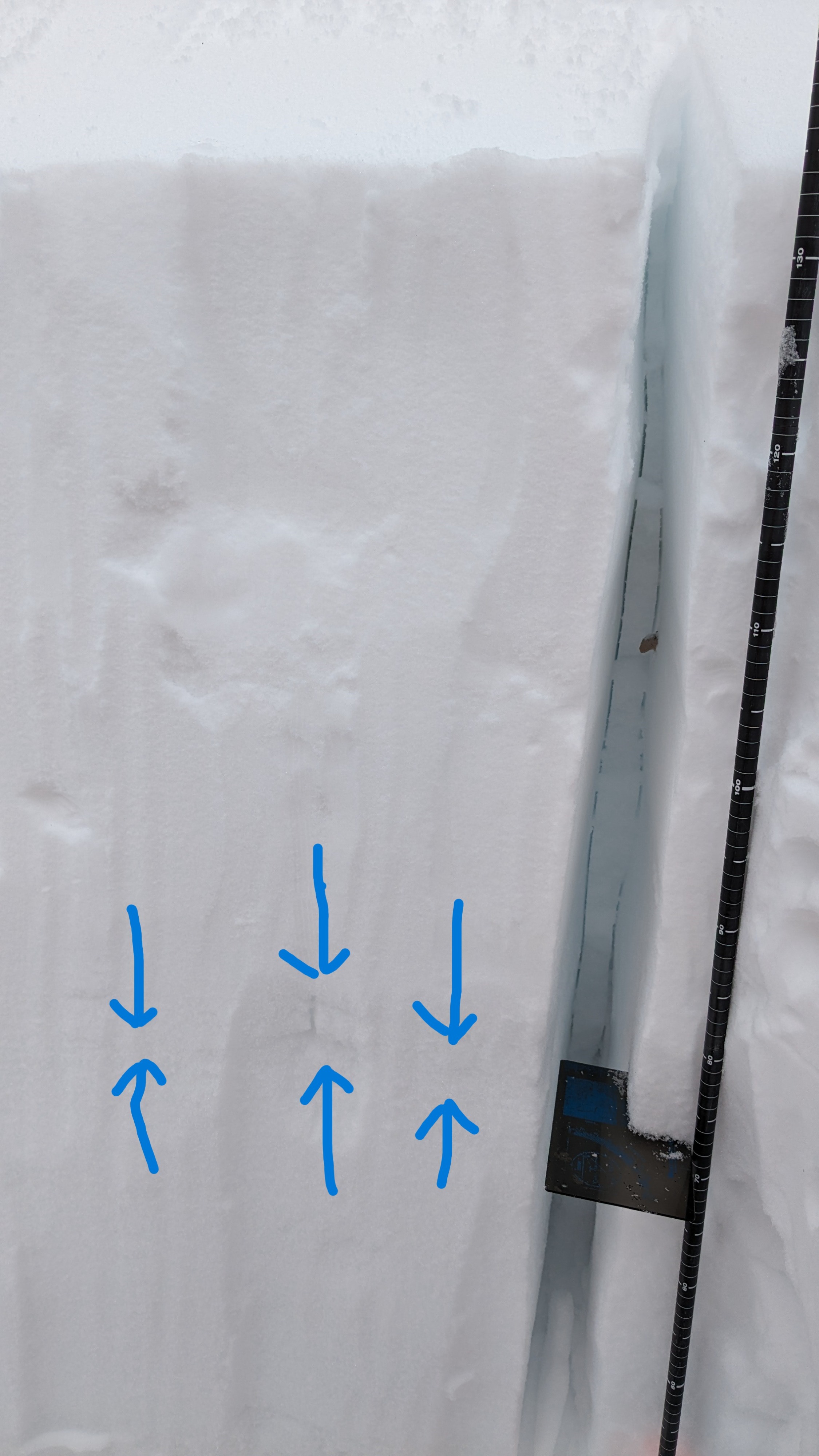
I went to Incline Peak today to have a look at the faceted snow and depth hoar near the bottom of the snowpack ahead of the next new snow loading event expected for tomorrow. The overall snowpack height in this area has about doubled in the past week thanks to the recent storms. This has substantially increased the snow load on top of this old weak layer that went dormant in late Dec. My snowpit tests both yesterday (Carpenter Ridge) and today on Incline Peak give some indication that this weak layer is moving towards becoming reactive again following the new snow load.
On the ridgetops there was still moderate amounts of snow available for drifting by today's W winds, especially if they were to mix down to the 8,000' level. Ridgetop wind speeds at 8,500' in this area were much less than the speeds that the Slide Mountain sensor was recording today at 9,650' during my time in the area.
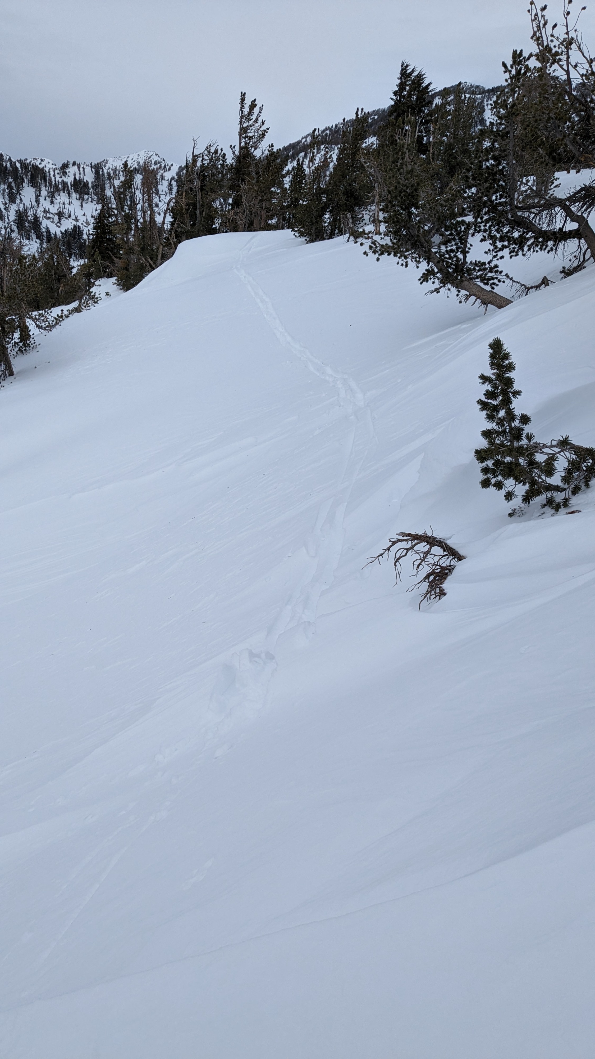
I triggered one collapse of about a 30 foot radius in an open below treeline terrain on a NE aspect.Weather
- Air Temp
- 22
- Cloud Cover
- overcast
- Wind Loading
- light
- Recent Snowfall
- 46
- Snow Avail For Transport
- moderate amounts
Increasing ridgetop winds, drifting snow observed during gusts.
Snowpack
The expected weakness of the Jan 2 PWL was observed along with indications that the facets and depth hoar near the bottom of the snowpack are waking up from dormancy.