
Quick report
- Aspect
- South
- Elevation
- 3048 m
- Slope Angle
- 34°
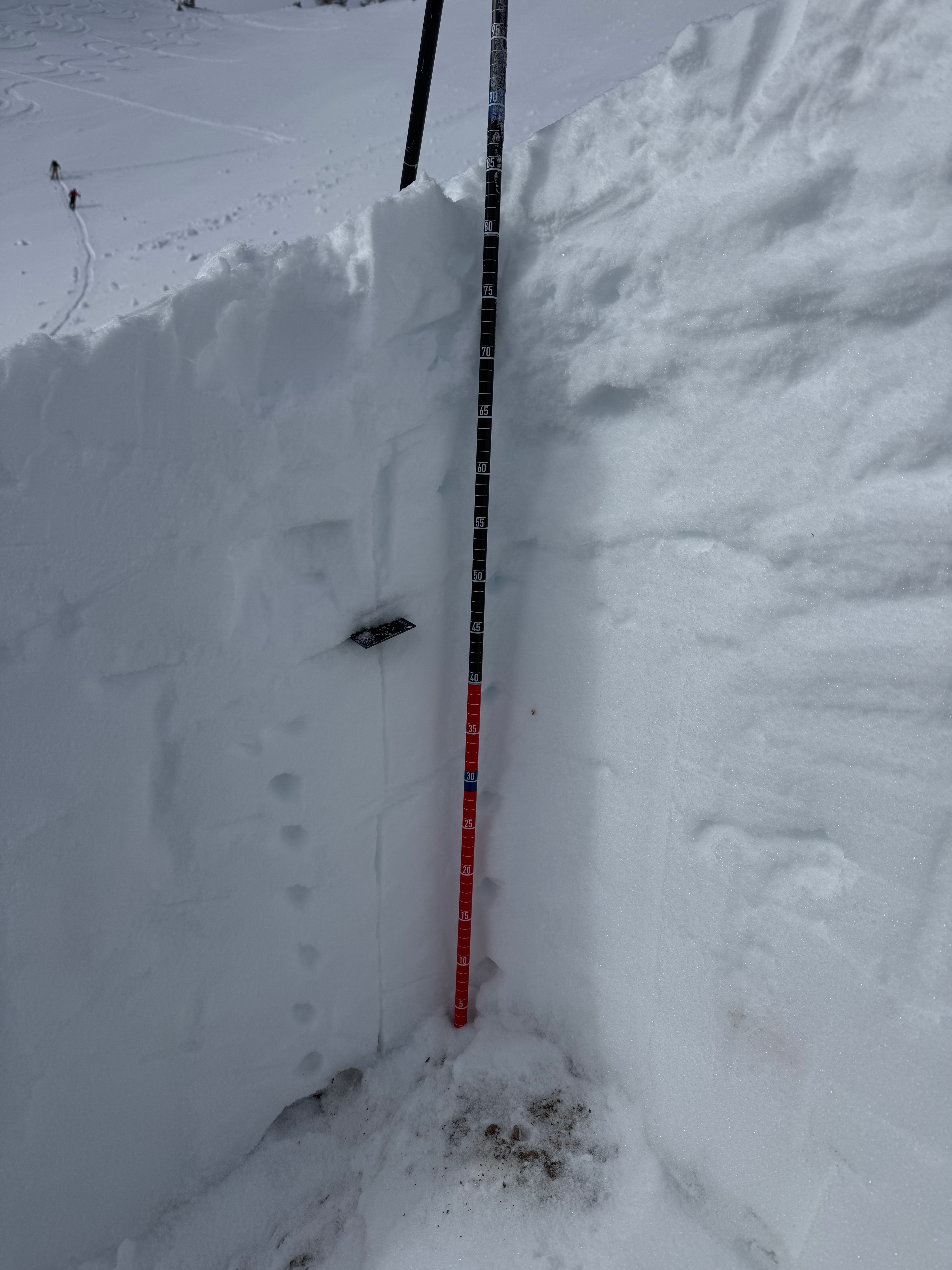
In this hand dug snowpit on a south facing aspect I found a total depth of 34" (88cm). The weakest snow was a layer of facets underneath a melt freeze crust 10" (23cm) from the surface. I was able to get non-planar propagation on this layer with extended column tests. The snow surface was new snow you could feel the melt freeze crust on your tails on all but the most shallow terrain on south and west facing aspects. The facets near the ground showed signs of rounding and the temperatures verified this in the bottom 12"-14" of the snowpack in this location. I've attached the Snowpack Model from Atwater as the bottom graph for comparison.
Photo of still visible crown from avalanche reported last week in Cardiff. This most recent storm snow was not enough to fill in old crown lines and repeater slopes are on my radar as places to avoid if they get filled back in with storm or wind drifted snow.
Snowpack
- Instability Comment
- <p>Shallow wind drifted snow with minor cracking 3"-4" deep and shooting out maybe 10' from skis. This was isolated to wind rolls below 9,000' where I traveled and I did not notice it at higher elevations. </p>
6" settled snow depth from the last storm above 9,000' with more snow below that. Snow surface was mostly soft although on south and west facing slopes over 25° degrees you could feel the old snow surface with your tails when making turns. Lower angle terrain was better travel on these aspects. West facing terrain had old hard rollerballs from warming prior to the storm.