
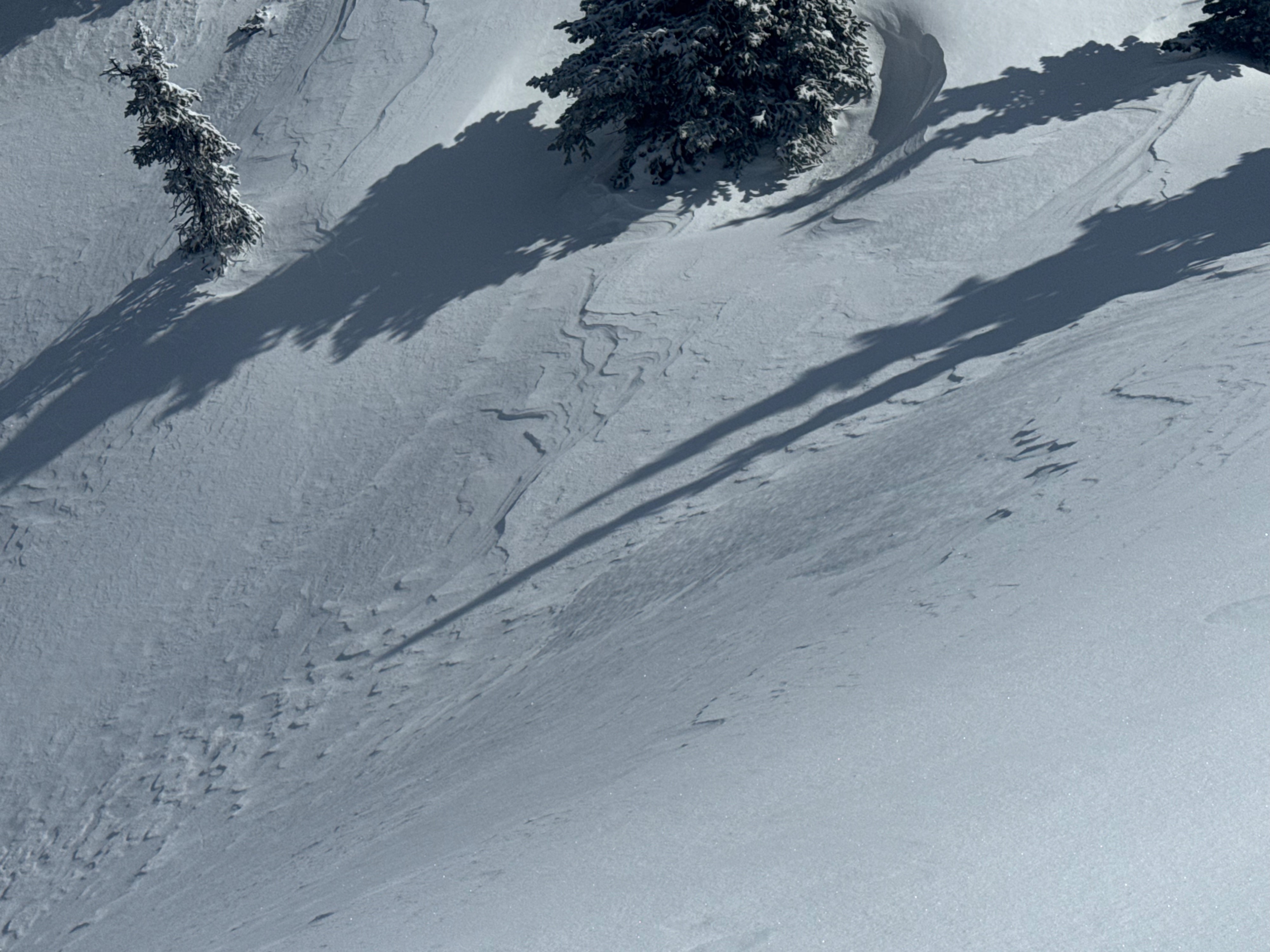
Quick report
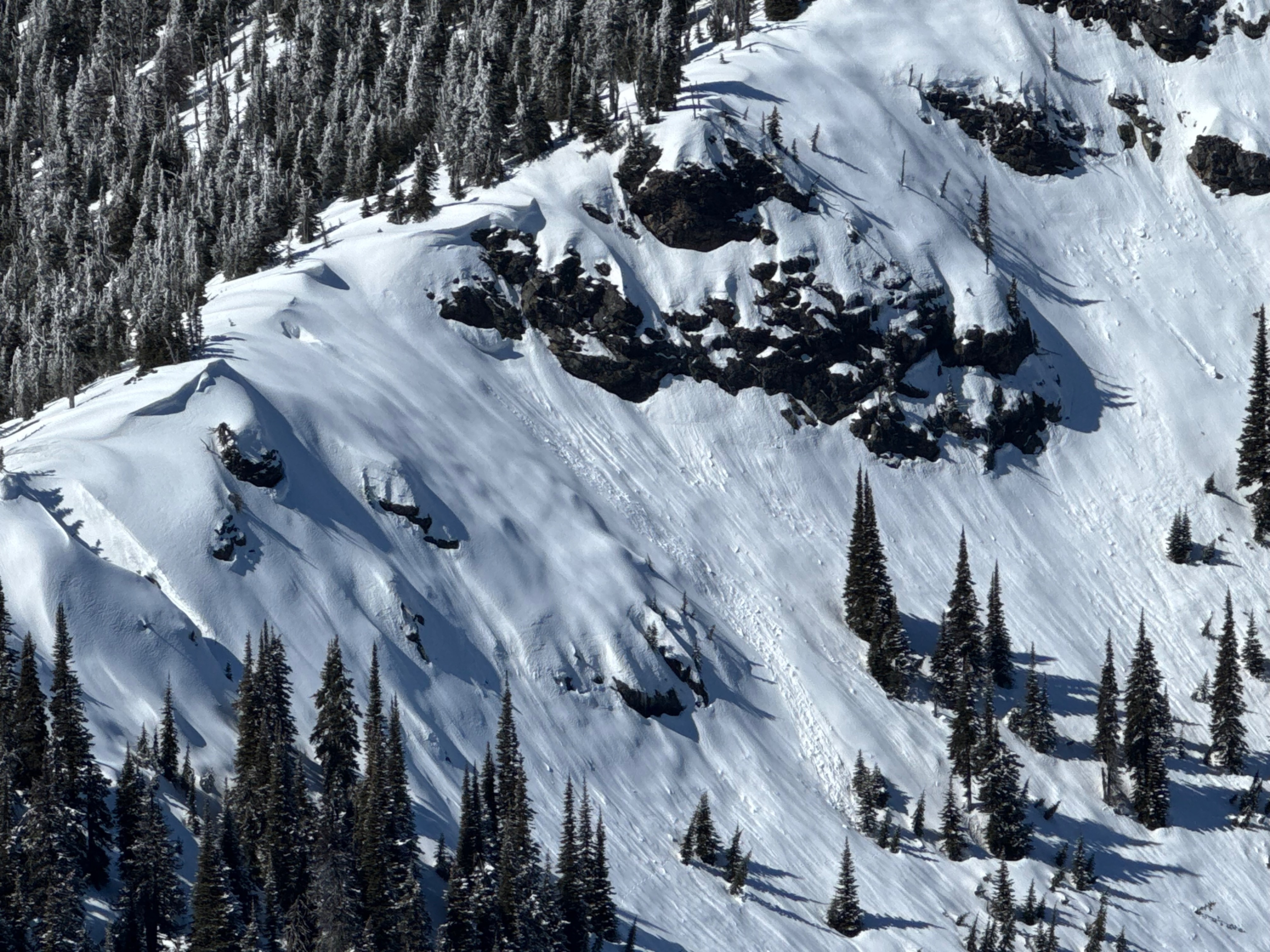
The combination of cool air, light winds, and modest new snow totals made for a nice day in the mountains with minimal concerns for avalanche hazards. 3 inches of new snow within the last 24hrs remained light and dry above 6000 feet for most of the day, and was just enough new snow to noticeably improve the skiing quality. Later in the afternoon, I observed a few small loose wet avalanches initating near steep rock outcroppings being bathed in springtime sunshine. Due to the small amount of dry snow at the surface, these point releases did not amount to very much debris.
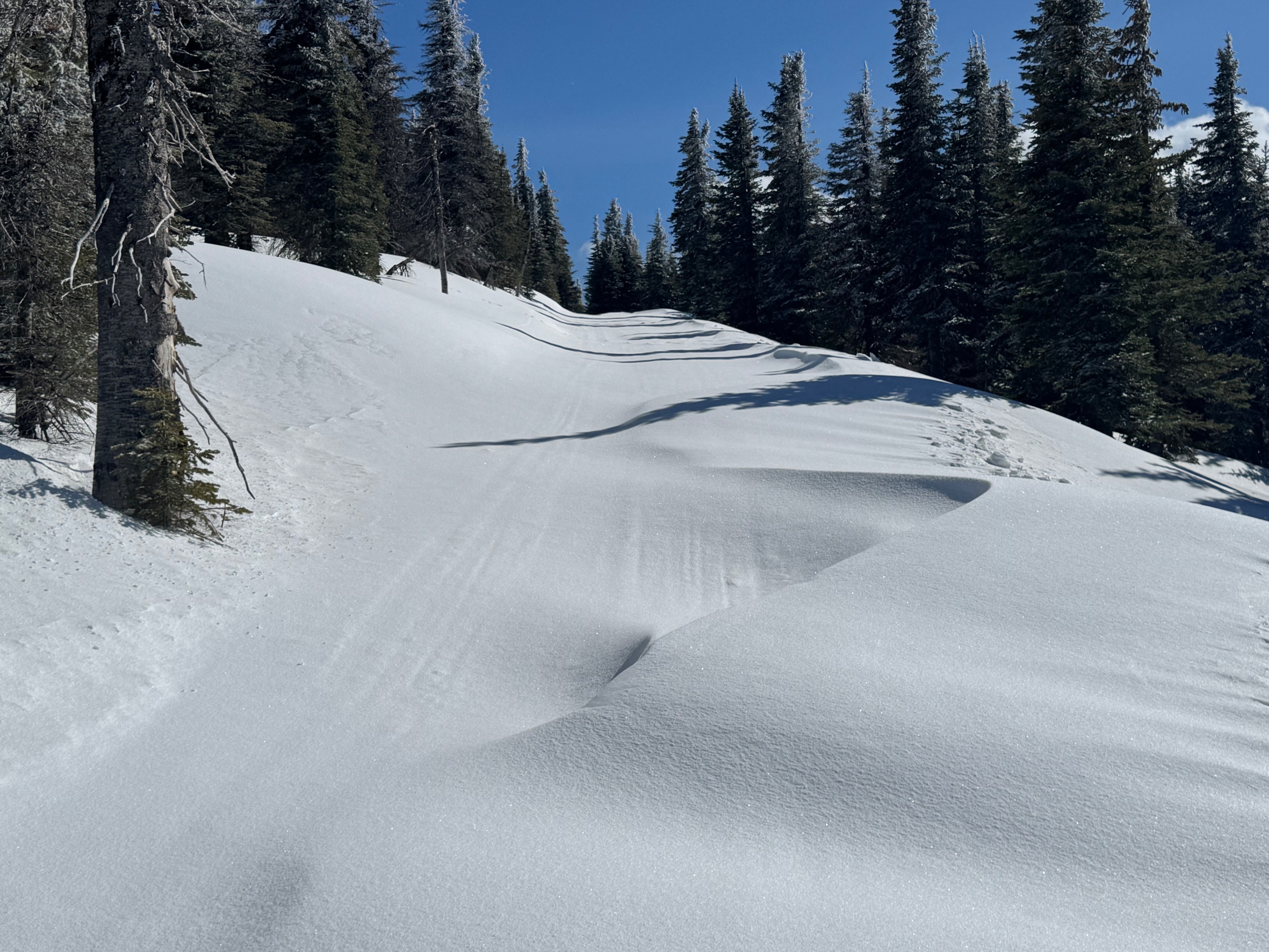
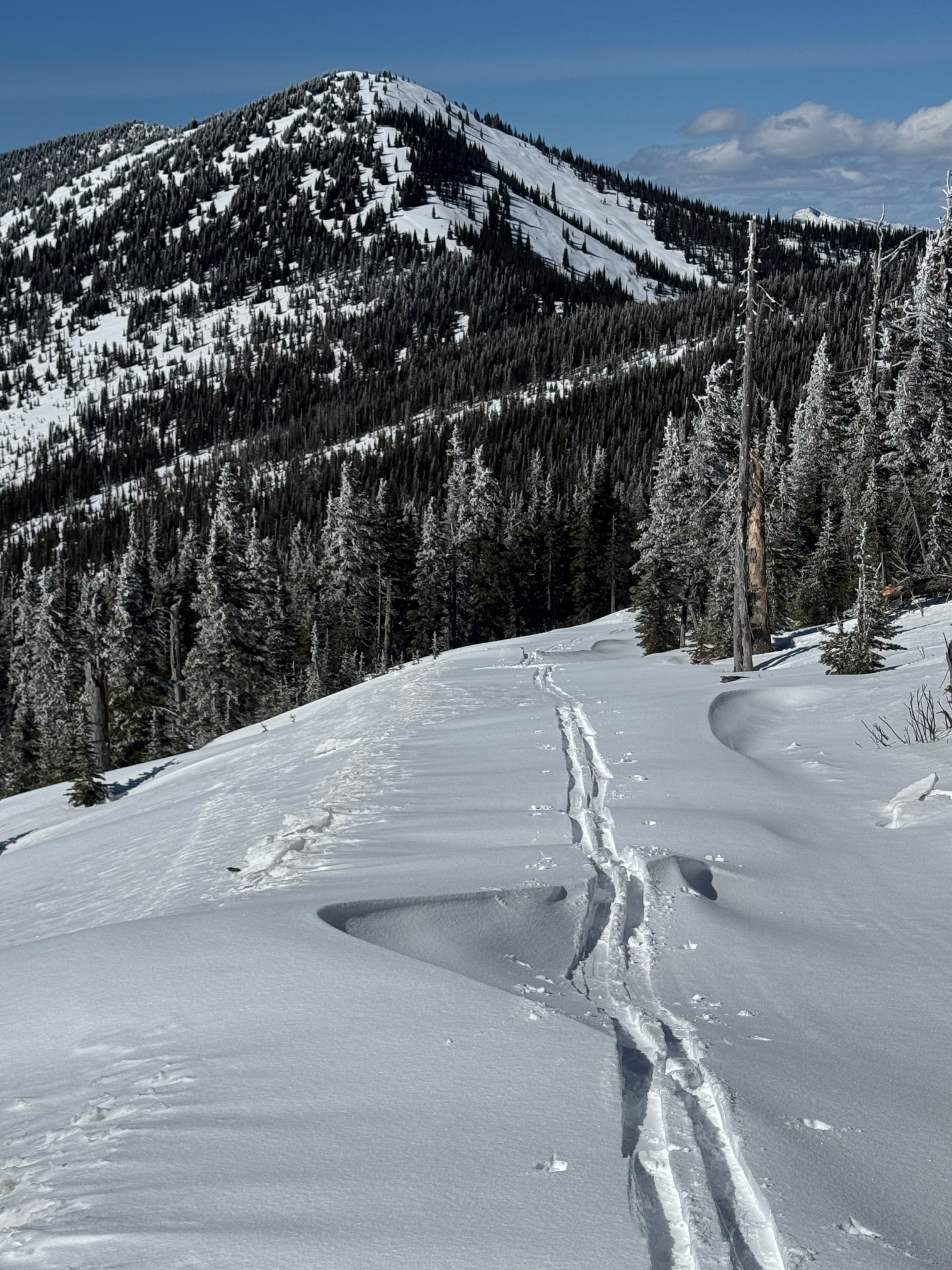
At middle elevations on a windward aspect, I observed fresh drifts more than a foot think that formed within the last 24-hours, but they were not building much more today under relatively light winds. These drifts were most prevalent while skiing along the snowmobilie/snowcat tour roads that occasional crosses through more open slopes exposed to the westerly winds. I was impressed by the depth of some drifts despite having relatively little new snow to work with.
Weather
- Air Temp
- 25°F @ 6,000 feet (12:00PM)
- Cloud Cover
- few
- Wind Loading
- light
- Rain Elevation
- not observed
- Recent Snowfall
- 8cm
- Snow Avail For Transport
- small smounts
Cold and mostly clear day with light west northwest winds.
Snowpack
3 inches of recent snow caps a very stout and strong upper snowpack. Meltwater from warming events and rain during the last few weeks has move through the upper 2 feet of the snowpack which is now dry again and composed of multiple thick and very hard crust layers. Moist/Wet snow can be found 27 inches below the surface as a remant from the unseasonably warm weather recently.
Avalanche
- Size
- D2.5 R2
- Type
- WS
- Aspect
- SE
- Trigger
- N
- Elevation
- 6200 ft
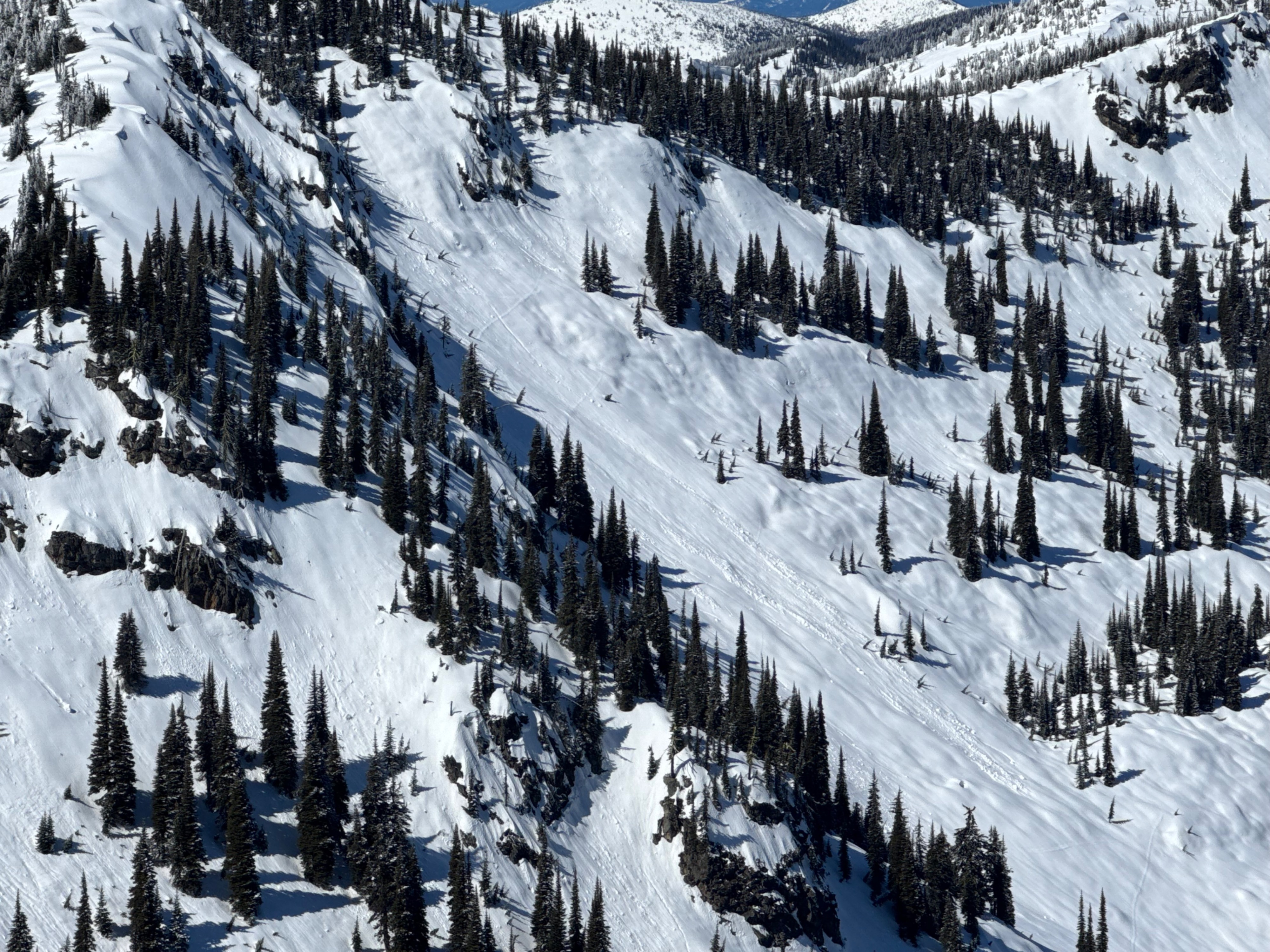
Glide avalanche observed on an unnamed peak north of Blue Mountain and south of Keokee Mountain. Estimated to have released on March 20th, 2026 during significant warming and light rainfall at all elevations.