
Quick report
After some surficial overnight freezes, and more expected, I wanted to dig into the snowpack to see how deep things were getting wet.
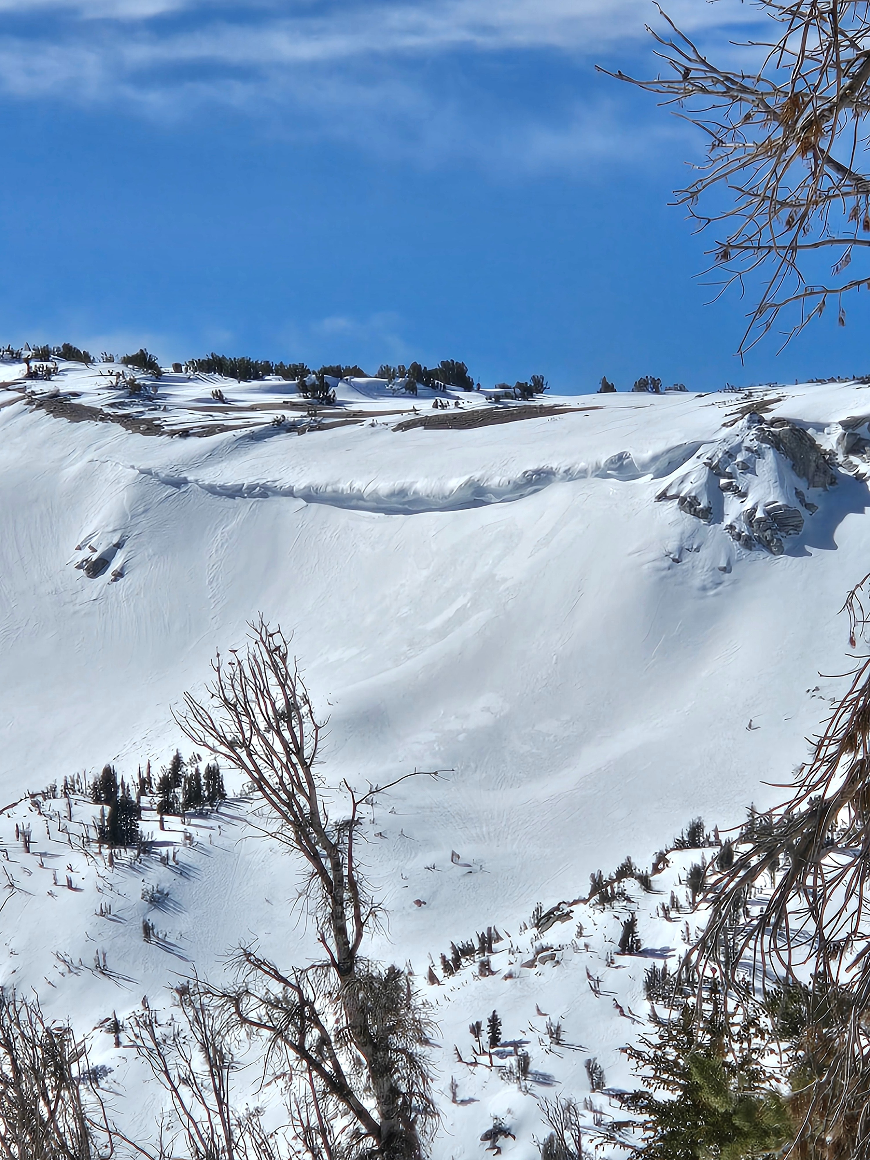
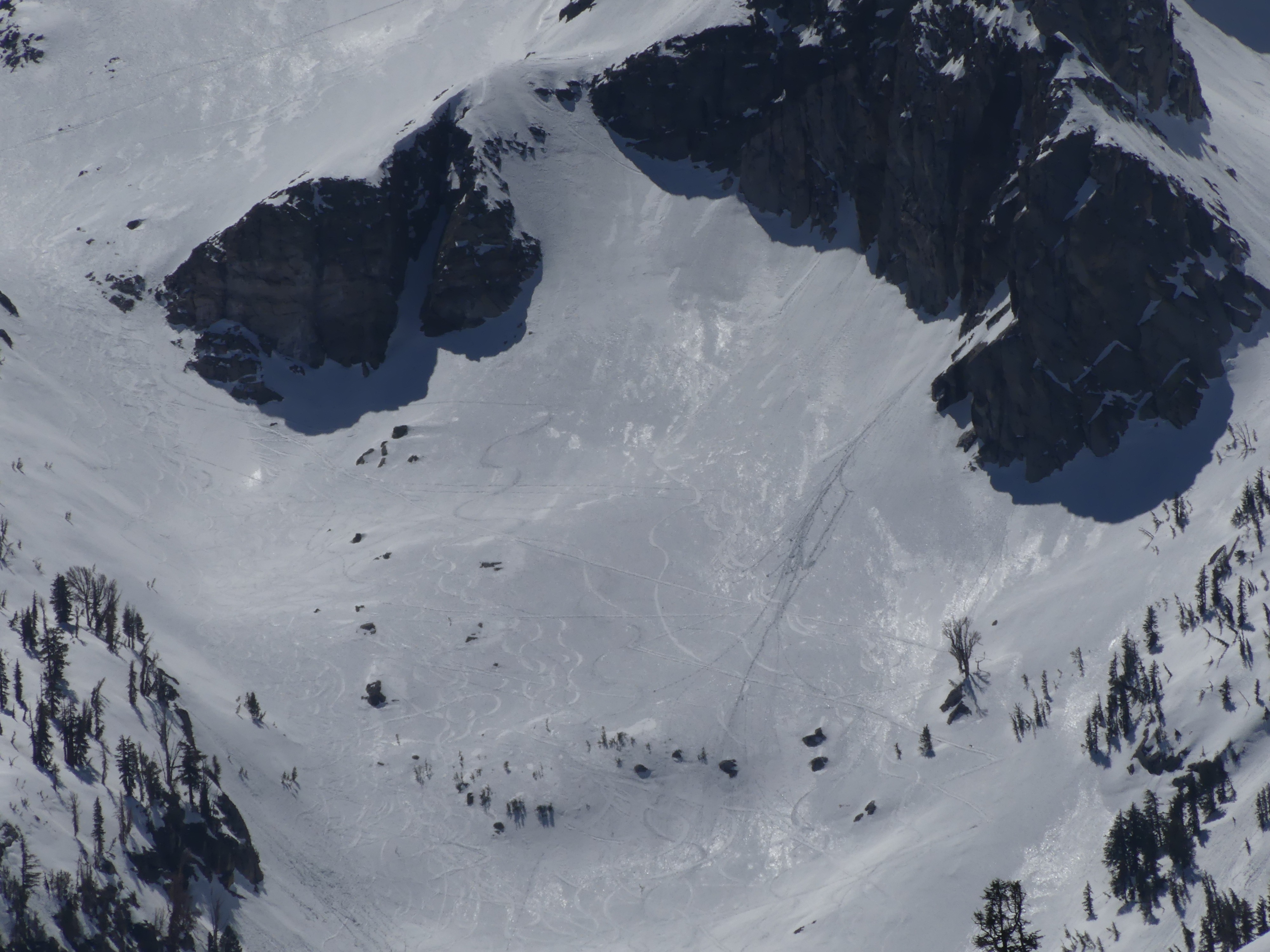
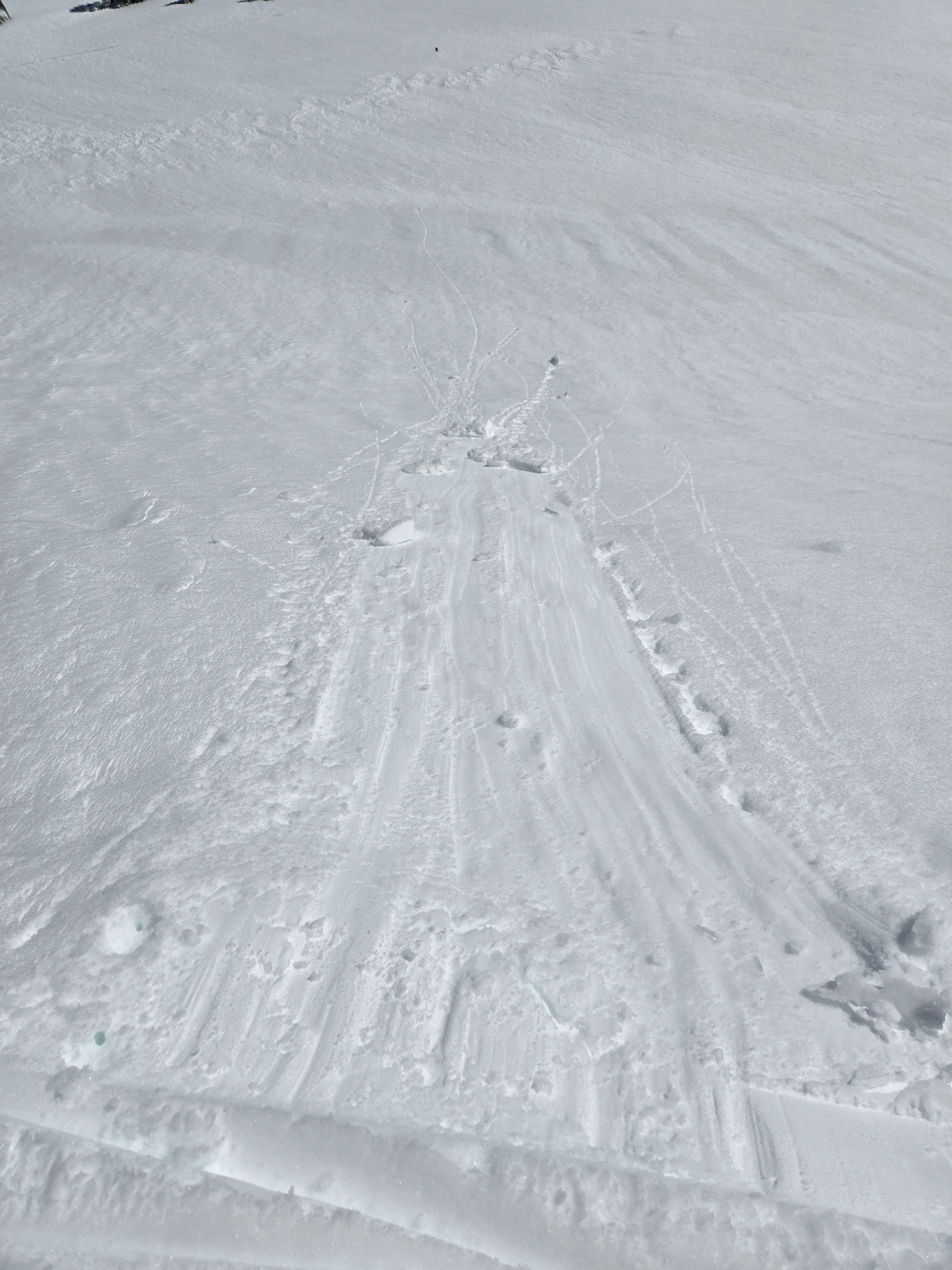
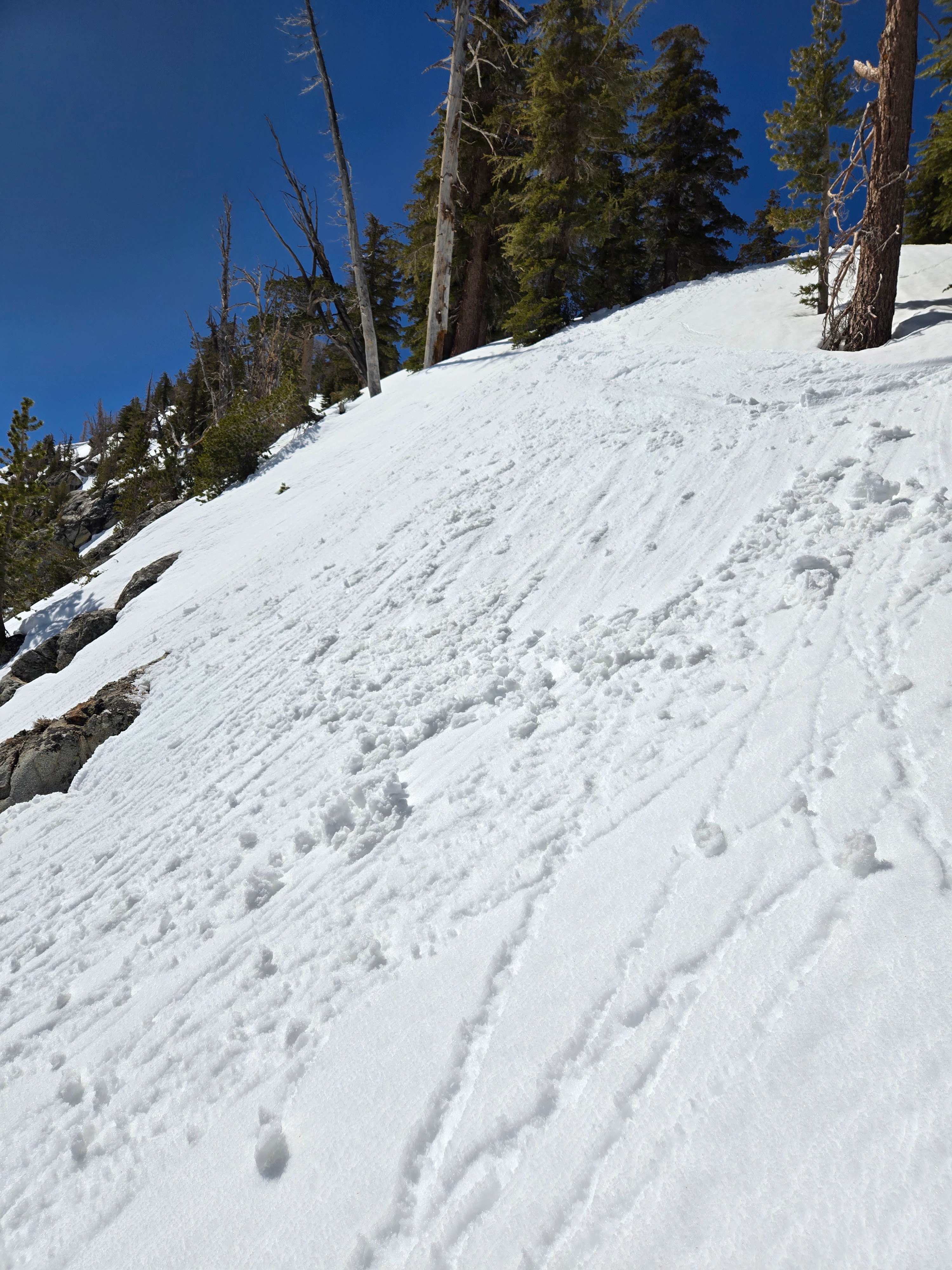
A few natural rollerballs by noon. I could trigger very small wet loose avalanches with ski cuts and shovel bombs. Rollerballs were easy to kick off by 11:30 am.Weather
- Air Temp
- 40s and 50s
- Cloud Cover
- few
- Wind Loading
- none
- Snow Avail For Transport
- none
Light southwest winds and clear skies with a few clouds developing by midday. Hot.
Snowpack
- The weak snow from January has gotten wet near the bottom of the snowpack. I didn't get any notable test results on this layer. (Note that in my snow profile, I forgot to label the bottom layer as wet, but it was pretty slushy.)
- With much probing on north and east-facing terrain near treeline, the snow depth and general structure in my snow pit seemed relatively common in the areas I traveled.
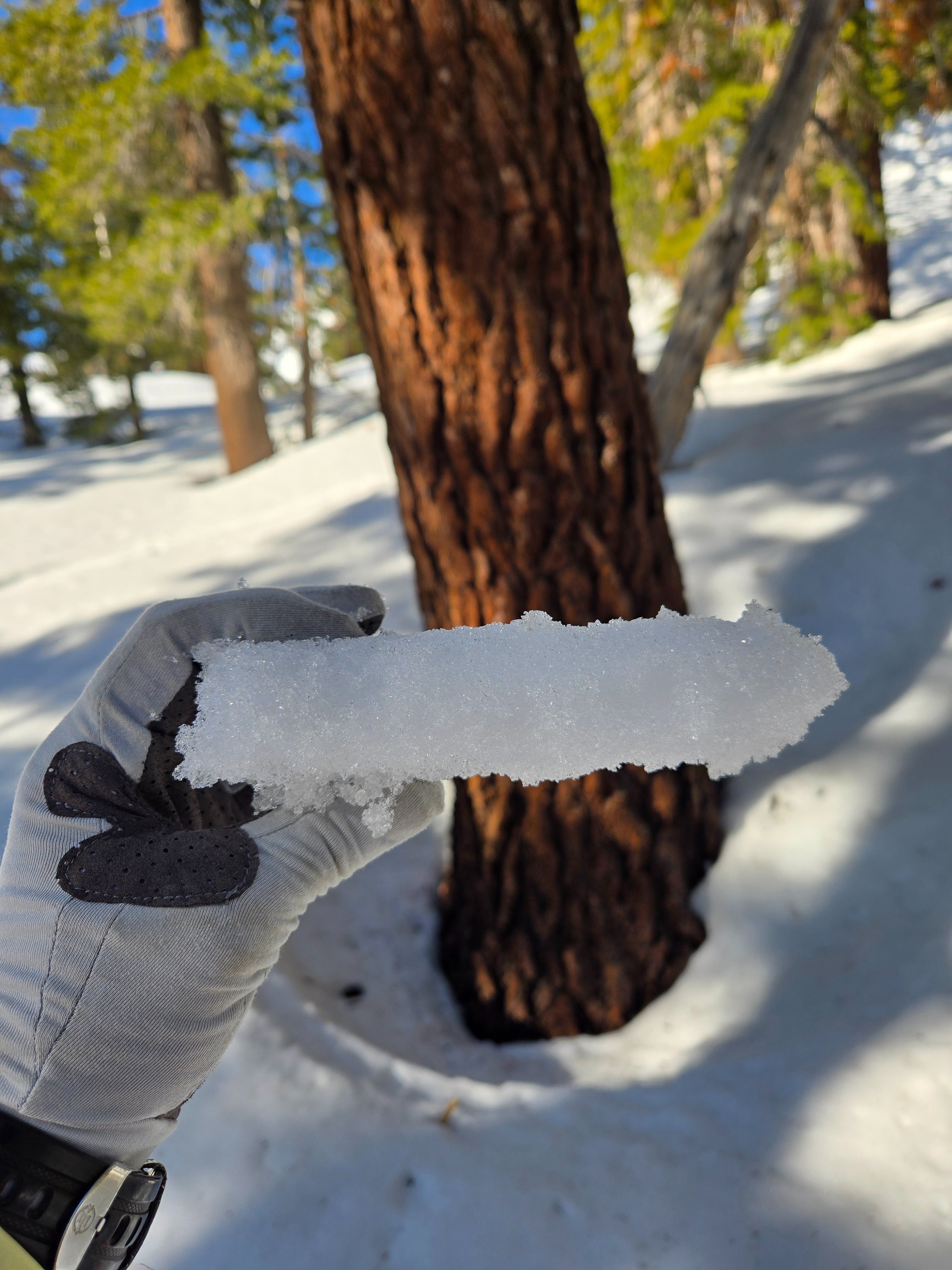
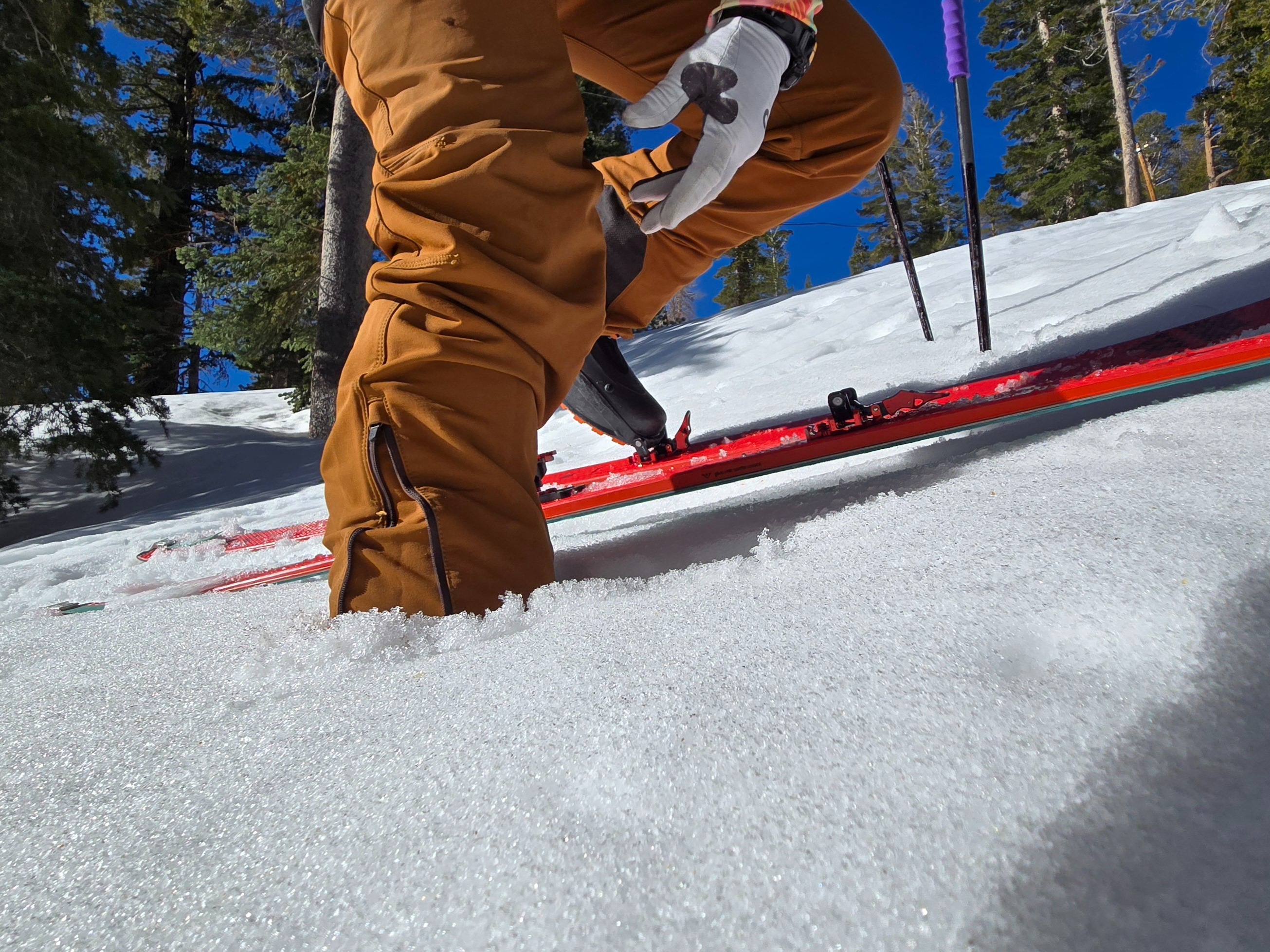
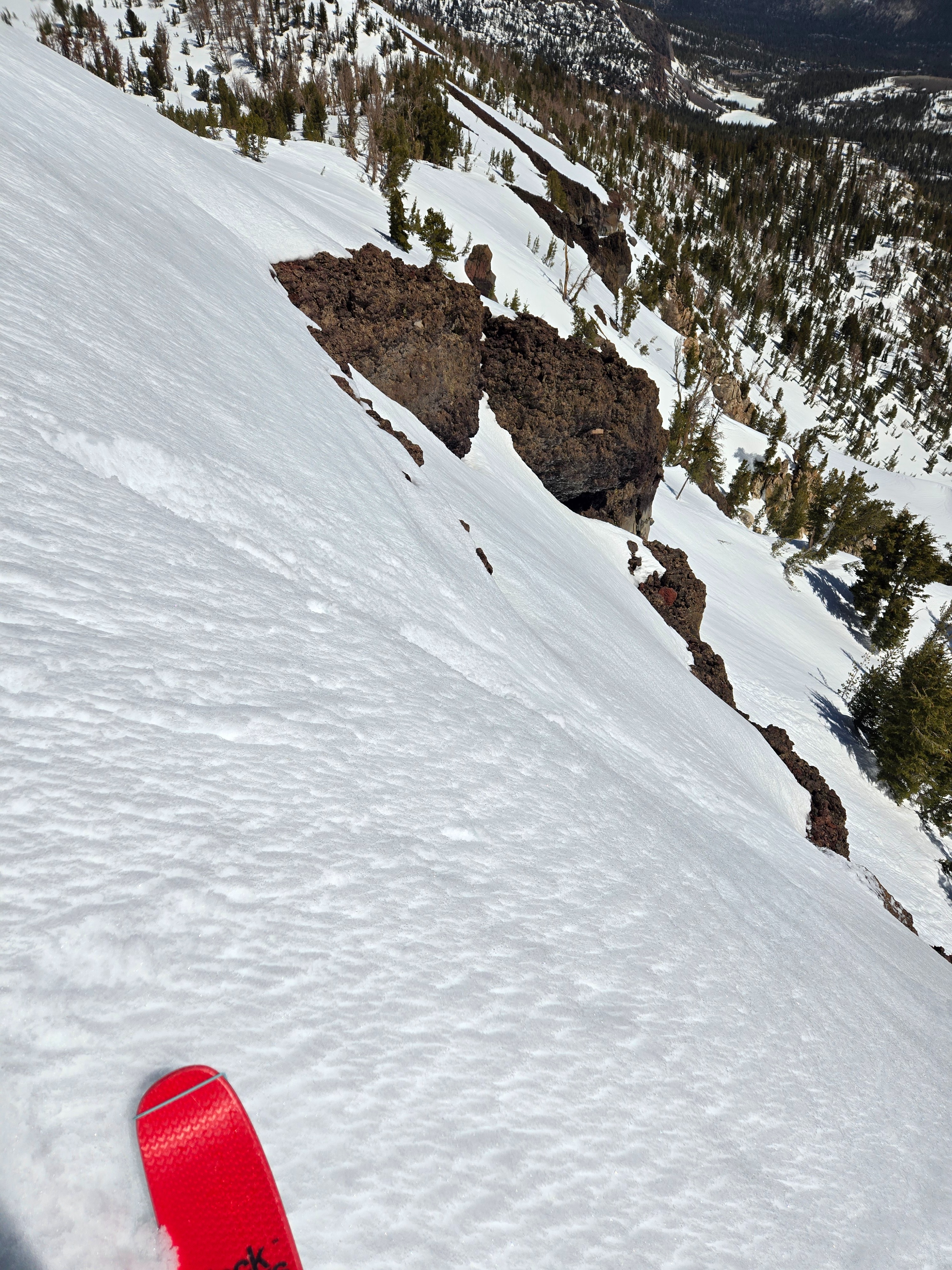
- This morning, a 5-25 cm thick surface melt-freeze crust started to become unsupportable by 9 a.m. in all areas except true north and northwest above about 9800 ft, which were still frozen when I exited around noon.
- Much of the snowpack was moist or wet where I looked except on true north and northwest above about 9800 ft. where there was dry snow under the surface crust. I didn't find anywhere near or above treeline where the whole snowpack was isothermal and homogenous. It's still layered; it's not a summer snowpack yet.
- See profile and photo captions for more details.