
Quick report
- Cracking
- isolated
For our final field day of the season, we toured up to Great Bear Mountain in the Flathead Range.
Takeaways:
- Access is becoming the crux—having a road or trail to ~6000 ft is key (we did not have that). Below that, especially on solar and wind-scoured slopes, continuous snow is sparse, and we carried skis on our packs. The off-trail travel was arduous and the going was slow.
- On the west to southwest-facing ridge we ascended, snow below 6000 ft was limited to what fell during last Thursday–Sunday’s storm. Coverage improves quickly above 6000 ft, where a consistent snowpack remains.
- We found roughly 8–12" of settled storm snow from the past four days (with the bulk falling Thursday).
- The snow was generally well-bonded to the stout, thick crust below in steep upper-elevation terrain.
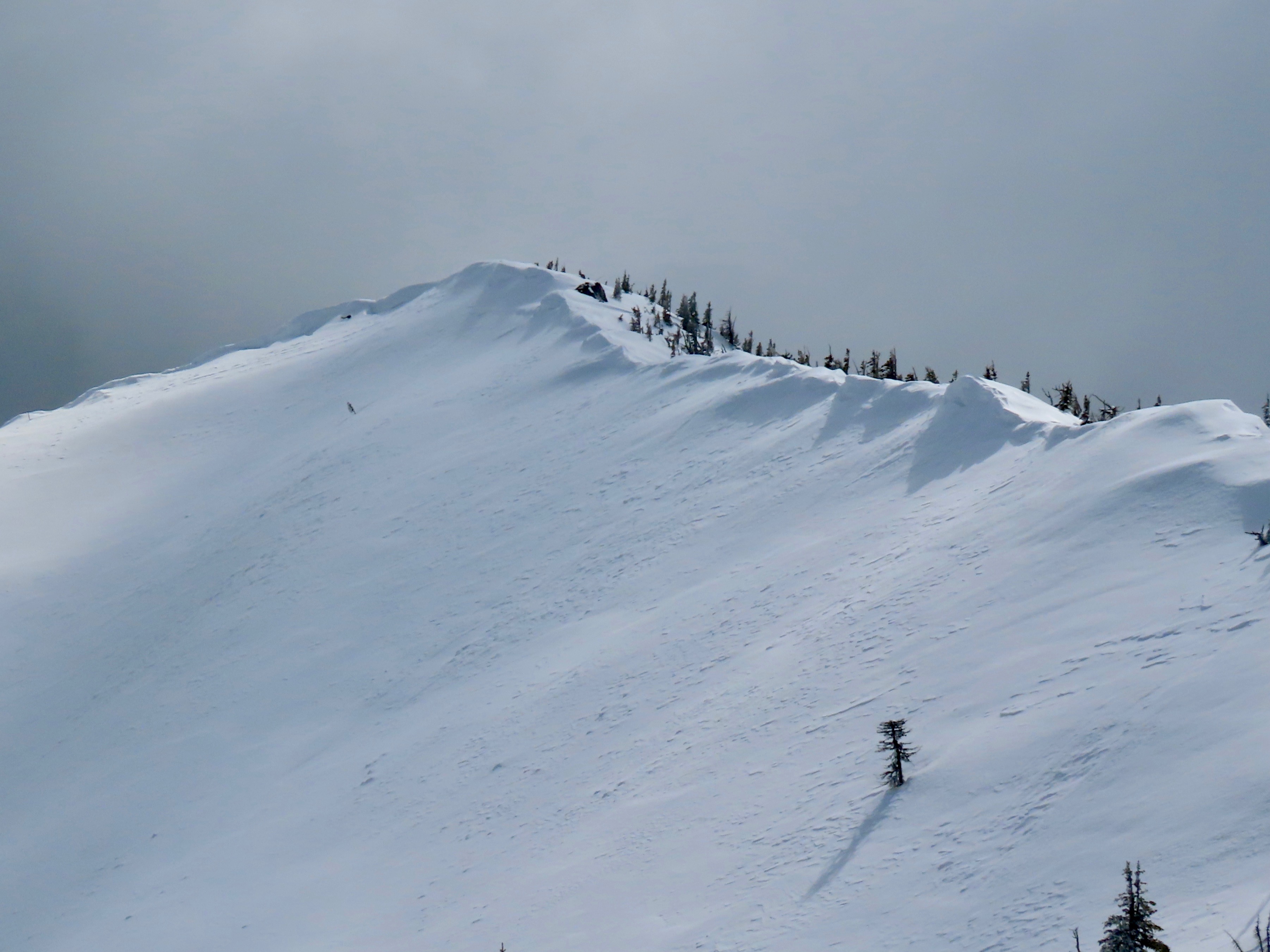
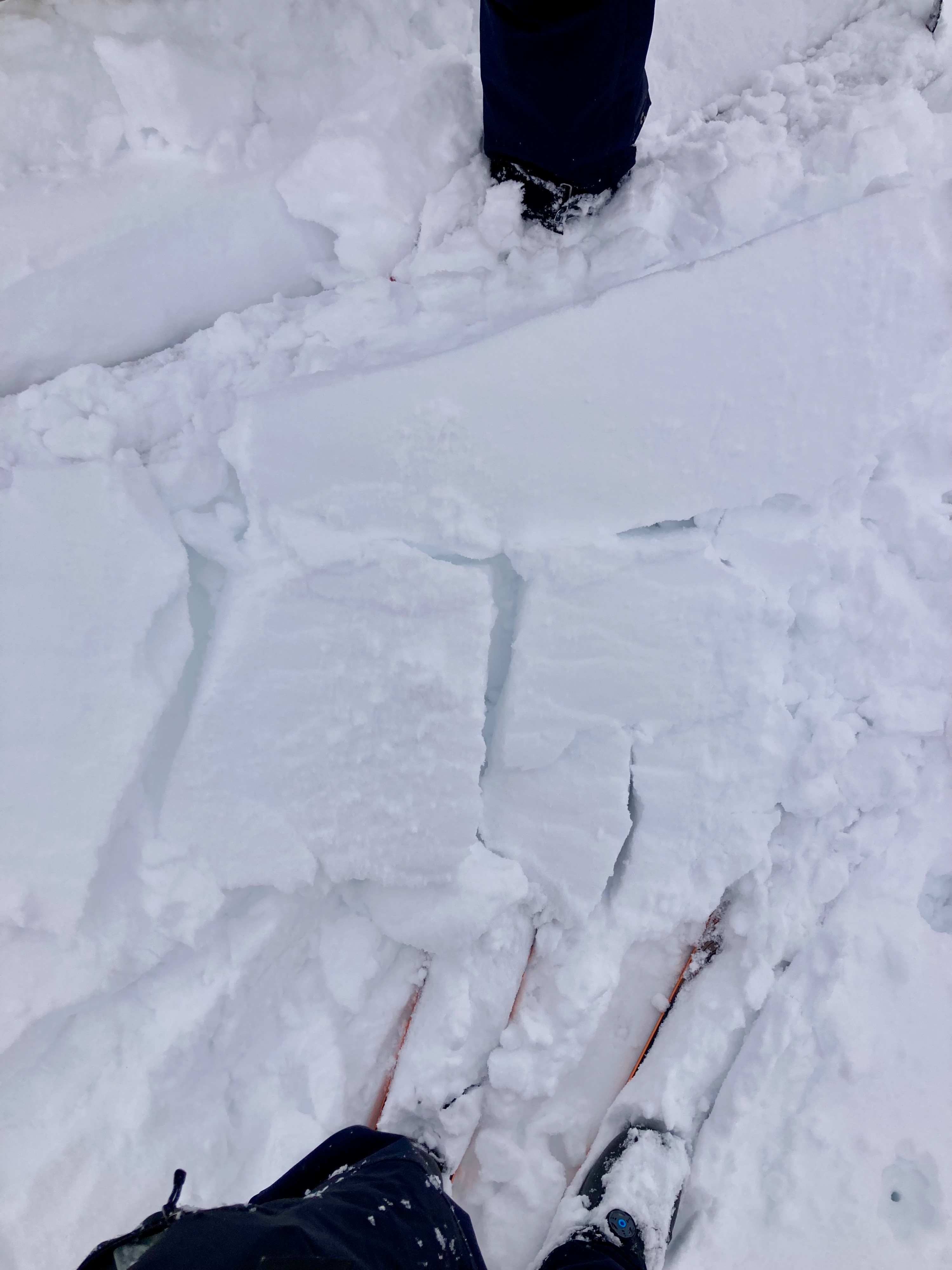
- Some 4F wind drifts were found in isolated locations, up to 3 feet deep; these were stubborn and unable to propagate beyond a few feet.
- North and east winds from the storm scoured exposed slopes; here we found just an inch or two over the crust.
- Snow surfaces were highly variable: recycled powder on northerly aspects above ~6500 ft; wind-drifted snow in leeward terrain; “hot pow” and breakable crust in transitional zones; and wet snow developing by afternoon at the mid elevations.
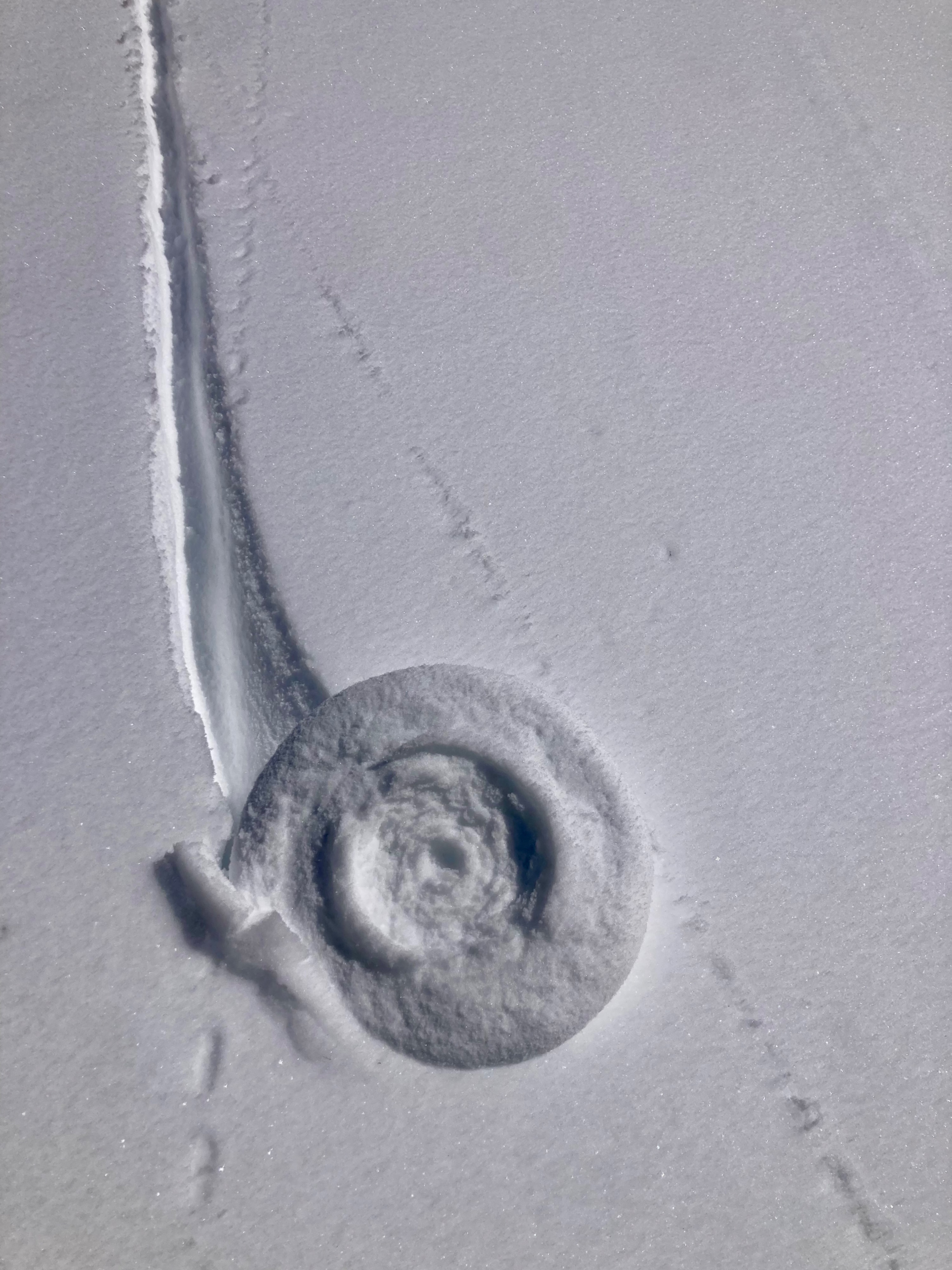
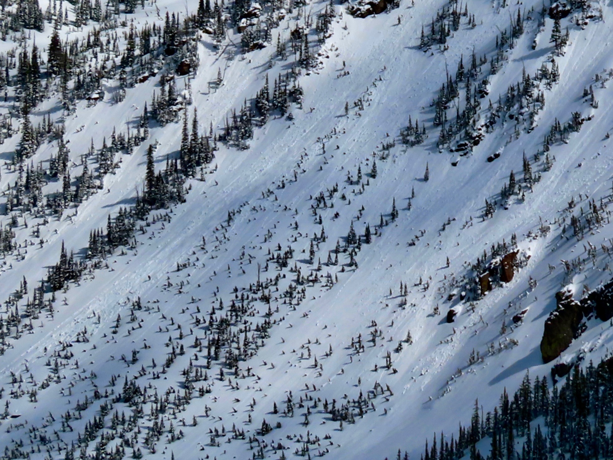
- We observed no true natural wet loose avalanches. We did see rollerballs, especially below rocky outcrops and most prevalent at mid elevations, including some on shaded slopes. During our exit, we triggered small wet loose slides running on the crust on west and northwest aspects, along with numerous rollerballs.
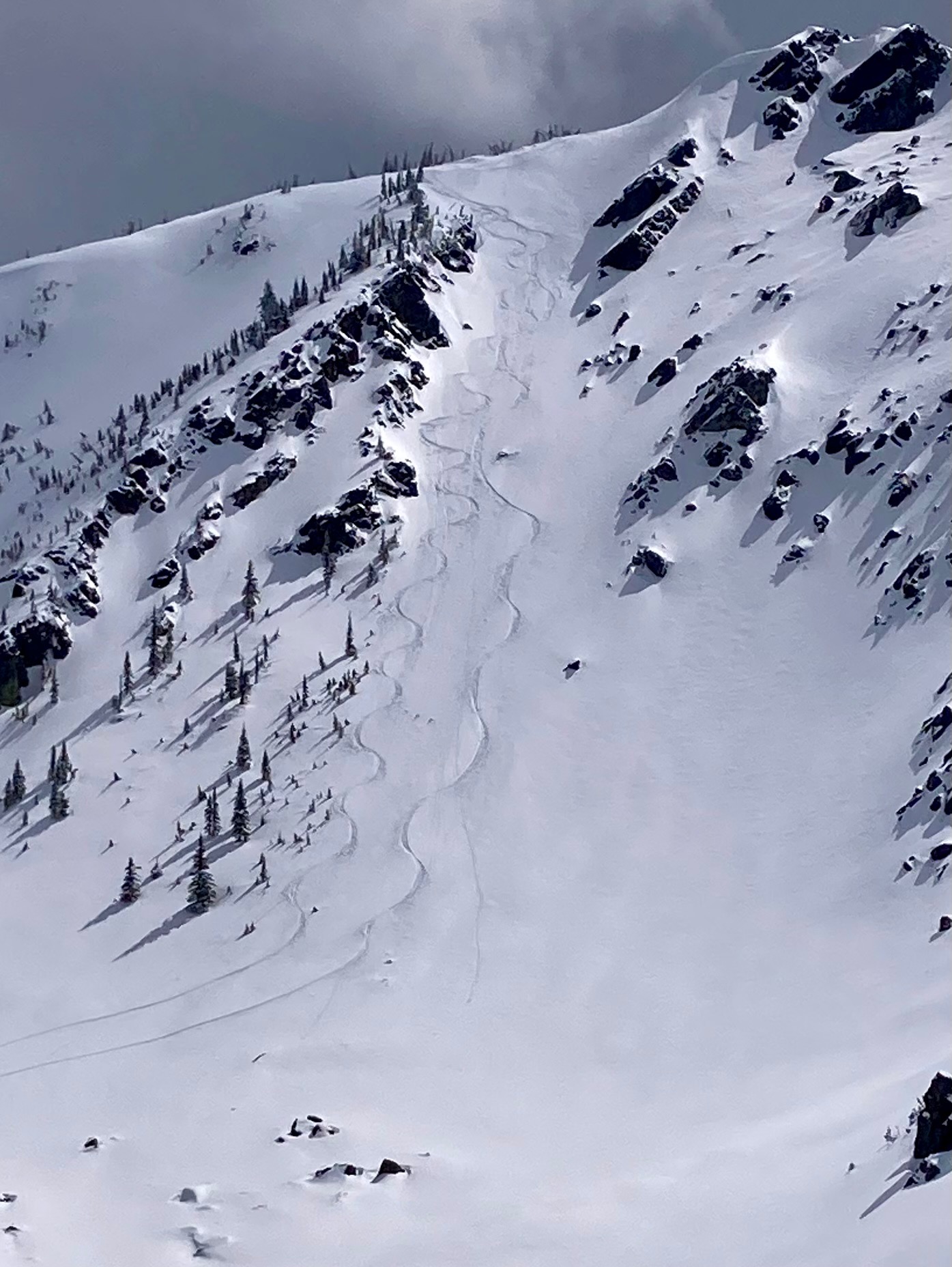
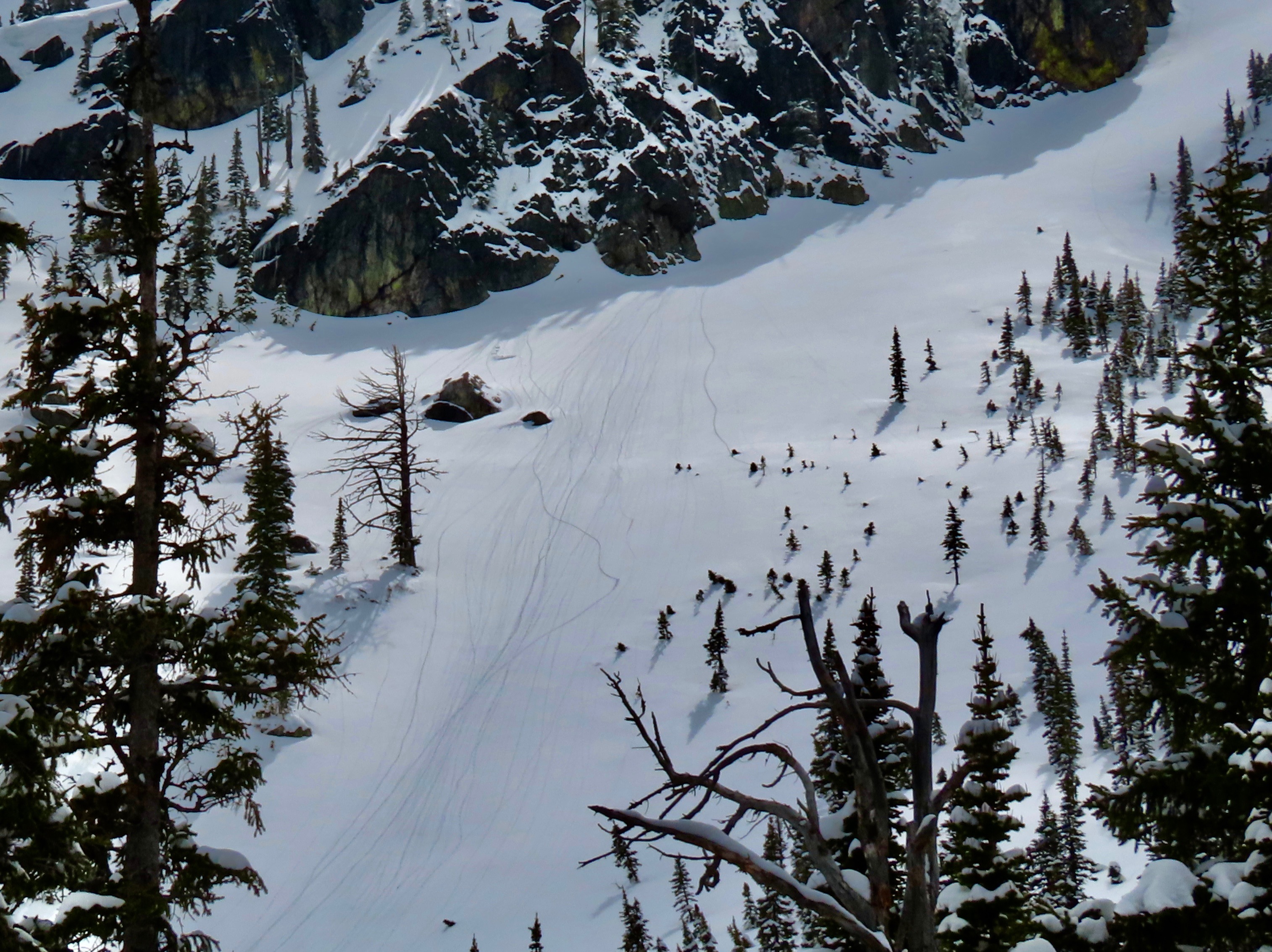
After a satisfactory stability assessment of the new snow, we enjoyed recycled powder one at a time on a steep north-facing slope from 7,600 to 6,200 ft. We also had the pleasure of following a lynx track up and over Great Bear Mountain.
Cracking in old wind drifts - very isolated and not able to propagate beyond a few feet.Weather
- Cloud Cover
- broken
- Wind Loading
- previous
- Recent Snowfall
- 20-30 cm from last Thursday-Sunday
- Snow Avail For Transport
- small smounts
A mixed bag of weather. Overcast with flurries through the first half of the day, giving way to occasional sun breaks and puffy cumulus clouds in the afternoon. Winds were generally light.
Avalanche
- Size
- D1
- Type
- WL
- Aspect
- NW
- Trigger
- N
- Elevation
- 6200 ft
Triggered a few small D1 wet loose on exit on north-west facing terrain between 6000 and 6500 ft.