
Quick report
Our team's last visit to the East Cabinet Mountains was more than two weeks ago on December 30th, 2025, and a lot of change has occured in that time. We took advantage of the generally safe avalanche condtions and made our way into upper elevations at the southern end of the zone. Our goals were to conduct a welfare check on the snowpack, as well as the current access condtions.
With lingering concerns surrounding our Persistent Slab Problem, we targeted an upper elevation slope that is typically scoured and thin due to aspect and exposure to scouring winds. These areas that harbor a genreally thinner snowpack can often have very pronouced weak layers that are closer to the surface. Today we found some of our buried crust layers, but were not able to find any soft weak snow surrounding the buried crusts. We observed a snowpack that has slowly become stout and strong over time.
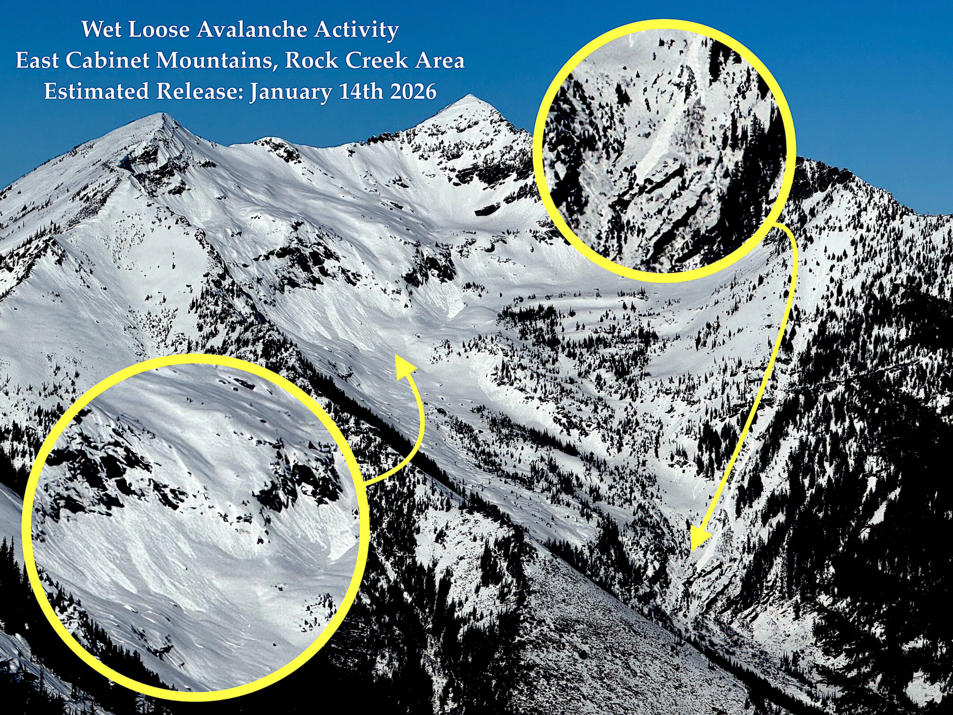
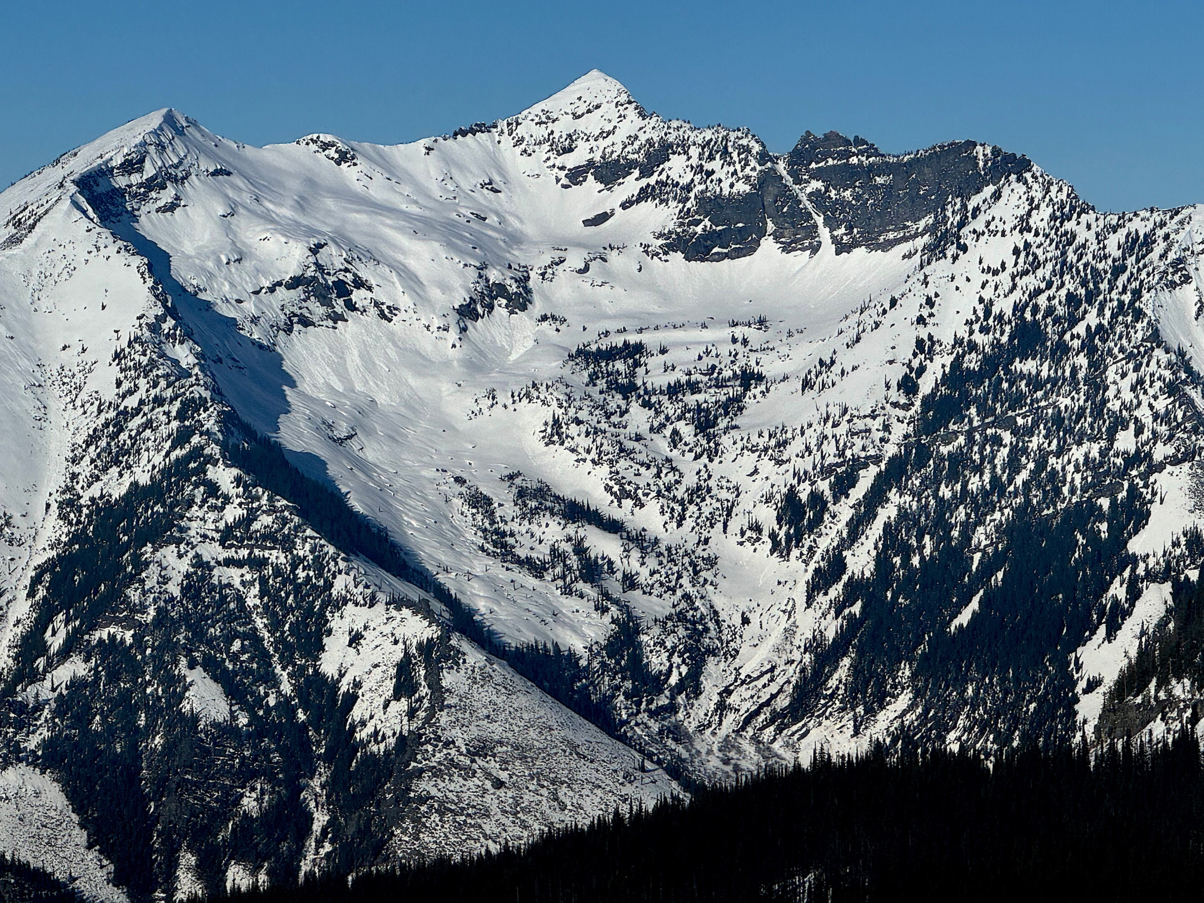
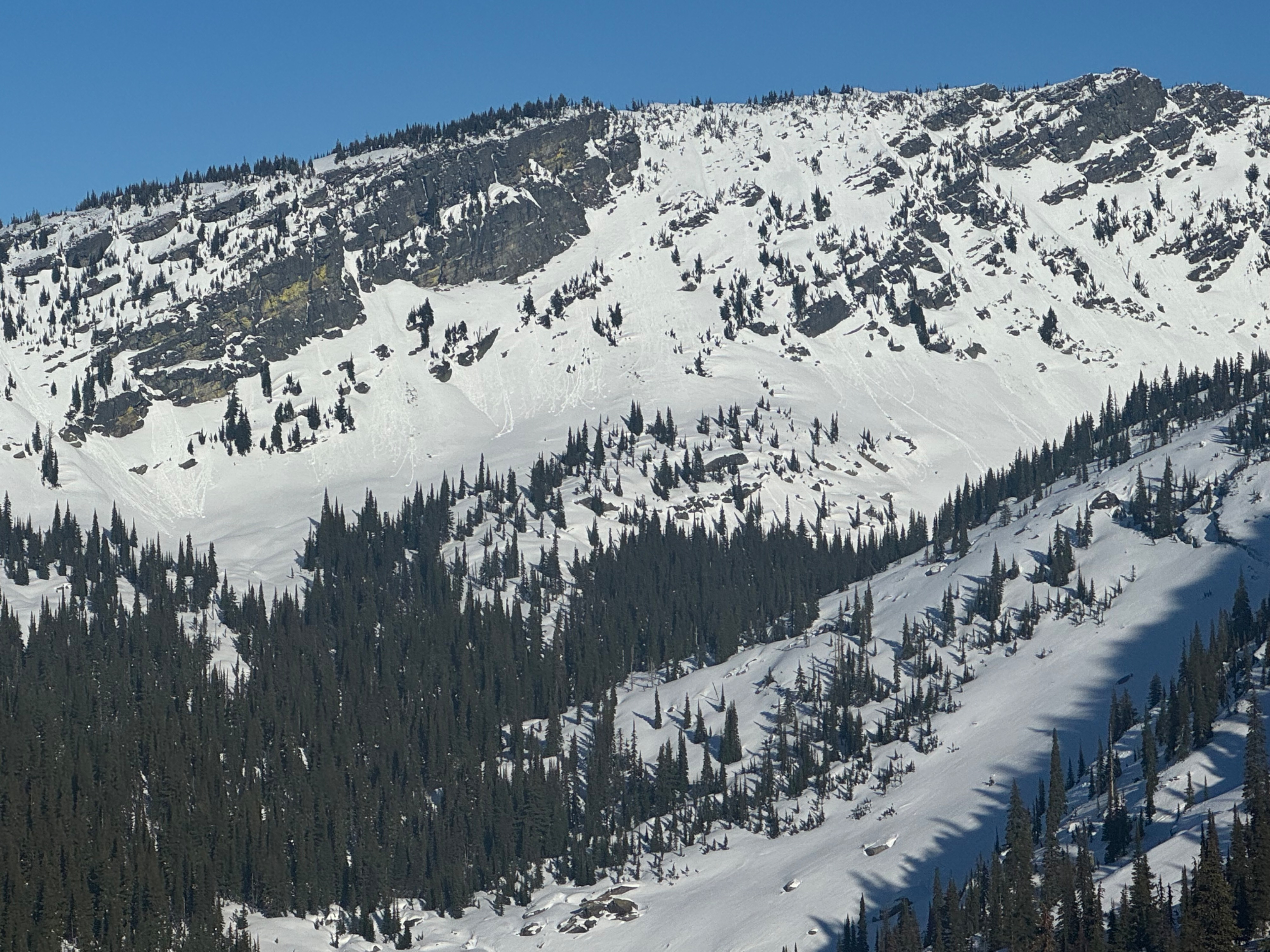
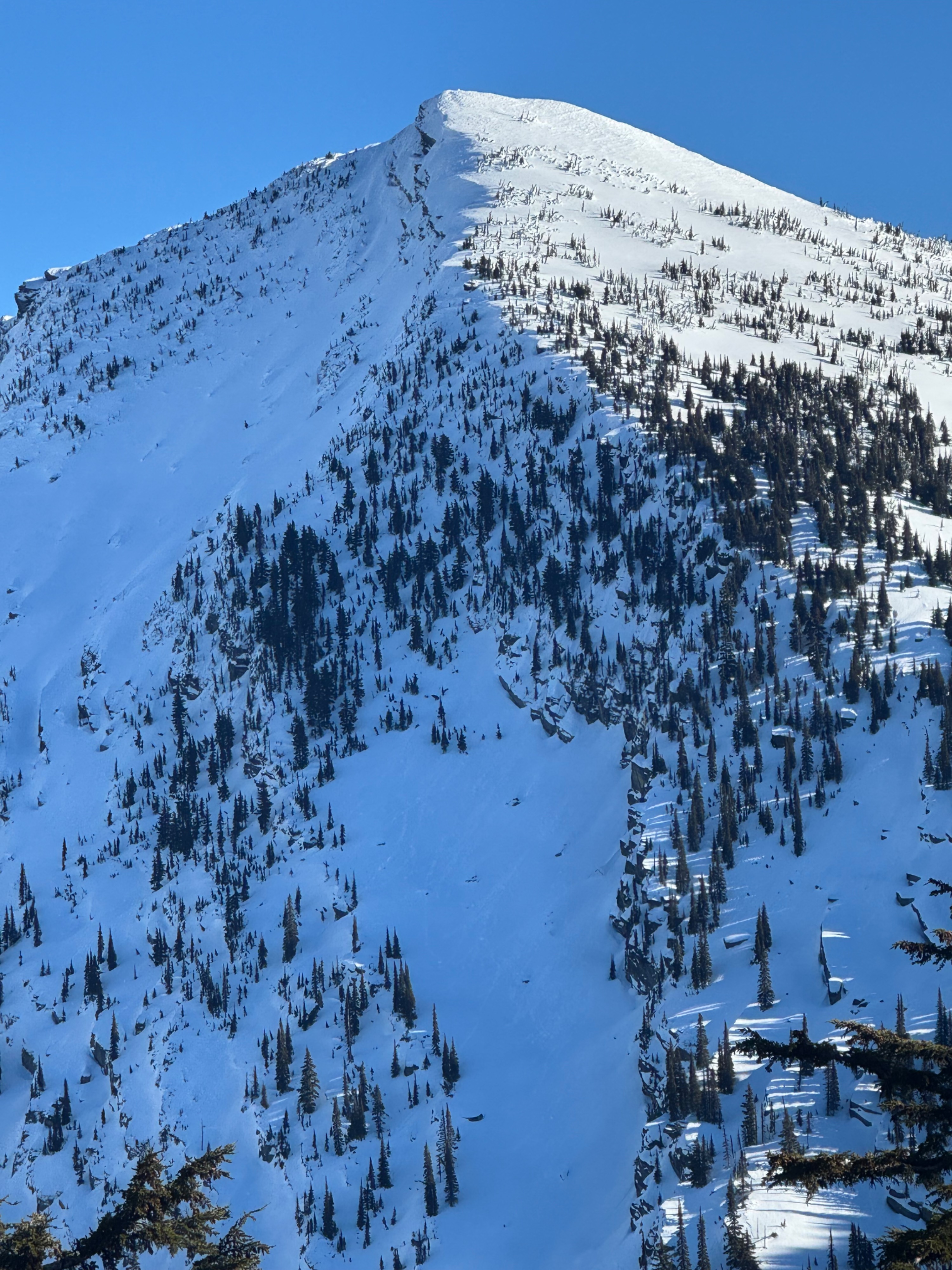
Our observations from the day highlight some recent wet loose avalanche activity that likely occured earlier in the week. And throughout our tour we observed a strong upper snowpack capped by a supportable crust. Avalanche concerns were few and conditions felt generally safe across all the terrain we traveled through.
Weather
- Air Temp
- 32
- Cloud Cover
- clear
- Wind Loading
- none
- Rain Elevation
- N/A
- Recent Snowfall
- none
- Snow Avail For Transport
- none
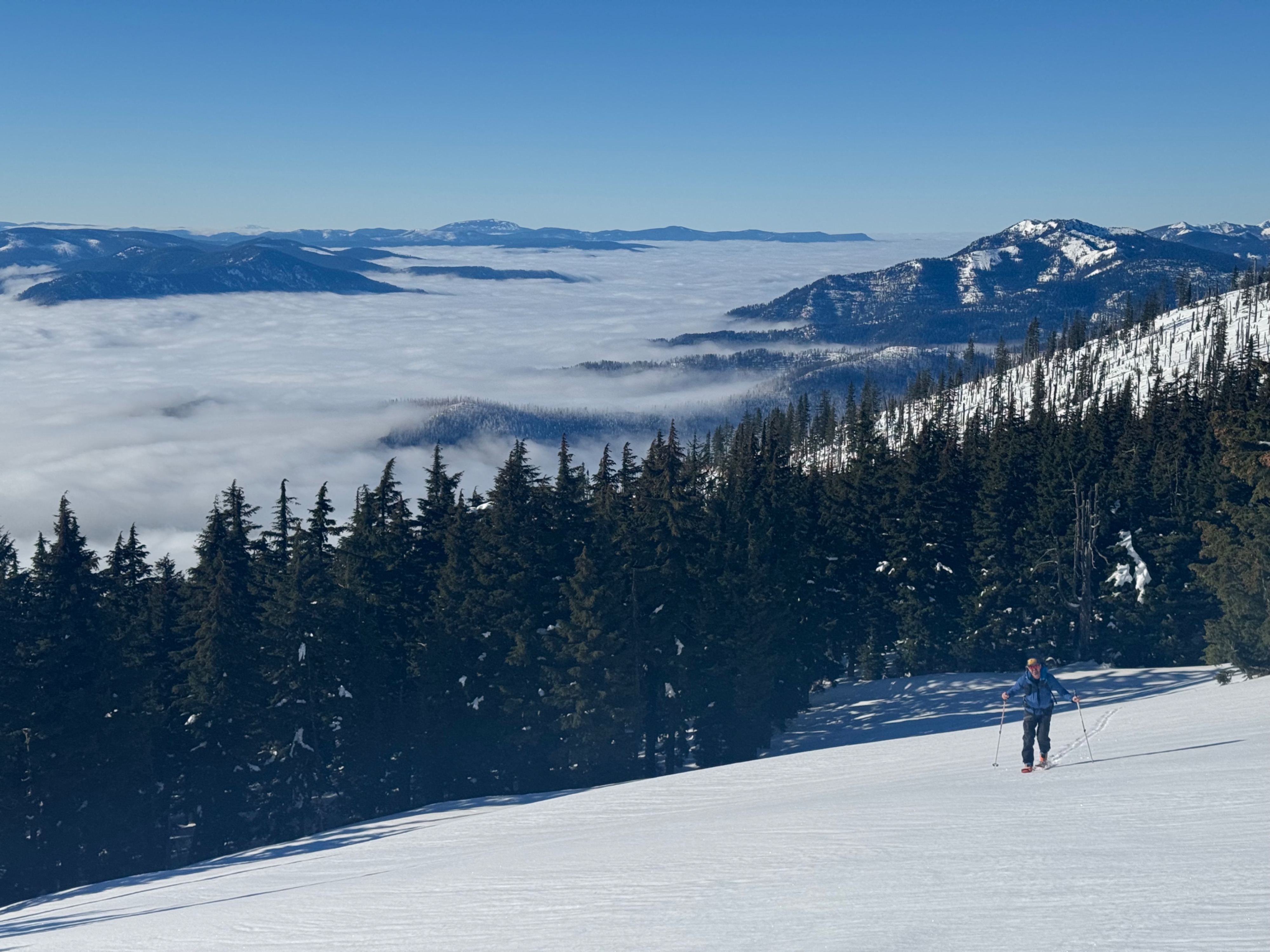
Clear, Calm, Cool, and Sunny above thick valley stratus. Temperatures ranged from mid 30s to slightly below freezing. Stratus deck hovered around 4500 feet and was stubborn to break down for most of the day. After 230pm we noticed it gradually start breaking down in the side canyons, but persist above the main Clark Fork River Valley.
Snowpack
Today, we traveled exclusively on South and West facing terrain.
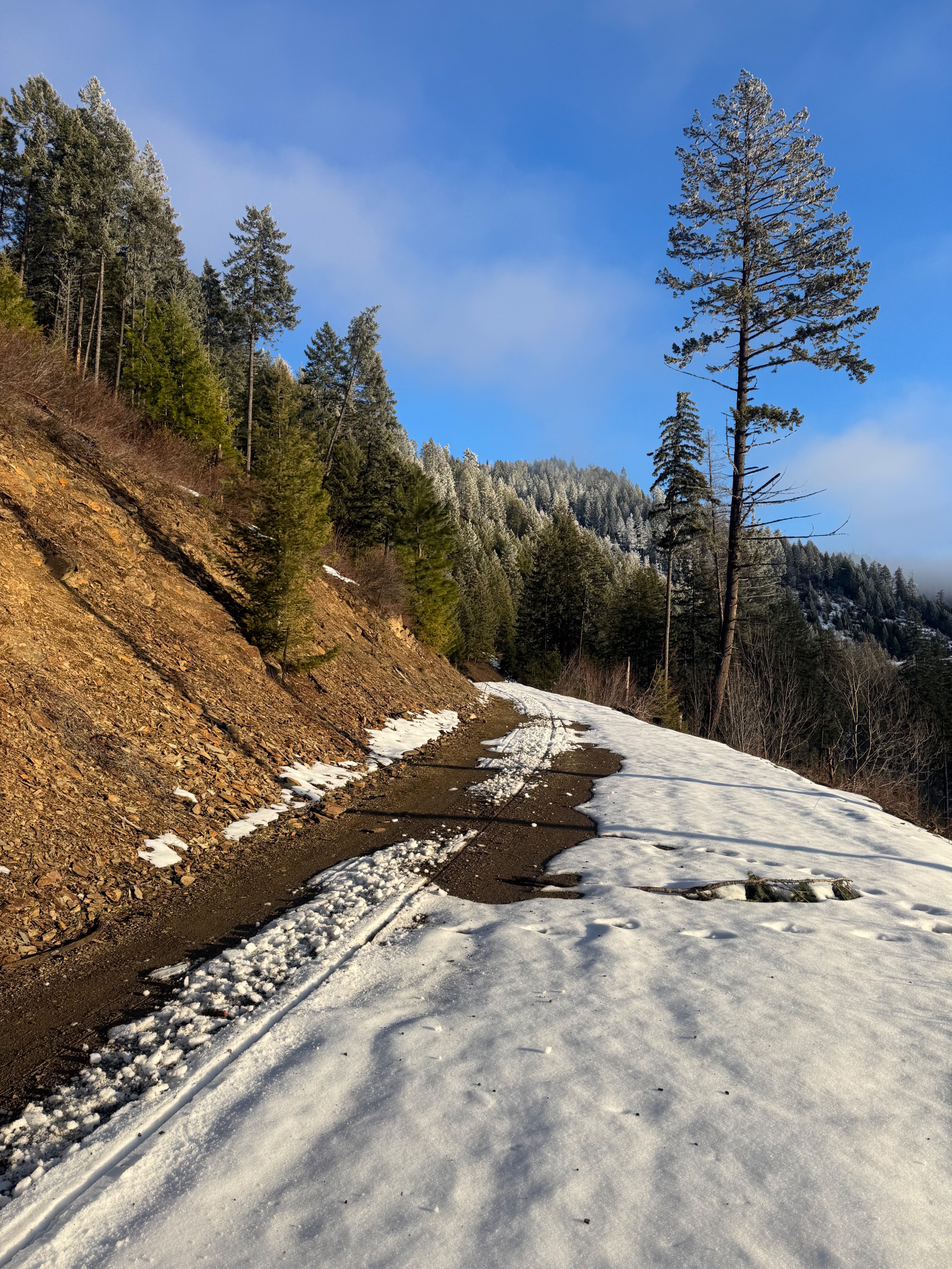
- Overall, snow coverage has been depleted significantly below 4500 feet especially on due south facing aspects.
- Above 4500 feet, we found a thin snowpack that gradually becomes deeper and more continuous as you near about 5000 feet.
- At 4900 feet, we left the road and found continuous coverage and smooth, efficent travel on the Engle Lake Summer Trail.
- As we worked our way toward Engle Peak, we found a supportable crust that was widespread across the terrain and aspects we traveled on.
- In shadier locations and at middle elevations the crust is thin and faceting, but the dry snow beneath the crust was also supportable.
- As you transition into the upper elevation band (6500 feet+), the surface becomes increasingly hard and stout, with ski crampons recommended for efficient travel.
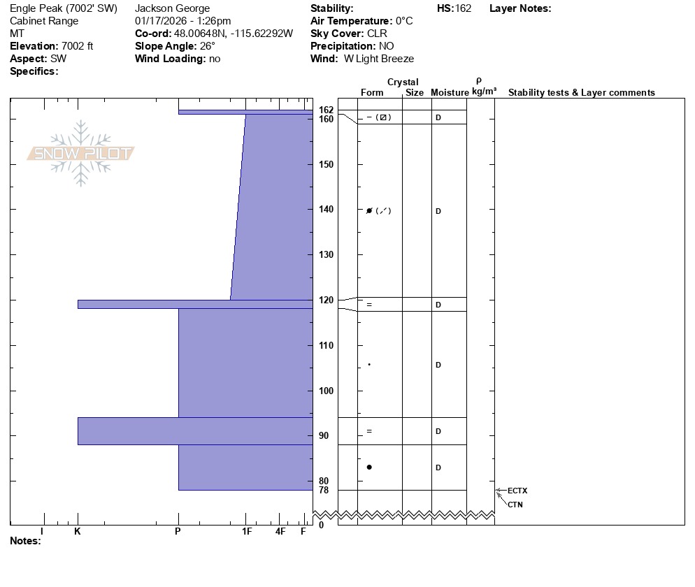
- We dug a pit on a wide open (not sheltered from wind) southwest facing slope at 7000 feet. The snowpack on this typically wind scoured alpine face was thin relative to what you would likely find on sheltered and shaded slopes at this elevation, however the snowpack structure is still very strong here at the moment.
- Multiple buried crust, that have previously helped create weak layers within our snowpack, were present at our snowpit site, but did not harbor any weak soft snow above and below them. The snowpack is stout and strong as a whole at this location, which matches well with our team's current assessment of generally safe avalanche conditions at the other zones in the forecast area.
Avalanche
- Size
- D2 R1
- Type
- WL
- Aspect
- S
- Trigger
- N
- Elevation
- 6600 ft