
Quick report
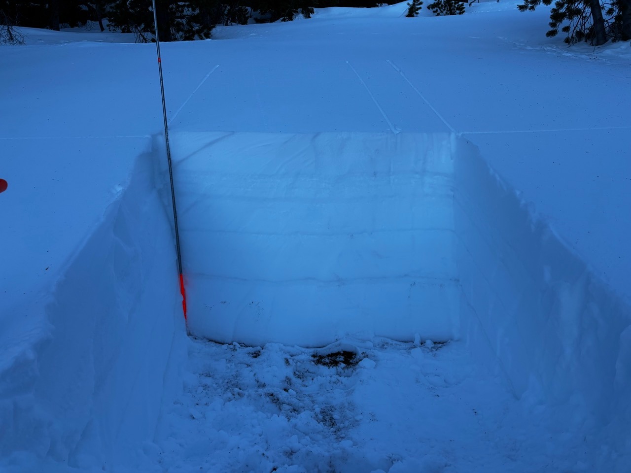
Although my car registered 10 degrees in La Pine at 8:30 AM, the air temp on Paulina (6600-7700') was in the low 40s. During the approach, the temperature change from the visitor's center up the summer road a few hundred feet was obvious. The snow also felt stickier and more variable as we toured up in elevation. I did not see any loose wet avalanches, though I did not many views of solar aspects. I did see some roller balls that got up to the size of a volleyball. Otherwise, winds were calm to light and the sky was clear and sunny. I dug two pits: one on a NW aspect at 7100' and one on a N aspect at 7700'. My goal was to gain information about the snow surface, snowpack structure, and look for weak layers. I measured snowpack depths from just over a meter to 130 cm, so the snowpack is shallower than what I've seen in the Cascades, which is typical at Paulina. Otherwise, the snowpack generally has a similar structure. I did a few different column tests and did not get any red flag results (sudden collapse, sudden planar). I did not observe any signs of instabilities, though I only saw a very small slice of the terrain.
Weather
- Air Temp
- 42
- Cloud Cover
- clear
Snowpack
The snow surface varies depending on aspect and elevation. North-facing and shaded aspects (especially at lower elevations thanks to the recent temperature inversion) are holding soft, cold snow. The snow is getting gloppy and/or crusty on aspects that have gotten sun in recent days. Areas of tree coverage, although shaded, are also getting crusty where trees have dripped/plopped snow. The rest of the snowpack is a mix of uniform snow layers and crusts. I did not find any weak layers of concern.