
Quick report
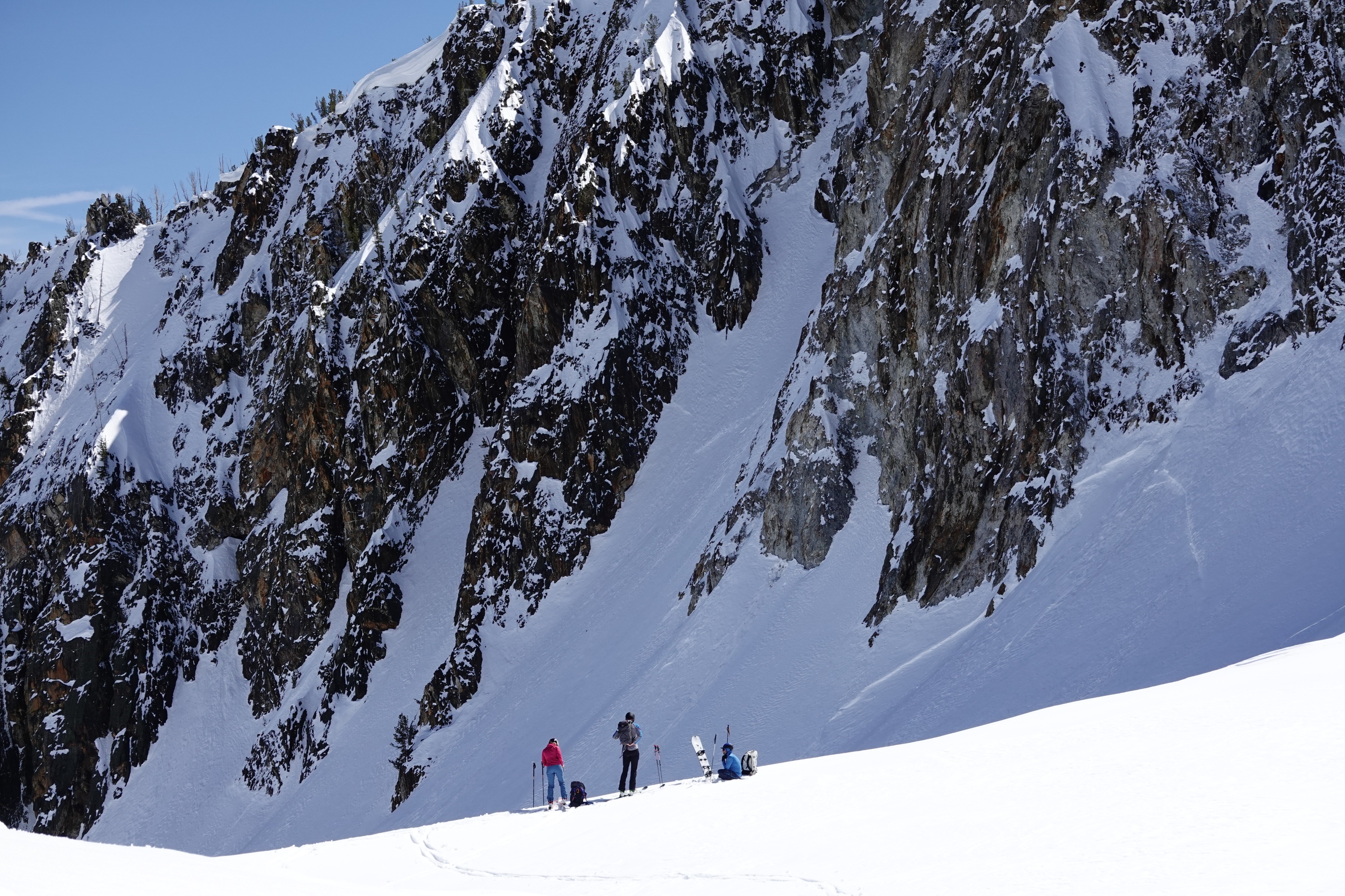
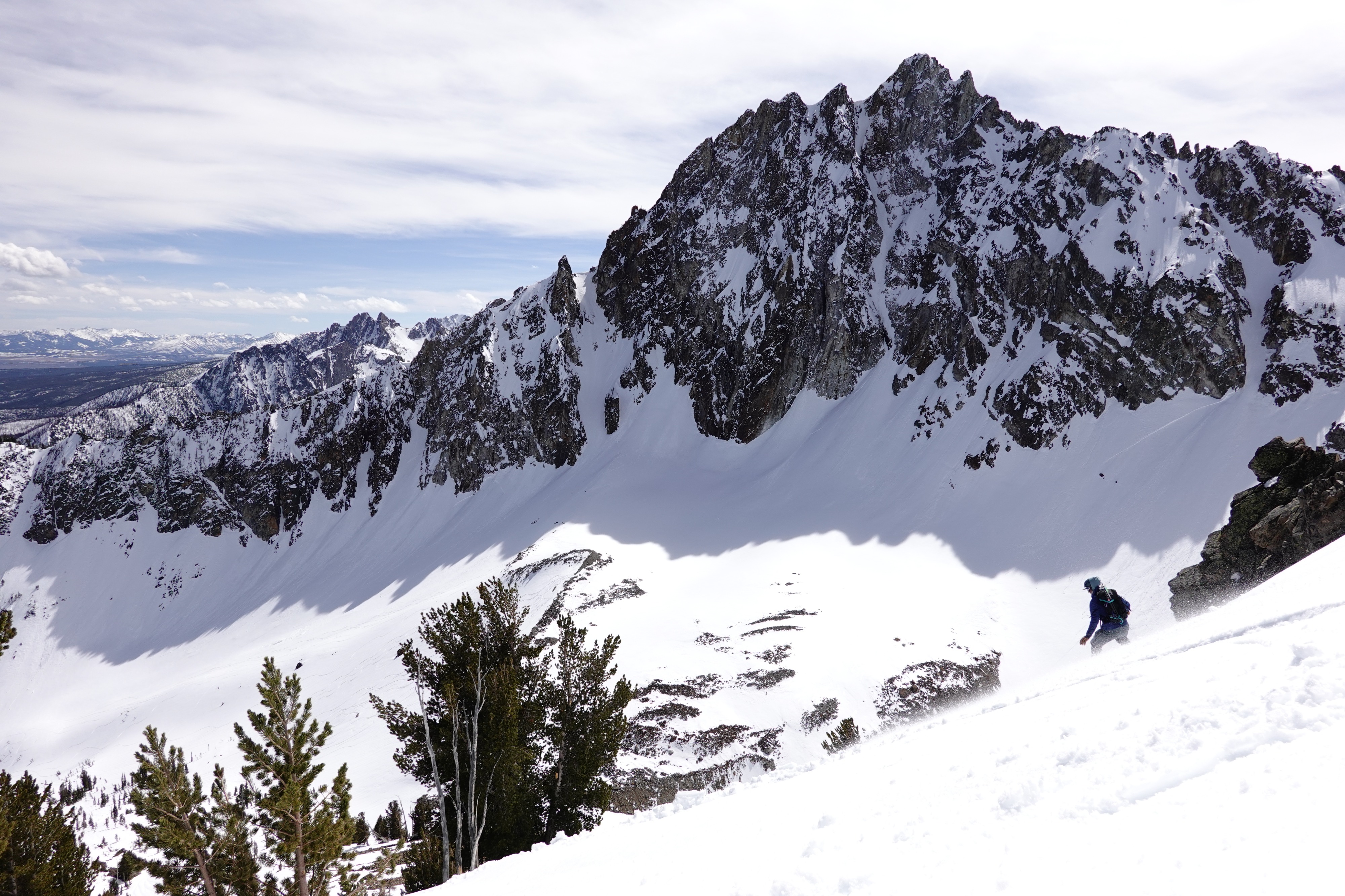
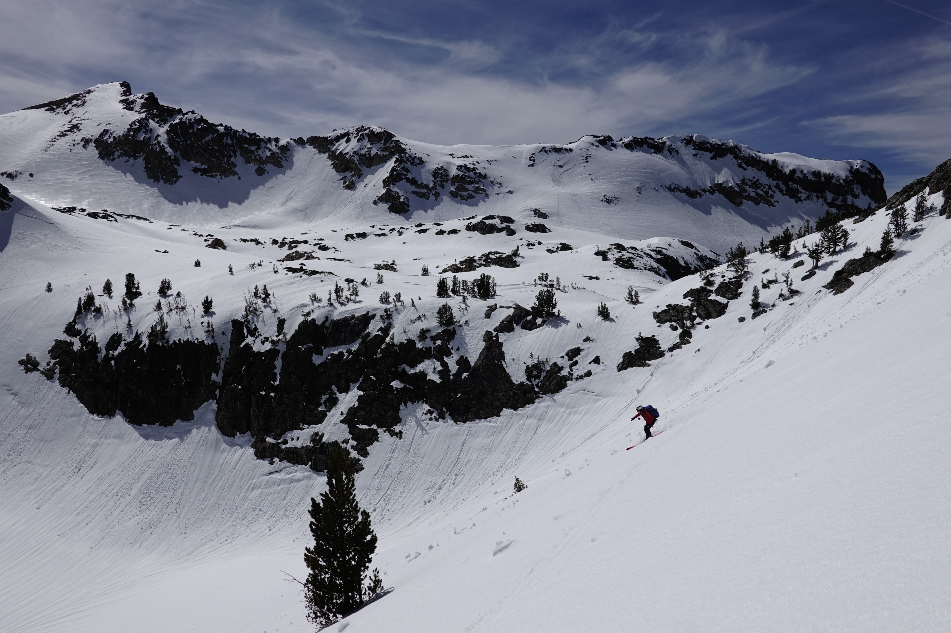
Our group enjoyed a whole variety of spring skiing conditions while at the Williams Peak Yurt. We observed no obvious signs of instability and kept primarily to solar aspects to capitalize on the corn skiing. Generally speaking, refrozen surfaces started to soften around 10am each morning.
No obvious signs of instability aside from a handful of small natural wet loose point releases Monday night on NE/N aspects that hadn't already shed. ECTP28 @ 60cm↓ at 9500' N aspect above new/old interface (on Monday 4/6).Weather
- Air Temp
- 25-40
- Cloud Cover
- few
- Wind Loading
- previous
- Recent Snowfall
- 0
- Snow Avail For Transport
- none
Generally clear skies and light W winds. Temperatures generally warmed into the low/mid-40s F during the day at 8k' and cooled to around or just below freezing overnight. Tuesday was the outlier with partly cloudy skies in the morning, warmer temperatures overnight and throughout the day, and blustery afternoon winds.
Snowpack
- We found 30-60cm of recent snow above 8k' upon arrival at the yurt on Sunday.
- The snow surface on S, SE, and E aspects had moistened considerably throughout Saturday and Sunday, offering premium breakable crust skiing during the evening refreeze on Sunday (~7pm).
- Overnight refreezes set up decent corn skiing starting ~10am over the next few days, except for Monday night when temperatures remained warm and the snow surfaces barely refroze.
- We dug one quick pit on Monday (4/6) at 9500' on a N facing apron and found a soft wind/spindrift slab that failed with very hard force (ECTP28) on a subtle density change 60cm down and above the new/old interface.
- Tuesday was sloppier due to a weak refreeze, and we found widespread isothermic conditions up to ~9k'
- On Wednesday, cooler temperatures and sustained light winds kept snow surfaces cooler, resulting in quality corn skiing until 2 or 3pm on most aspects.
- The Thursday ski out was smooth due to a supportable refreeze that extended down to 7k' and held on until 11am (or longer)!
Avalanche
Small point release wet loose avalanches Monday night on northerly aspects and evidence of a widespread wind/storm slab cycle on N, NE, and E aspects (especially in aprons above 9k') from the end of March/early April storm.