
Quick report
We toured E-SE-S-SW aspect terrain this morning on Relay Peak. We encountered fairly well established melt-freeze conditions on SE-S-SW aspects. Transitional snow existed on E aspects that had not yet become well established melt-freeze. We poked briefly onto N aspect terrain near 9,700' and noted that there was no sign of previous snow surface melt, just a wind eroded snow surface without any significant faceting.
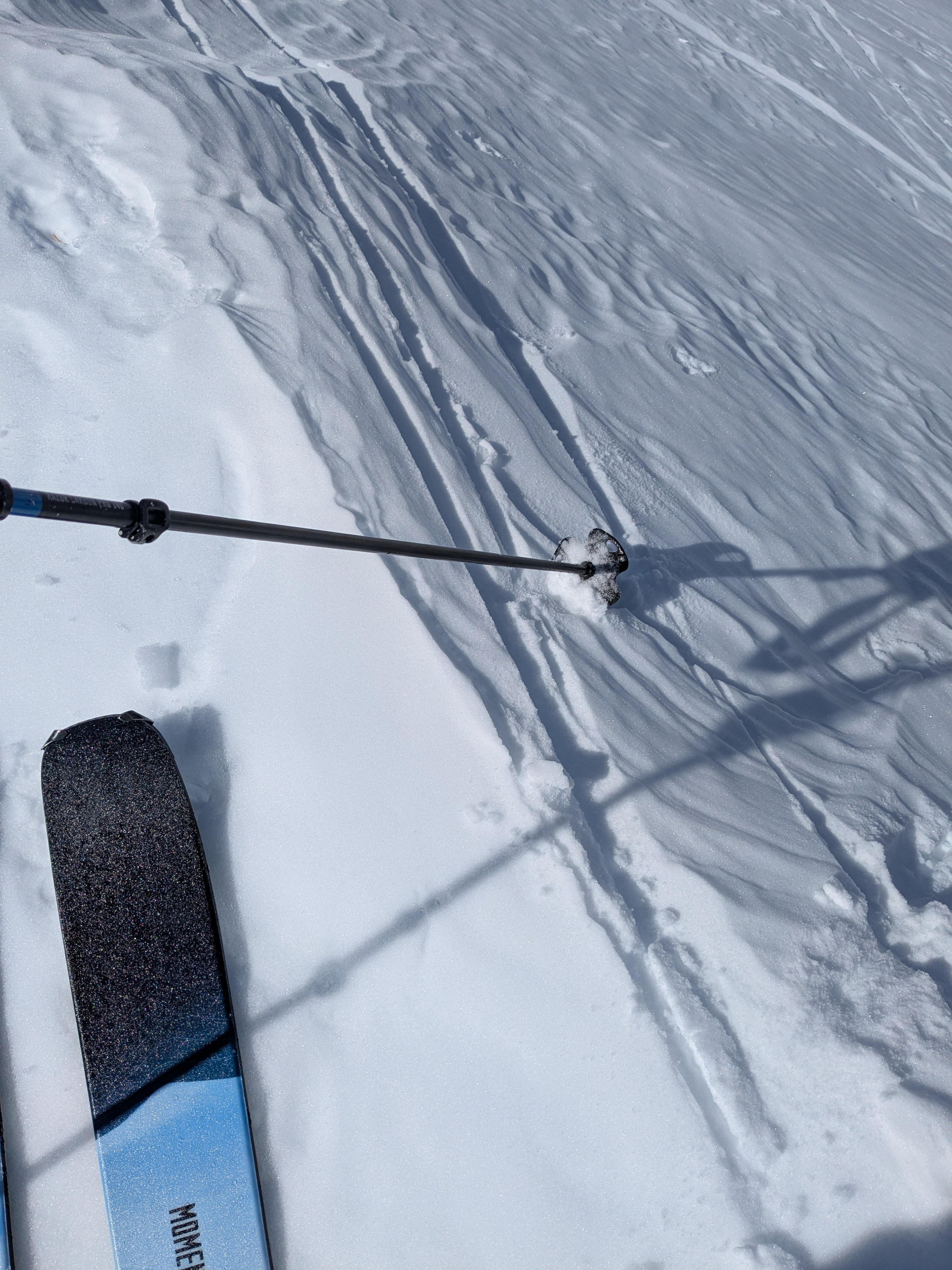
Snow surface refreeze in this area last night was pretty good considering the above freezing air temps. The top 3 to 4 inches of the snowpack had refrozen at knife hard across open slopes on SE-S-SW aspects. Under forest canopy, the surface refreeze was weak and less than 1/2 inch thick as is often the case when radiational cooling rather than below freezing overnight air temps is the driver of snow surface refreeze.
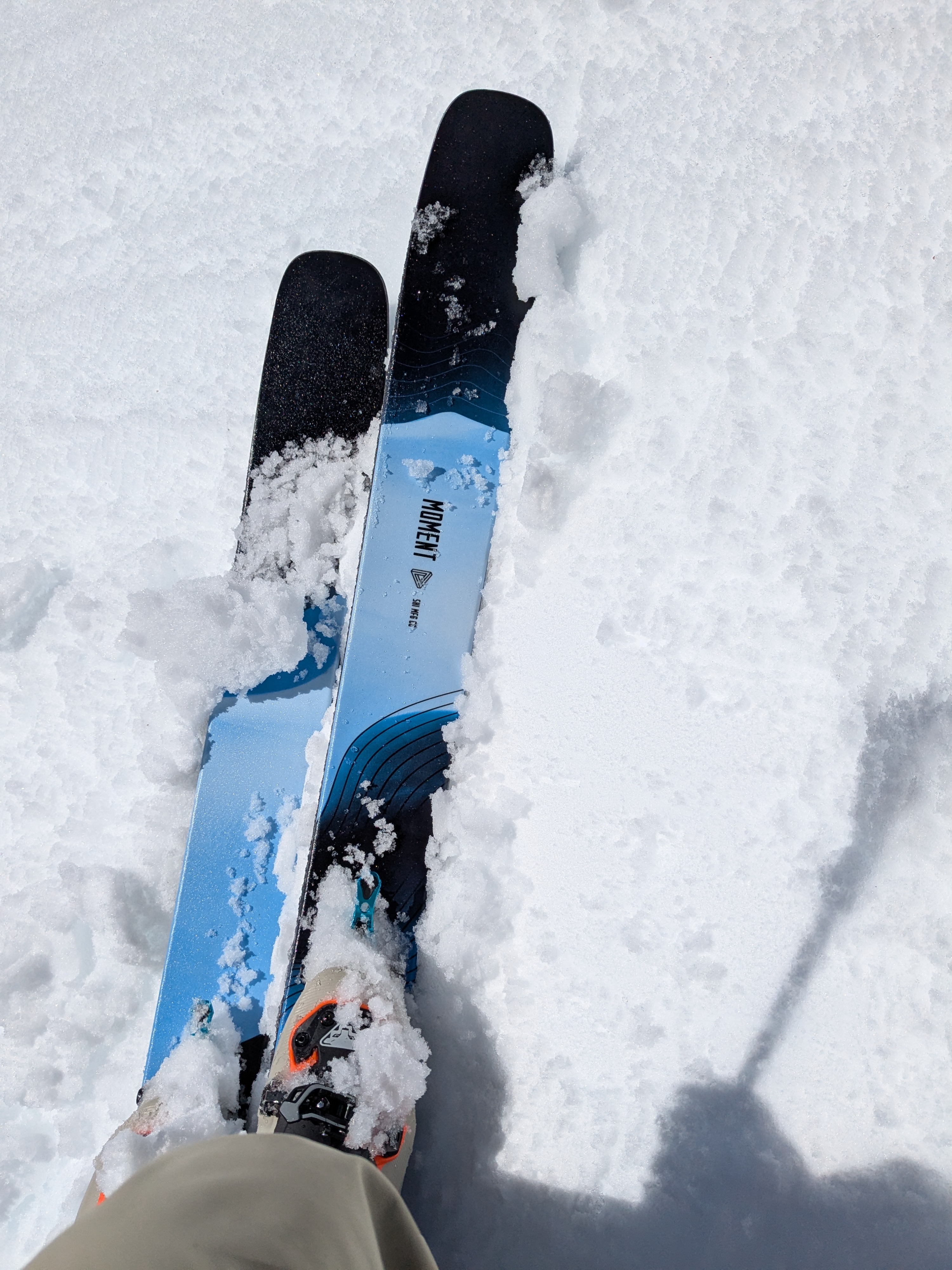
Between 10 am an noon we encountered anywhere from 1 to 3 inches of surface wet snow depending on time of day and aspect.
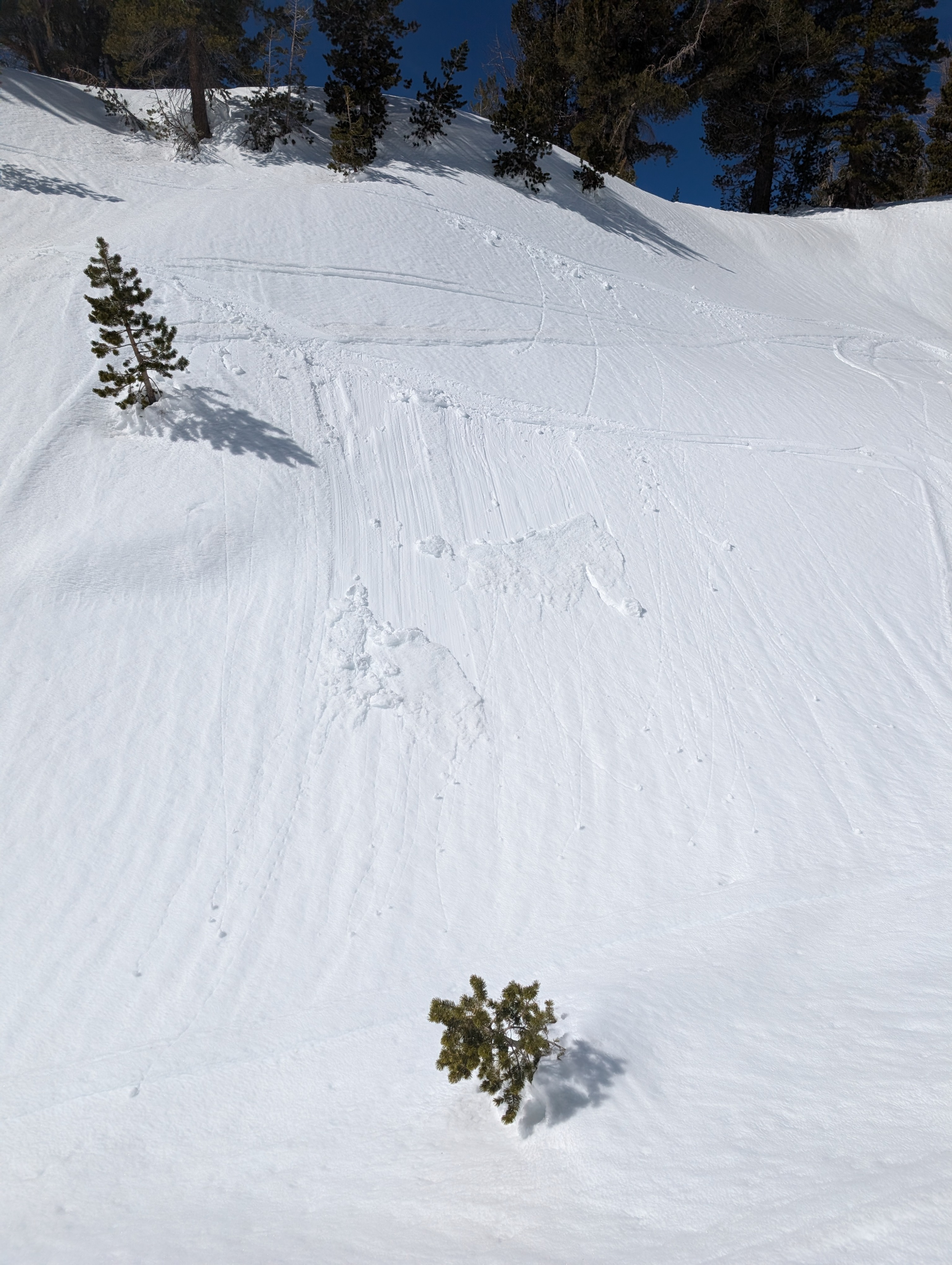
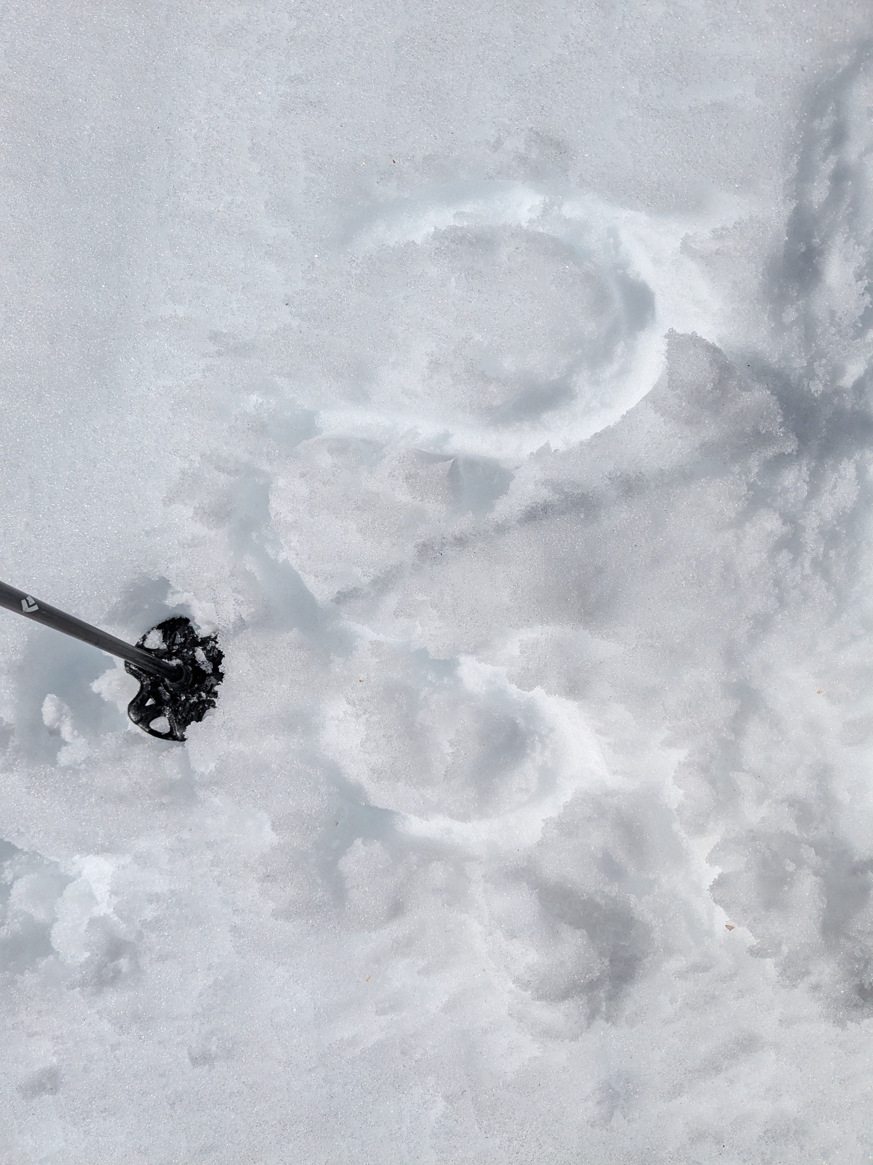
On our exit around noon, we triggered one tiny wet loose sluff on an E aspect near 8,850' along with a few roller balls and pinwheels.
Weather
- Air Temp
- 42 to 45
- Cloud Cover
- few
- Wind Loading
- none
- Snow Avail For Transport
- small smounts
Well above freezing air temperatures with light winds.