
Quick report
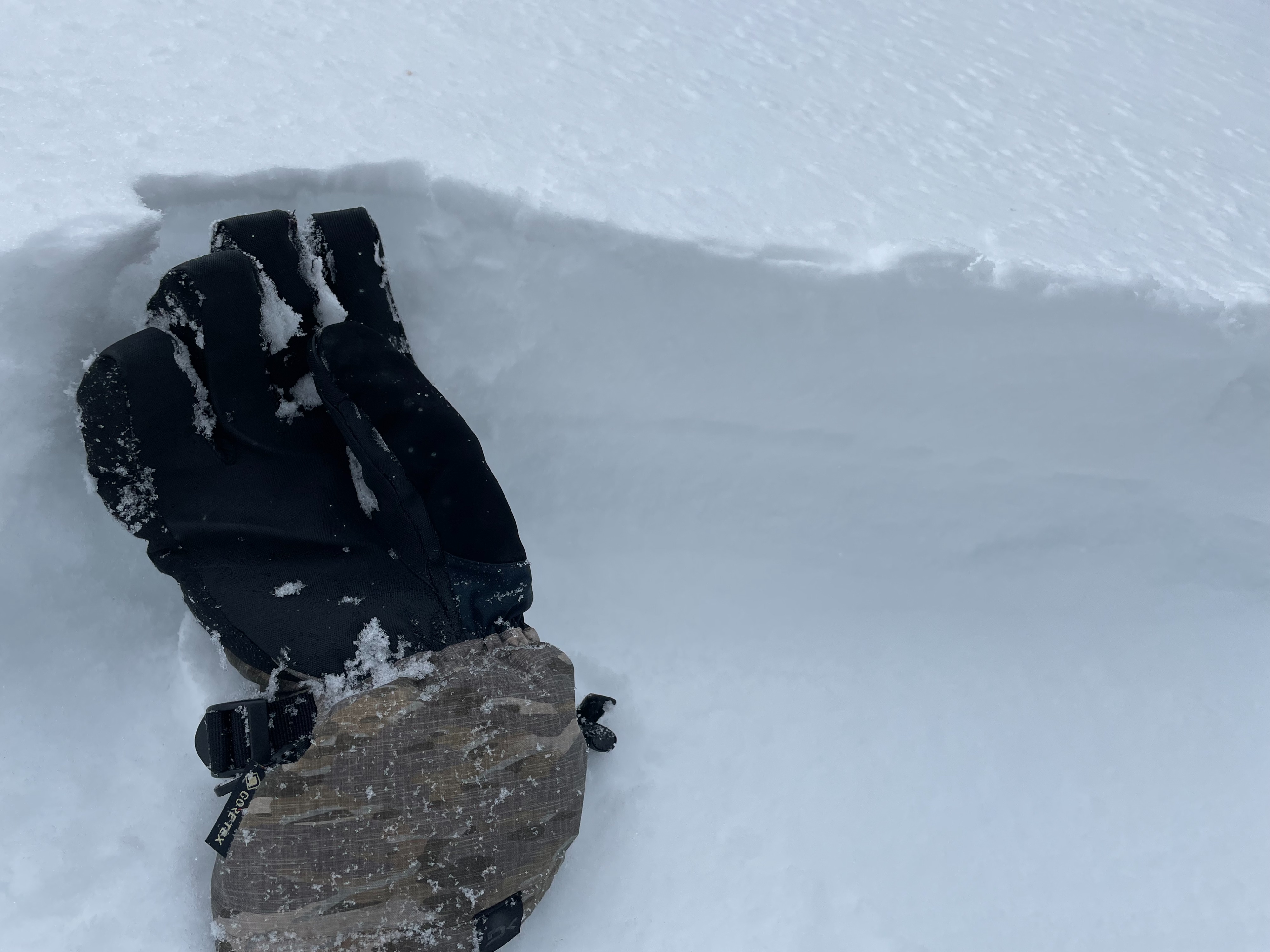
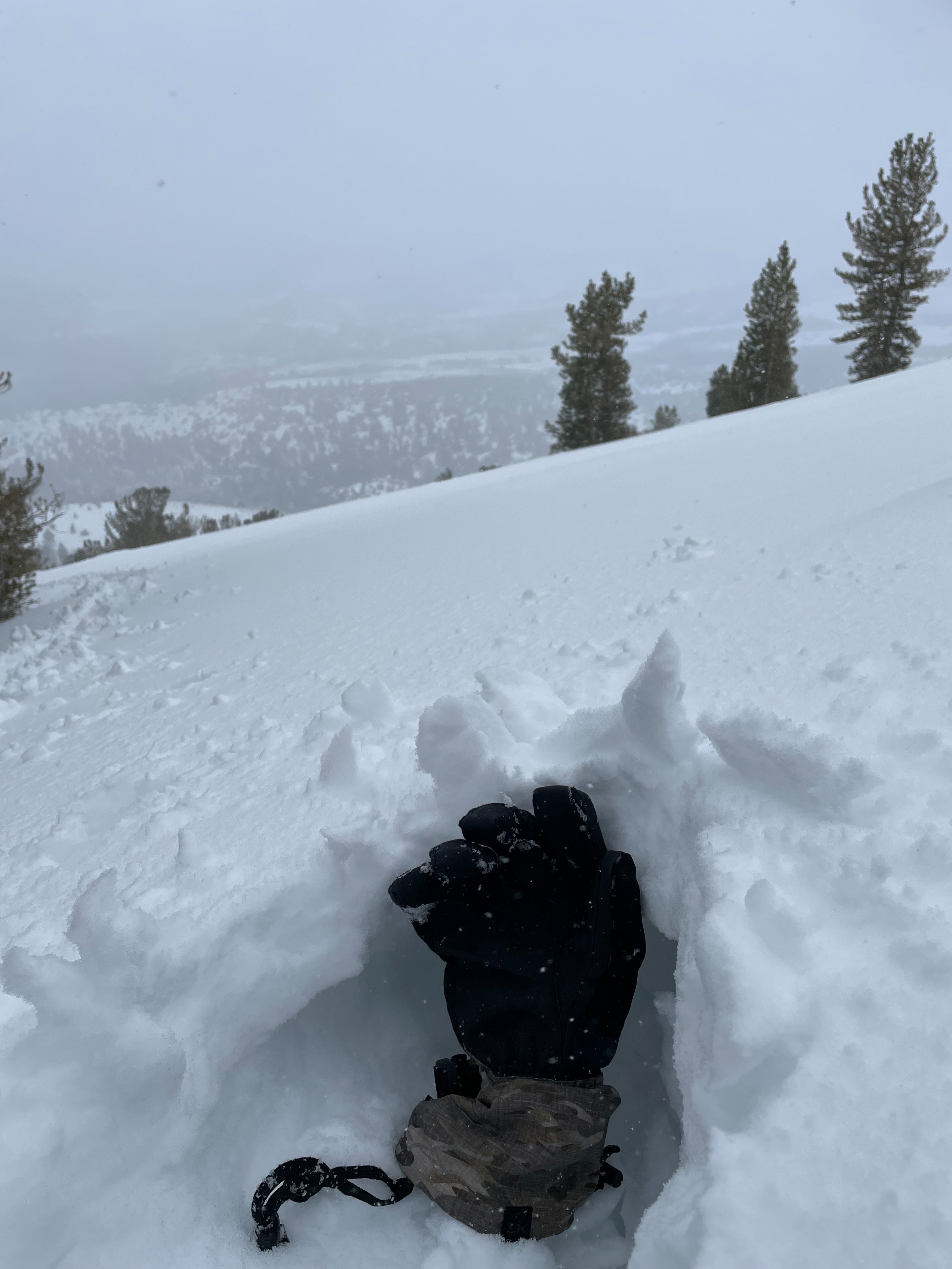
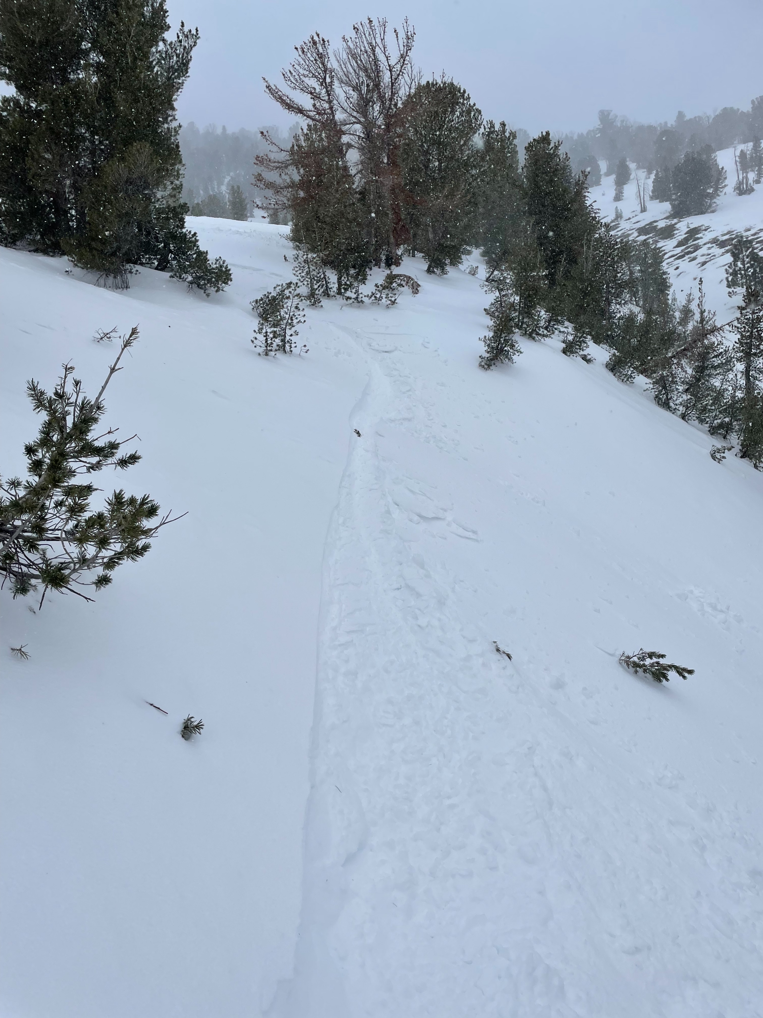
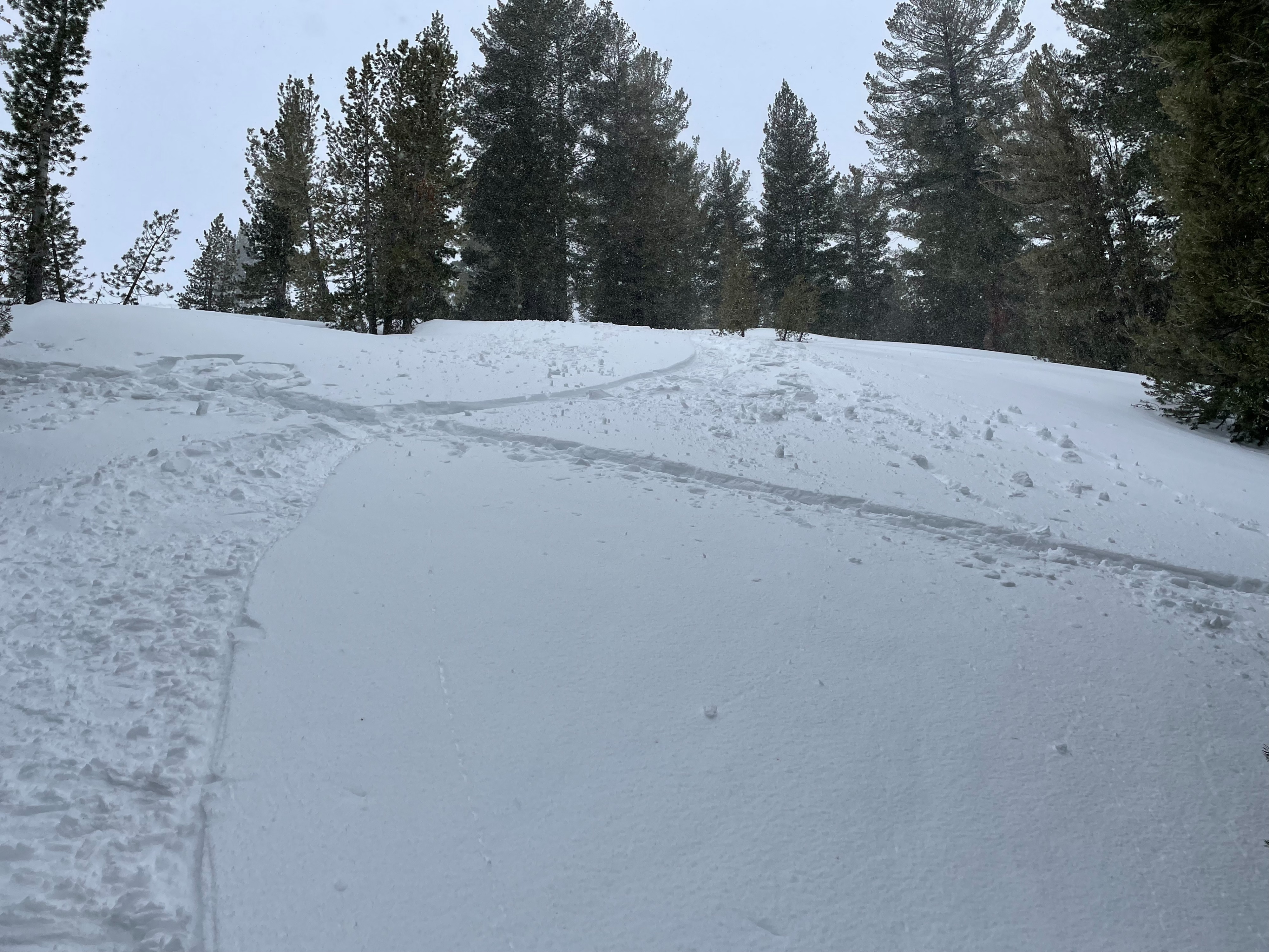
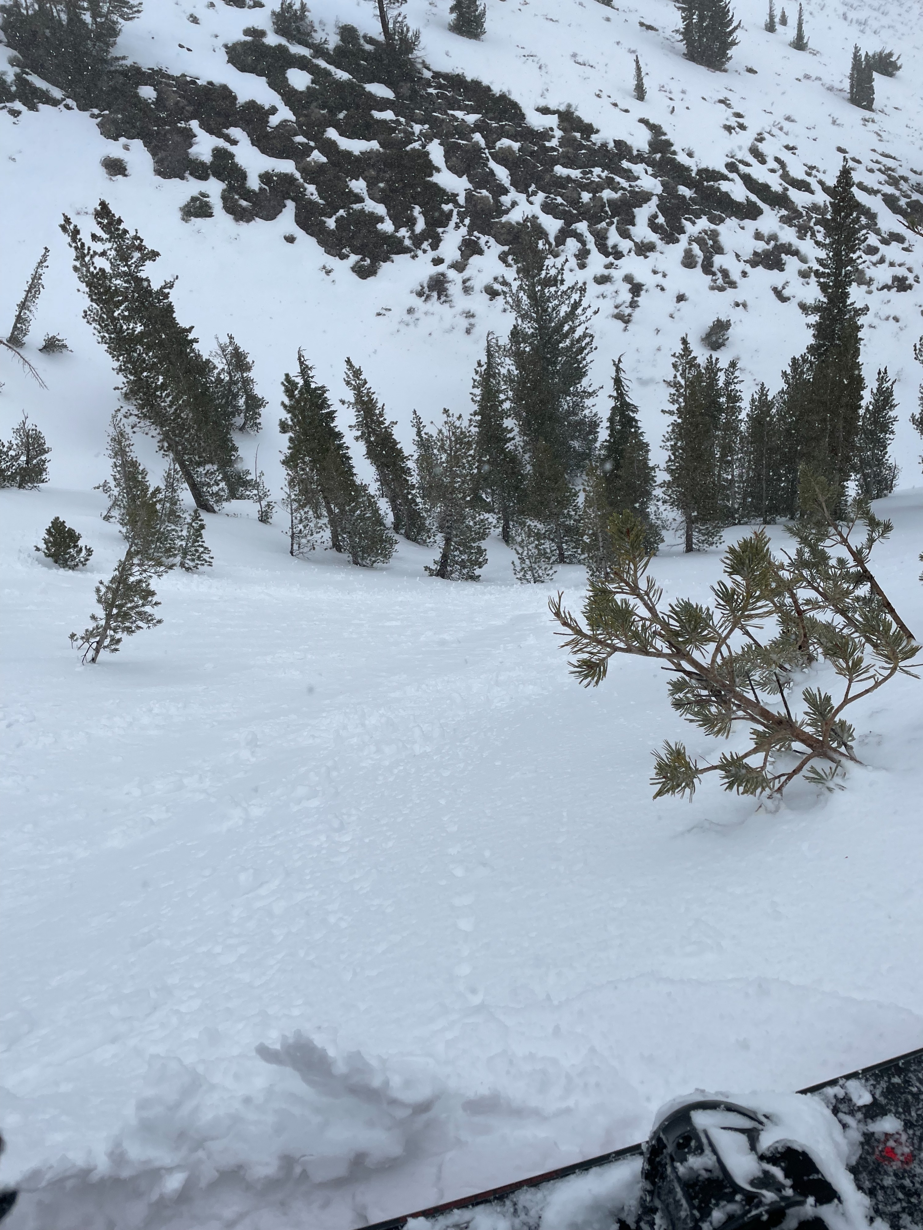
Weather and snow surfaces were changing during the day. SW winds and snowfall was increasing at mid to upper elevations and the upper 3-4 inches of snow was becoming heavier. The heavy nature of the surface snow was felt while skinning, but snow did not feel sticky while descending until 8,000 feet and below. Ski cuts on short steep features produced minimal roller ball activity and no loose-wet activity this afternoon. I observed minimal instability during my tour from 930 AM to 230 PM today. However, weather and snow conditions were deteriorating throughout the day. By the afternoon hours, moderate amounts of snow was seen being transported above treeline. A thin wind skin was found in open areas around 9,000 ft and ski cuts over a couple short, steep NE face rolls produced minimal roller ball activity at 1 PM.
Weather
- Air Temp
- Just above freezing at 9100'. Low 40s F @7600'
- Cloud Cover
- overcast
- Wind Loading
- light
- Rain Elevation
- around 8,000'
- Recent Snowfall
- 2.5
- Snow Avail For Transport
- moderate amounts
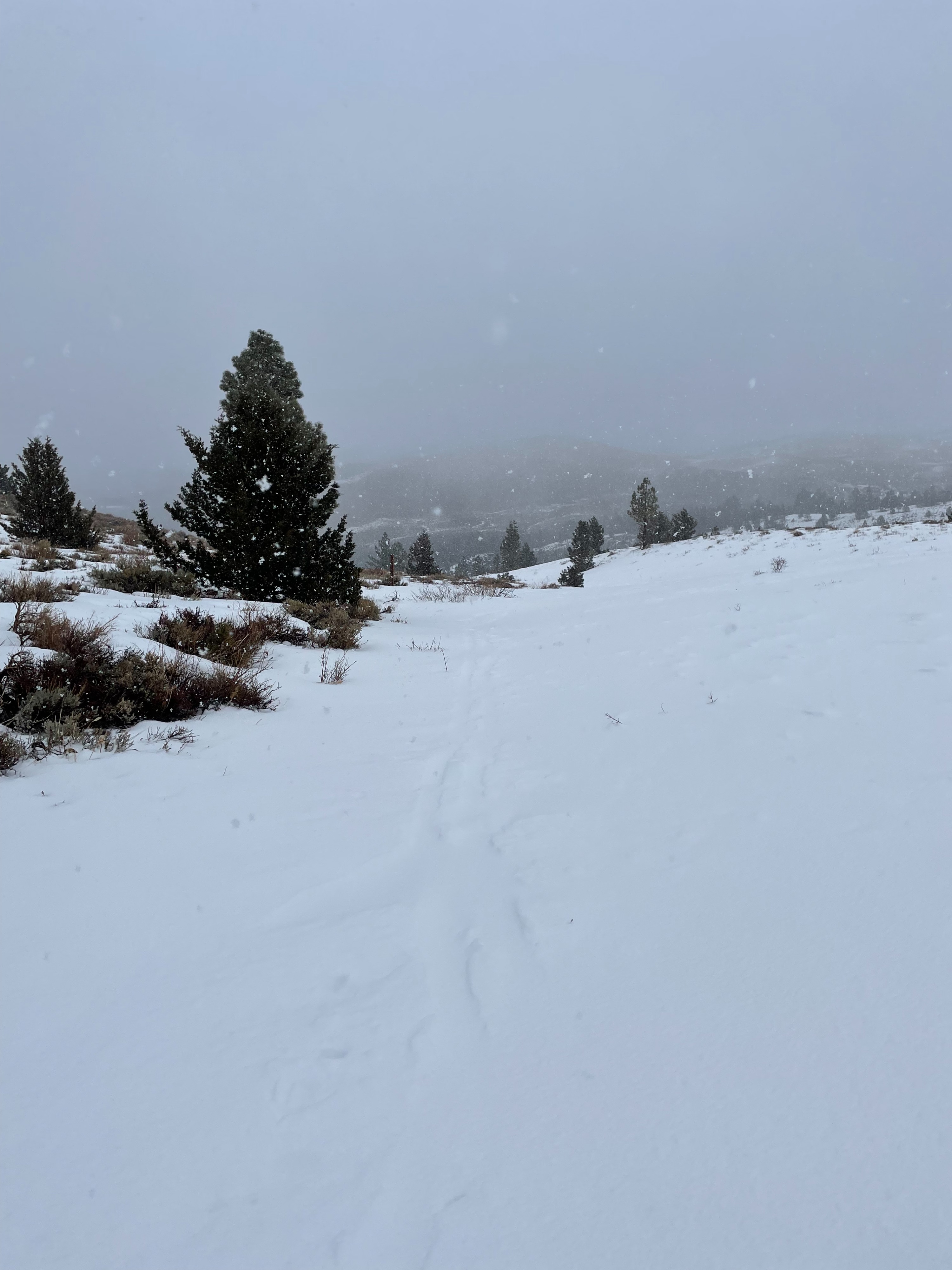
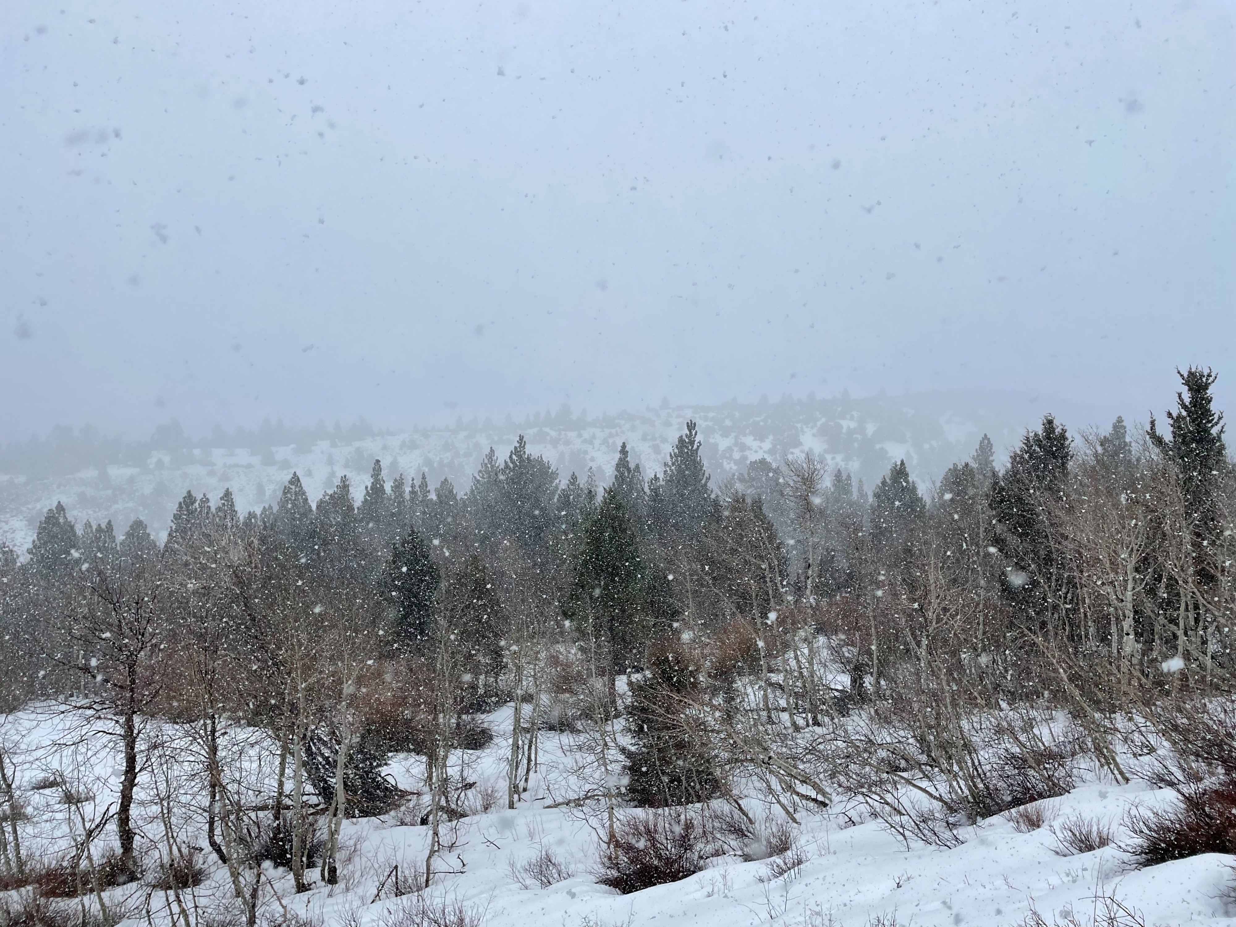
Broken skies and light winds in morning gave way to light snowfall and moderate winds by midday BTL. By afternoon, snowfall and SW winds increased, about an inch of new snow had fallen by the time I was descending. Below 8,000 ft snow turned to light rain.
Snowpack
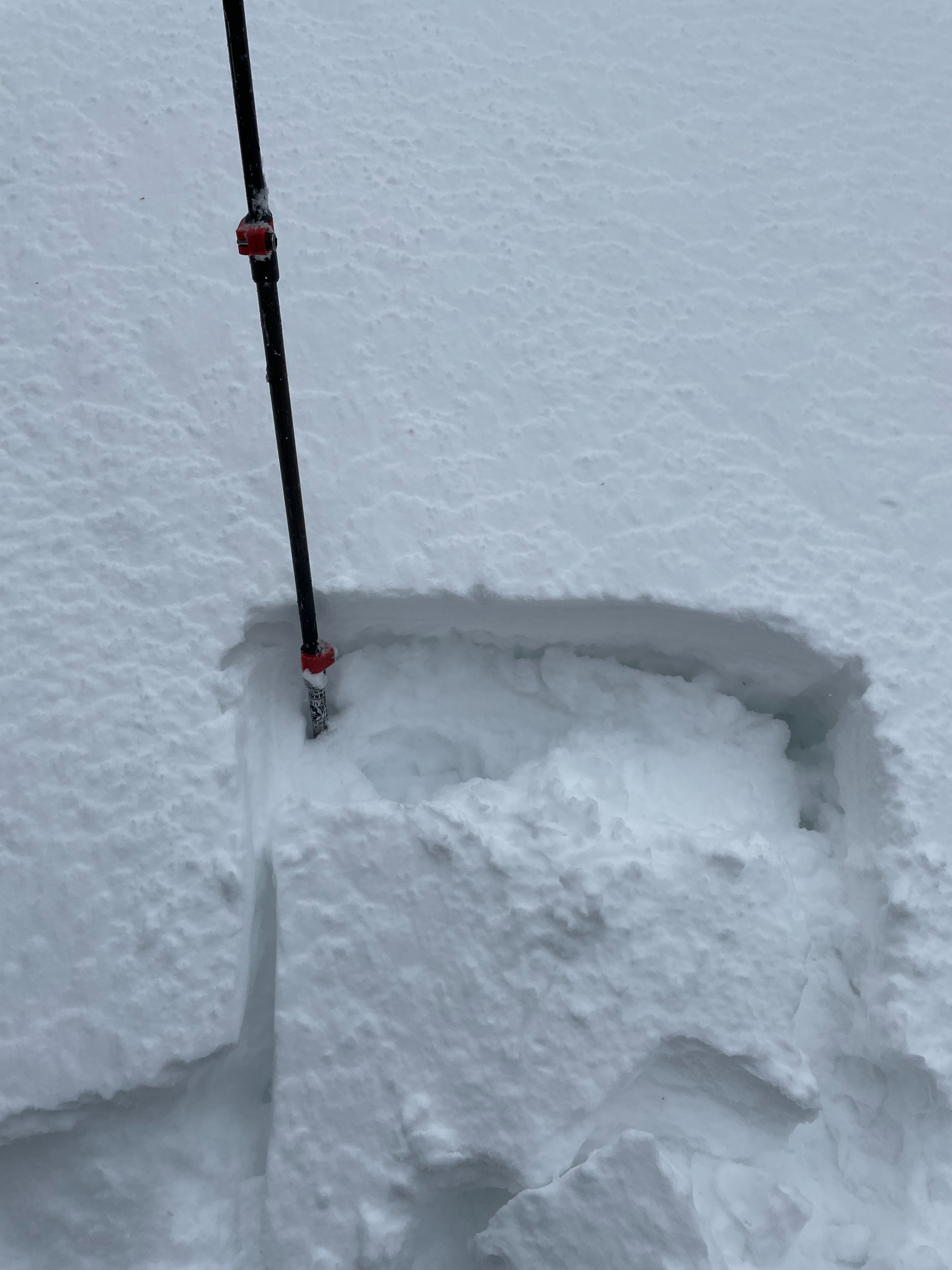
Main takeaway from my short tour was that the surface snow changed quite a bit from morning to afternoon hours. At the 7600' to 8,000 ft level snowpack was shallow and interrupted by sage brush. Snow at this elevation was weak and wintry in the morning with widespread surface hoar and surface facets that all turned to moist mush by time of descent at 2 PM. At 9100 ft. NE aspect, I found HS to be around 75 cm. Boot pen: 40 cm; Ski pen 25cm. Top few inches of low density snow we received last week had become heavier and was resting on either a firm crust, dry loose facets above a crust, or a combination of thin crusts and dry facets depending on aspect from E to N. By 2 PM, around an inch of new snow had fallen at upper and mid elevations and rain was falling below 8,000 feet.