

Quick report
I traveled top down between the hours of 2 and 4 pm to observe maximum warming for today, and to see if the strong to extreme winds were blowing snow/had loaded leeward slopes at the highest elevations.
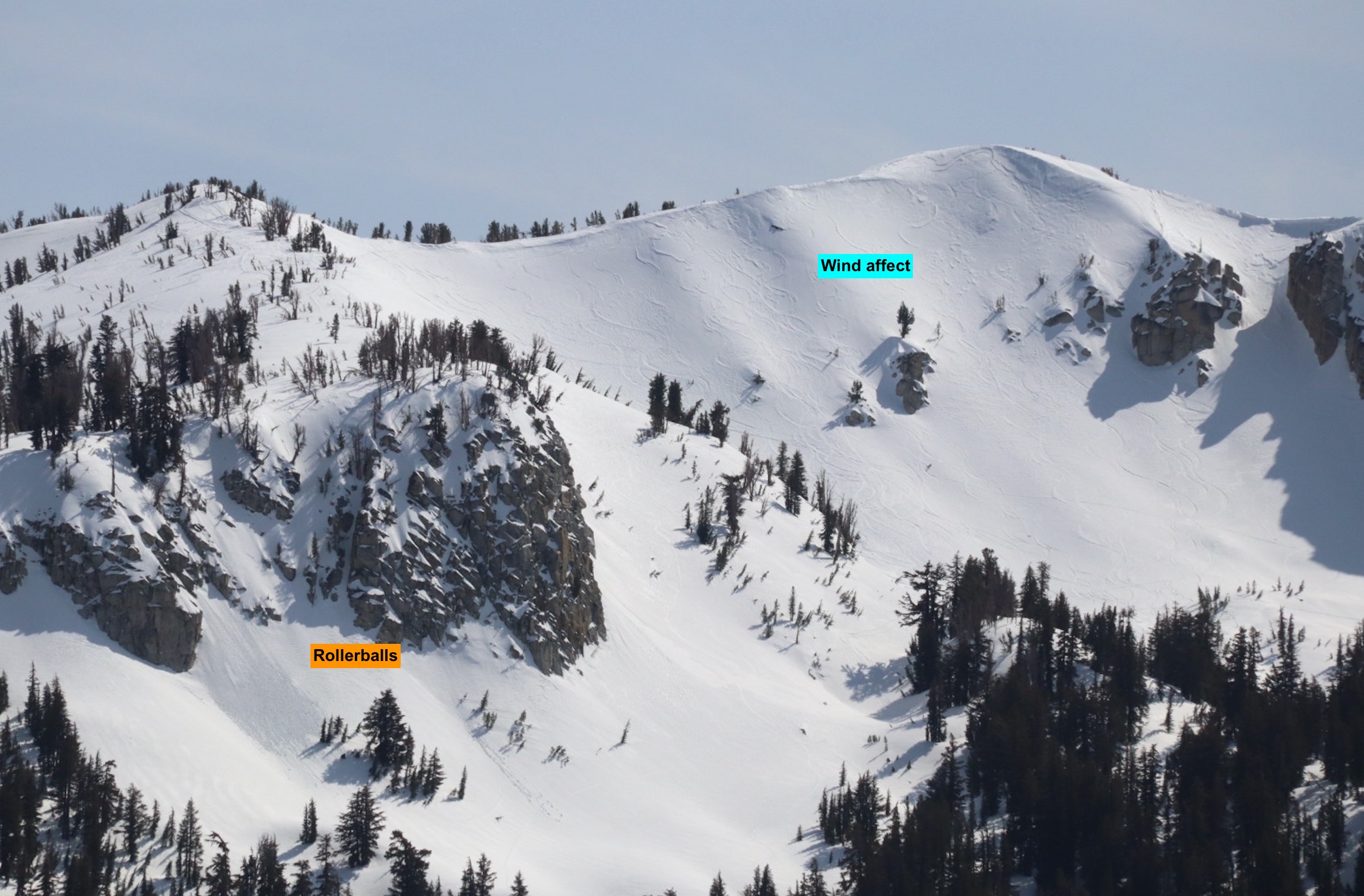
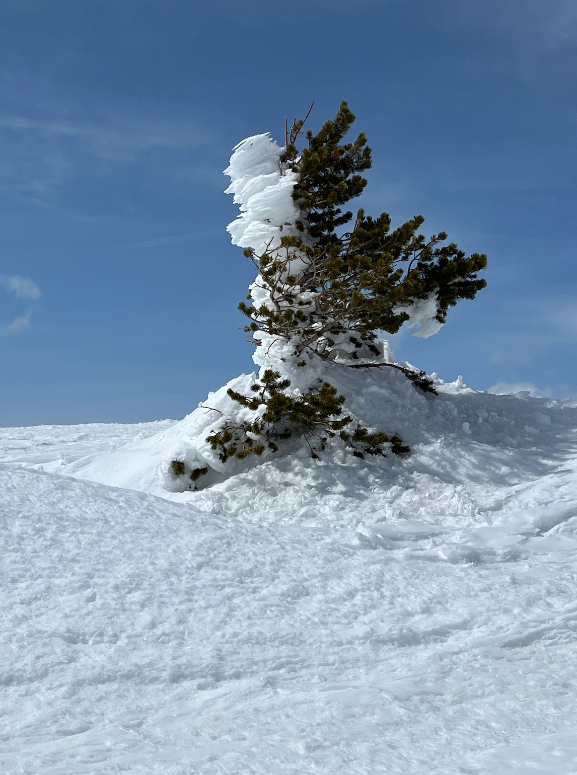
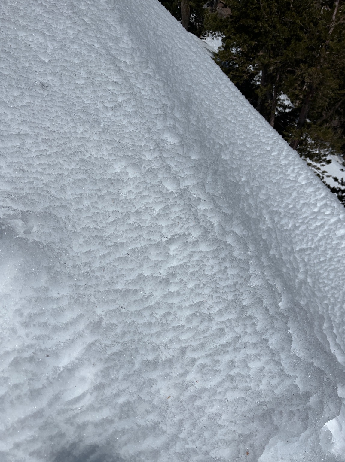
- Wind transport of cold, dry snow was evident at the highest elevations today. However, rather than load the snow onto leeward slopes, winds were blowing snow around in random patterns, intermittently. Minimal blowing snow was observed along the Crest in either direction.
- Wetness and reactivity increased as I decreased elevation on solar slopes. Temps increased and winds decreased accordingly.
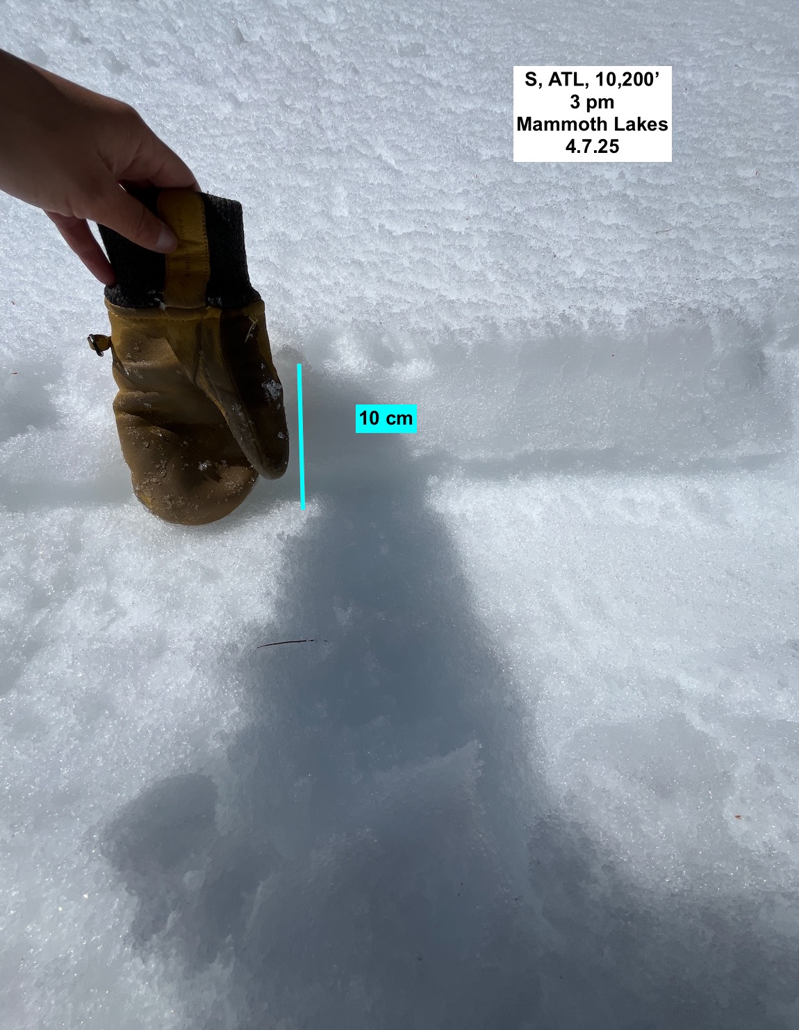
- South - East, ATL, 10,800' holds moist to dry snow beneath 5 - 15 cm of melt freeze crust. This crust did not fully thaw today (frozen at the top 1 - 5 cm) .
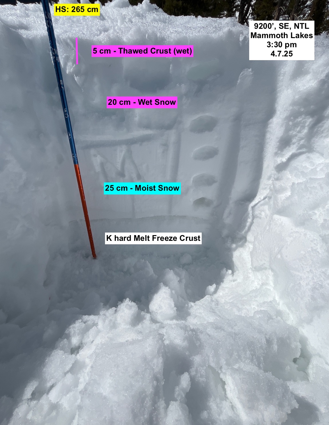
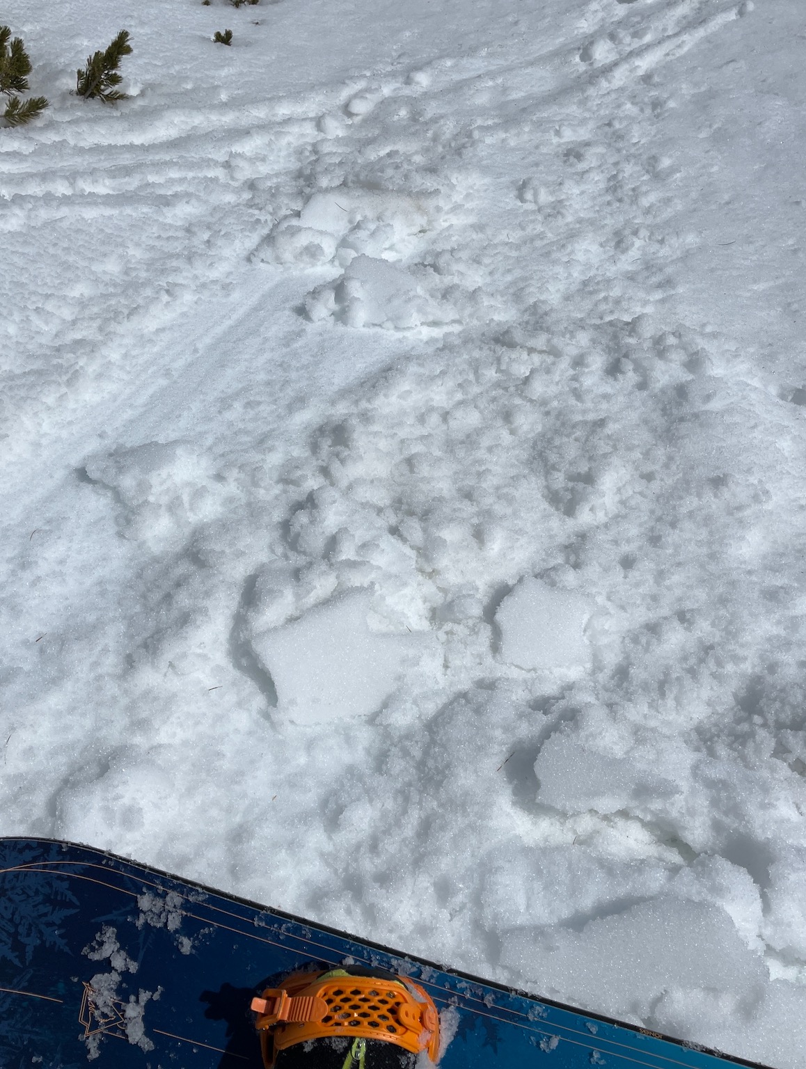
- At 9500' South, NTL: no dry snow was observed. Wet surfaces lay over moist snow over a stout P hard crust. Boot Pen: 35 cm, HS: 0 - 265 cm.
- Below 9000, South, BTL': Boot Pen: 35 cm, Ski Pen: 35 cm - the whole snowpack was wet. Some areas were all melt forms, others were still transitional (slight aspect changes/protected features).
- Some rollerball activity was observed on NTL North facing terrain ~ 10,000.
Weather
- Air Temp
- 30/41
- Cloud Cover
- scattered
- Snow Avail For Transport
- small smounts
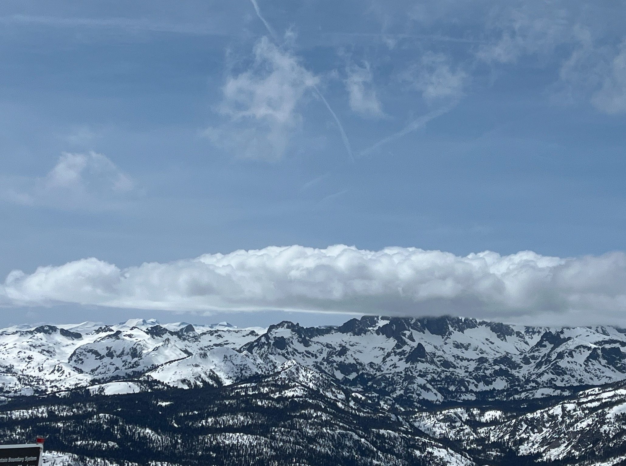
Today was wintery above 10,500' with temperatures below freezing and strong to extreme west southwest winds. It was spring like below 10,000', with temperatures well above freezing and light west southwest winds below 9500'. Clouds were scattered to broken, and it did not appear like a storm was on the horizon until 5 or 6 pm. Dark, thick cloud cover was more prominent over the crest in the northern half of the region by this point.