
Glacier Park - East Side
Quick report
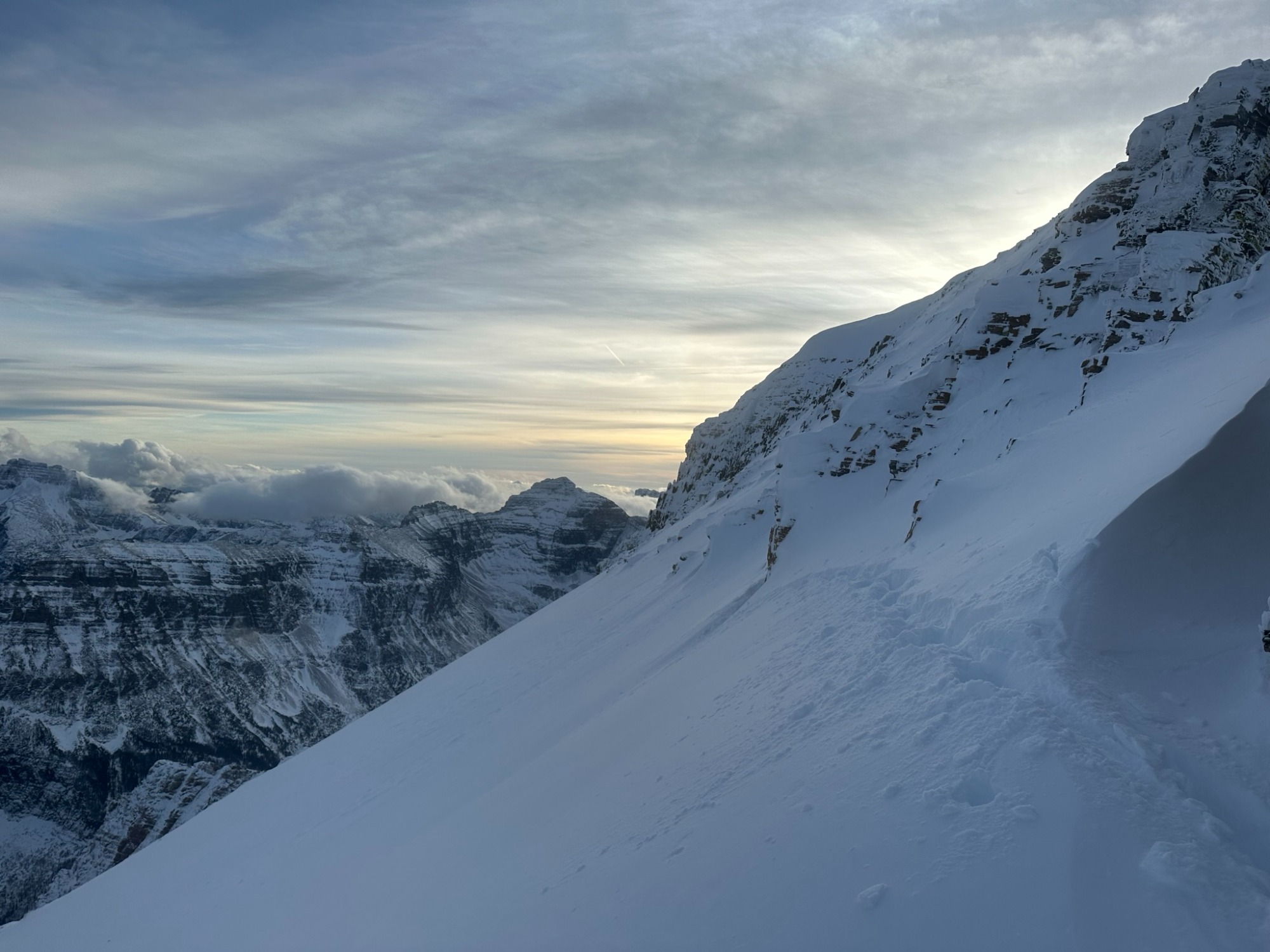
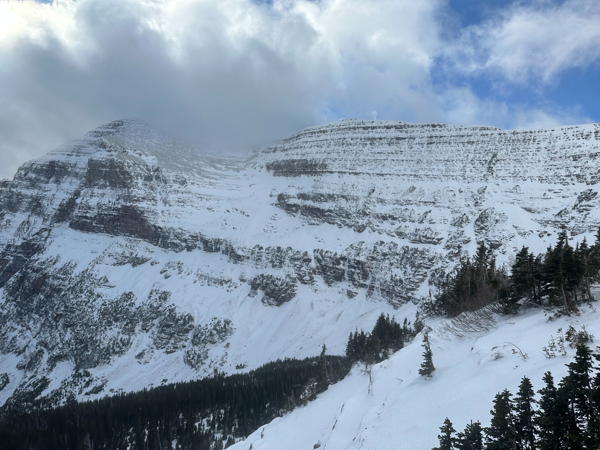
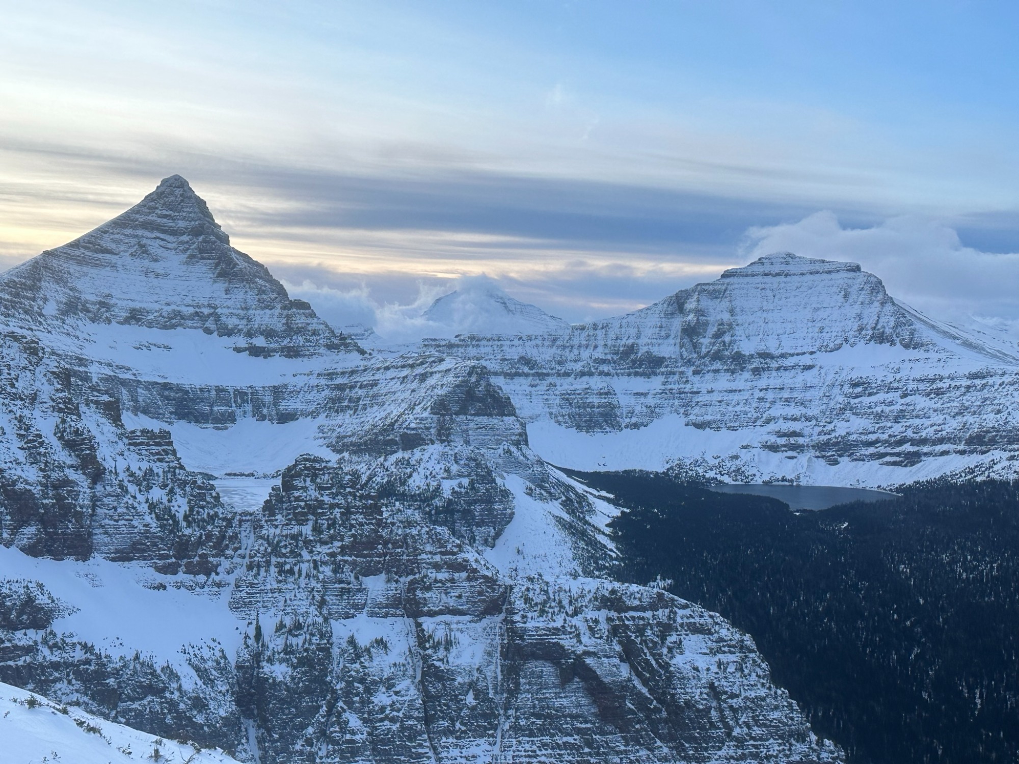
-Bare ground or 1-3" of melt-freeze (MF)/crusty snow at 5000' elevation. -Recent snow from Nov 7/8 was about 4-8" deep around 6000' and resting on top of older melt-freeze crusts 3-4" thick. -This recent snow depened quickly to 10-12+" in areas sheltered from the wind between 6000-7500'. The underlying MF crust was sometimes supportable, but other times not, and boot penetration reached 15-20" to nearly the ground. -In the wind exposed alpine terrain above 7500', the snowpack was highly variable, but generally westerly aspects were scoured down to rock or a supportable and cramponable MF crust, while easterlies held more recent soft storm snow and wind slabs (4F hard). -Post-holed through a few wind pillows with no slab releases or any cracking. -Generally stable conditions with the base of snowpack consisting mostly of melt-freeze crusts on the terrain observed. No avalanche activity observed. No signs of instability.
Weather
- Cloud Cover
- scattered
- Wind Loading
- previous
- Snow Avail For Transport
- moderate amounts
Partly sunny to mostly cloudy skies all day. No precipitation with light westerly winds and very sporadic stronger gusts. Minimal wind-loading confined to terrain above 7000'. Daytime high temperatures estimated in the high teens to low 20s *F above 7000'.