
Quick report
- Collapsing
- Observed
Weather
- Air Temp
- 40
- Cloud Cover
- overcast
- Wind Loading
- intense
- Rain Elevation
- 4,000'
- Snow Avail For Transport
- moderate amounts
Overcast skies, light rain, with moderate to strong ridgetop winds predominately from the ESE
Snowpack
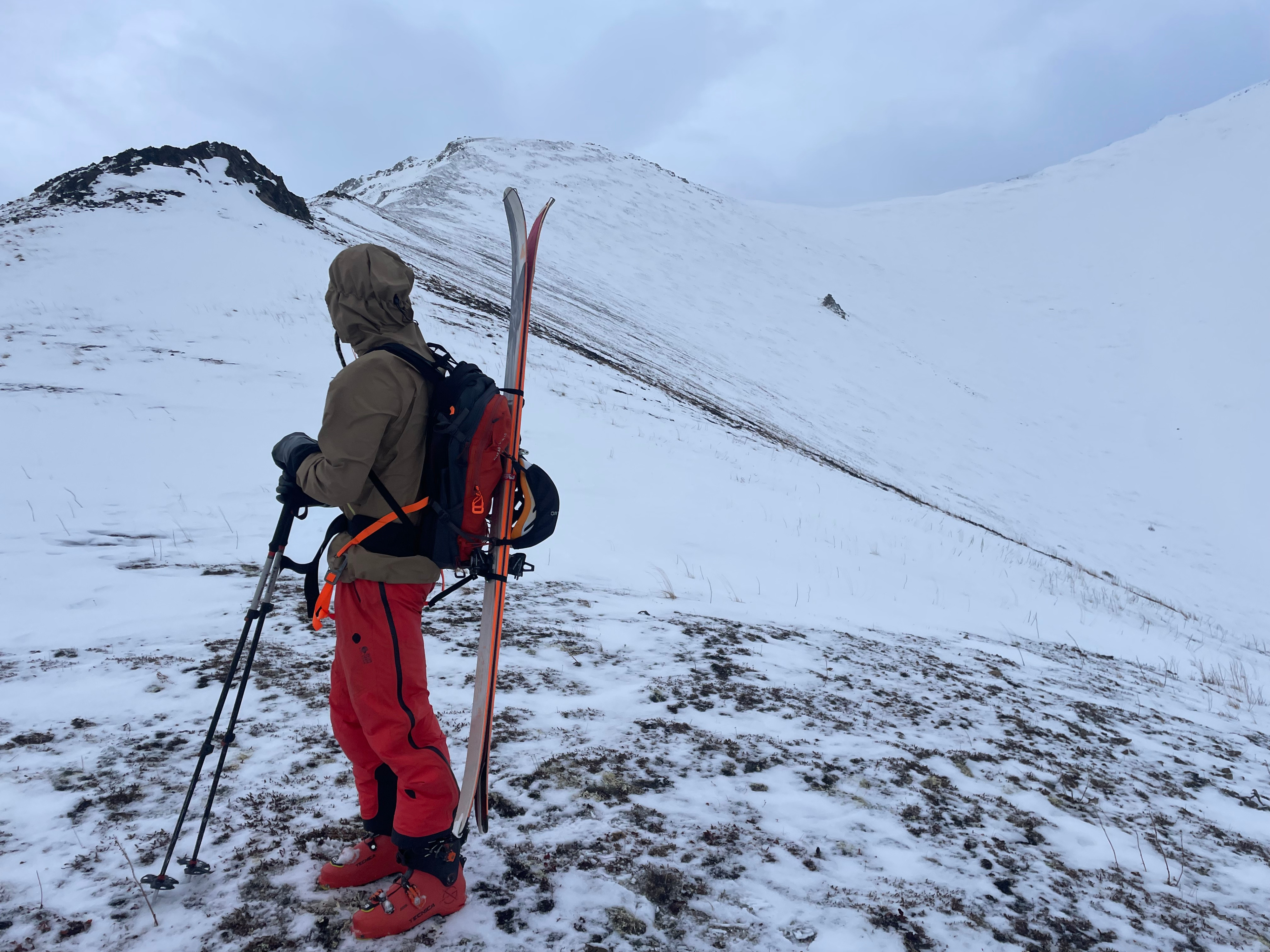
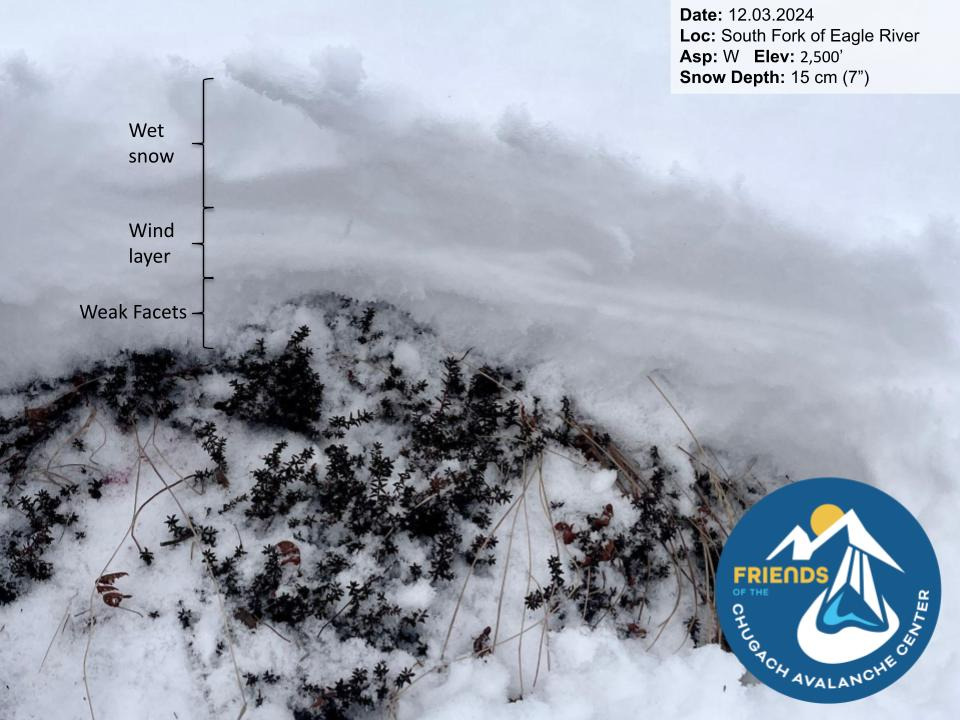
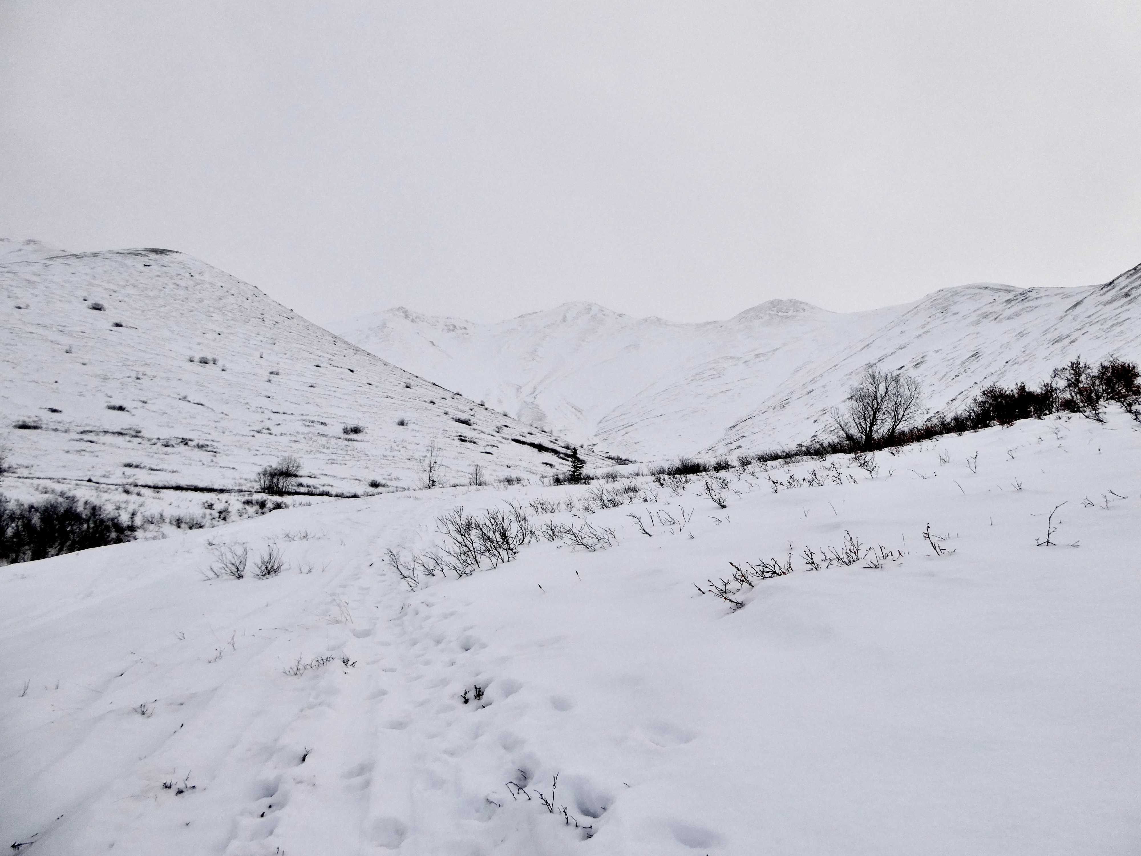
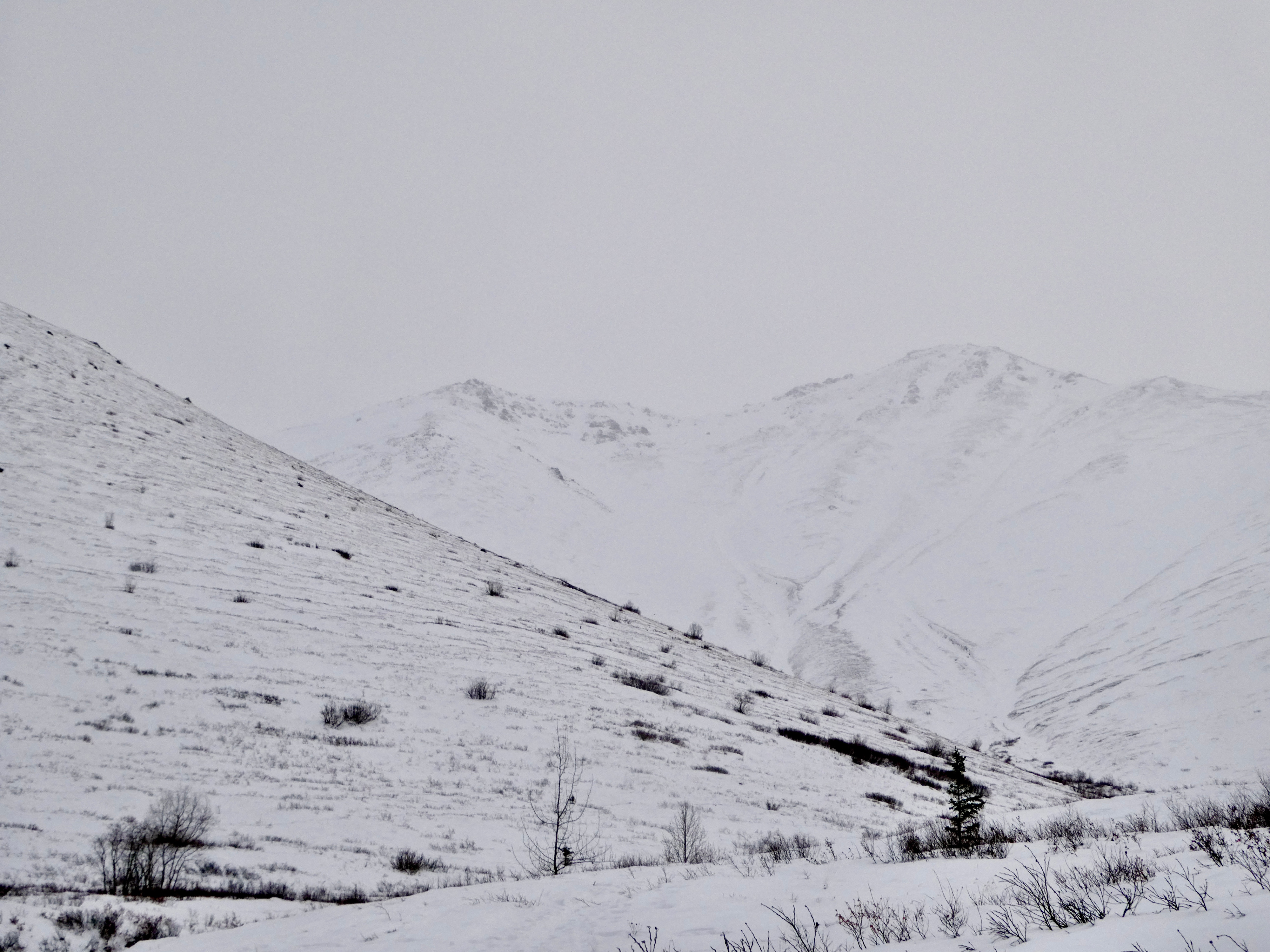
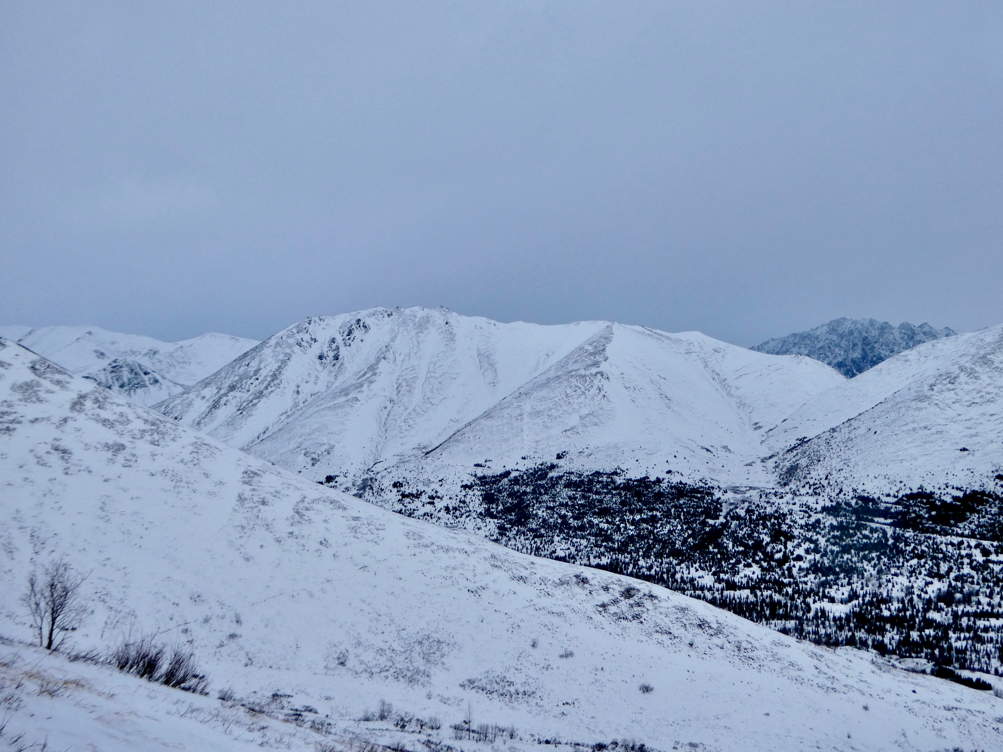
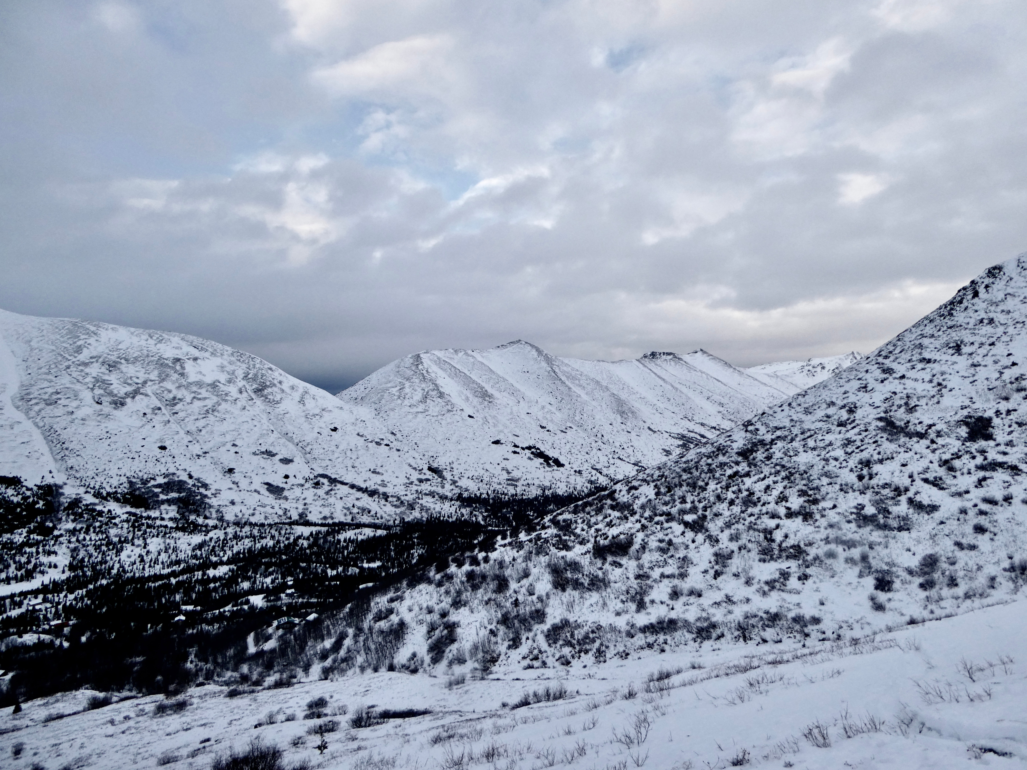
The snowpack surface has changed from dry snow to wet, gloppy snow. In the majority of our hand pits, the wet snow was roughly 2-5 cm deep and sat on top of a thin wind layer followed by a dry faceted base. We noticed the snow surface became dry again around 4,000' and was predominately wind slab on top of facets. Because of how shallow the snowpack was (~10 to 20 cm), no formal snowpits were dug. The snowpack was deeper in areas that tended to fill up with snow, like gullies and alpine bowls. Bare ground was still visible in many areas. Because of the shallow coverage, the likelihood of triggering an avalanche in the Chugach State Park remains low, however, if you were to trigger an avalanche it would be in steep wind-loaded terrain.
The grabby wet snow combined with isolated breakable wind crust and shallow coverage causes conditions to still be high for the prospects of knee injuries or twisted ankles. We recommend traveling with caution with these snow surface conditions.