
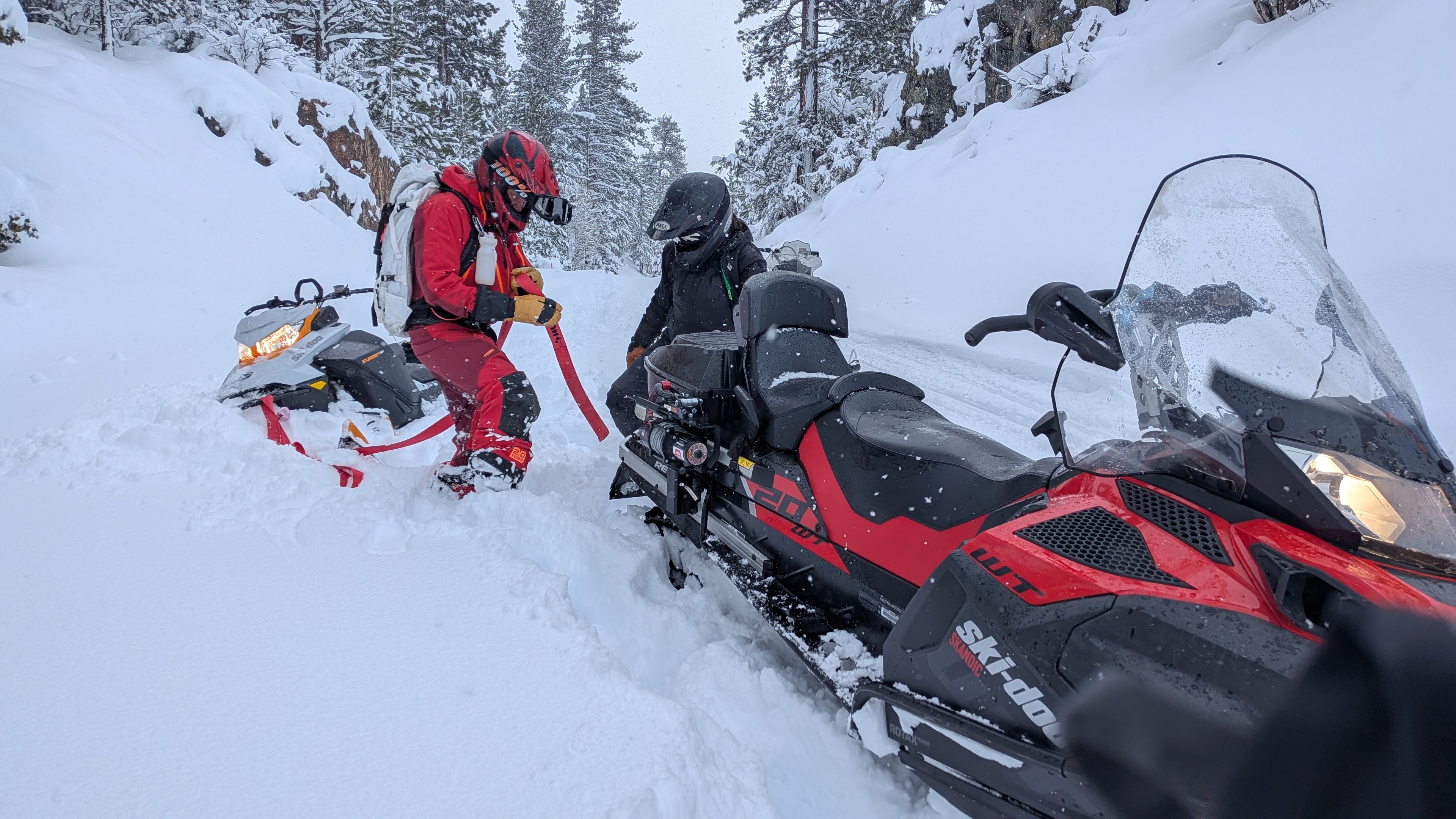
Quick report
Weather / Loading Ongoing storm loading with heavy snowfall + strong SW winds continues to build sensitive slabs and poor visibility can make wind-loaded features hard to identify. NWS guidance near Sonora Pass calls for additional heavy snow and very strong ridge winds (gusts up to ~80 mph), supporting rapid transport and fresh wind slab formation. Snowpack / Surface Conditions ~6 ft of new powder at the summit. New snow is heavy and wet in places, suggesting upside-down density or warm storm inputs; expect wet loose (sluffs) to become more likely where the surface gets damp (sun breaks, lower elevations, or any warming). Primary Avalanche Problems (most relevant today) Wind Slabs (SW winds): Likely on leeward aspects, cross-loaded gullies, and below ridgelines; could be natural or human-triggered and large enough to bury a person. Storm Slabs / Dry Loose: New snow instabilities remain sensitive during continued loading, with the potential for large avalanches near the crest in favored snowfall areas. Where new snow is heavy/wet, expect point releases on steep slopes, especially if temps rise or precipitation turns wetter.