
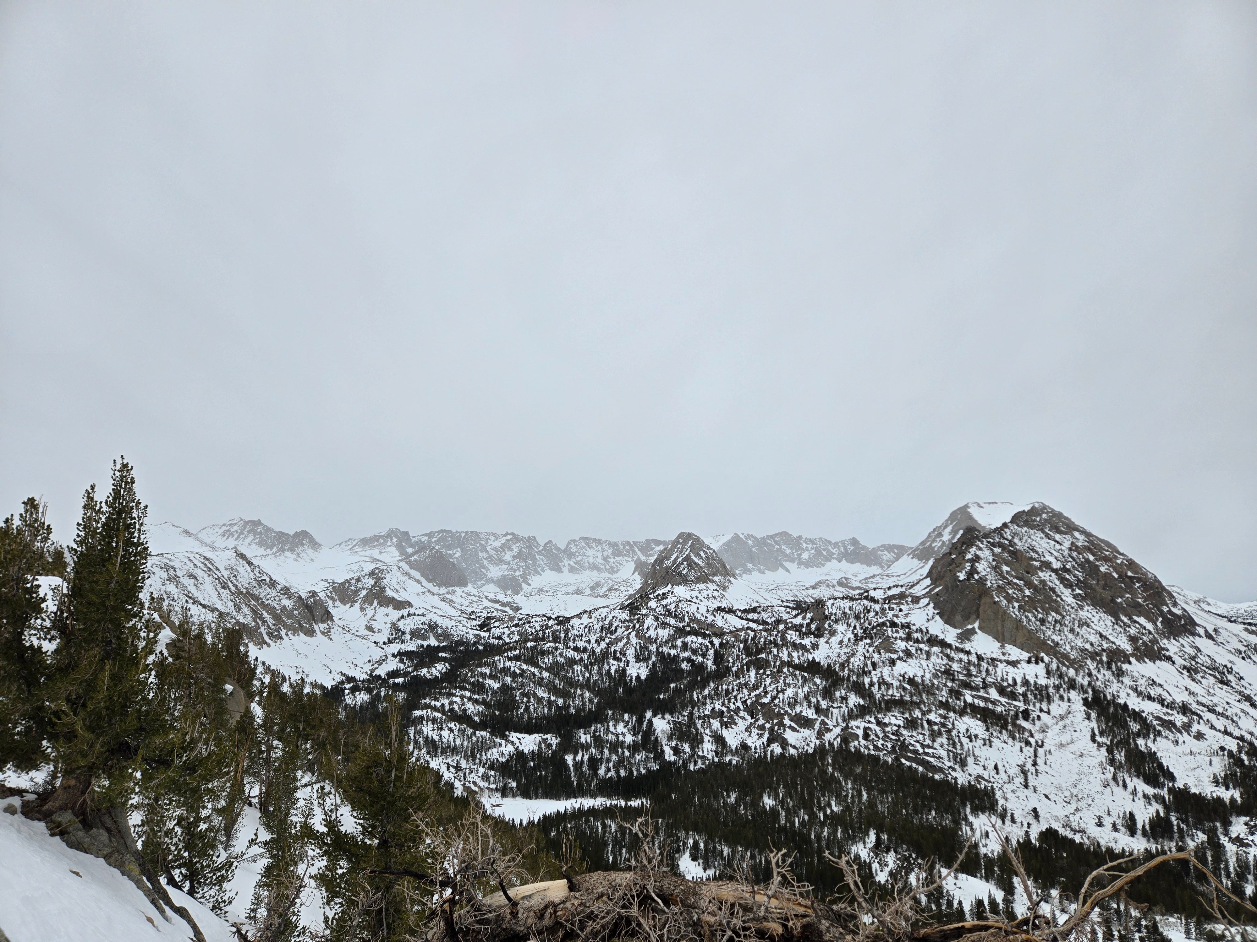
Quick report
- Cracking
- specific
As new snow begins to work its way into the forecast area, the avalanche center team has been thinking about how it will change the snowpack and our behavior.
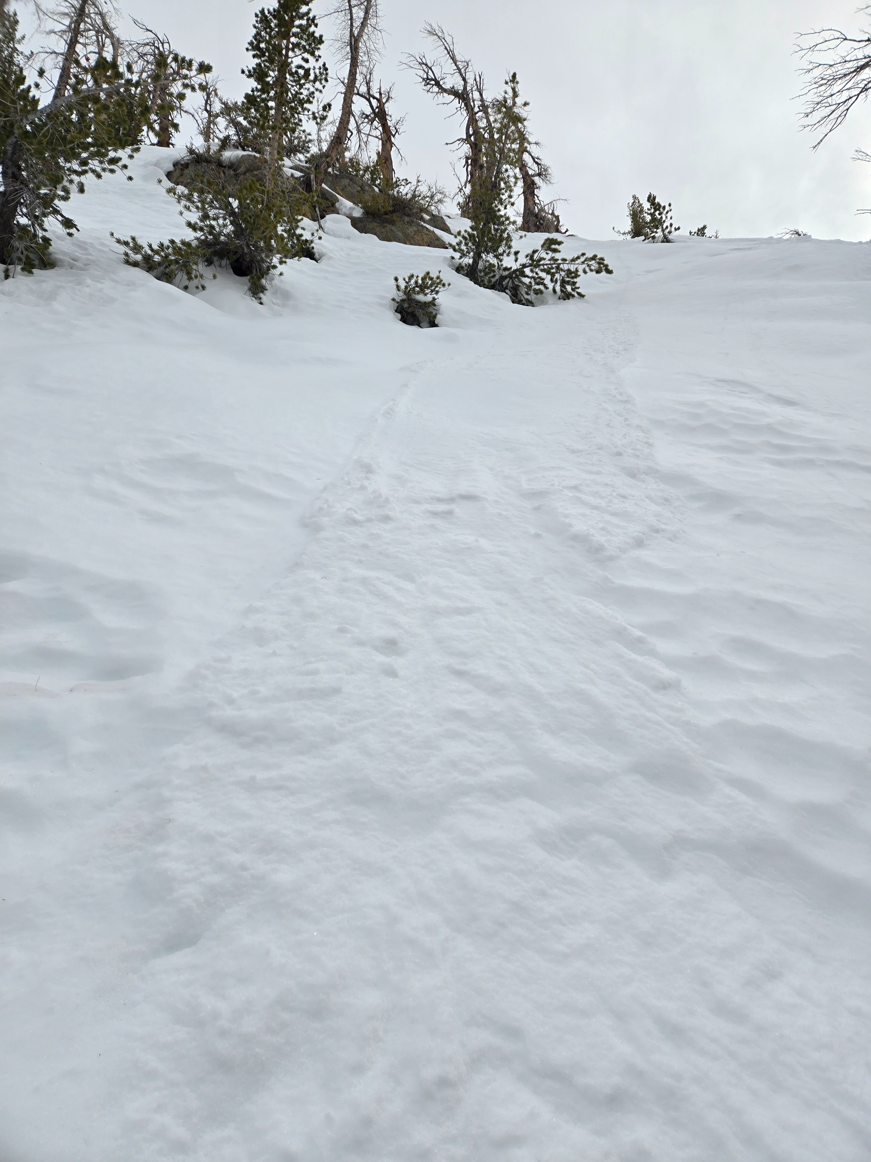
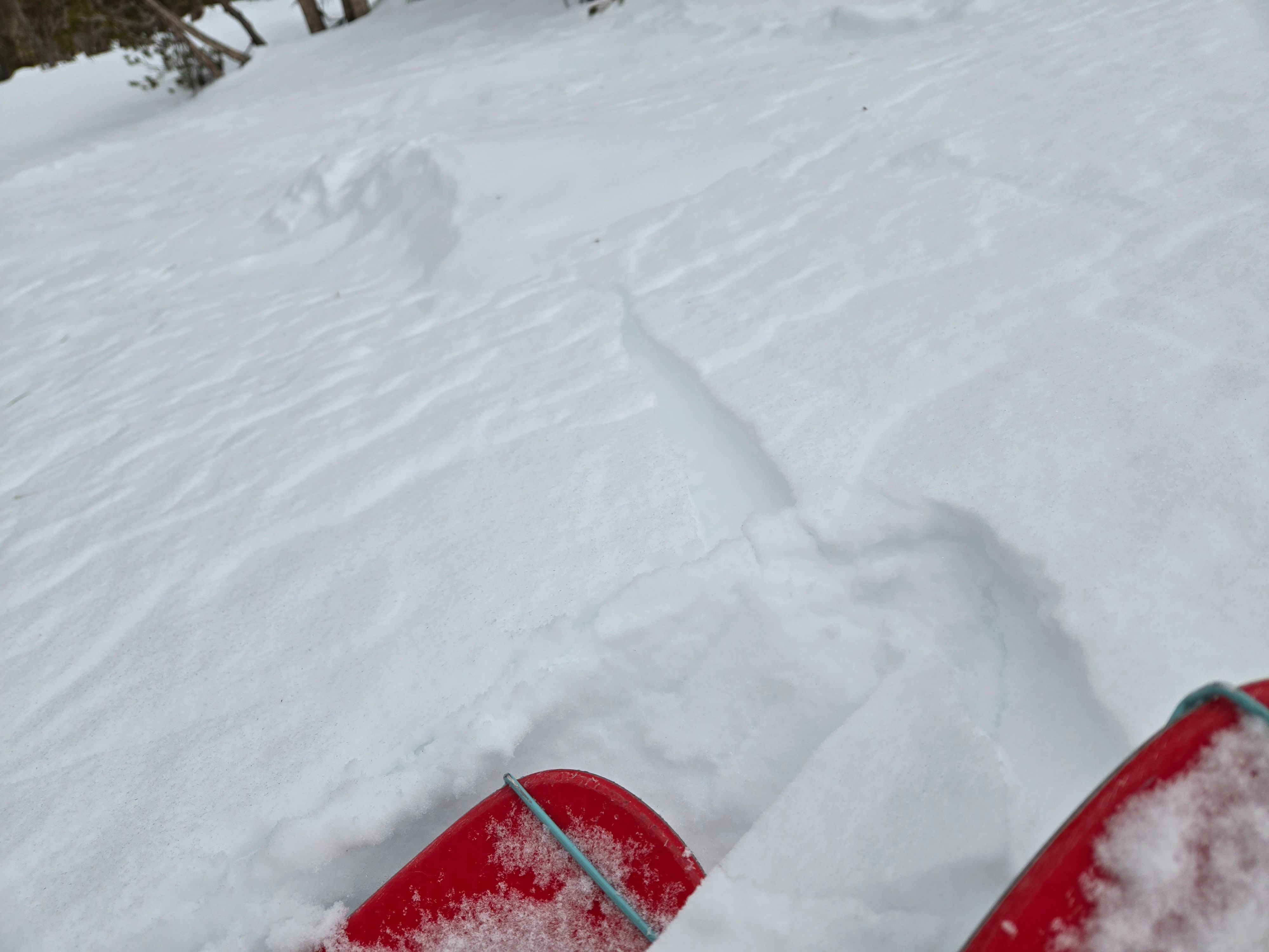
I triggered very small loose dry sluffs of facets near and below treeline on steep, wind-protected slopes. I got consistent, localized cracking on the leeward (north) side of a ridge, where a skiff of recently wind-blown snow cracked on top of weak facets. These were not really a concern in terms of stability today, but may be a taste of what things may look like as we get more snow on top of the facets.Weather
- Air Temp
- Upper 30s
- Cloud Cover
- overcast
- Wind Loading
- none
- Rain Elevation
- 9500
- Recent Snowfall
- Trace
- Snow Avail For Transport
- small smounts
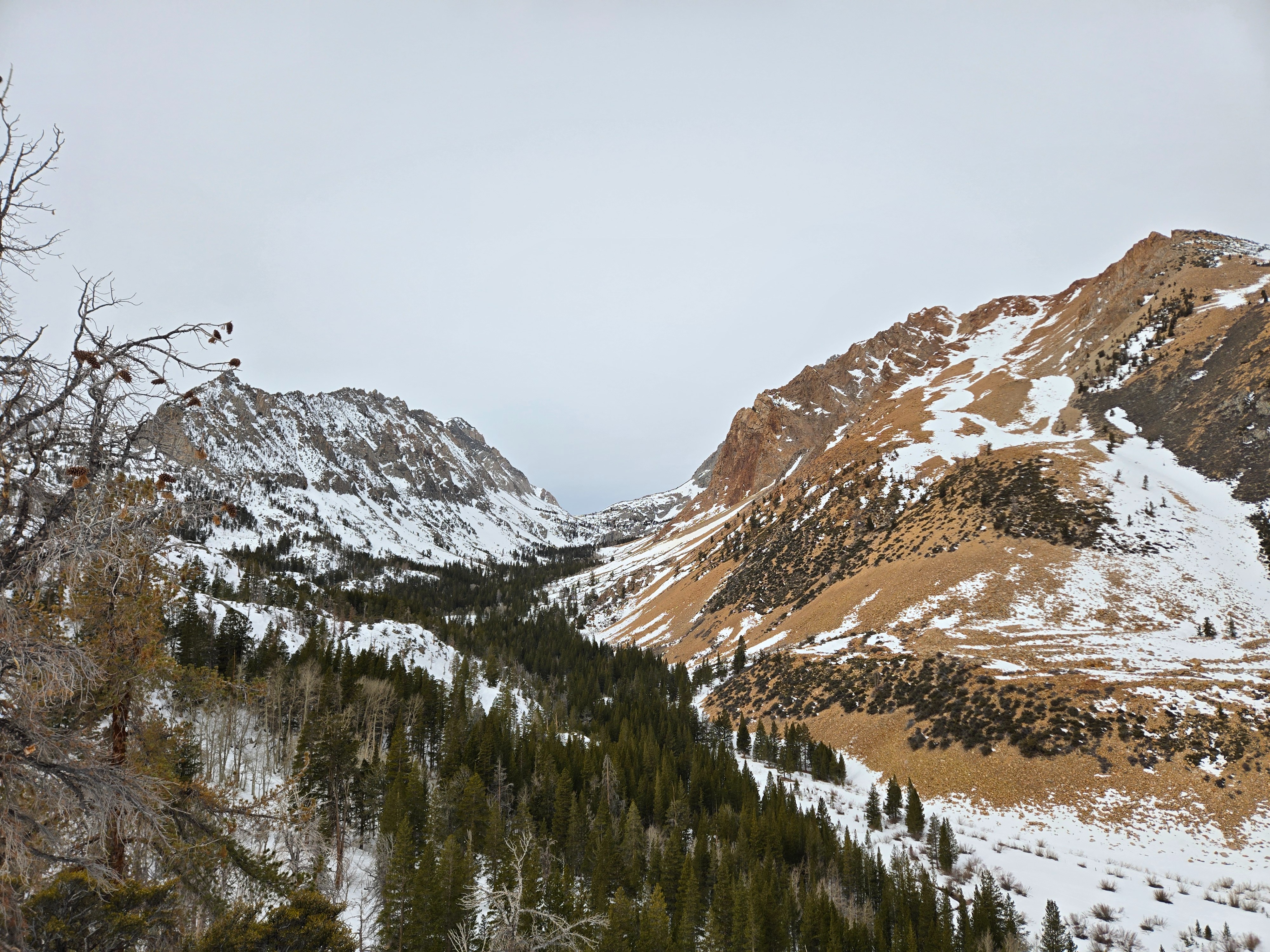
Cloud cover increased quickly this morning. Light snow showers above 9500 feet midday. Winds were light and shifted from the southwest to northeast throughout the day. Greenhousing seemed to be limited by the wind, and solar warming seemed limited by the clouds.
Snowpack
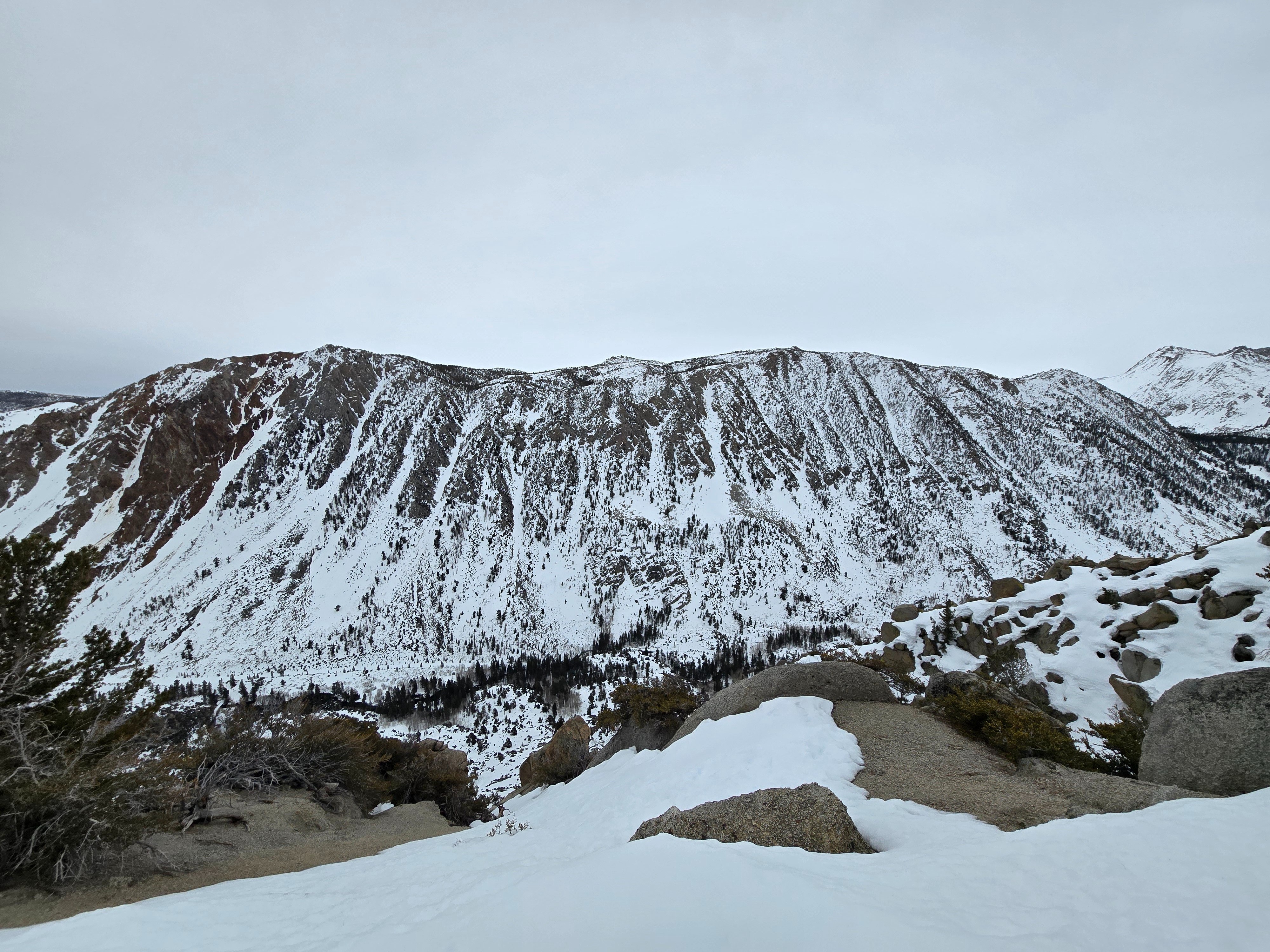
New snow in the forecast will fall on bare ground or melt-freeze crusts at lower elevations and solar aspects with gullies currently holding snow.
On polar aspects near and above treeline, forecasted snow will land on large, weak facets. In wind-exposed areas, the facets make up a thin layer atop old wind board. In wind-protected areas, the facets are about 30 cm thick.
East and west-facing slopes are transitional, with elements of both solar and polar aspects.
See profile.