
Quick report
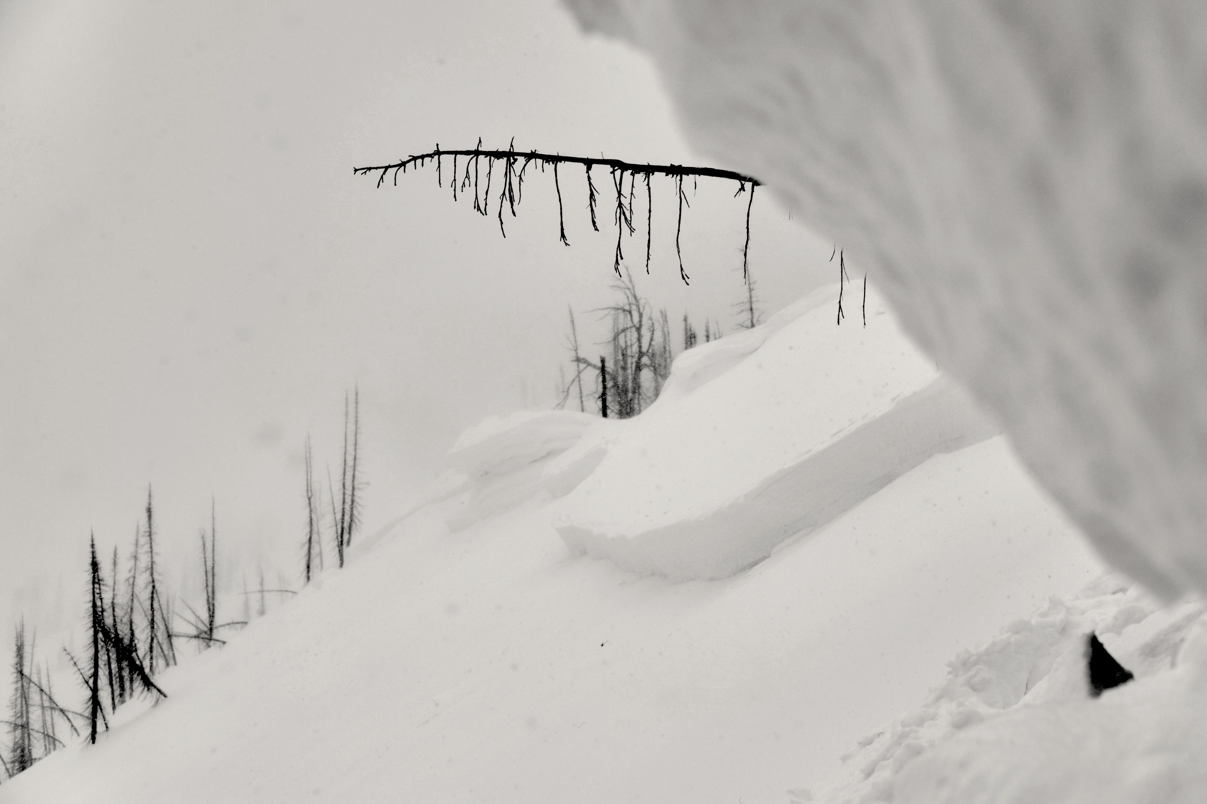
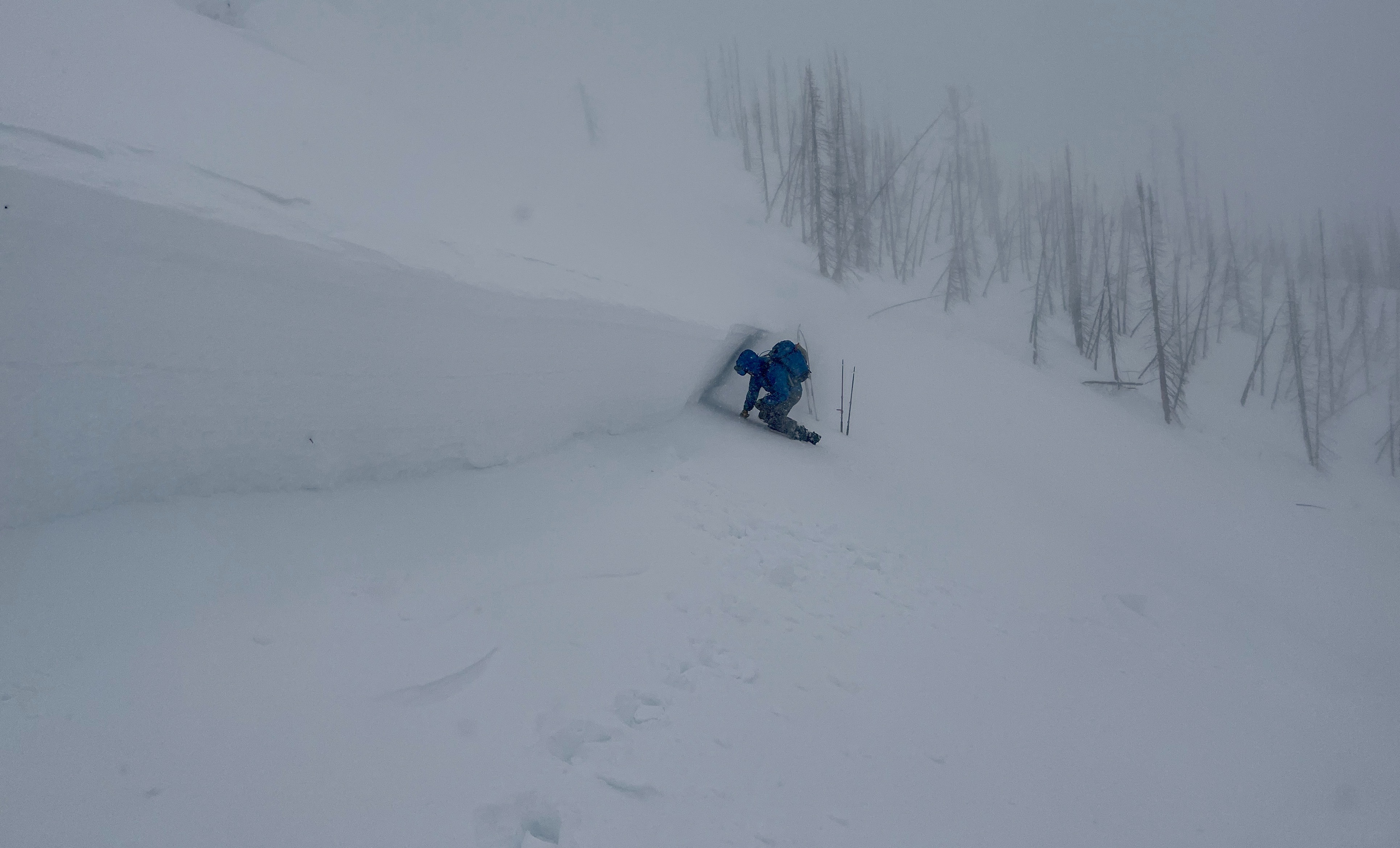
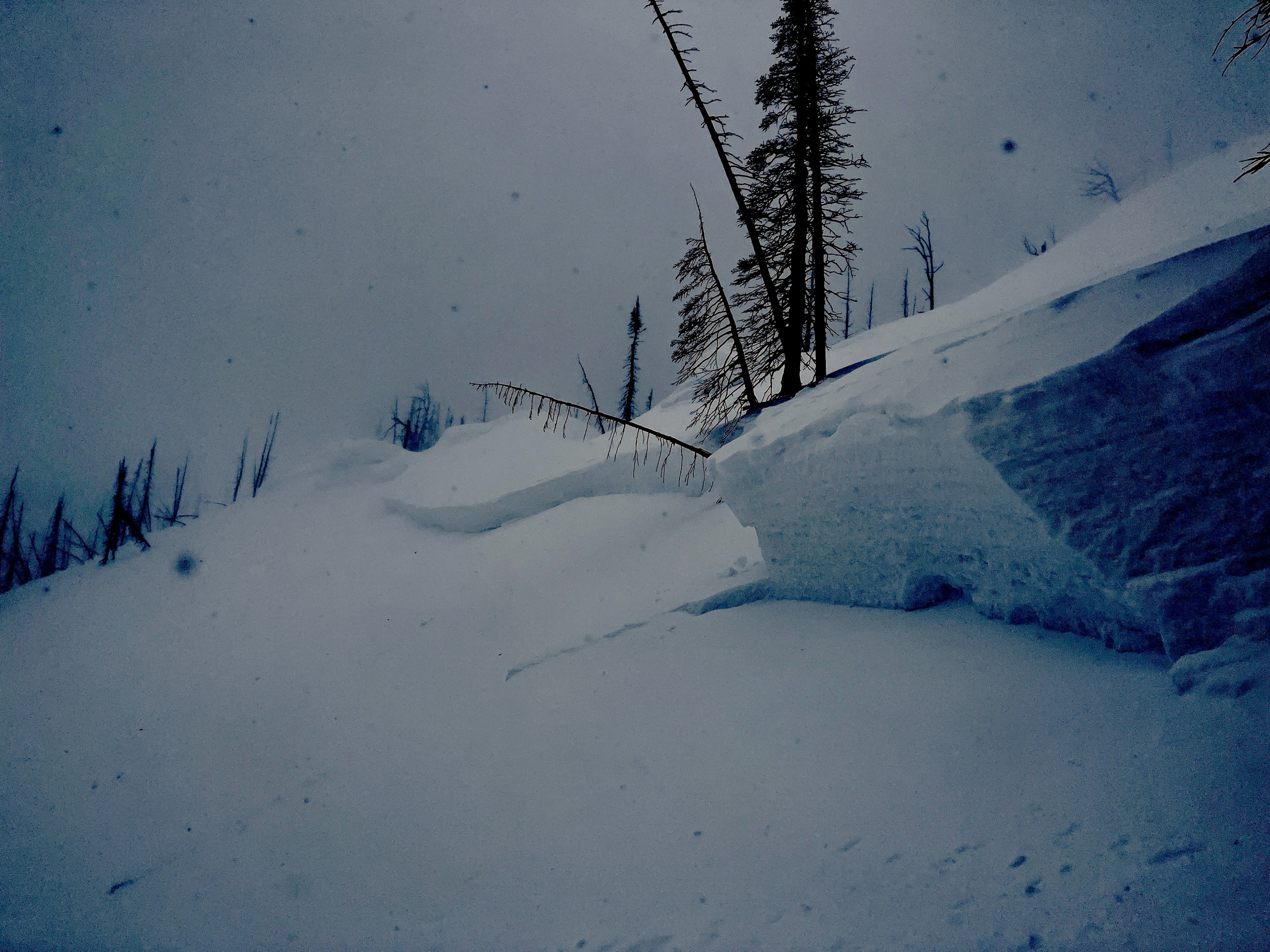
Today we visited a crown to identify what the recent carnage in the Flathead Range is failing on. We suspect this slide occurred during the Feb 20/21 storm.
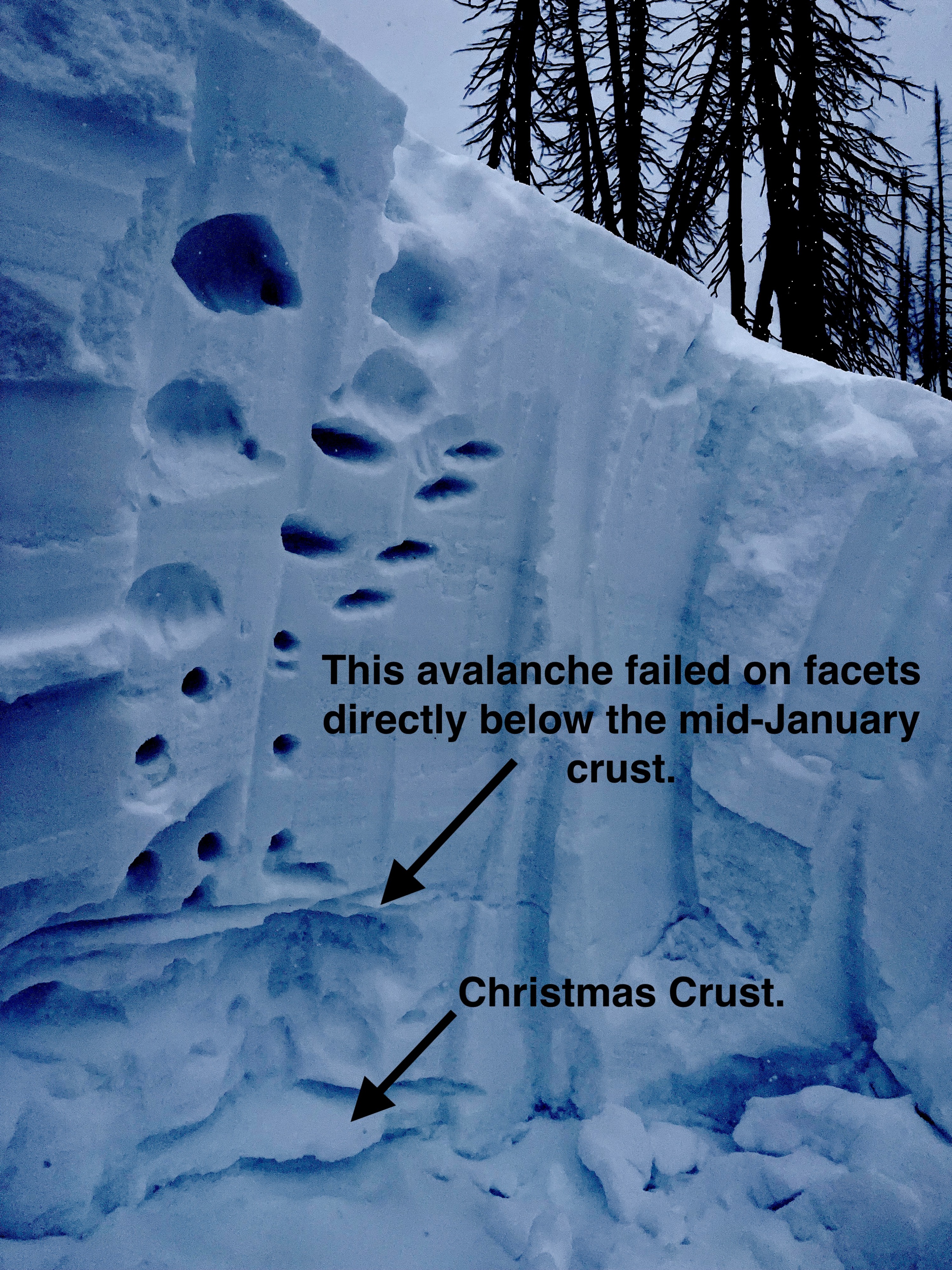
- We observed a hard slab that failed on a persistent weak layer (facets below the mid-January crust). This avalanche failed on an E aspect at 7000 feet.
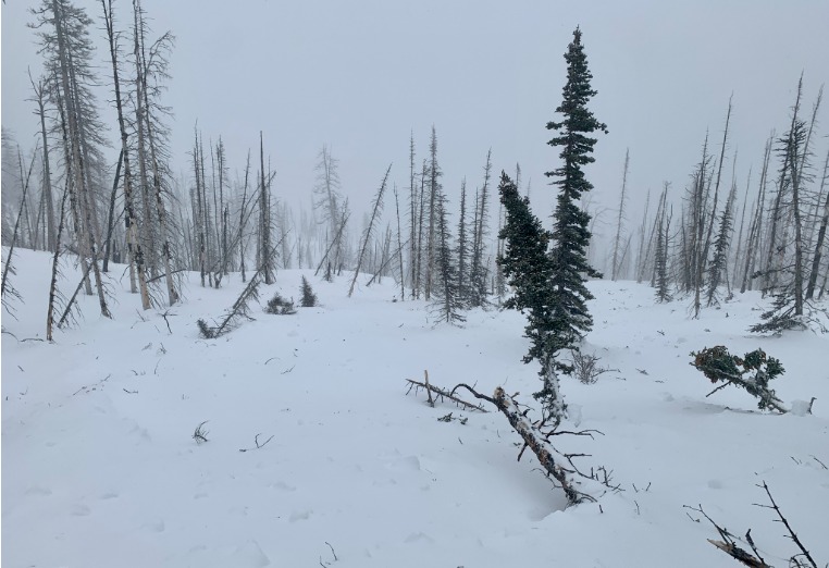
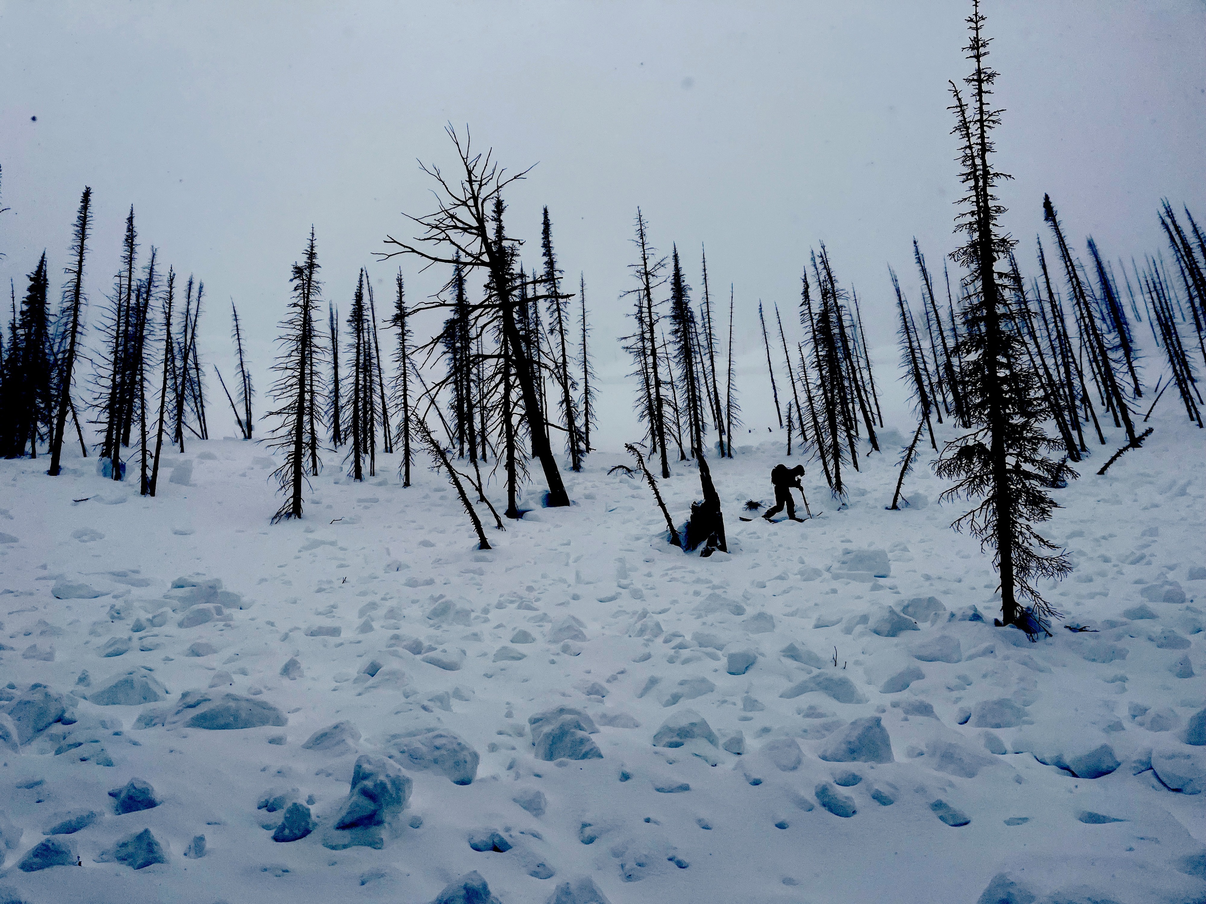
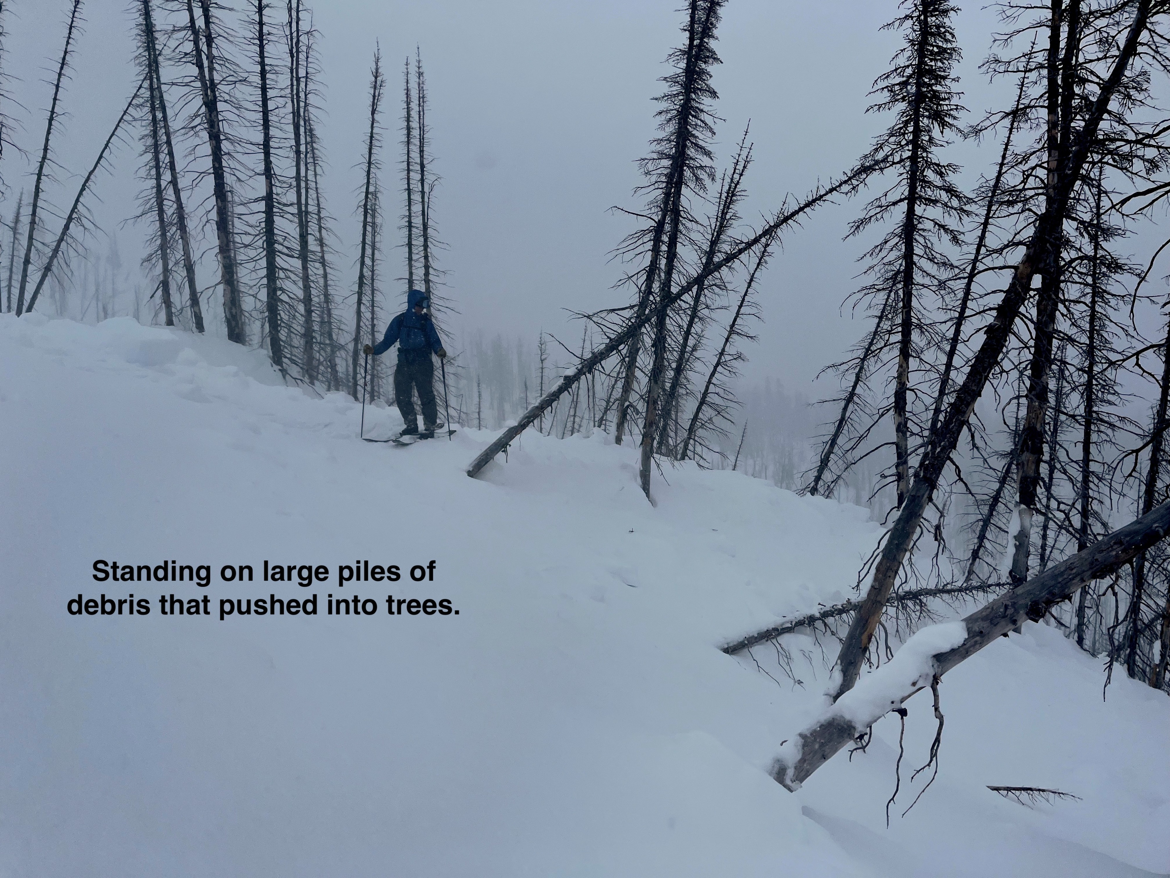
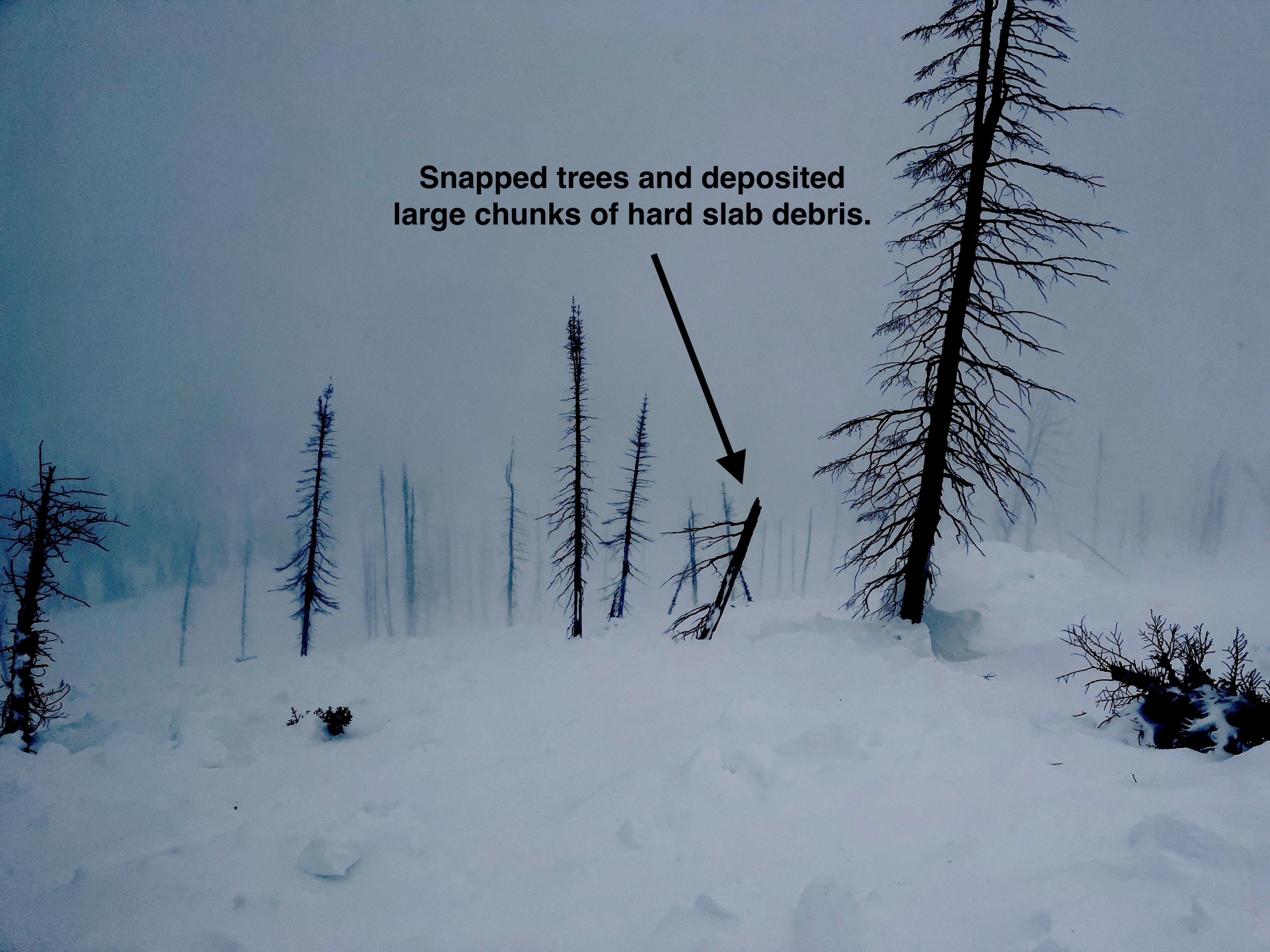
- We estimated this avalanche was a D3 (very large). We found snapped trees in the debris on the smallest part of this avalanche. Visibility was obscured where this avalanche ran the furthest.
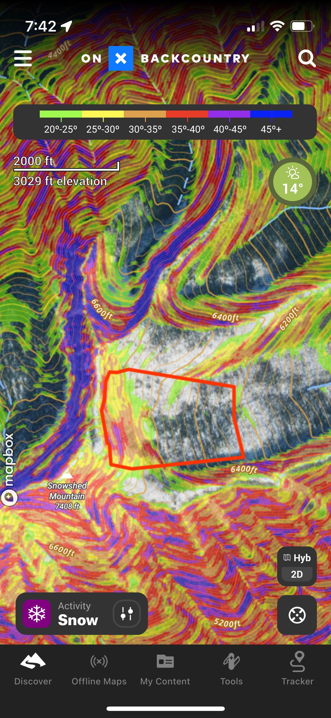
- A large portion of this avalanche wrapped onto a 30-degree slope. That slope angle is the low end of slope steepness for "avalanche terrain." The majority of this start zone measured 35 degrees.
- Strong winds were transporting snow into small firm slabs. The only sign of instability in the new snow was isolated cracking.
We traveled on bed surface and avoided steep terrain that had not slid. Unfortunately, this will likely be my approach for some time to come in the Flathead Range.
Sorry for the bad photos. Poor lighting.
Weather
- Cloud Cover
- overcast
- Wind Loading
- moderate
- Recent Snowfall
- 1
- Snow Avail For Transport
- small smounts
Gale force gusts at upper elevation ridgelines. Increasing winds throughout the day.
Avalanche
- Size
- D3 R4
- Type
- HS
- Trigger
- N
- Elevation
- 7000 ft
This slab failed on facets just below the mid-January crust. We traced crownline 1200 feet and it conitnued out of site. Visibility was poor.