
Quick report
Snow coverage was spotty at best below 8000'. Where there was snow, the surface was moist as the storm moved in and the wind had begun moving significant amounts of snow by midday.
Weather
- Air Temp
- 30-38
- Cloud Cover
- overcast
- Wind Loading
- moderate
- Snow Avail For Transport
- small smounts
Late morning temperatures were above freezing, and skies were mostly cloudy. By early afternoon, the skies were overcast to obscured as the storm began. There were strong to moderate winds out of the west.
Snowpack
South and southeast aspects, the top 10-20cm of the snowpack was moist and consolidated, resting on top of a crust 3- 5 cm thick that was breaking down. Below this brittle crust was 20- 30cm of facets before reaching another thick crust. Total snow depth ranged from 50- 65cm.
Northeast and east aspects, the top 20cm was moist snow sitting atop an 8 cm thick crust that varied in strength. Below this are 30cm facets resting on another crust.
West and northwest aspects, the top 10-15cm was wind-loaded snow resting on a 1cm crust. Down 5-8cm was an additional crust with facets developing between two. Below the lower crust was 20- 30cm of facets before hitting another crust. One thing of note we did find 3- 5cm near surface faceting in some spots above the upper crust.
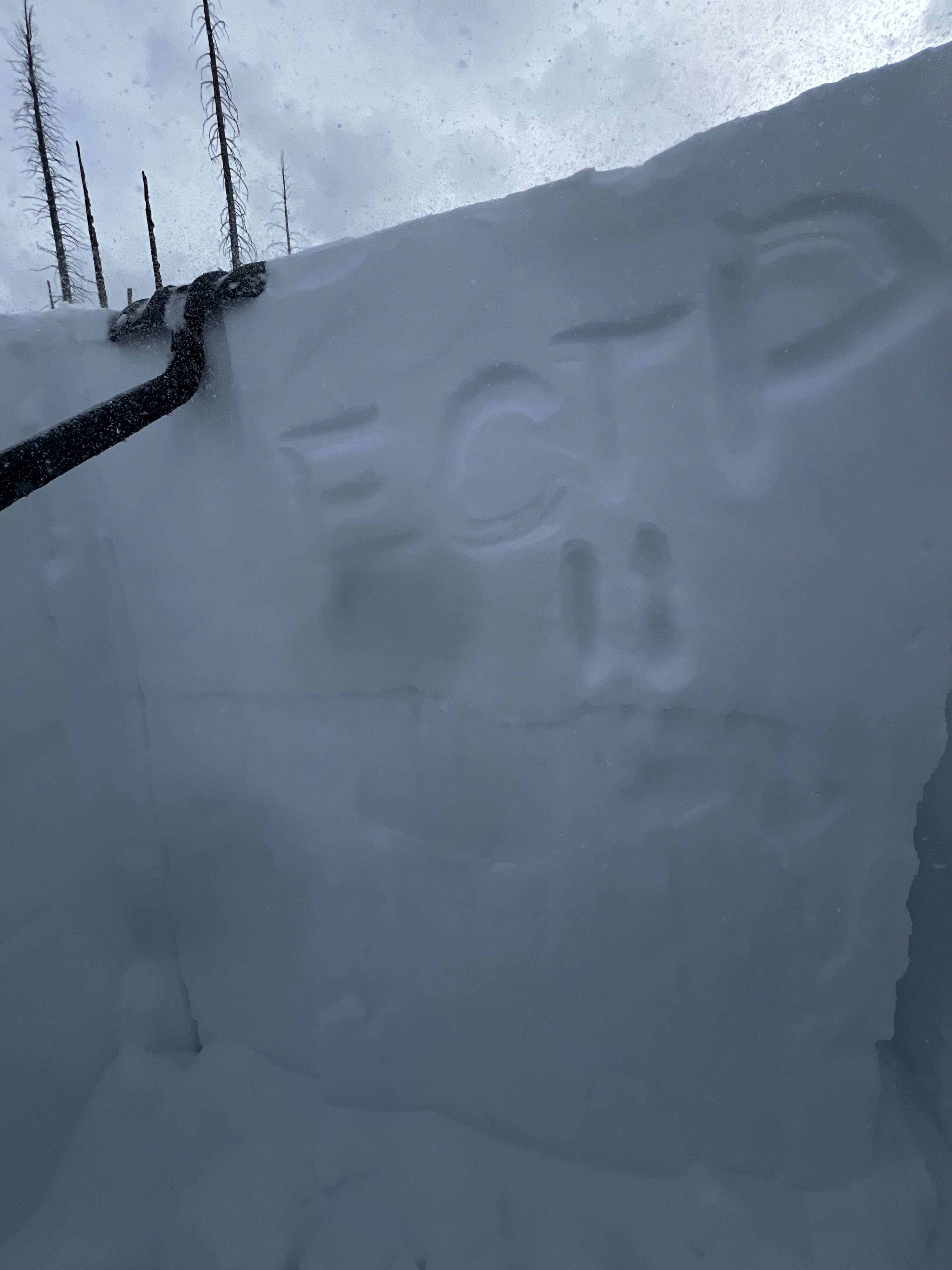
North aspect at 8400' had some wind loading in the area we dug. It held the most snow by far at a HS 155cm. Test results produced an ECTP12 and ECTP11 down 57cm, failing on the 2/8 buried weak layer.