
Quick report
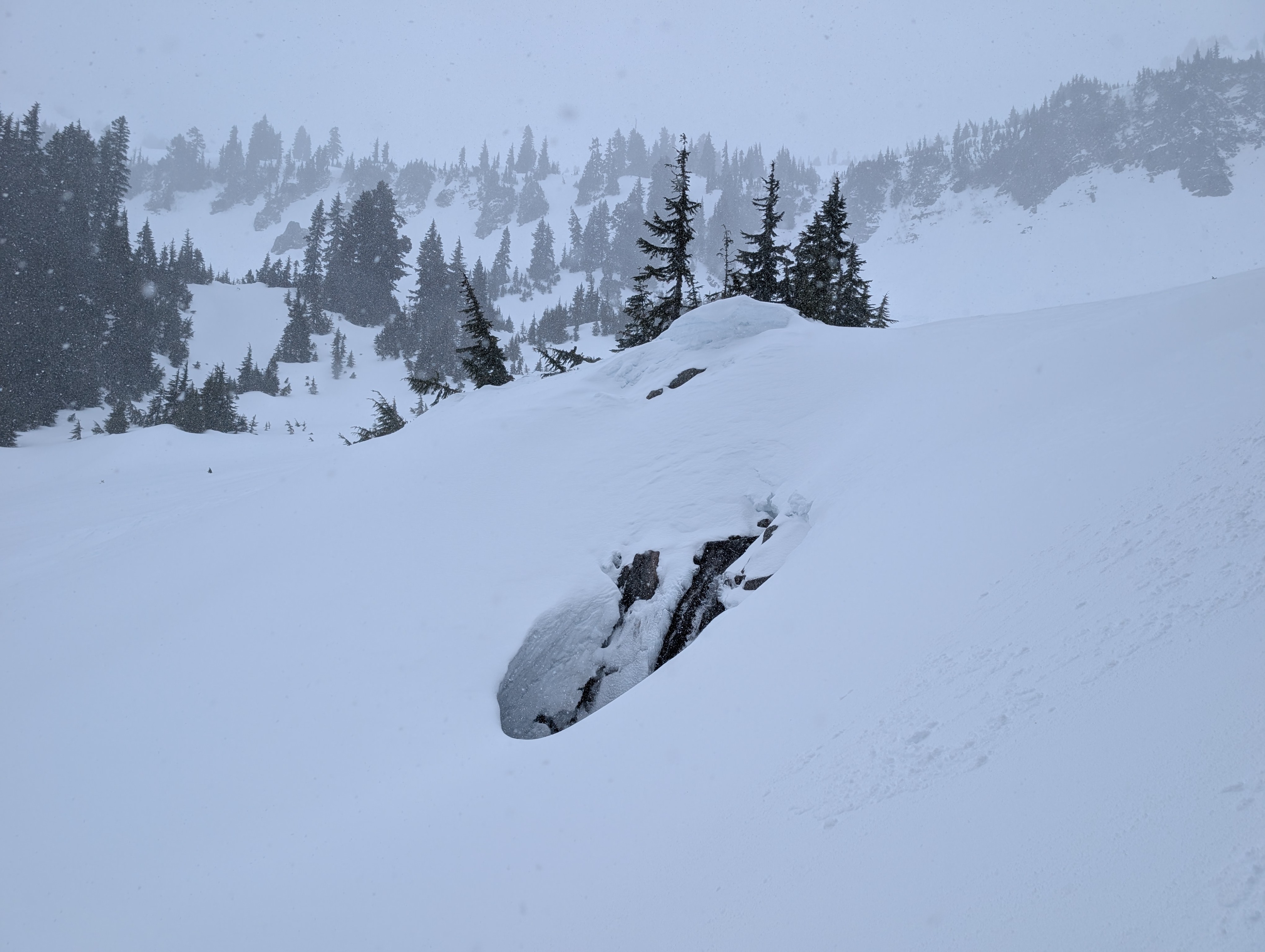
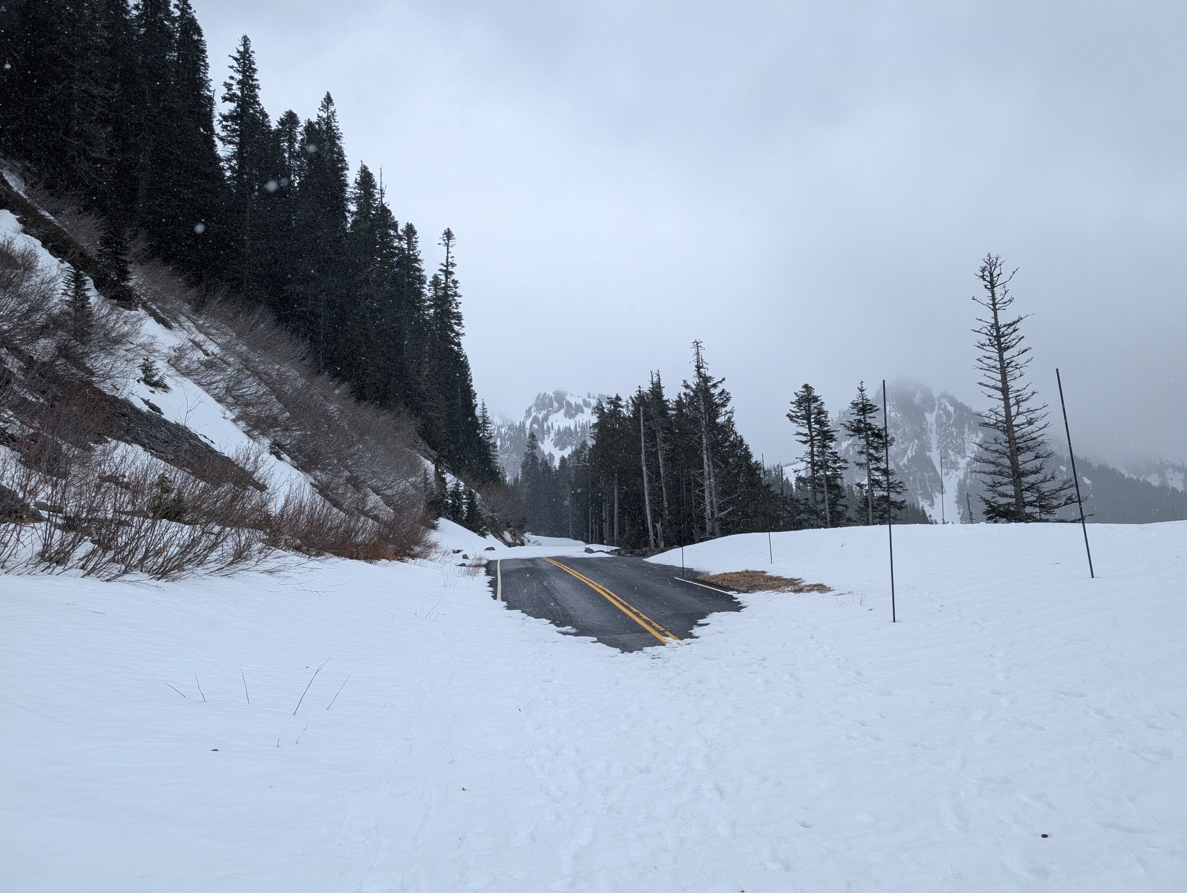
We took a relatively quick trip up to the Tatoosh Range today to get a look at conditions ahead of more snow in the forecast this week. The name of the game is variable right now, with a mix of icy surfaces, breakable crust, and pockets of soft dry snow. Visibility was bad, but there is plenty of frozen avalanche debris from our recent warm weather.
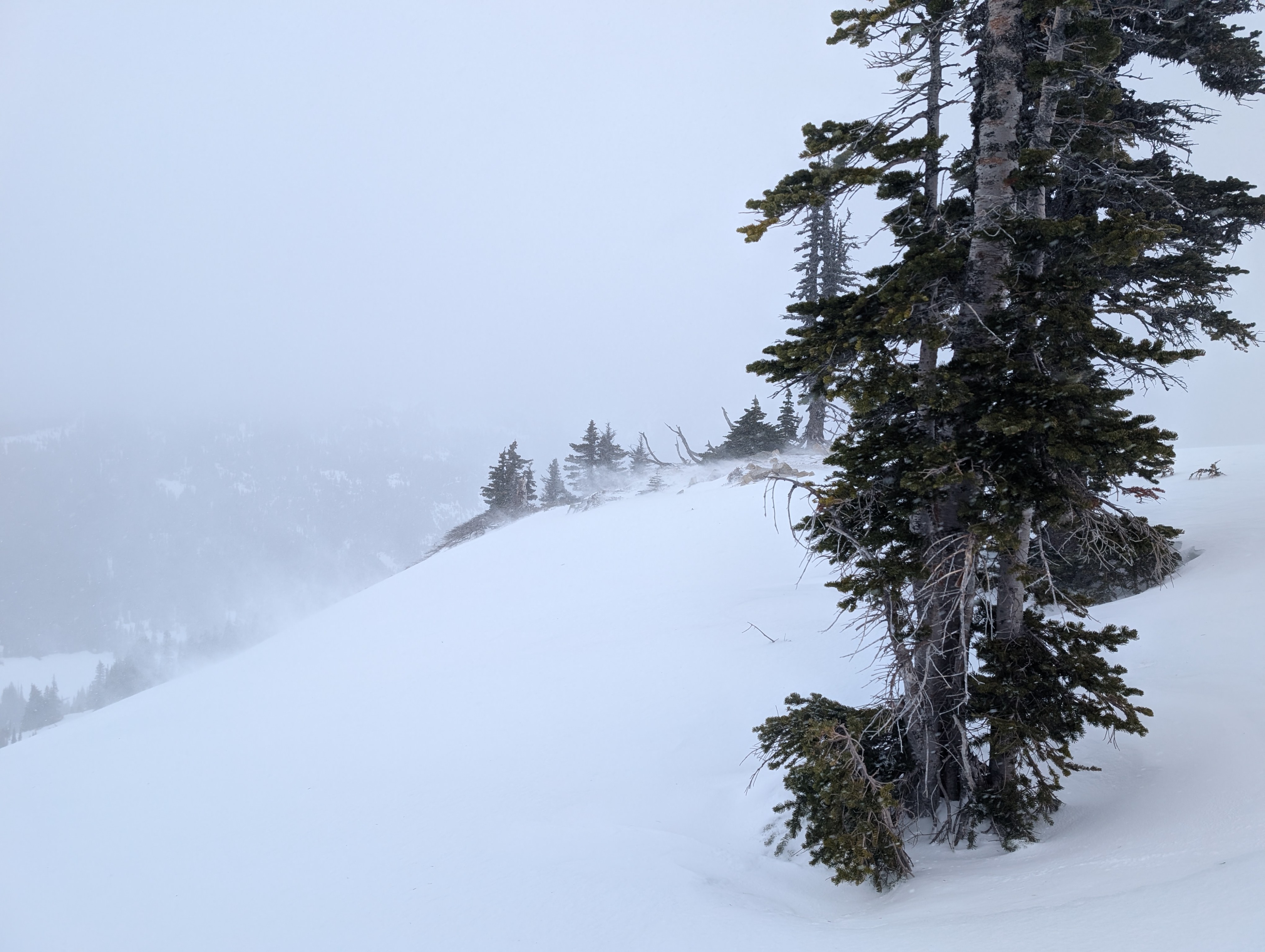
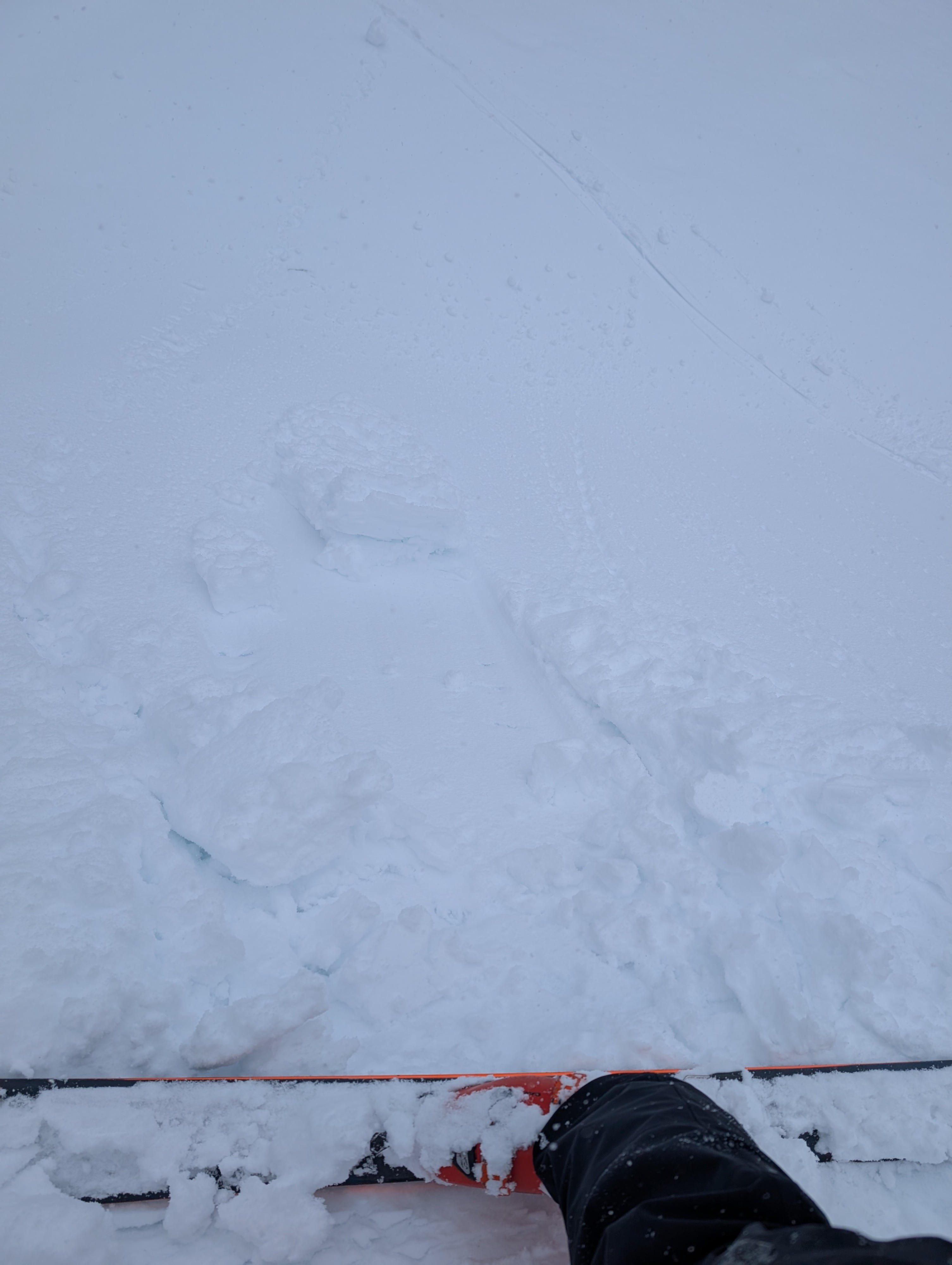
We noted actively blowing snow, but there simply isn't enough to create avalanche problems that are large enough to be called consequential. Same goes for the ability to push snow on the underlying 3/25 crust.
Travel was tedious at times, with holes, slick surfaces, and bare ground.
Weather
Cloudy all day with periods of snow ranging from light flurries to S1 convective showers. The wind was moderate up near the ridgeline.
Snowpack
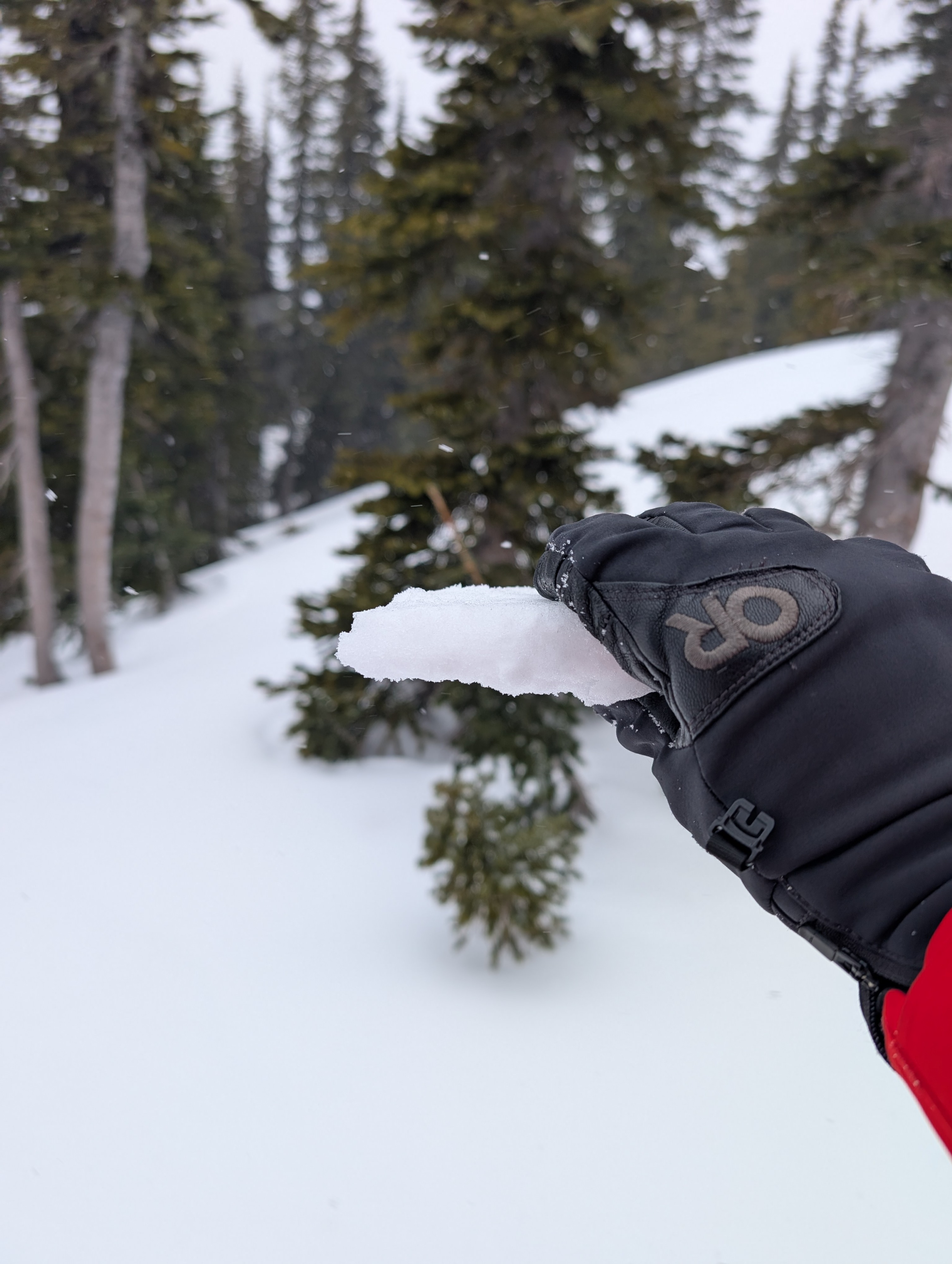
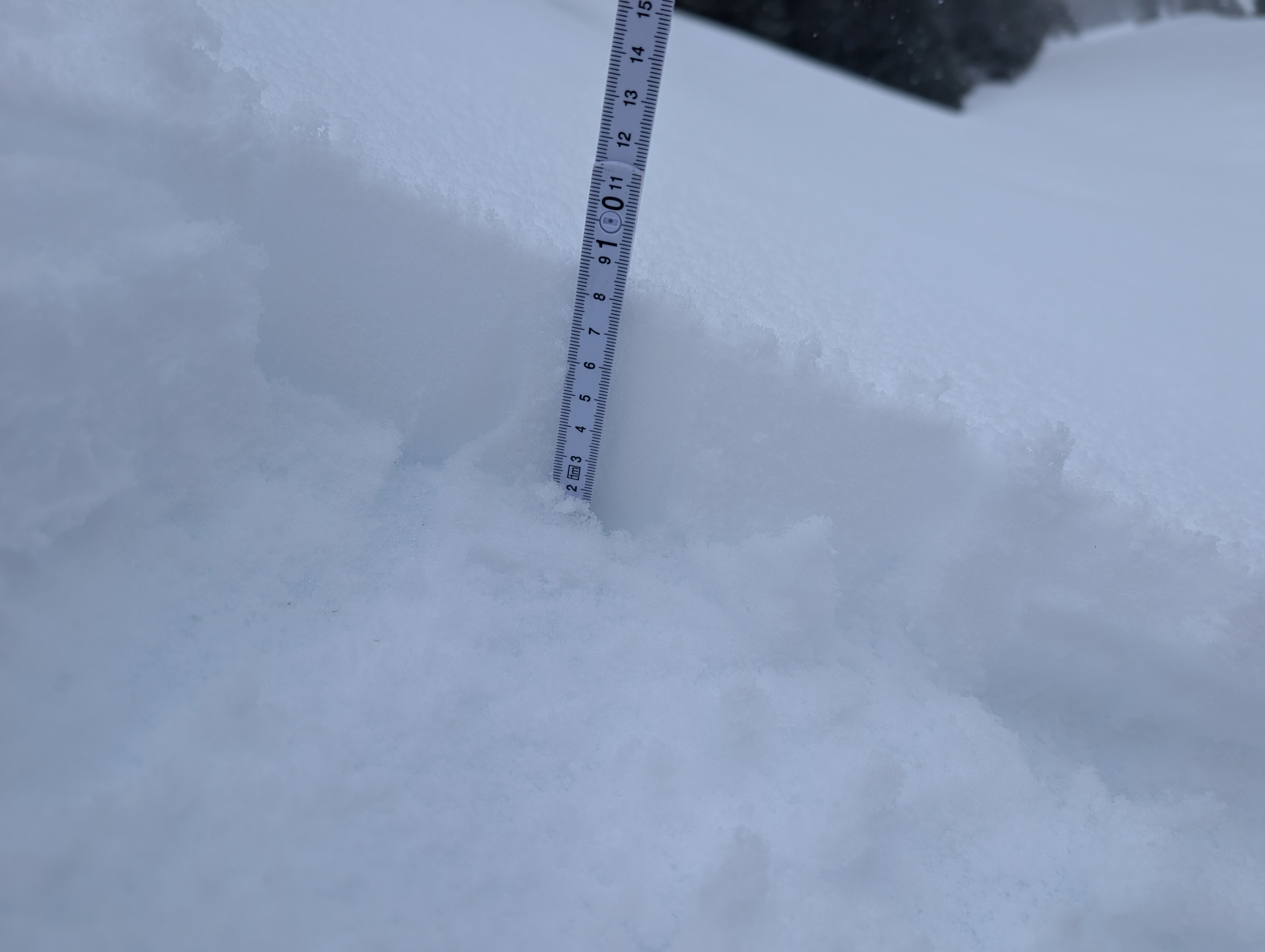
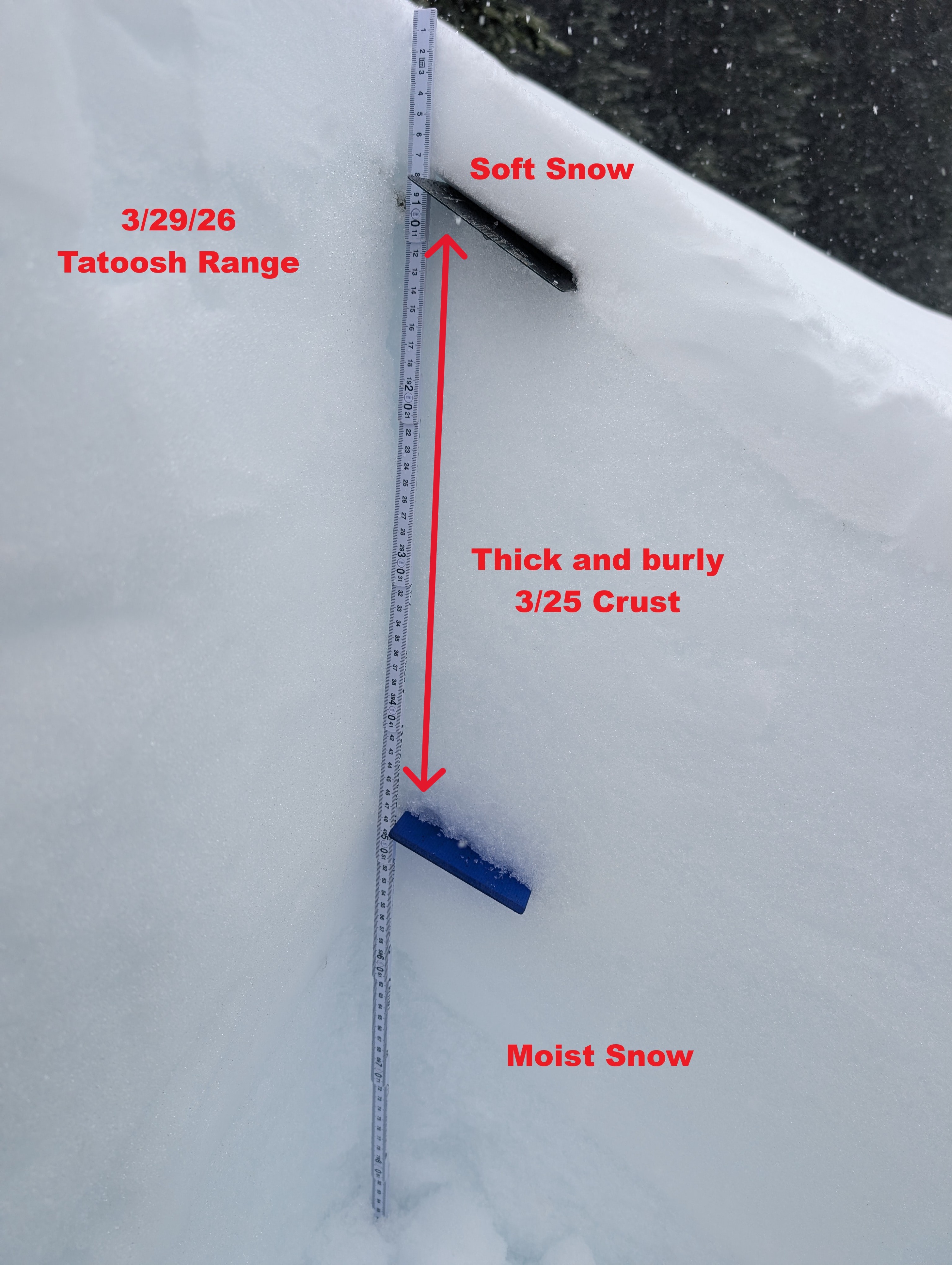
The snowpack is defined by the 3/25 crust, which was measured to be 40cm thick today. Above it, I found 8-13cm of snow in sun and wind protected areas. Elsewhere, scouring down to the 3/25 crust exists in wind-exposed areas, and there are transition points with breakable crust.
New snow wasn't enough to create hazard or improve coverage much, but was sifting around into depressions in the irregular surface.