

Quick report
18 to 30 inches of snow existed in most areas we traveled in today. Some more sunny slopes held less snow, and wind-drifted places held more. Most of this snow came from the recent storm.
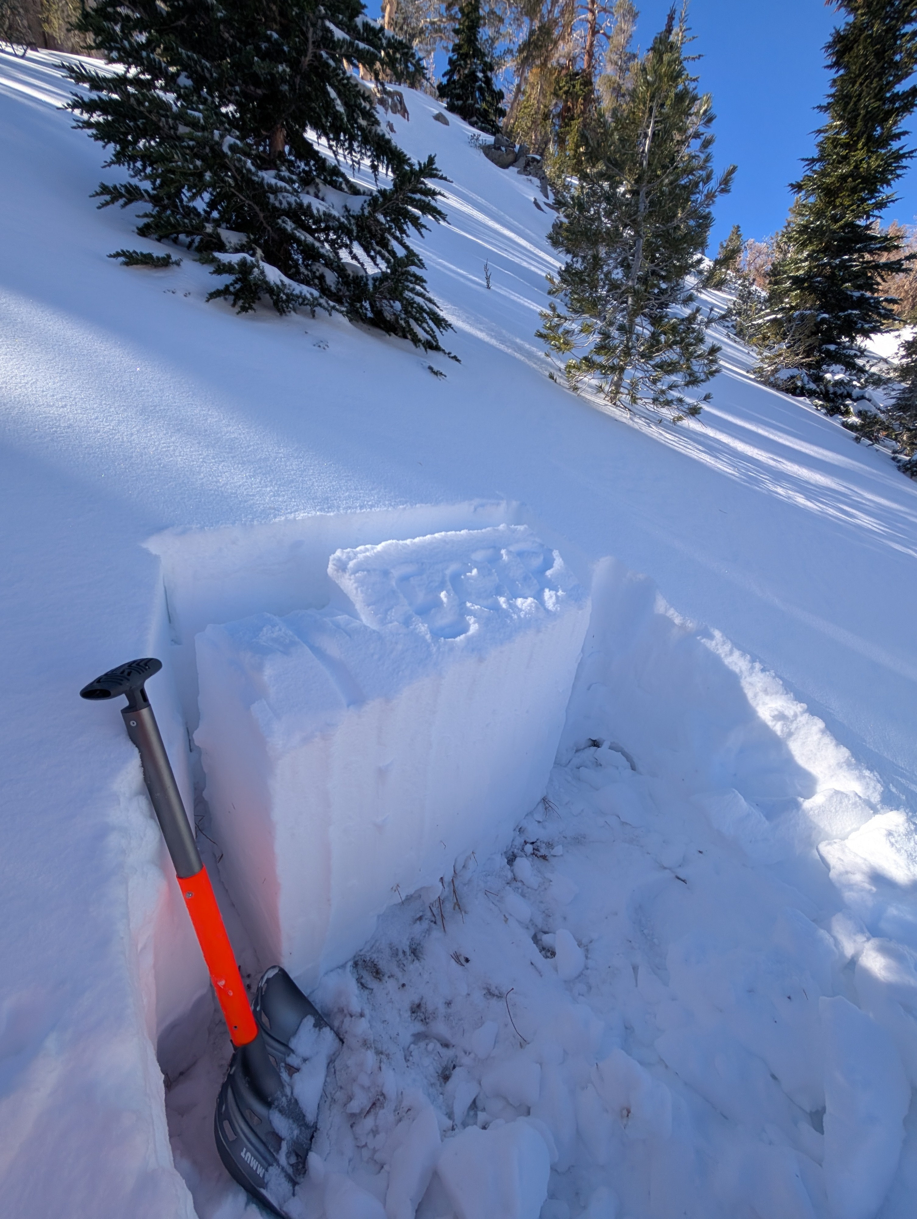
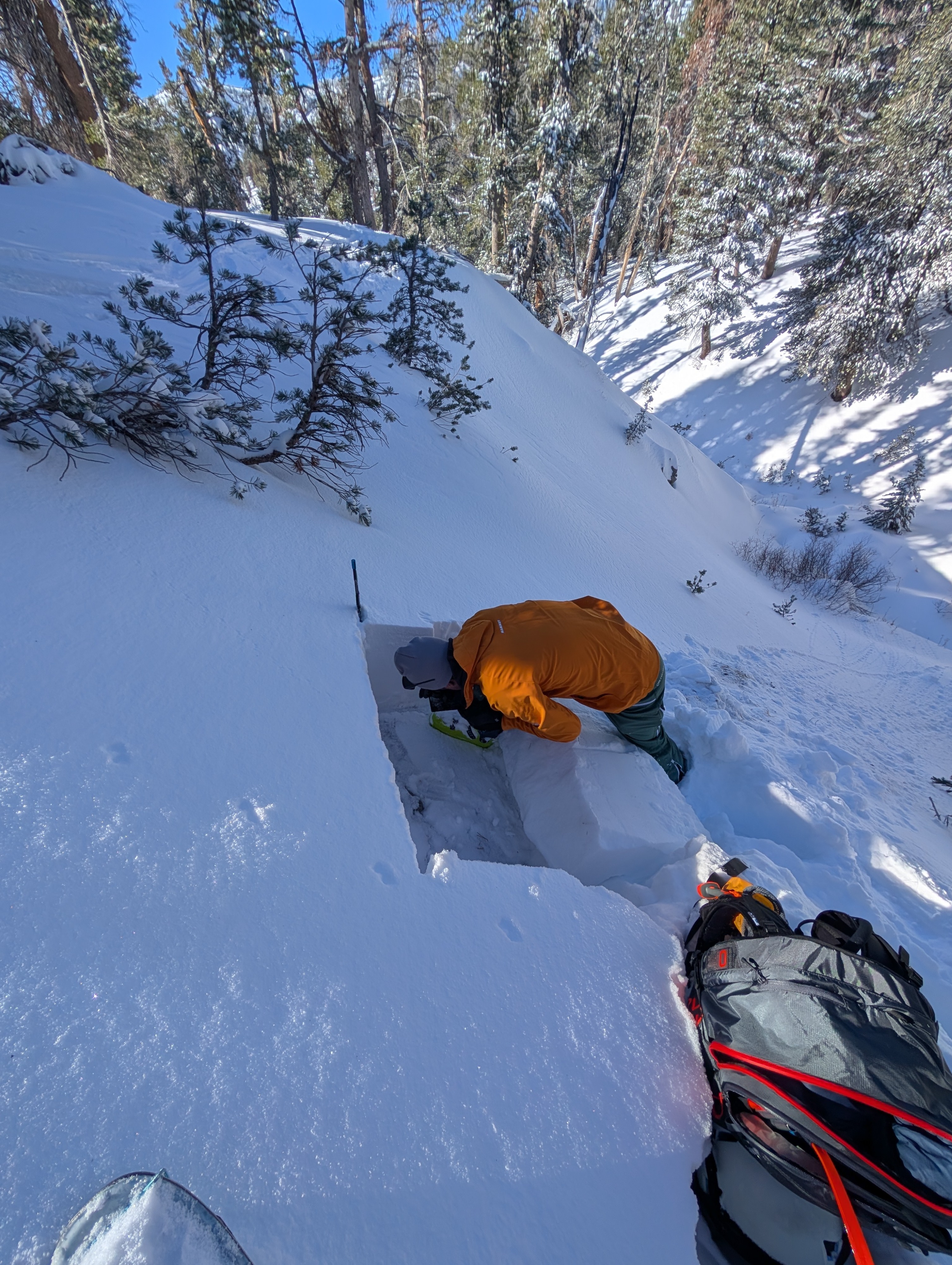
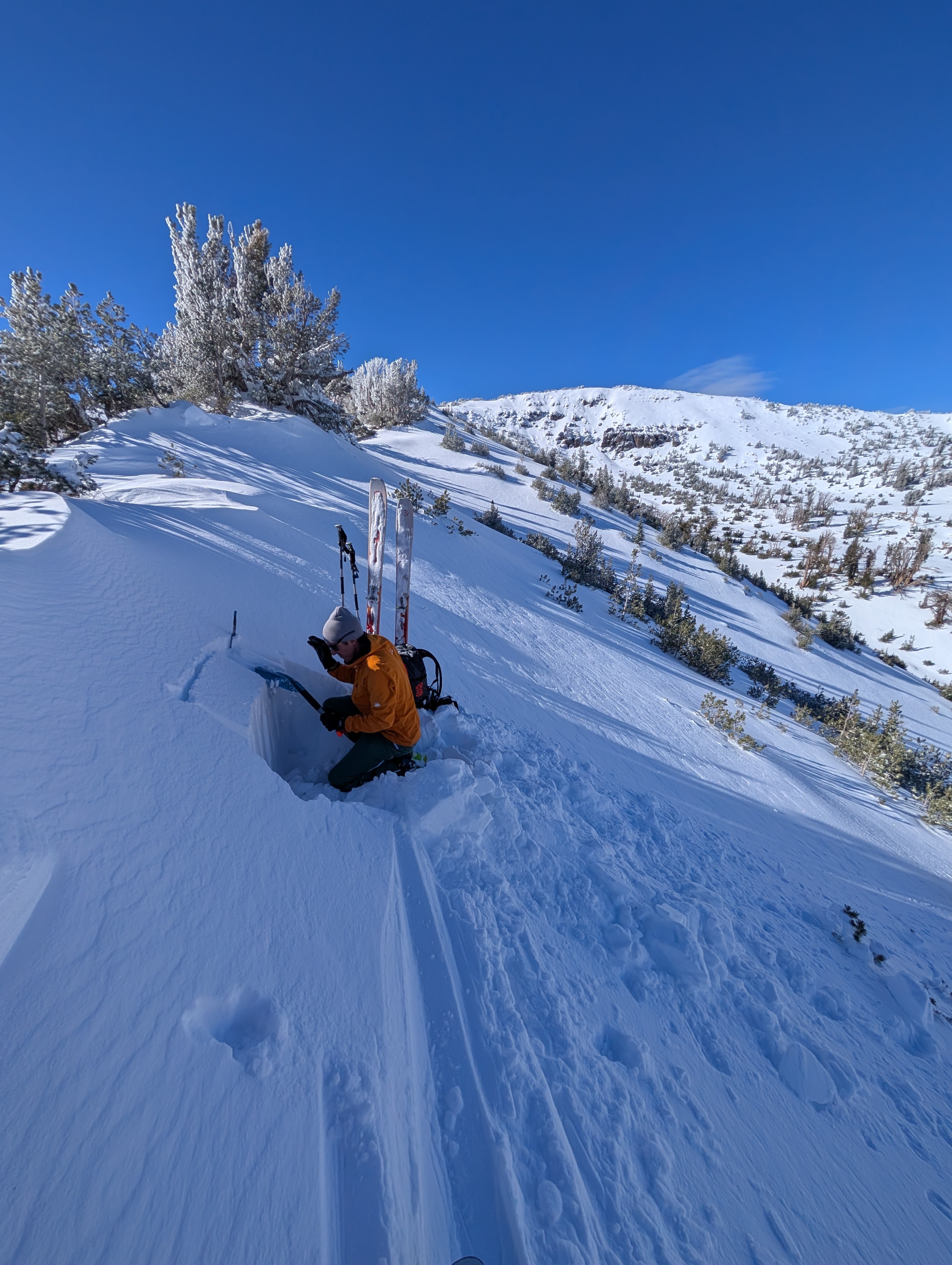
We mainly explored N-NE-facing terrain, where we expected weak snow to exist below the recent snow. Based on the number of collapses reported yesterday and the persistent weak layer at the base of the snowpack, we avoided steeper terrain. The test slopes and small avalanche paths we saw during our tour had not avalanched recently, nor did we trigger any additional collapses as we passed them in lower angler terrain. Even though we could feel the weak snow with our poles and our snowpit tests produced unstable results, we did not see other signs of obvious instability.
Weather
- Air Temp
- 20° F
- Cloud Cover
- clear
- Wind Loading
- previous
- Recent Snowfall
- 15
- Snow Avail For Transport
- moderate amounts
Sunny and cool weather prevailed over the area today. Winds remained light except for a few moderate gusts along the ridges.
Snowpack
The recent snow has grown more supportable and dense. On most northerly aspects and some easterly aspects, the old snow near the ground remains weak. Snowpit tests on N and NE aspects at 8900 and 9200 feet produced unstable results as this old, weak snow broke (ECTP 13, ECTP 11). Tests did not produce unstable results in more exposed areas where previous strong winds had scoured away the old snow (ECTN @ 10,000 ft on an exposed NE aspect).