
Quick report
A slab over weak layer structure exists on shaded middle elevations. There were no obvious signs of instability but triggering a persistent slab remains a possibility here. Weak snow surfaces including facets and facet + crust combinations are not likely to bond well to the incoming snowfall.
No signs of instability.Weather
- Cloud Cover
- broken
- Wind Loading
- previous
- Recent Snowfall
- Trace
- Snow Avail For Transport
- small smounts
Mostly grey day with a couple of blue holes and some diffuse sun. Some very light snowfall but no real accumulation. Very light or calm wind.
Snowpack
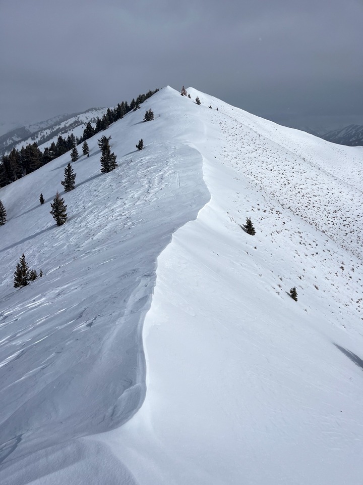
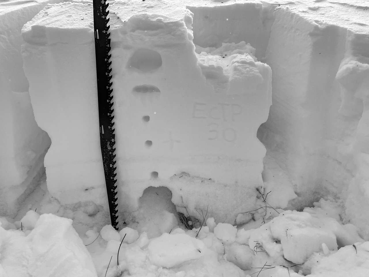
Overall snow cover is limited on S, SW and W aspects at middle and low elevations. Sunnier margins are a complicated and compact mix of facets and crusts. Shaded slopes held anywhere from ~50-80 cm. These slopes held a more well-defined slab over a weak layer. The structure on these slopes is poor. In both wind-affected and more sheltered terrain, there's an obvious stiffer slab over weak large facets near the ground (see pic).
As we look ahead to storms Thursday-Saturday, I'd expect the generally weak snow in the upper 10 cm of the snowpack to behave poorly. This will be another windy storm. Heavy wind load and fairly impressive QPF amounts should awaken basal weak layers here.